WillhiteWeb.com
One of the most popular trails in North Idaho is Scotchman Peak. A nice trail allows you to cruise to the top where it is the most prominent point in the region. You will also have a high chance of seeing mountain goats.
In 1921, this was a patrol point.
In 1922 the lookout R.E. Broderick was summoned out by telephone and left for Missoula in response to a telegram stating that his brother, a student at the summer school of the Montana state university, was dying.
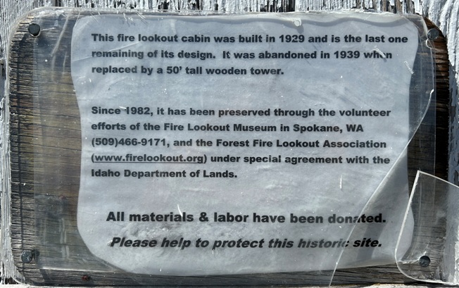
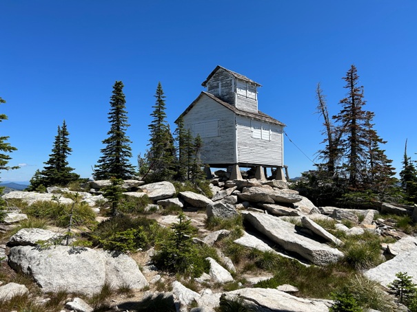
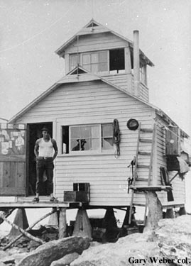
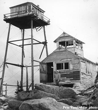
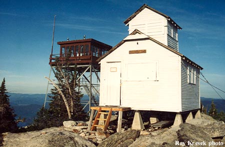
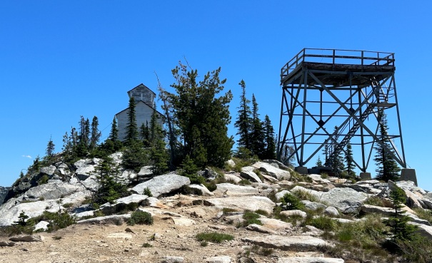
In 1929, the present L-2 cupola cabin (12 x 14 gable roof frame cabin with a cupola) was built.
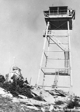
In 1939, a 50-foot pole tower with L-4 cab was built.
In 1947 it was discontinued and the tower fell down in the 1960's.
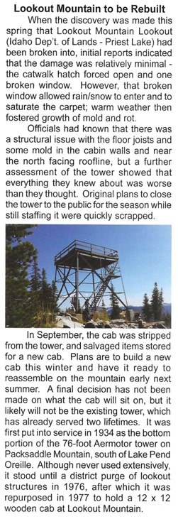
In 1977 the bottom 20 feet of the all-steel Packsaddle Tower was moved to the summit and a 15x15 foot wooden live-in cab was built. Another source says it was a Idaho Department of Lands 12 x 12 wood frame cab.
In 2017, vandals damaged the tower resulting in the wooden cab being removed.
The cupola cabins exterior has been an ongoing preservation project, and is listed on the National Historic Lookout Register.
Lookout History:
Summit Elevation: 6,727 feet
Hiking Distance: 2 miles each way
Elevation Gain: 1,300 feet
Prominence: 607 feet
County: Boundary
Access: Higher clearance vehicle needed
Lookout Mountain Lookout
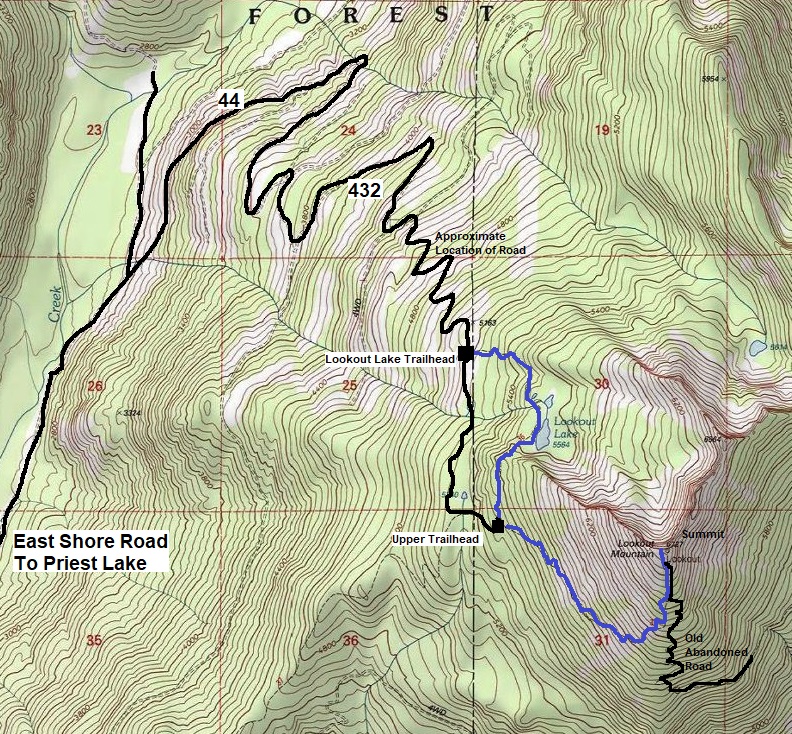
At the top of Priest Lake, on East Shore Road, continue past Lion Head Campground and the Sandpiper Estates. In about 3 miles, take FR44 at a large junction, then road 432. Although the road is not bad getting to the Lookout Lake trailhead, there were large water bars placed in 2023 that make a higher clearance vehicle needed. In time, they might wear down some. The road beyond the Lookout Lake Trailhead gets increasingly more rocky as you get close to the upper trailhead, good tires recommended.
Access
From the upper trailhead, there are at least 4 trails. Find the trail traversing Southeast. The trail climbs steadily until reaching the south side of the mountain where it starts up the south slope, at a switchback where an old trail drops down. The final 0.2 miles is on an abandoned rocky road.
Route
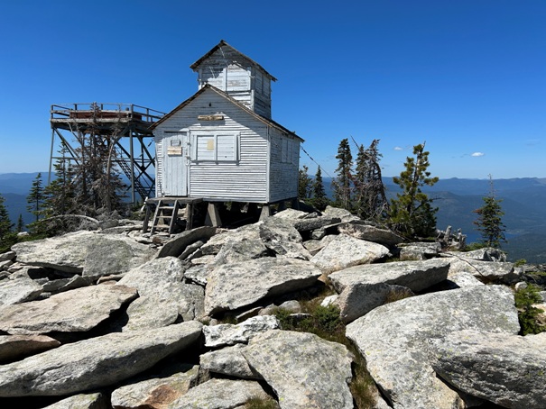
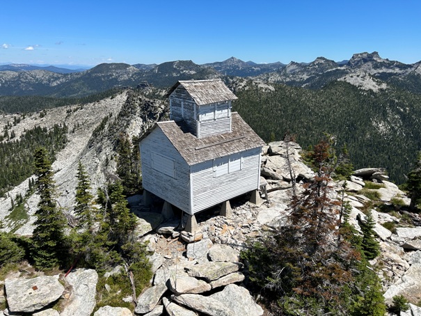
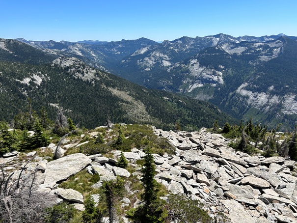



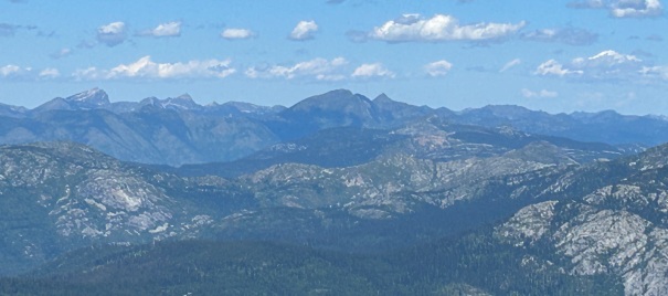

Looking NW with Snowy Top in center
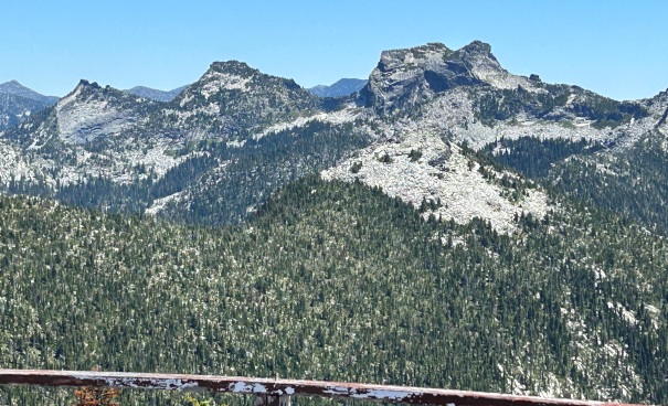
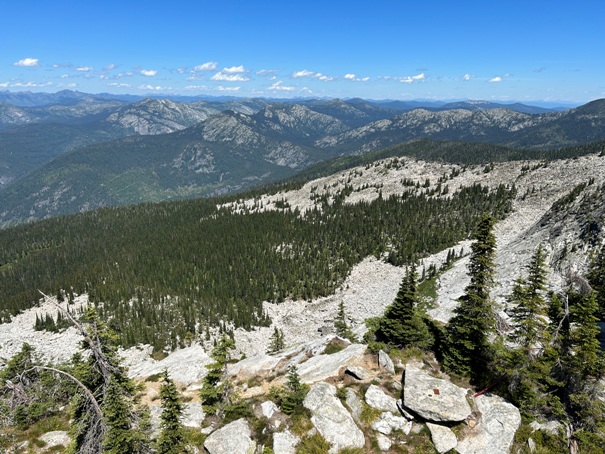
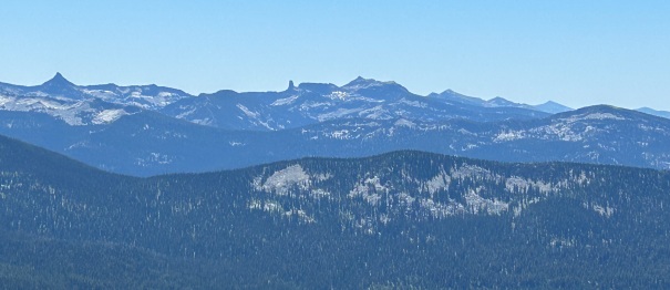
Looking south with Chimney Rock and Mt. Roothaan in the center
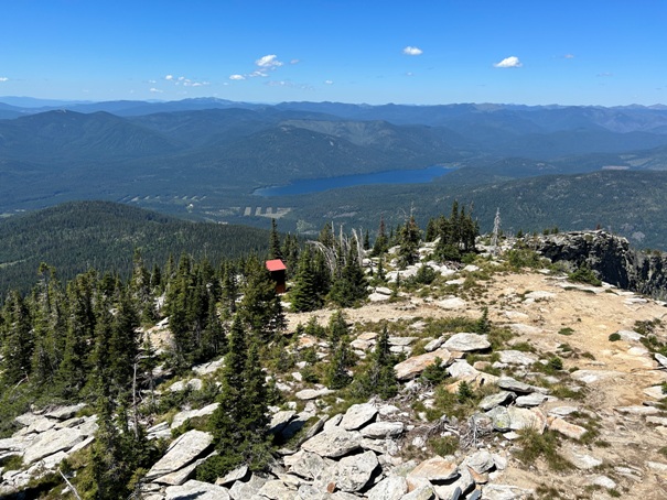
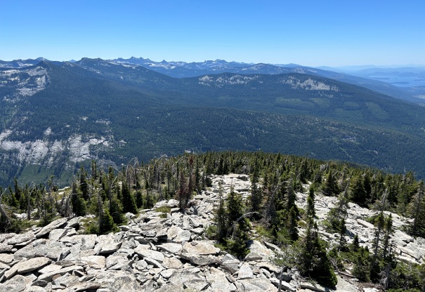
View east
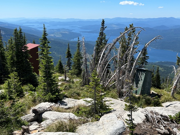
Older and newer outhouses
Lions Head
View north
Sign over the door to the cupola
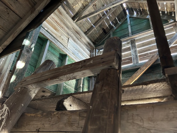
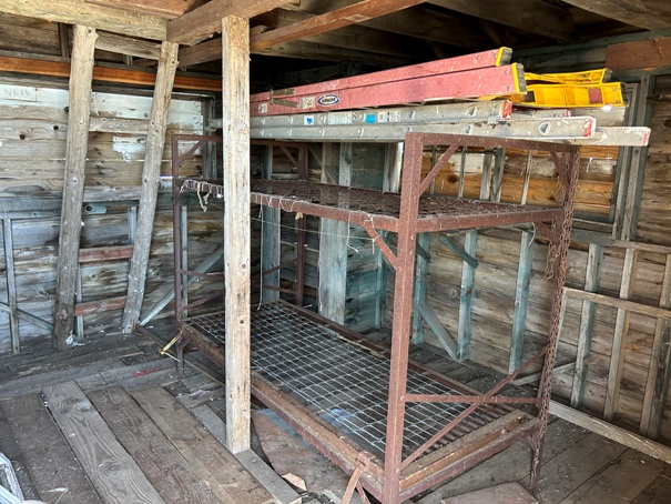
Inside the cupola (year 2023)
Looking up to the second level of the cupola
Year 1958
Year 1930
Year 1942
Year 1992
Sign on the cupola


