Elevation: 4,481 feet
Hiking Distance: 1.3 miles depending on where you park
Elevation Gain: 800 feet
Prominence: 2,238 feet
County: Bonner
Access: Gravel/dirt roads, high clearance needed for final mile or two
WillhiteWeb.com
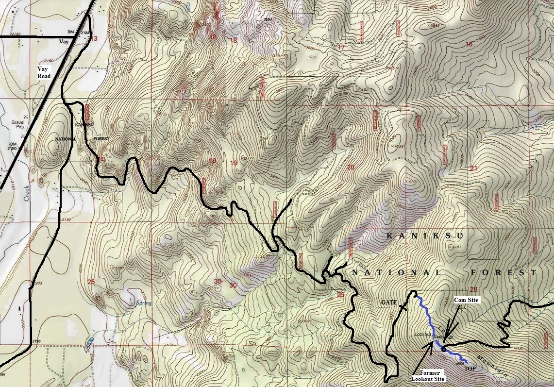
Past the gate, the road goes up to a switchback. Around that point, an ATV trail is reported to exist going uphill getting close to the lookout site. I did not see it but travel was not difficult through the forest. From the lookout site, the old road on the ridge takes you to the communications tower. Easy terrain exists from the buildings up to the true summit.
Long Mountain and Lookout Site
Access:
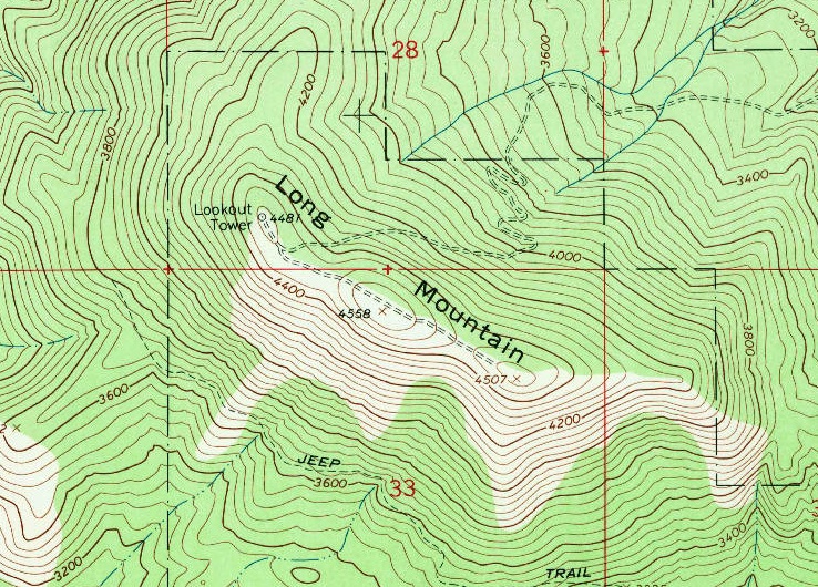
See the map to get an idea of the route. There are a few major intersections so you should have a map. Many park before the gate at 3800 feet as the turn around at the gate is tight. Another option may be available to access the summit via a road around the north side of the mountain.
Fire Lookout History
In 1959, state forestry personnel spotted their first fire from atop Long Mountain on July 9. Work was nearing the completion stages on the construction of a new forestry lookout station.
In 1960, the lookout was manned starting on July 1 by Mr. and Mrs. Larry Eaton of Sandpoint. Long Mountain was the areas one surviving manned lookout. But it seems by August, the lookouts were Mr. and Mrs. Ed Charland of Sandpoint (along with a baby).
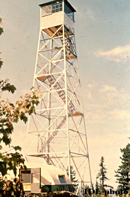
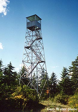
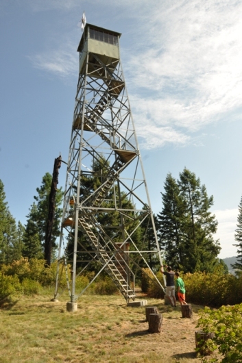
In 1963, the Aermotor MC-40 steel tower on Spades LO was moved to Long Mountain.
In 1967, the lookout was Joyce Sprinkle of Tucson, Arizona. She was a teacher in Arizona but had been a frequent visitor to the Sandpoint area.
In 1998, the tower was sold and moved by Dave Kresek to his property east of Spokane.
The State of Idaho Department of Lands offers the following for sale to the highest bidder: A 54 foot high metal lookout tower with a 12 x 12 wood cabin. Tower is structurally sound. Cabin has glass damage and door missing. Tower is located in the SWSW of Sec 28 T55N R3W B M. Bonner County, Id. Tower is sold as is where is and must be removed from the site by September 30, 1998. Access is via forest roads across USFS, private and BLM property. Any road maintenance necessary to access the tower will be the responsibility of the successful bidder. All roads damaged must be returned to their original condition. Successful bidder will required to post a bond in the amount of $5,000 to insure repair of any damage caused by the removal of the tower. No real property is included in this offer for sale. Sales tax will be collected unless buyer can furnish exemption certificate. Arrangements to view the tower may be made by contacting Nick Nicolls.
Route:
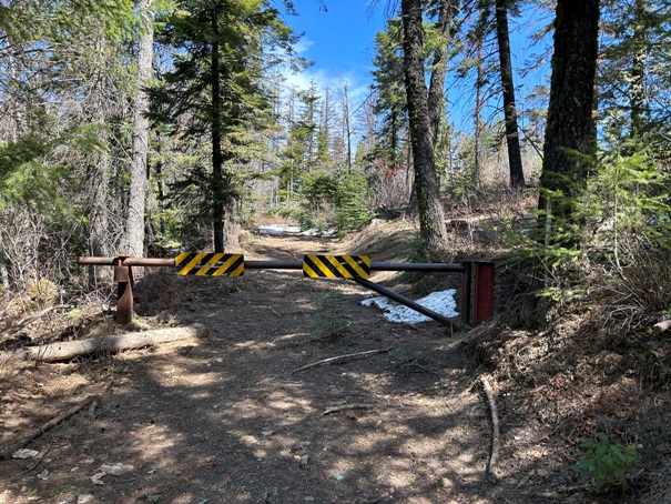

The gate
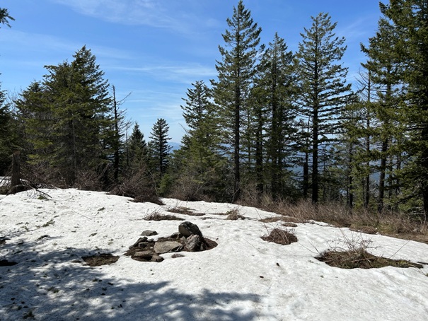
Lookout site in 2023
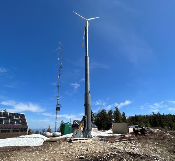
Communications site on the ridge
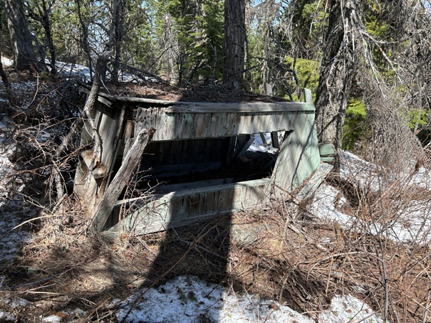
Old outhouse at the lookout site
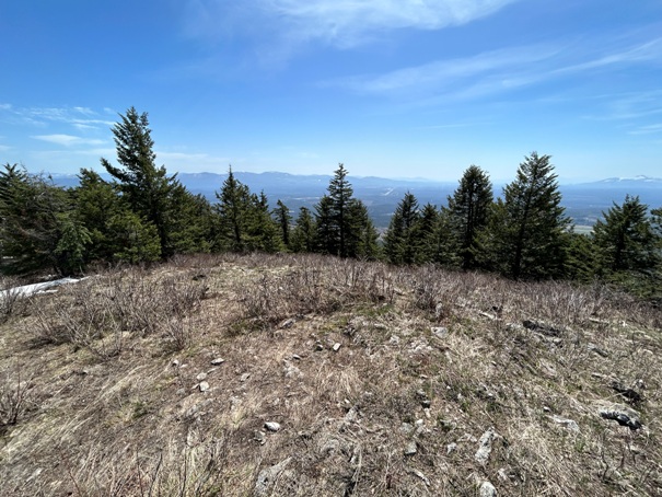
Looking south from the communications site
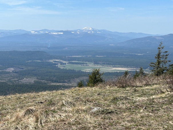
Mount Spokane to the West
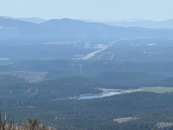
Athol and Highway 95
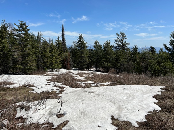
Limited views at the true summit
Limited views at the true summit
Tower today on private property
Older topo map showing tower location and old access road
1964
1955
Showing route I took


