Summit Elevation: 4,060 feet
Hiking Distance: Drive-up
County: Kootenai
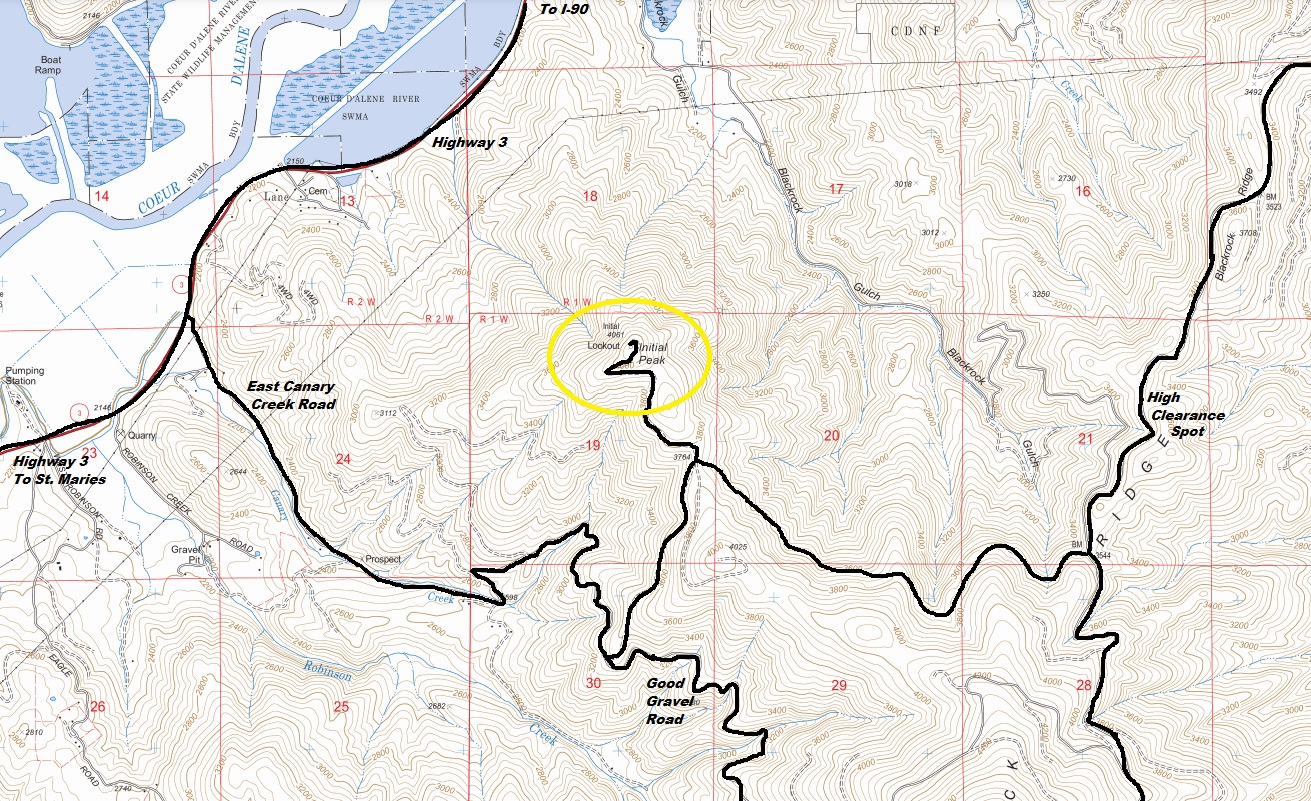
Access: Good gravel and dirt roads
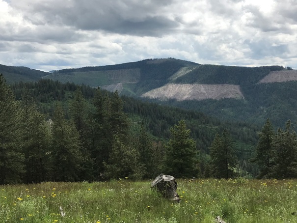
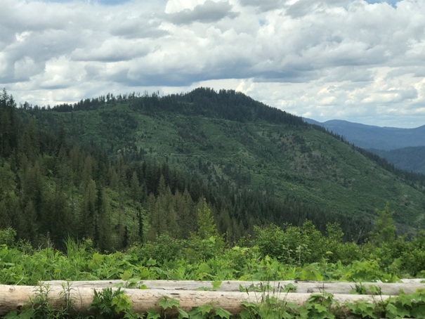
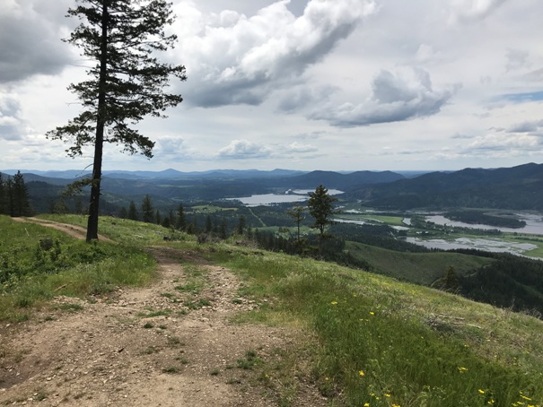
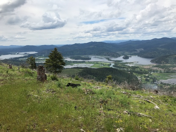
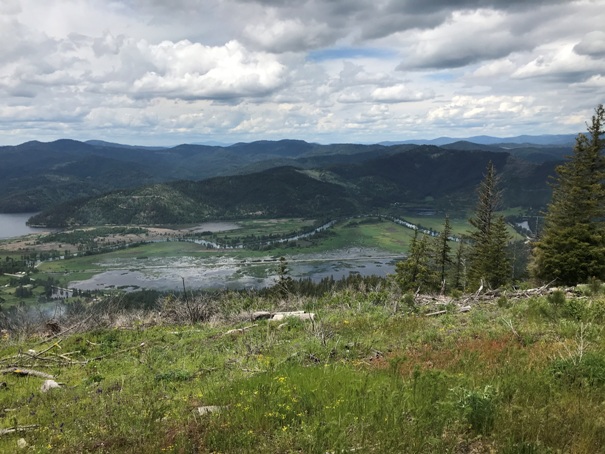
For now, this summit has some great views to the south and west thanks to some logging. The access is really good and most cars should be able to make it.
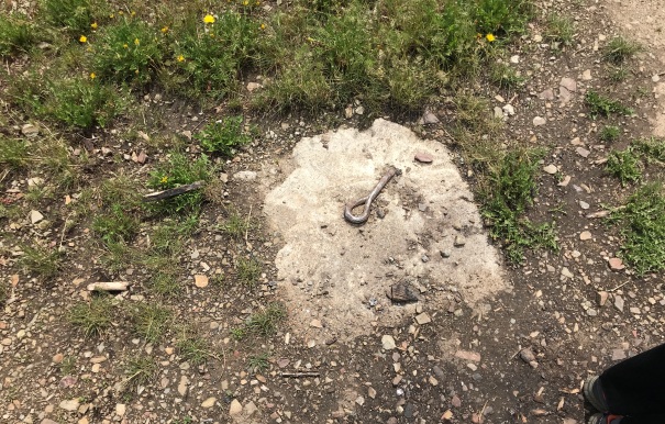
Lookout History:
In 1934, there was a 30-foot pole tower with an L-4 cab.
In 1950, it was destroyed.
WillhiteWeb.com
Initial Peak
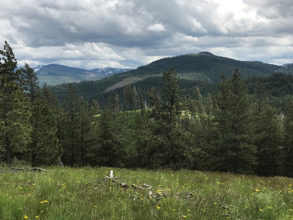

Latour Baldy and Frost Peak
Initial Peak from the East
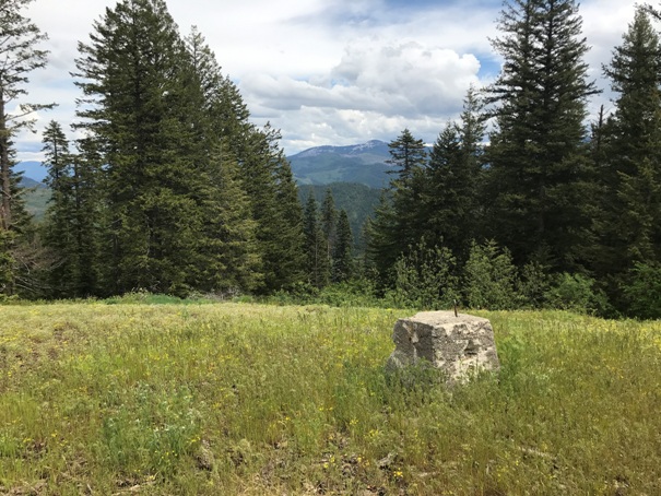
Footing almost covered
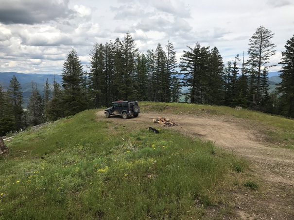
Parking area at the summit
Panoramic view southwest
Blackrock Ridge
Views southwest
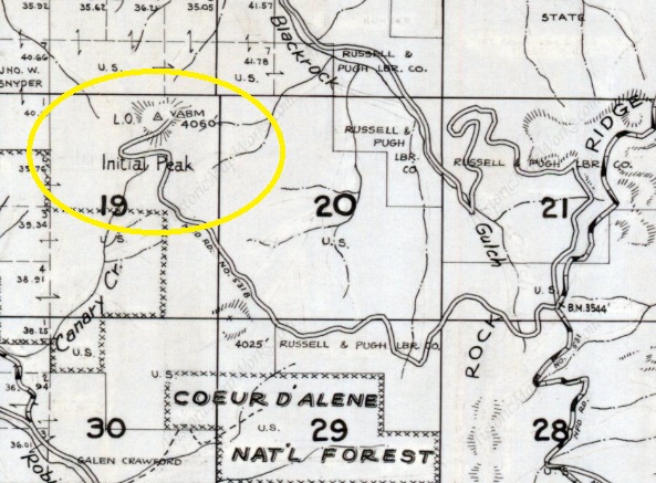
Metsker Map 1959


