Elevation: 2,892 feet
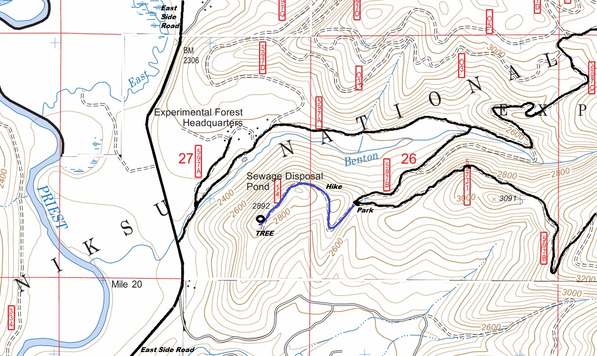
Hiking Distance: 0.6 miles one-way
Elevation Gain: 250 feet
County: Bonner
Access: Fair dirt road
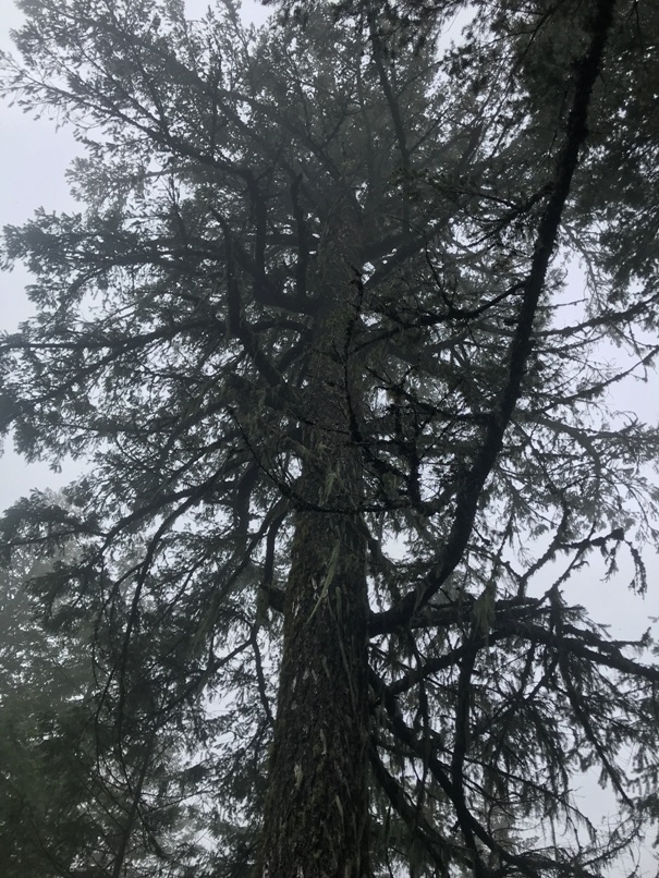
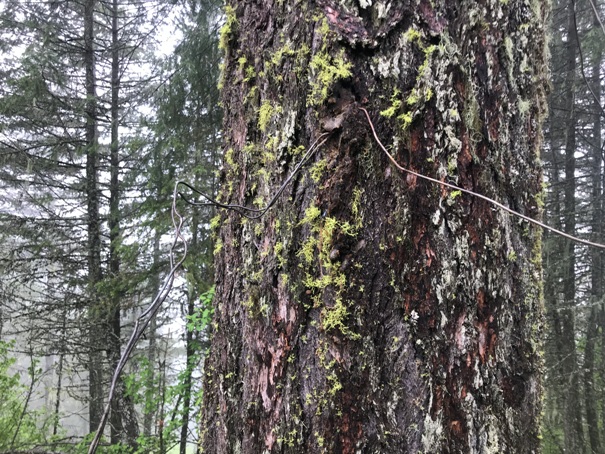
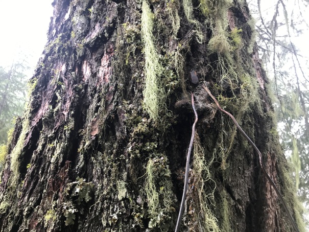
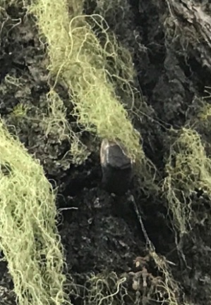
At this site, the crows nest tree is still standing but it appears the platform is gone. But, it was so small, it is hard to tell for sure. I did not have my drone. Look for the wire in the tree, then the old pegs for climbing the tree which are now almost grown over.
Access and Route:
From Priest River, make your way up the East Side Road to the Experimental Headquarters sign and turnoff. Follow the Gisborne Mountain Road (597B) to the switchback at the saddle at 2,680 feet. Park here and hike an abandoned spur road up to the 2892 knob. The tree is at the end of the road, a short distance further than the highpoint.
WillhiteWeb.com
Experimental Spur Tree Crows Nest
Lookout History:
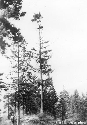
In 1928, a 60-foot crows nest tree platform was built.
In the 1940s, the tree was abandoned.
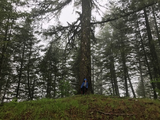
In 2022, the tree was still there.

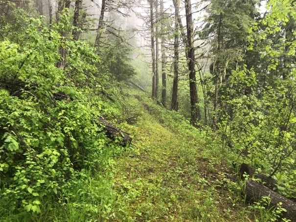
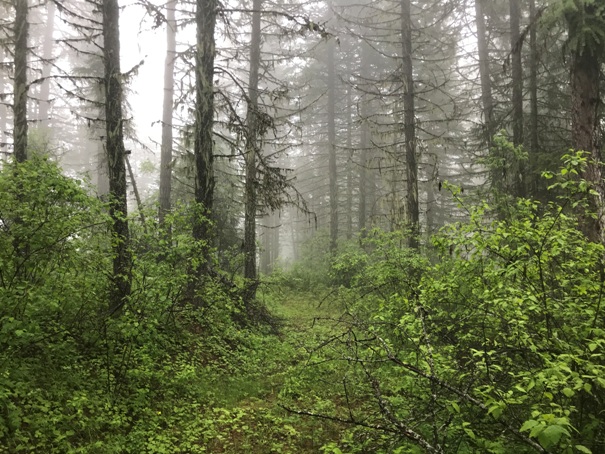
Hiking to the tree on the old road
On top working toward the tree
1927 Experimental Spur Tree
Pegs in the tree
The tree in 2022 with a 5-year old next to it for perspective
Experimental Spur Tree
Experimental Spur Tree
Wire in the tree
Wire in tree with peg or large nail holding in place


