Elevation: 3,435 feet
Hiking Distance: 1\2 mile one-way
Elevation Gain: 300 feet
County: Bonner
Access: Fair dirt road
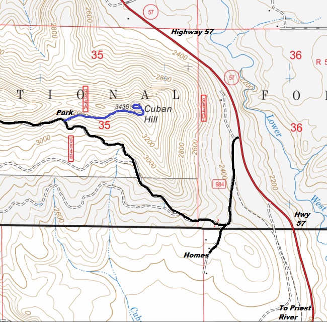
From US Highway 2 and Highway 57 in Priest River, go north on State Highway 57 for 5 miles to a left on Stone Johnny Road. Turn left and follow the gravel road about a half mile to a Y. Go right and follow the road up just over a mile to the old spur and parking spot. The final half mile road is becoming overgrown and easier walked than driven.
Lookout History
In 1922, a 12 x 12 cabin was built and wires for communication laid to the site.
In 1925, a cupola was added to the roof of the cabin.
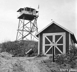
In 1935, a 30-foot pole tower with an L-4 cab was built.
In 1964, the lookout was destroyed.
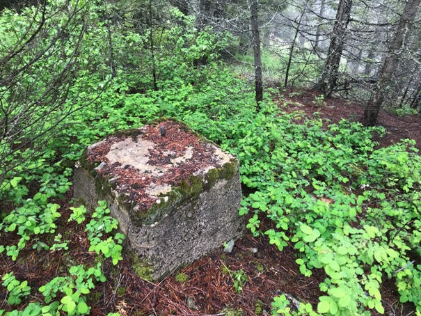
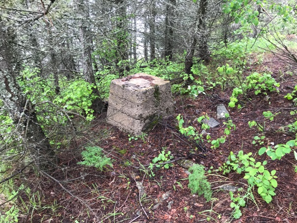
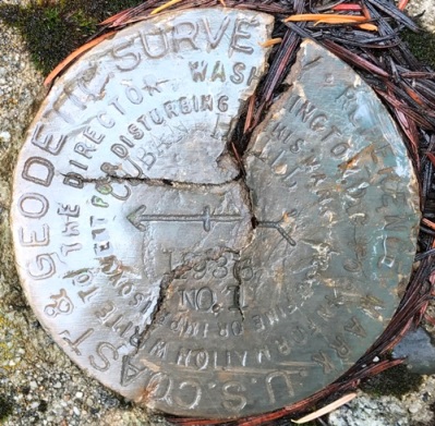
In 1967, a USGS team placed a benchmark at the highest point saying it was at the center of an old lookout tower, using the old footings as placements for reference markers.
WillhiteWeb.com
Cuban Hill Lookout Site
Access and Route
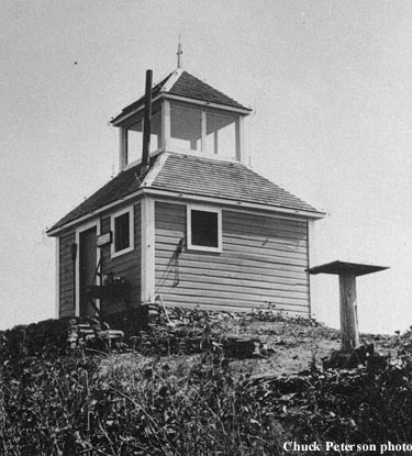

1924 or 1925
1943
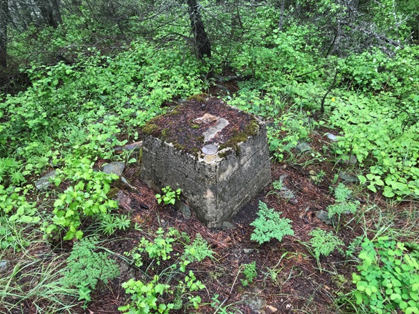
1936 directional benchmark
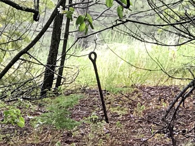
Eyebolt
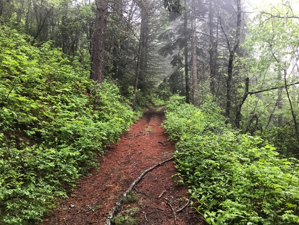
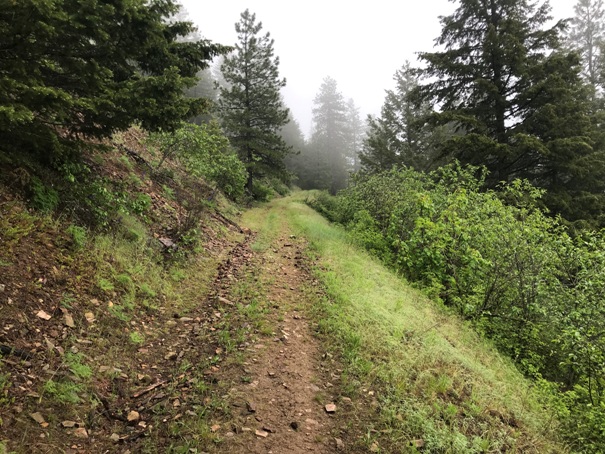
With a bit of work, the road to the summit could be driven.
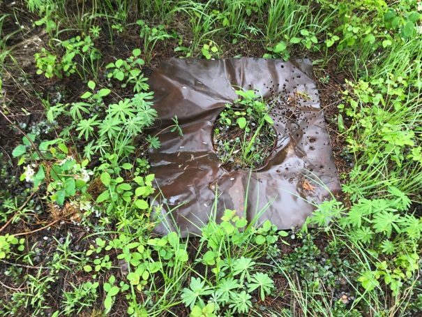
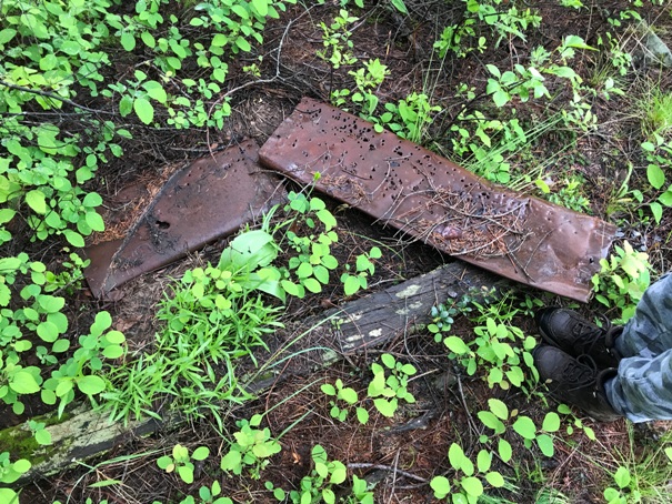
Stovepipe flashing
The stovepipe
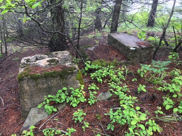
Footing and the first step up the tower
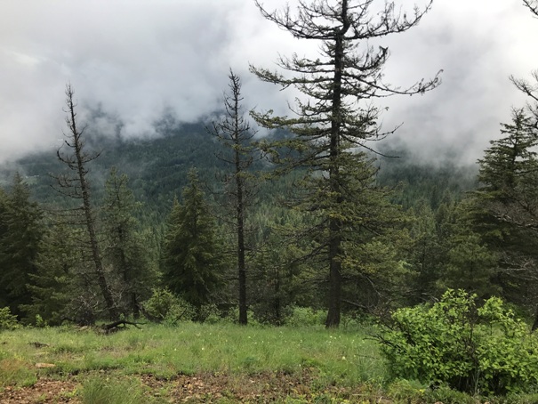
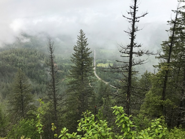
Views were starting to come out
Highway 57 below
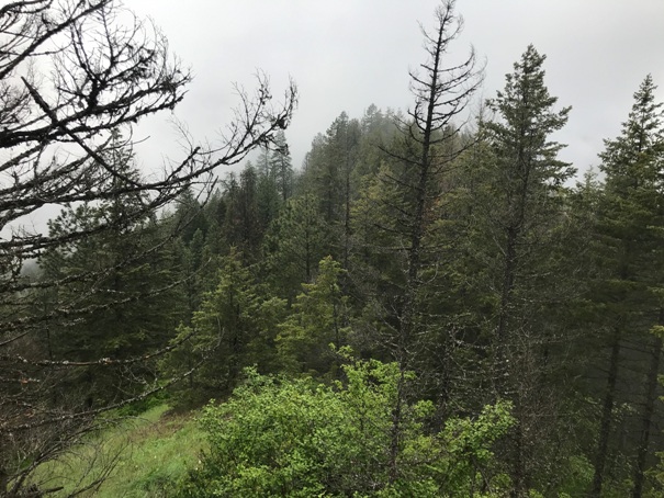
Looking West from the summit
Views were starting to come out
Old road up Cuban Hill
Old road up Cuban Hill
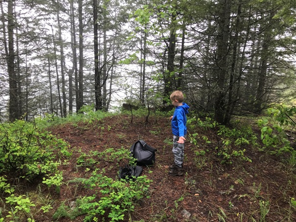
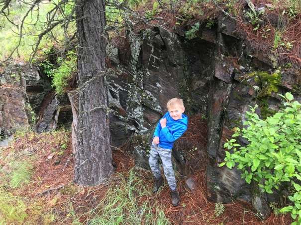
He wanted a picture next to these rocks on the way up
On the summit between the footings


