Elevation: 3,081 feet
Hiking Distance: 1/4 miles one-way
Elevation Gain: 200 feet
County: Bonner
Access: Fair dirt road/conditions could vary
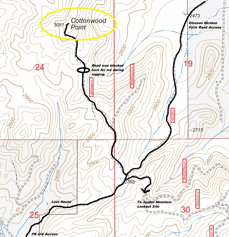
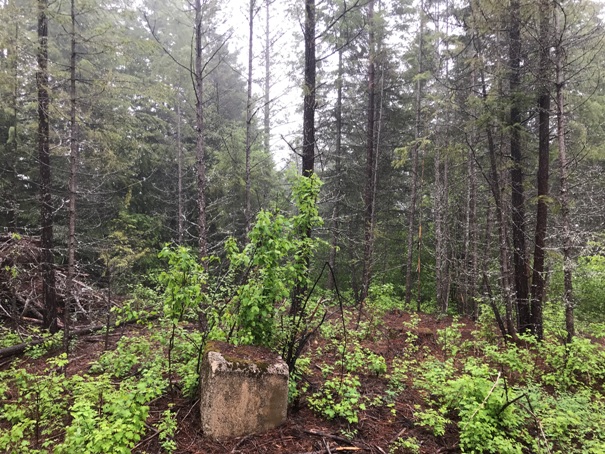
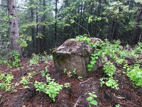
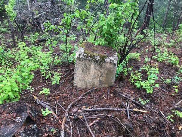
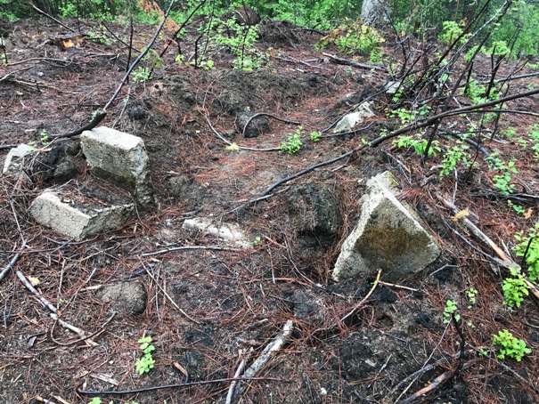
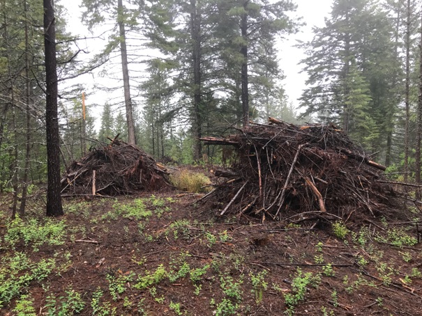
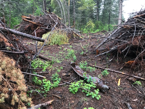
During my visit to this lookout site, logging was just finishing so conditions were changing. The road to the summit was blocked near the end and logging at the summit was moving some of the footings. Large slash piles to be burned are right at the top next to the footings.
Access and Route:
From Highway 57, you can approach via the south from NF-416 (when road is dry). From the north on the Gleason Mcabee Falls Road, to NF 334. Both get you to the saddle at 2768. From there, the spur to Cottonwood Point is a dirt road that could have changing conditions but generally should be ok for most vehicles….until it is not.
WillhiteWeb.com
Cottonwood Point
Lookout History:
In 1937, a 40-foot pole tower with L-4 cab was built.
In the 1940s, the lookout was abandoned.
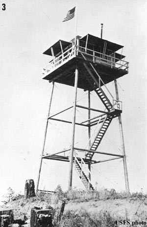
1938 Cottonwood Point
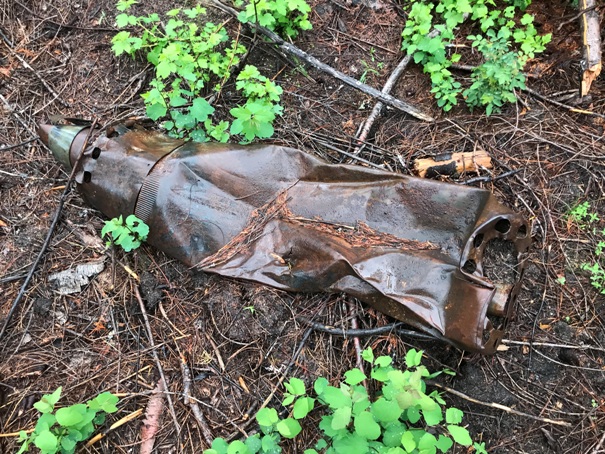
On the summit, the stovepipe just laying between three large slash piles
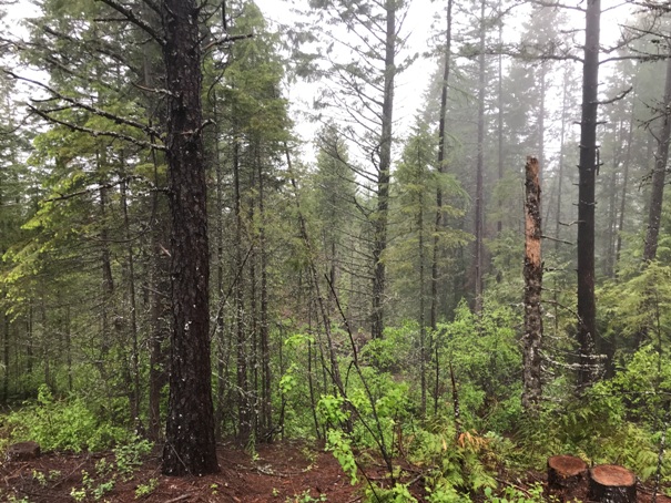
Summit area
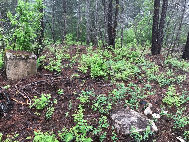
Footing and summit area
Near summit, lots of debres
Footings and summit area
No views at this summit
Foundation parts broken and crushed
Tower footings
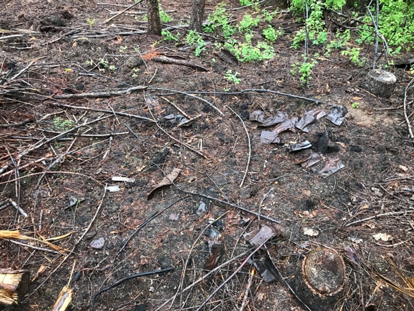
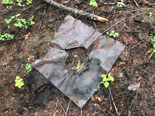
Stove flashing
Footing
The stovepipe


