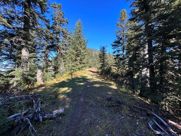
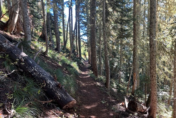
This trip is for those who love to hike on the PCT. There are no lakes, peaks or amazing viewpoints to be found, just miles of trail in forest with occasional road crossings and openings to spot distant peaks. Surprisingly, the hike feels rather secluded even though the trail is often paralleling above or below forest roads. Hiking out and back is a nice way to get some exercise for an iffy weather day, and you can mark this section of PCT trail off as completed.
WillhiteWeb.com
Pyramid Pass to Green Pass on PCT
Access:
From Greenwater on Hwy 410, go east about a mile to a major left turn on FR 70, the paved Greenwater River Road. Follow FR 70 for around 15 miles. The road will become gravel and get steep. Turn left onto FR 7080. Follow it up to Pyramid Pass where the PCT crosses and park.
Hiking Distance: 15 miles round trip
Access: Gravel road, some clearance best
Route:
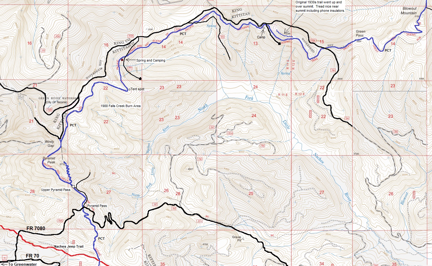
The trail does its best to stay level given the constraints of getting from one pass to the next pass. Most the hills are gradual climbs but nothing too strenuous the entire route. There are a few camping spots along the way and one year round spring at a major camp where the water springs right there below the trail.
Added Adventure in Route
Near the start is a sign for the Pyramid Peak Trail. This short but steep trail climbs up the peak where there was once a fire lookout. The summit is still holding some great views.
If you continue past the last road shown on the map, you can make your destination Blowout Mountain, the high summit in the area that the trail goes right up and over.
Peak 5298
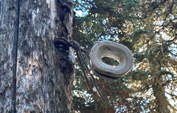
At the north end of this section is a small bump labeled 5298. The trail traverses around the side of this bump. But, the original trail, even before the PCT existed, went up and over the bump. Near the top, the trail still exists and phone line insulators are even on some of the trees for the phone line that ran through the area. The terrain is mostly open so it is not a bushwhack.



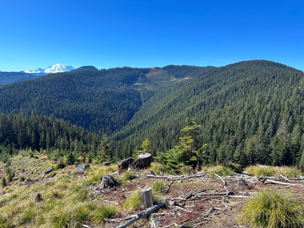
Just a short bit past the start is a fine view to Mt. Rainier
Pyramid Peak on left with Mount Rainier in the center above Windy Gap
The trail going through Windy Gap
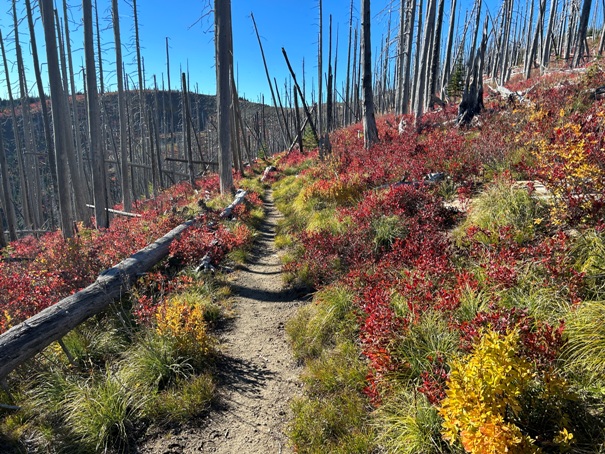
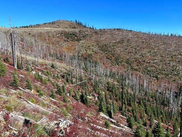
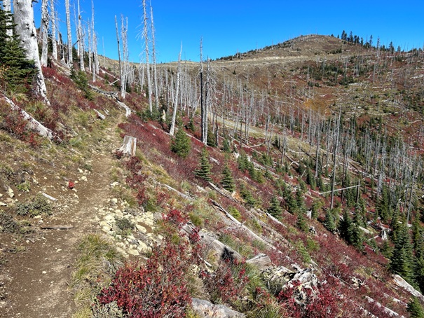
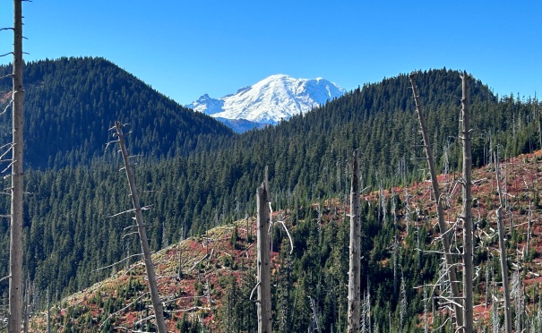
Falls Creek Burn area 35 years later still struggling to come back
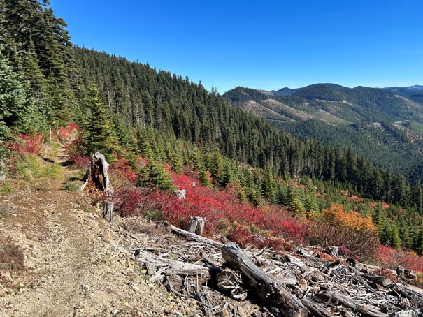
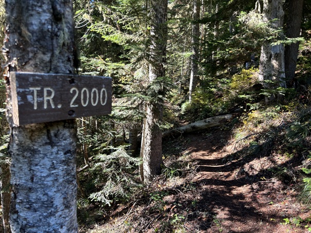
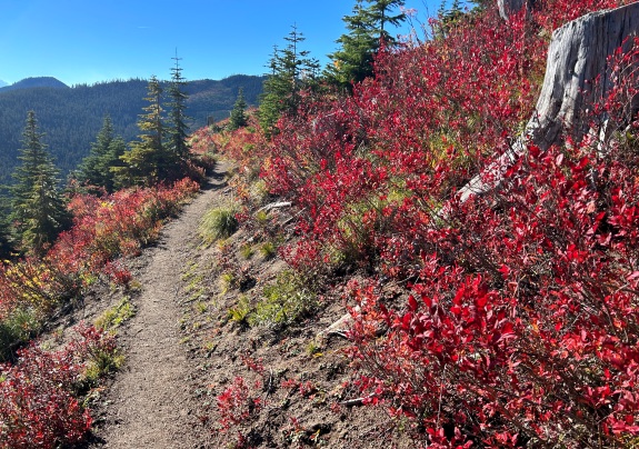
Trail 2000 aka the Pacific Crest Trail
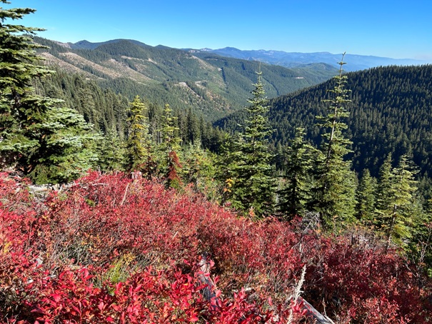
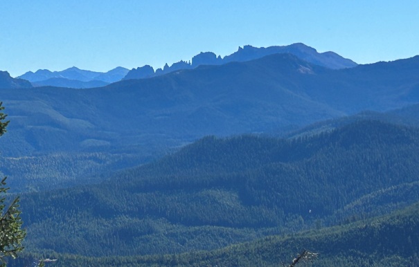
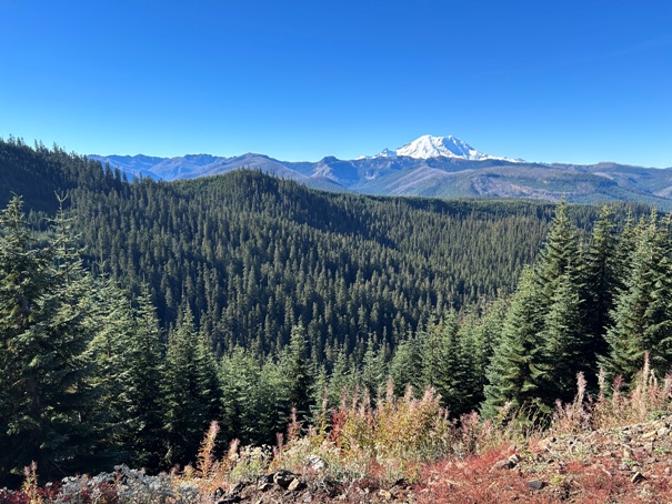
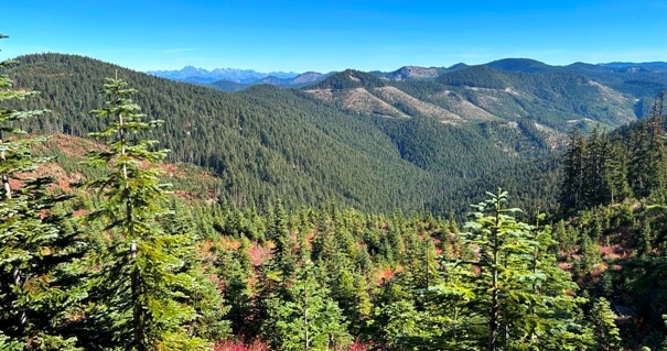
Lots of views to the east
Fifes Peaks
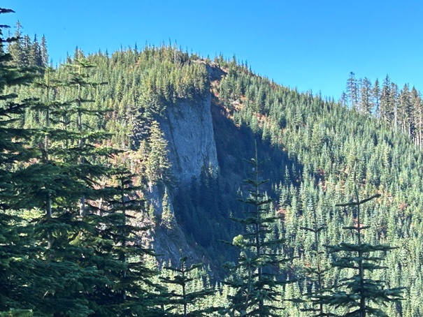
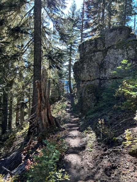
Loving this cliff face in the forest
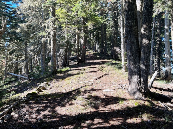
National Forest section about to enter a private forest section
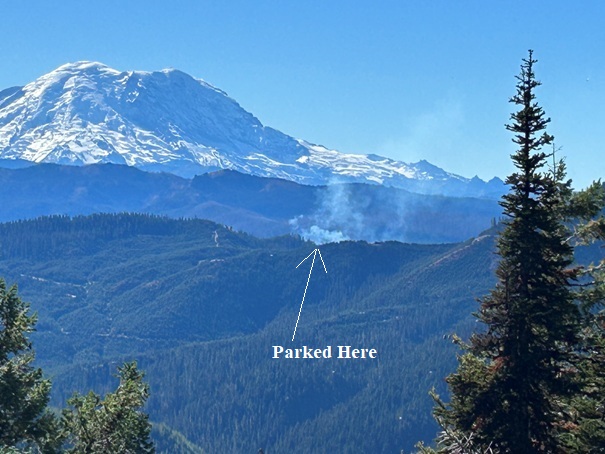
This got me a bit concerned looking back at where I parked. A fire had broken out at what appeared to be near where I parked. I contacted my friends in the DNR and they informed me that the Forest Service was doing a prescribed burn in the area. Sure enough, they showed up to work right after I had started hiking.
Phone Insulator on Peak 5298
Old trail up Peak 5298
Falls Creek Burn area


