Long ago, Pyramid Peak was probably a really fun backpacking destination, on the Cascade Crest, miles from anything. With the old Cascade Crest Trail traveling up and over the summit, visiting the lookout on top was probably exciting for backpackers. Today, the Pacific Crest Trail just skirts the side of the mountain and the lookout is gone. What remains are still some fine views and an easy peak to reach with minimal effort.
WillhiteWeb.com
Pyramid Peak (Greenwater Area)
Hiking Distance: 1 mile
Summit Elevation: 5,718 feet
Elevation Gain: 900 feet
Access: Gravel road passable by most vehicles
Access:
Route:
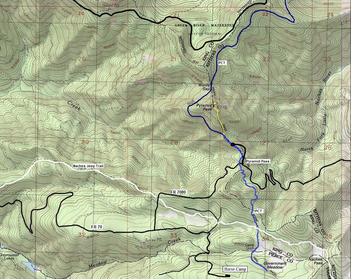
From Greenwater on Hwy 410, go east about a mile to a major left turn on FR 70, the paved Greenwater River Road. Follow FR 70 for around 15 miles. The road will become gravel and get steep. Turn left onto FR 7080. Follow it up to Pyramid Pass where the PCT crosses and park, or find a short spur road that will take you a bit closer.
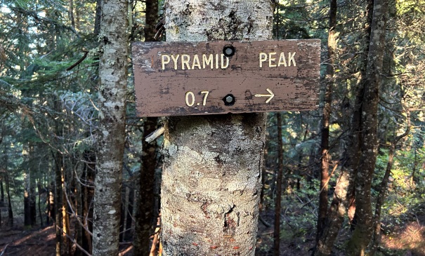
From the pass, hike a bit north on the PCT to the end of a spur road. Continue on the PCT a short distance to a signed trail split for Pyramid Peak. The 0.7 mile trail climbs steeply to the summit.


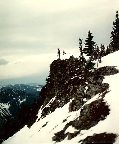
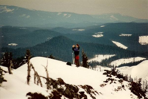
Images below from my first visit on April 7, 1993 (30 years before)
Images above from my visit on October 5, 2023

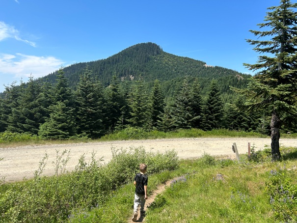
Pyramid Peak as you approach from the south, crossing FR 7080
Leave the PCT and go right up the Pyramid Peak Trail
Sign for Pyramid Peak on the PCT
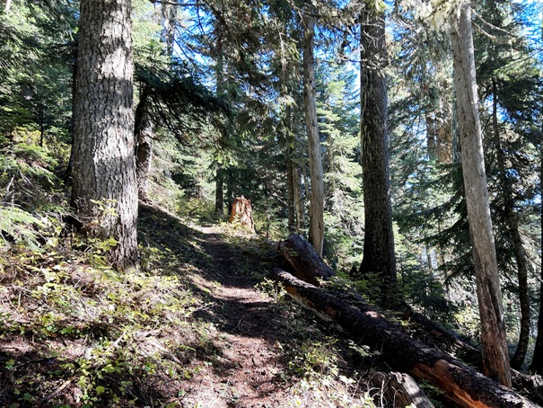
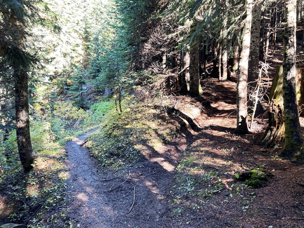
Trail up Pyramid Peak
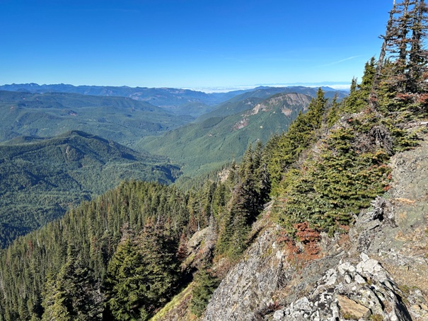
Views West down the Greenwater River drainage
View South to the Norse Peak Wilderness
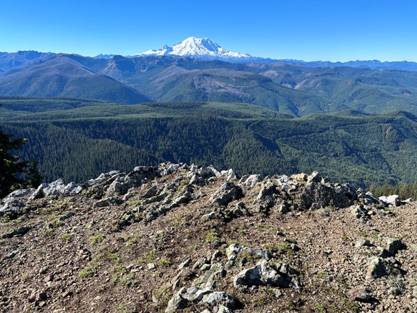
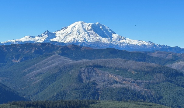
Mount Rainier view
My brother taking a picture
Near the summit
North view
North to the Alpine Lakes Wilderness


