Yocum Lake Lookout Site
In 1935, a 40-foot pole tower with a L-4 cab was constructed. The lookout was abandoned in the 1940s.
Elevation: 3,284 feet
Hiking Distance: Drive up or mile walk
Elevation Gain: Drive up
Prominence: 244 feet
Access: High clearance 4WD or walk
County: Pend Oreille
WillhiteWeb.com
Yokum Lake Lookout on the 1957 Metsker map (not on the 1941 Metsker map)
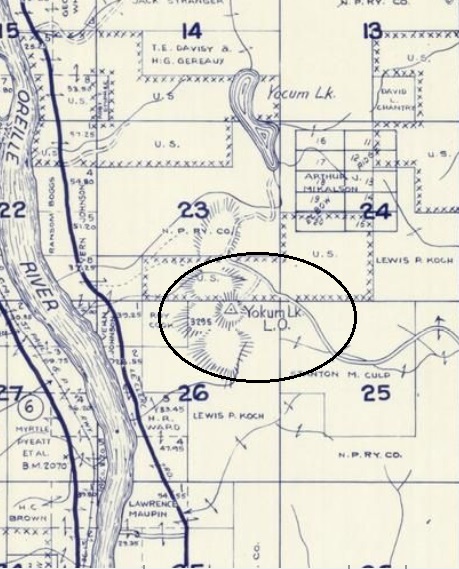
Lookout History
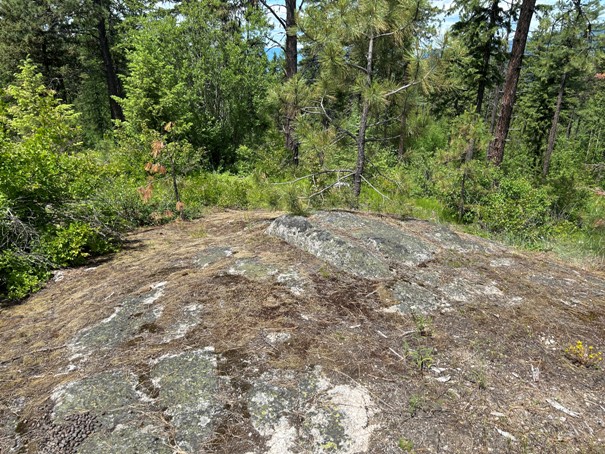
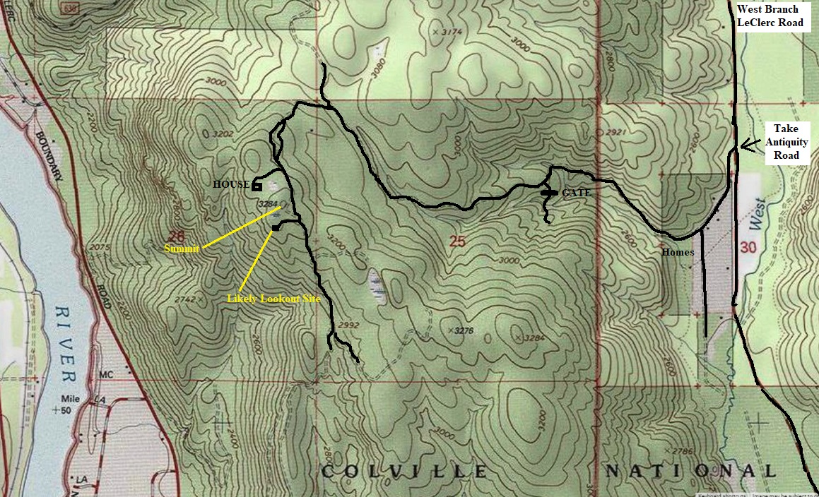
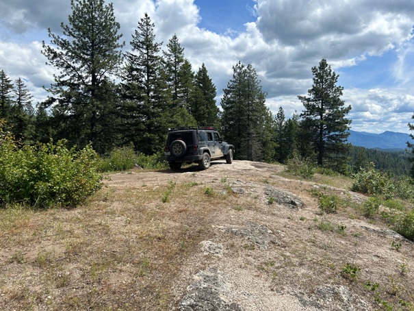
From the West Branch LeClerc Creek Road, take Antiquity Road into a small community. The main road will branch south going very straight. Continue on the road what looks a bit like a driveway but is a forest road. Once past the community of houses, the road starts to get rough in places. The further you go, the worse it gets so park if it gets too rough for your vehicle. Use map provided but you can drive road to the lookout site. The highpoint is kind of hiding, on a knoll just before the lookout site. There was no evidence of the lookout at the site but it definitely hints as the correct location.
Route and Site Information:
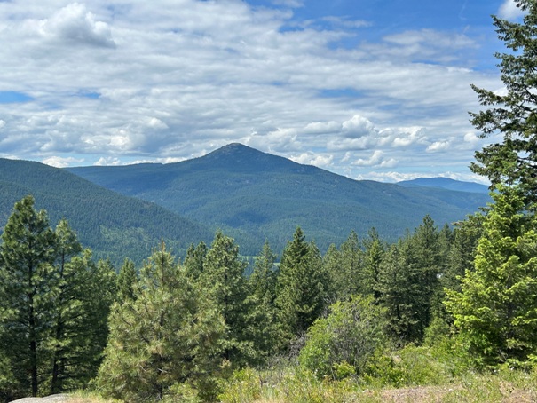
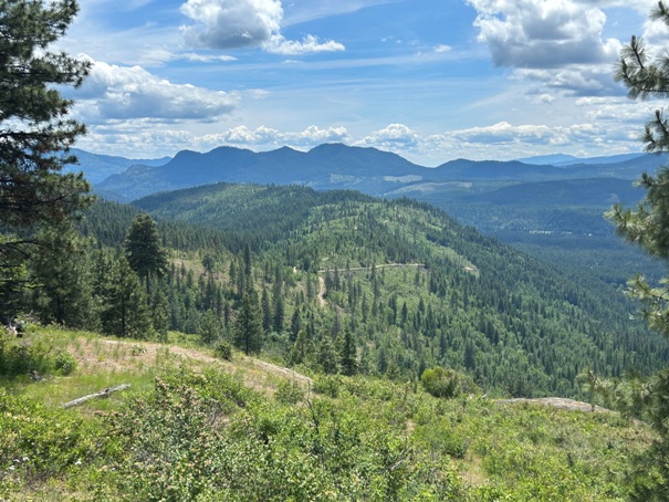

Looking South to Ruby Mountain
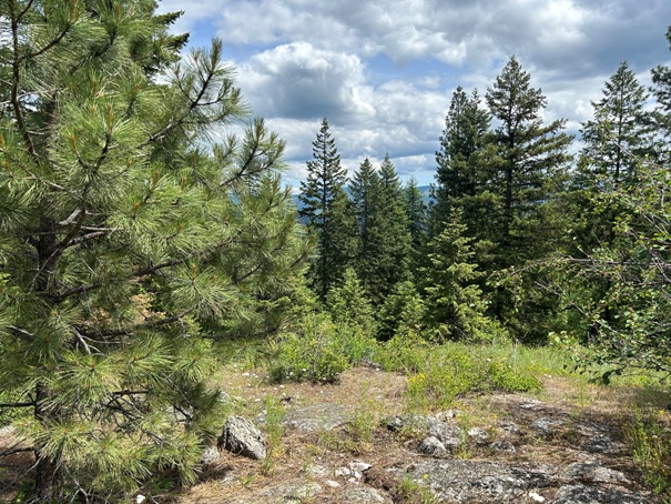
Looking Southwest to Kalispell Peak and Timber Mountain
At the likely lookout location
Granite Peak
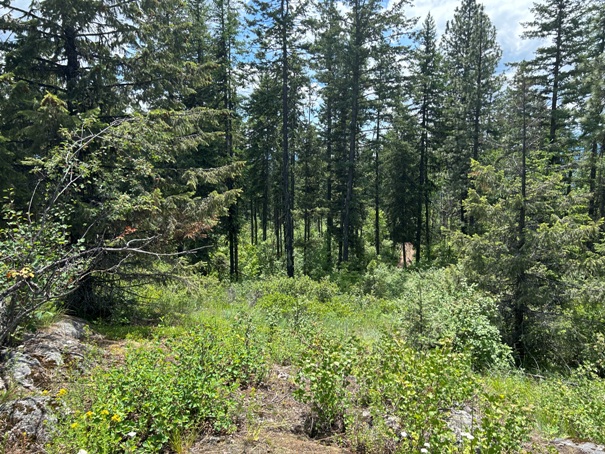
Views at the true highpoint
Views at the true highpoint
Rock at the true highpoint
Antiquity Road
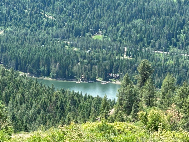
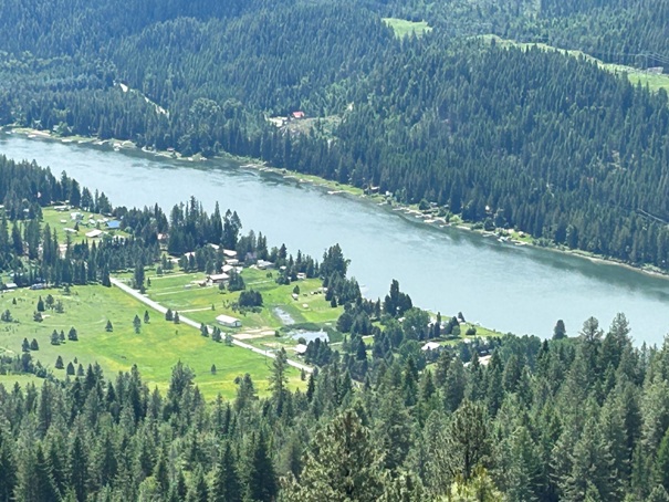
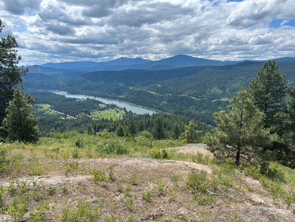
Looking down at the Pend Oreille River
Looking down at the Pend Oreille River


