Windy Knoll Lookout Camp
WillhiteWeb.com
It is hard to believe we know so little about this lookout camp inside Mt. Rainier National Park. Windy Knoll is in the inventory as a camp but we have no evidence of its location. The inventory says “7 miles north of Mt. Rainer. NPS. 1934: camp. Abandoned 1940s.” Seven miles north of Rainier is Windy Gap, so this has been the search area, especially since Windy Knoll – Windy Gap go together.
The only concrete hint to work with is the elevation given in the inventory. Wherever Kresek got the information about Windy Knoll hopefully it came with the elevation he recorded as 6,703 feet.
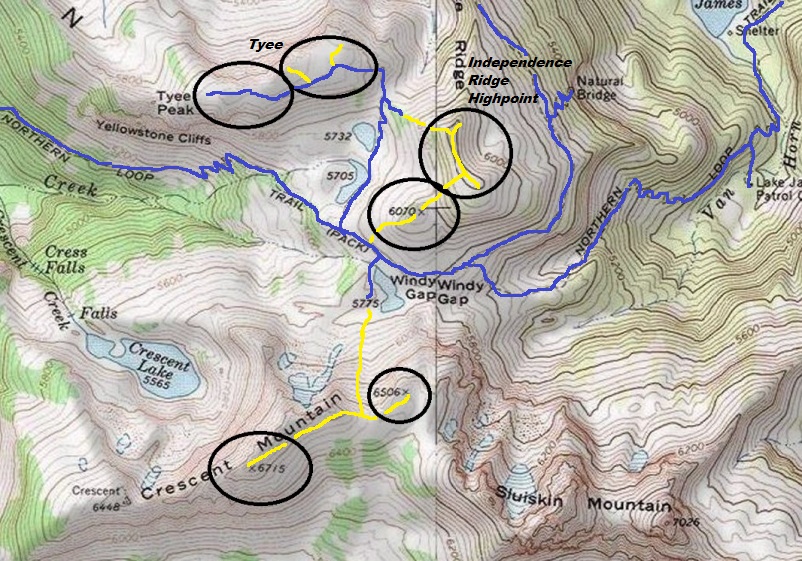
Studying maps from the 1930s, there is indeed a location near Windy Gap that shows 6,703 feet. It is up on Crescent Mountain, where todays maps show point 6715, due north of the Elysian Fields. A visit in 2020 showed no un-natural stacking of the talus that exists up there, nor any garbage or camp remnants. I searched several other areas in the Windy Pass area. The trail to Tyee Peak is promising and the trail ends in a perfect location for a lookout point. Again, no evidence found. If you know anything, please contact me.
Elevation: 6,715 (best guess)
Hiking Distance: 12.5 or so to Windy Gap
Elevation Gain: 5,000 feet to Crescent Mountain
County: Pierce
Access: Paved Road
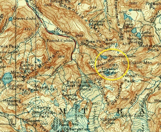
USGS 1928 map, 1931 update. Shows elevation 6703.
West Access:
Park at the Carbon River Entrance to Mt. Rainier National Park.
West Route:
Hike or bike the Carbon River Road 5 miles to Ipsut Campground. Now take the hiking trail 0.3 miles to the Wonderland Trail junction. Follow the Wonderland Trail 1.7 miles to a log bridge crossing over the Carbon River. Cross and continue over the riverbanks to the Northern Loop trail junction. At a junction take the left fork which drops back down a short distance. Then begins a series of steep switchbacks, climbing 3,000 feet, mostly in cool forest. Pass the Yellowstone Cliffs and eventually meadows reaching Windy Gap, at an elevation of 5,600 feet. A good day could be spent here exploring and taking pictures. Several unofficial trails go to amazing highpoints, lakes and arches.
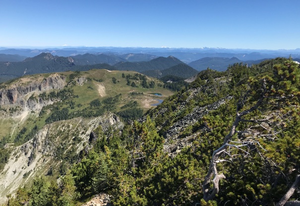
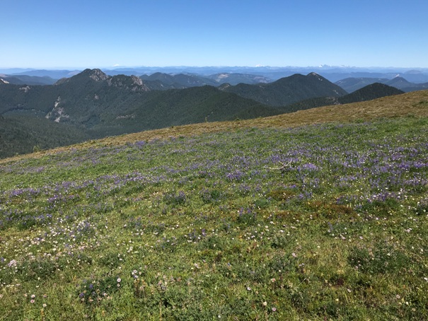
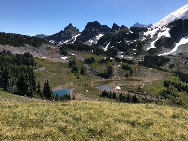
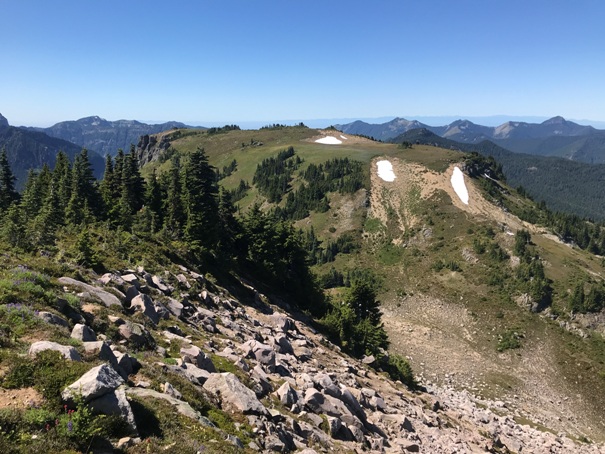
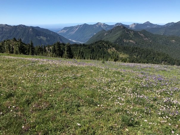
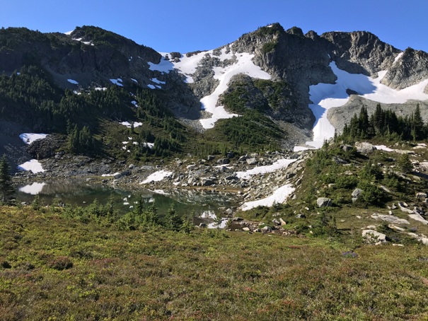
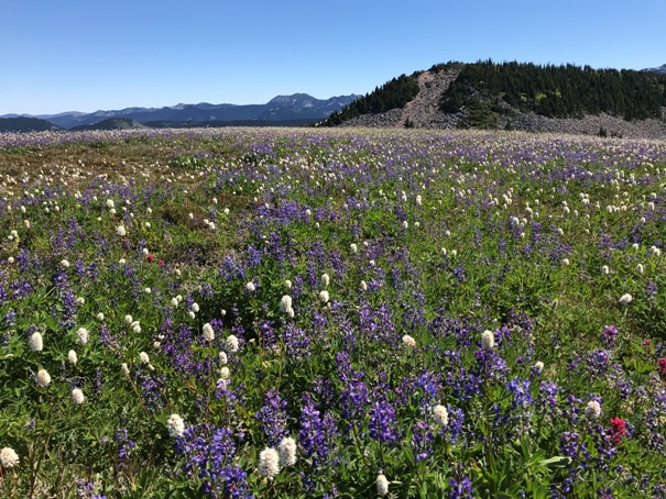
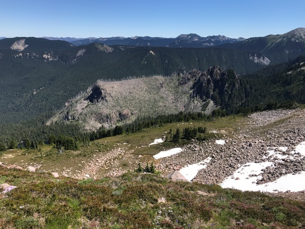
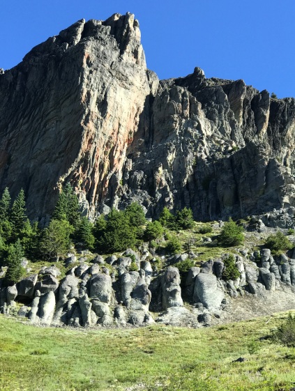
This is Crescent Mountain from Windy Pass. I just scrambled up to the pass in the center.
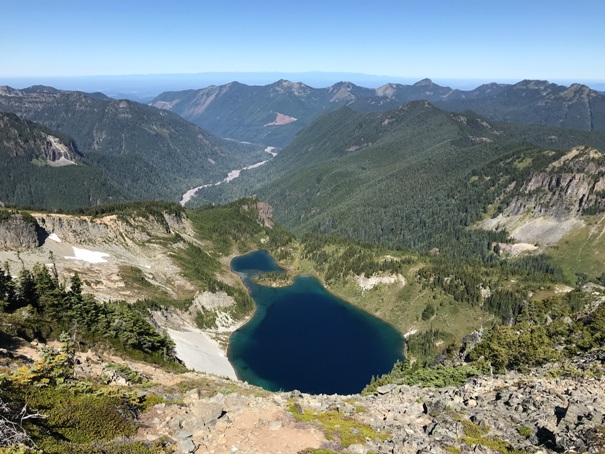
Crescent Lake and the Carbon River Valley from the summit of Crescent Mountain.
Looking north from Crescent Mountain to Tyee Peak and beyond.
Near point 6506
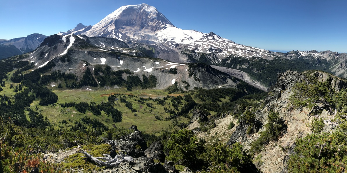
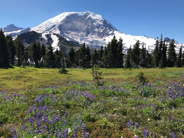
Mt. Rainier from Crescent Mountain with the Elysian Fields below and Old Desolate.
Looking north from the Tyee Peak area
Sluiskin Mountain from Tyee Peak ridge
Tyee Peak from the Independence Ridge Highpoint
Looking west from the Tyee Peak area
Independence Ridge Highpoint from Tyee Peak trail
A burned Redstone Peak from the Independence Ridge Highpoint
Yellowstone Cliffs
Trails in blue, yellow was off trail, black circles are areas searched.


