West Church Mountain Patrol Point
WillhiteWeb.com
Kresek has this site as a patrol lookout 1 mile west of the main Church Mountain site. The Spring/Fish book has this site as a telephone nailed to a tree with no building. This would be a difficult patrol location as there is some rough terrain between the main building site and the West Church site. But, I have been told there seems to be some kind of trail between the two in places.
On the 1913 National Forest map, and later maps, a separate trail climbs up to West Church from the valley bottom near Glacier. I would guess West Church was a patrol point long before the lookout building was built on the East point.
Lookout Elevation: 5,610 feet
Hiking Distance: Under one mile
Elevation Gain: 1,600 feet (for both summits)
County: Whatcom
Prominence 570 feet
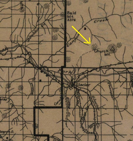
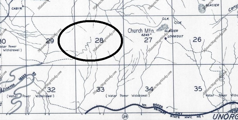
Trail shown on 1913 map in the area
A trail shown on maps, maybe old mining trail or the patrol point trail
Access:
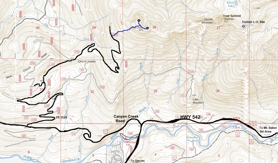
Shortly after the town of Glacier, highway 542 crosses the Nooksack River. Just after, take a left on paved Canyon Creek Road (FR 31) for around 2.4 miles, then a right on gravel FR 3120. Follow this up to Church Saddle, then continue up the road further to 4,000 feet or so. The road near the end gets rutted and has large water bars. I would guess most people could get to Church Saddle but after that, conditions could get bad. Leave the road on its final leg to start hiking. There are spots to park at the final switchback curve, midway and at the end of the road.
Route:
I show on the map below where I went. The lower forest was an extremely good second growth forest with no brush. Once in the old growth, it was still brush free, just lots of downed trees to work around. The hillside is steep. Halfway up, steep meadows cover much of the route. The going is easy but very steep to the saddle between the 2 West Church summits. Both are easy scrambles from the saddle between them. I could not tell which summit was higher. There is a benchmark on one but it is a reference directional benchmark related to the true summit (I think).
Benchmarks:
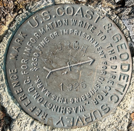
The benchmarks are a bit confusing on Church Mountain. The original benchmark station was lost, including written records. It was reestablished in 1925. Surveyors seem to be calling the true summit the highest point on the west end of Church Mountain. Later, also saying the summit was just a short distance south of the lookout house.
When they do describe West Church, the location description is correct but the disk currently there is not stamped West Church, but just Church with an arrow pointing to the true summit, where it should. The West Church Benchmark is described correctly as about 3 miles NNW of Glacier, about 1.75 miles west of Church, on the second grassy top east of the end of ridge.
West Church Mountain North Peak
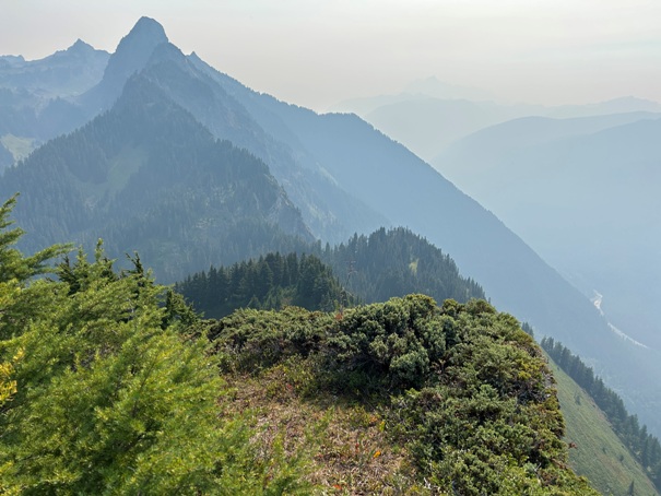
Church Mountain dropping into the Nooksack Valley
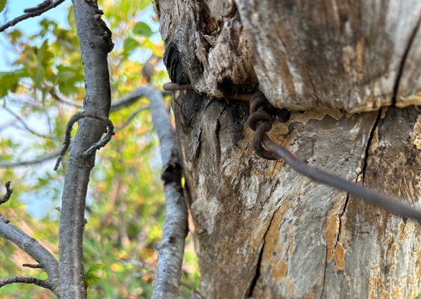
Wire in a old tree on the summit of West Church
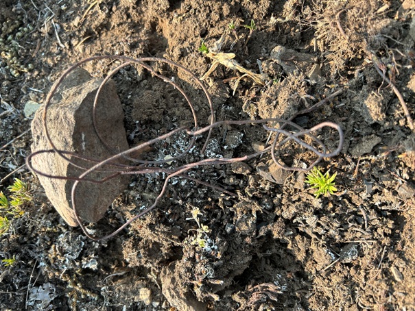
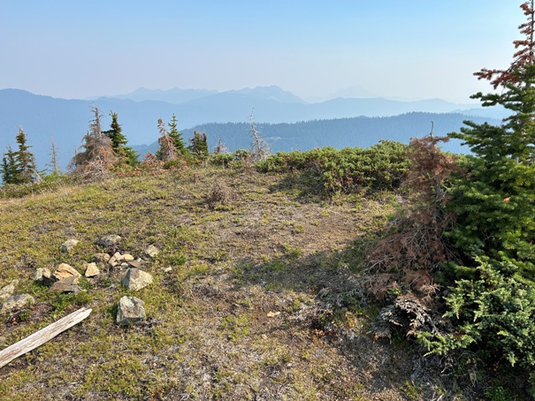
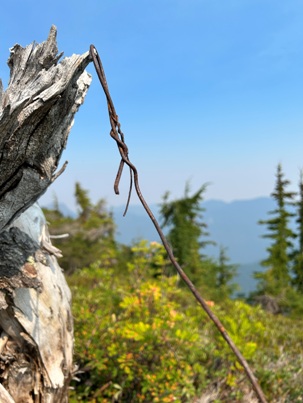
Wire in a fire pit on the summit of West Church south
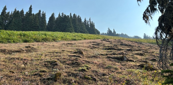
Steep meadows on way up
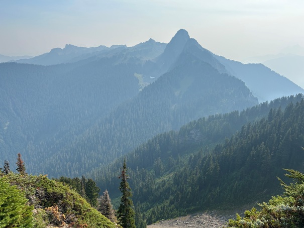
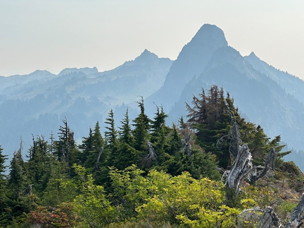
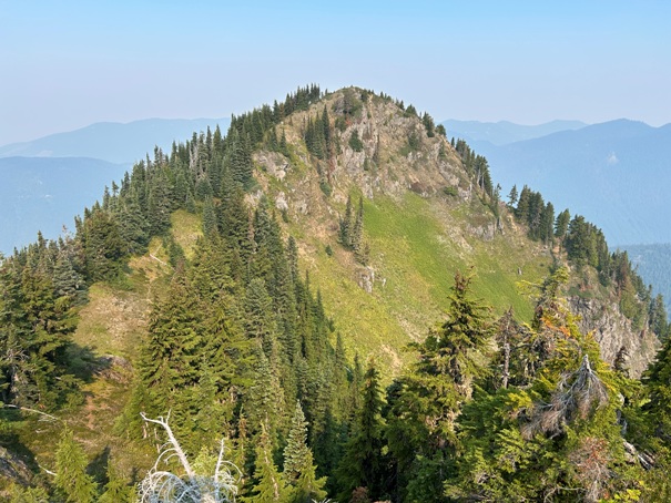
Church Mountain from West Church North
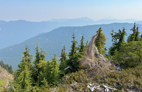
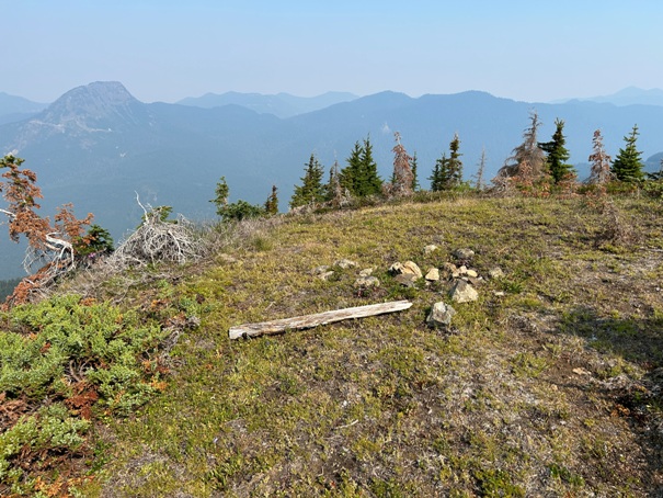
West Church North Peak looking North
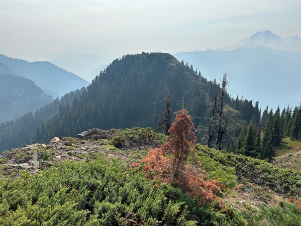
West Church South Peak from North Peak
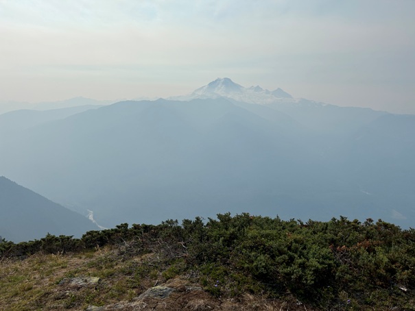
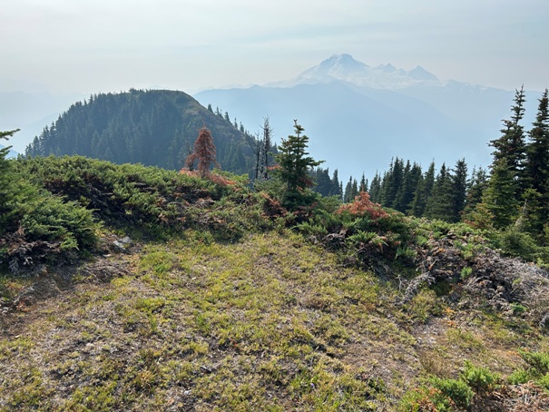
West Church South Peak and Baker from North Peak
Mount Baker
Smoke from Sourdough Fire during visit in 2023
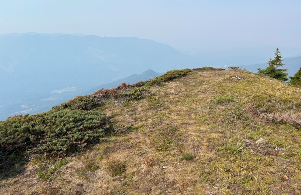
Looking North
West Church South Peak looking West
West Church North Peak
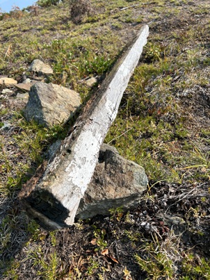
Wood post on West Church North
Wire on West Church South
Directional Benchmark on West Church South.


