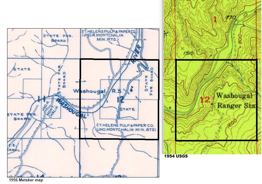
Washougal Guard Station
WillhiteWeb.com
Lookout Elevation: 1,200 feet
Hiking Distance: Half mile from Campsite 9
Elevation Gain: Under 800 feet
Access: Good Gravel Road
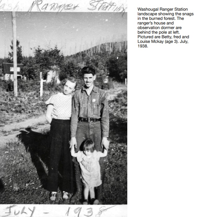
This guard station in the 1930s was equipped with a cupola used for spotting fire. Although the lookout was at a low elevation, it was on a bench that had good views from the station expanding up and down the valley. The article reports that there was a telescope and other instruments in the cupola to help the lookout person report any fires. The station also had a telephone, possibly to report fires, but definitely for the forest guard to go after reported fires. In later years, the Guard Station became known as a Ranger Station, similar to so many others. Around 1928, the State Forestry Department reported that an old railroad grade was cleared and graded and converted into a good auto road, allowing patrol of twelve miles extending from Cape Horn to the Washougal Ranger Station. It continued saying that this greatly facilitates the patrol and protection of the old Washougal burn, instead of covering this area on foot patrol. In 1938, the ranger was Fred Mckay, who had his wife Betty and daughter Louise with him at the station that summer.
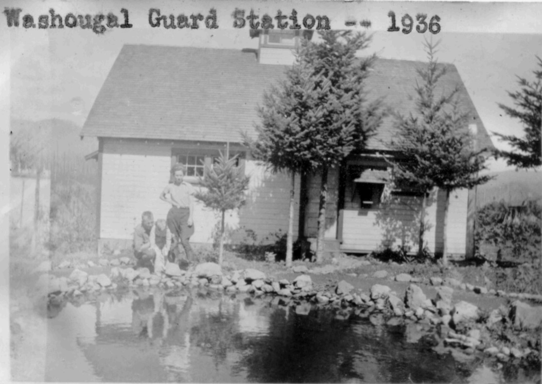
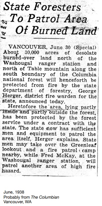
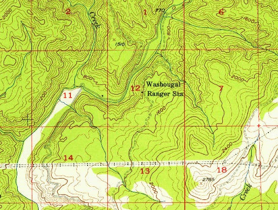
1954 USGS
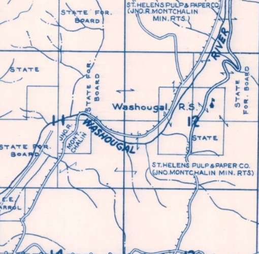
1956 Metsker map
2 photos from the Fred McKay Collection
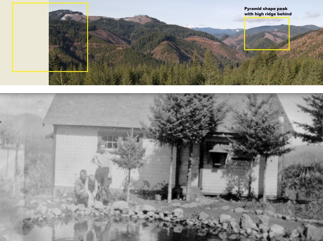
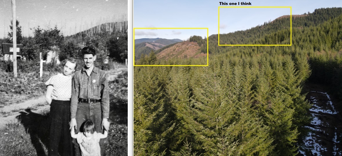
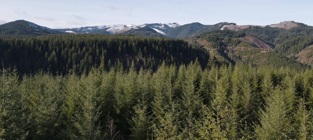
Trying to match the mountains behind the house (see below) with this image to the north (drone shot 50 feet above ground level)
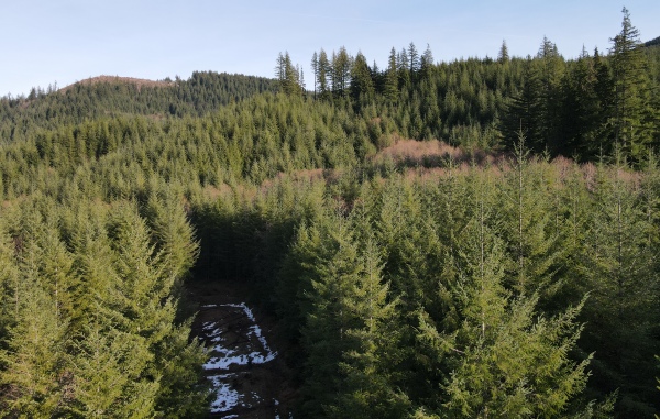
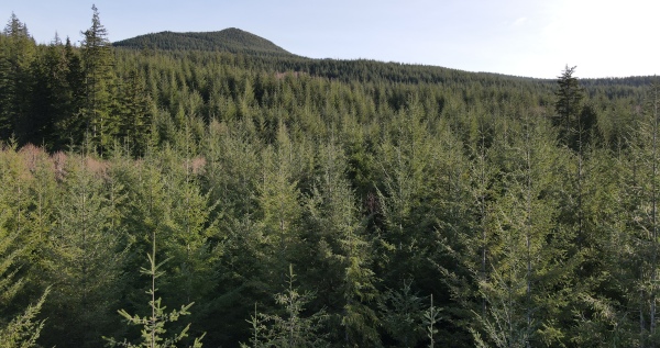
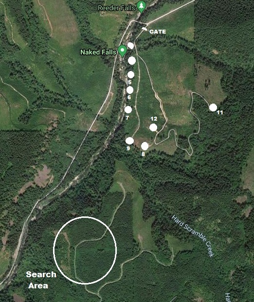
Where we walked
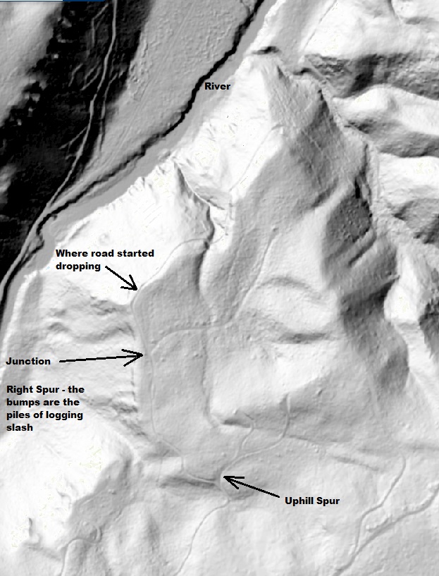
Naked Falls private campground, site 9 is on old road that connects to search area.
LIDAR Map
Campsite #9
Comparison trying to match the mountains behind the family with this image of the ridge to the northeast (drone shot 50 feet above ground level)
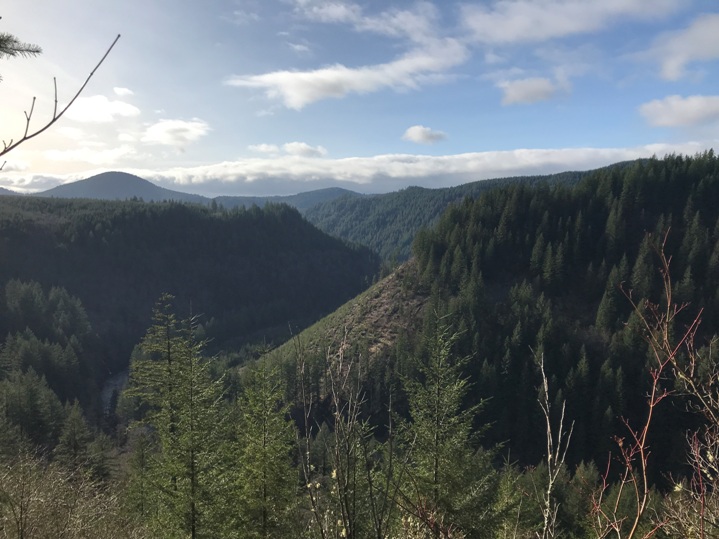
Looking down the Washougal River Valley from ground level at the edge of the bluff just off the old road.
Looking NW into the Yacolt State Forest
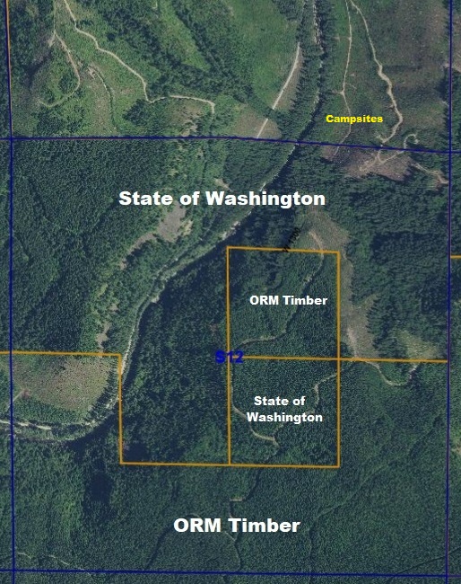
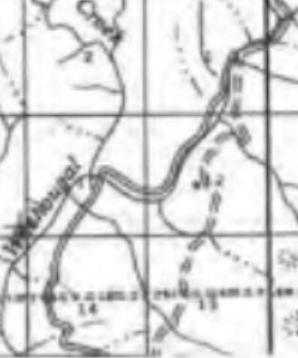
From a mining map published in 1977, showing it on left side of the road in section 12
This is a surprisingly hard area to access due to abandoned roads and landowner gates. The roads that come from the south have gates that are sometimes open and sometimes closed. Accessing the area from the north requires a Naked Falls Parking Permit just to park at the gate on the side of the roadway along Washougal River Road (or a Discover Pass further down the roadway). The campground road is signed No Trespassing. Hiking this northern route will require some bushwhacking but is closer. All the roads near the lookout site are full of alder and stickers.
Access:
We found nothing, not even a flat disturbed area that looked like it could have been the spot. We have plans to go back, camp at the campground, and go check a few more locations.
Our 2022 visit:
Nearby Waterfalls and the Private Campground
In 2017, the swimming hole on the Washougal River was purchased from Weyerhaeuser. The river had been permanently closed to the public and anyone parking at Naked Falls would be fined a $200 ticket. Weyerhaeuser just didn't want the liability. Vancouverite Steven Epling grew up visiting the falls, so he sold his three rental properties, most of his assets and took out a small loan to put up an offer on the 131 acres around the falls. Epling had no experience with natural area management but over the last few years has added parking fees and added a campground. Epling says he recognizes the possibility of liability at a waterfall known for cliff-jumping, but he is hoping for the best. He feels it is more dangerous when no one is allowed to be there. So although there is a fee to enjoy the falls and area, at least it is no longer closed to the public. Also note that nearby Dougan Falls and picnic area is DNR land and requires the Discover Pass.
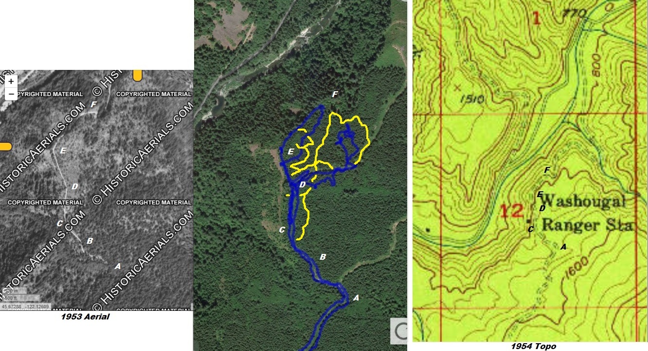
These 3 images are for a comparison with the letters on each at the same locations on the different maps.
The USGS map places the Ranger Station structure (black square) a few contours down the hillside. Based on the images we have of the house, a visit to the location and logic, the mark on the map is incorrect. The metsker map places the structure in the flats but since Metsker is a more generic, often hand drawn map, it is hard to tell exactly where.
Secton 12 comparison between USGS and Metsker
If you have the location on an old map not shown here or have other information or pictures, please contact me.


