
WillhiteWeb.com
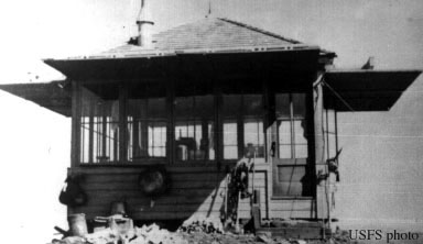
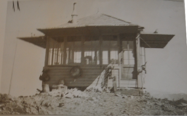
In 1940 an L-4 cab was built.
In 1942, the AWS used the location to spot enemy aircraft during the spring and summer.
Activated: March 29, 1942; Deactivated: September 19, 1942. AWS used the War Creek Guard Station in the winter down in the valley bottom.
In the 1950ís, the cab was abandoned.
Lookout Elevation: 6,080 feet
Hiking Distance: 2.5 miles
Elevation Gain: 3,200 feet
Access: Good for all vehicles
County: Okanogan
War Creek Ridge Lookout Site
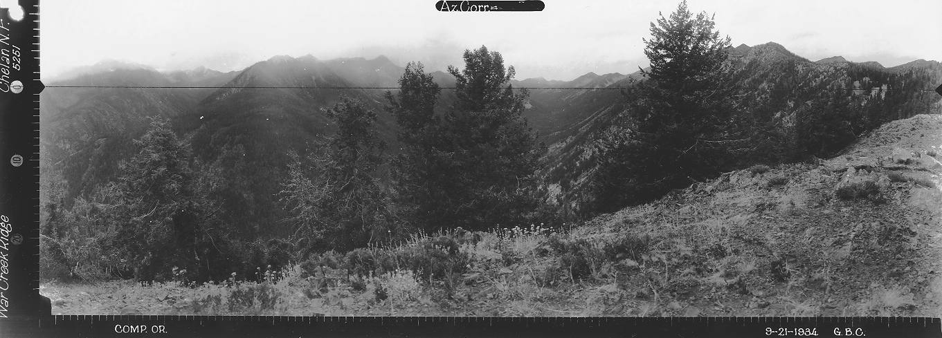
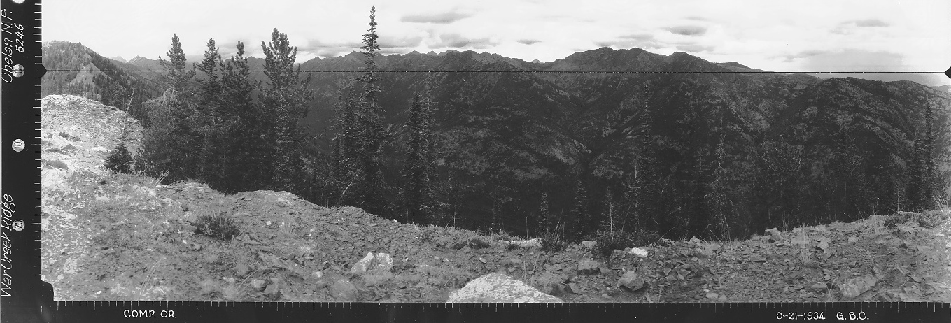
Looking North 1934
Looking Southeast 1934
Looking Southwest 1934
AWS observers in 1942


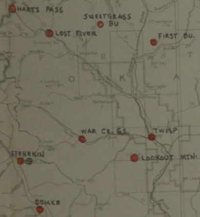
AWS Map showing the Guard Station location
War Creek Ridge Lookout
War Creek Ridge Lookout
War Creek in Chelan National Forest on National Forest Land, an existing station, winterized, to retain for the Forest Service. Practically no AWS investment.
Access:
The old War Creek Ridge trail is disappearing fast although the tread can be found in places on the ridge. Where the ridge trail starts off the War Creek Trail is impossible to find. But about 200 feet up, the old trail has tread, albeit covered in new brush that grew quickly after the Crescent Mountain Fire in 2018. The first half mile goes steeply up a burned forest but the burn stayed low. Well over half the trees survived and provide shade during the steep climb. To find the trail (if you choose to even use it), the best way is to start hiking up the War Creek Ridge trail about 1 minute, then go off trail up the hillside paying close attention trying to notice when you cross the Ridge Trail. If you hit cliffs, you missed the trail, so just go to your right to avoid the cliffs. This steep hill had only knee deep brush in 2020 but it will get worse until the next ground fire clears it again. Eventually, gain the main ridge and find much easier hiking. In 2020, the burned-out ridge made for easy walking. The brush had been burned and there were very few fallen trees to climb over. Phone line and insulators can be found the entire route along the ridge up.
Route:
From Twisp, drive west on Twisp River Road to War Creek Campground. Just past the campground, a road (FR 4430) goes left and crosses the Twisp River. Next, curve right avoiding a few left turns. A half mile after crossing the Twisp River, a sign pointing left says War Creek Trailhead 2 miles. A seasonal gate is here. From the gate to the trailhead is actually only 1.2 miles. (Gate was closed in June 2020, probably because of Covid).
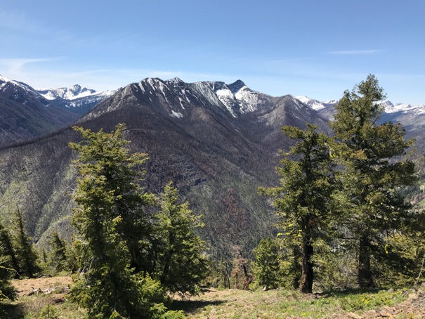
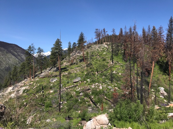




Climbing the ridge
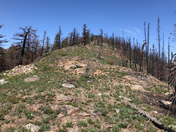
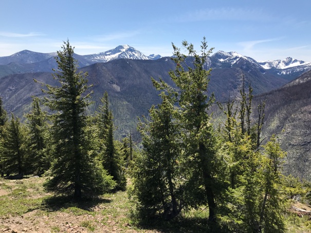
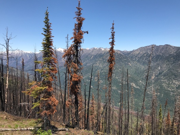
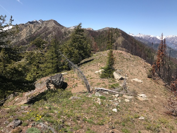
Climbing the ridge
Black Ridge from the lookout site
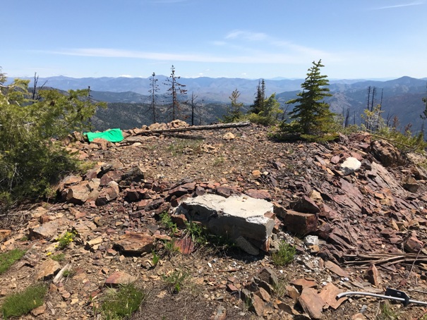
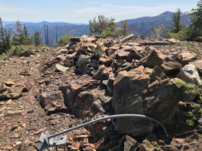
Lookout site with one footing with a rock-concrete mix
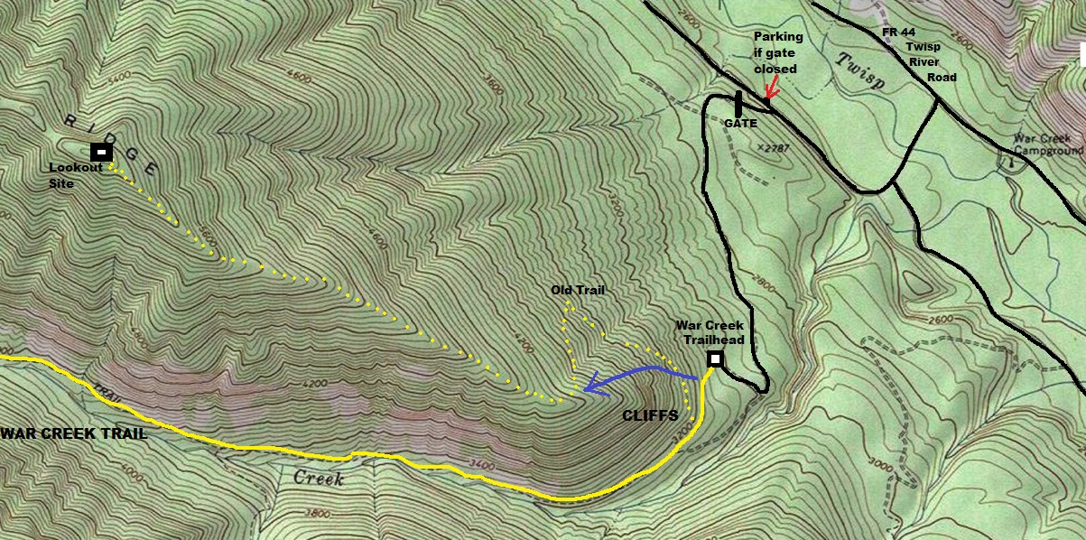
The yellow dots are the approximate old trail route. I followed the blue arrow down low although I did follow the yellow dot trail for some distance down below the cliffs to see where it merged into the War Creek Trail. It disappears 200 feet before the junction.
Location of War Creek station
Summer station only. It would be very hard to access in the winter.
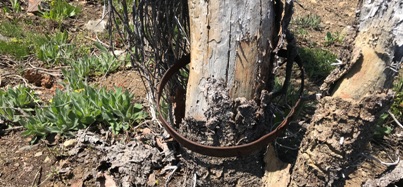
This tree grew in this metal ring, now the ring is stuck.
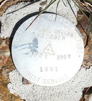
1991 Forest Service boundary benchmark
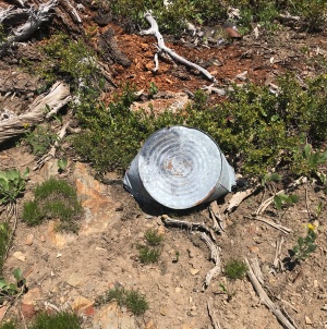
This water can was exactly where the horse in the left picture is drinking out of it.
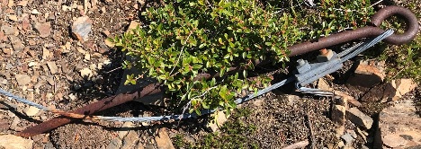
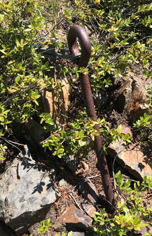
Anchor
Dugout area below the summit seemed a bit too large for an outhouse.
Corner anchor
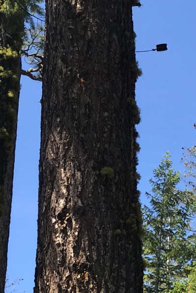
One of many insulators along the ridge
Wildflowers near the start of the trail
Oval Peak to the south
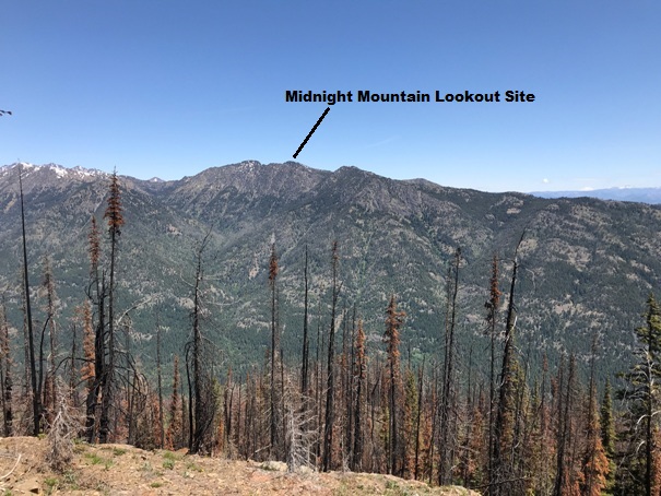
Midnight Mountain to the north
Looking West, you could continue along the ridge for many miles
Upper Twisp River Valley
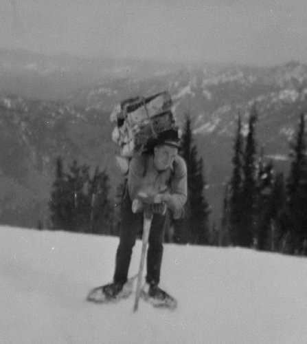
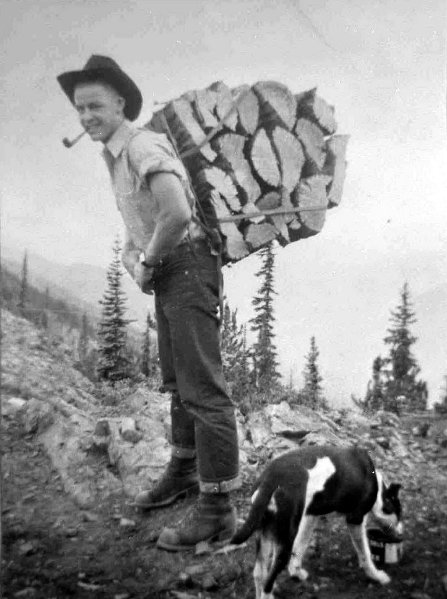
Cliff Libby taking wood to the War Creek Ridge Lookout
Cliff Libby taking wood to the War Creek Ridge Lookout


