Vesta Lookout Site
WillhiteWeb.com
The Vesta Lookout site has never officially been found but we are close. Several groups over the years like the Tuesday Trotters and The Olympians have searched extensively for it but no artifacts have been found to confirm the location. Based on the nearby LEM Lookout which still has footings, hopefully something can be found for Vesta.
In December of 2020, I spend several hours searching around 10 bumps around Section 4 but found nothing (see my map). It is possible the footings are just gone. Several locations seemed possible, but nothing found. Section 4 is where 2 different maps shows the location, and a 1940 road map seems to match that general area as well. More to come if a better location can be identified. On the topo map I made, locations G and H best match to the maps. Both G and H have been used for logging landings since the 1940s, so typically these type of scenarios cause the footings to be either buried or shoved well out of the way. Eventually, I will visit the Weyerhaeuser Company Records, located in the University of Washington Libraries, Special Collections. There are numerous maps there that include 68 oversize map folders, and 24 rolled maps. Hopefully something helpful will be found among those.
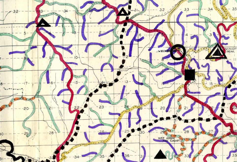
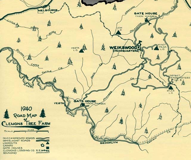
We have 4 maps for the Clemons Tree Farm. One does not show Vesta, the second shows Vesta but no roads in the region, and the third and fourth puts Vesta into section 4, just south of the township line on the East side of the road.
Lookout Elevation: Around 800 feet
Hiking Distance: 7 miles biking (non-motorized permit)
Access: Weyerhaeuser Aberdeen Permit Required
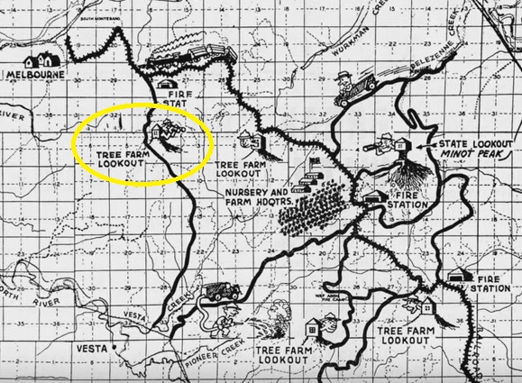
Cartoon tree farm map that shows Vesta in Section 4. But, the L.E.M. lookout is not in the correct section so there is no guarantee that Vesta is in the correct spot.
The yellow 1940 Clemons Tree Farm map shows Vesta Lookout but no roads. The creeks are somewhat helpful to get into correct area.
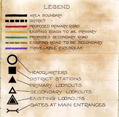
This map was found after I visited and is the best map so far. Vesta is the Secondary Lookout in the top left of the map, in the corner of Section 4.
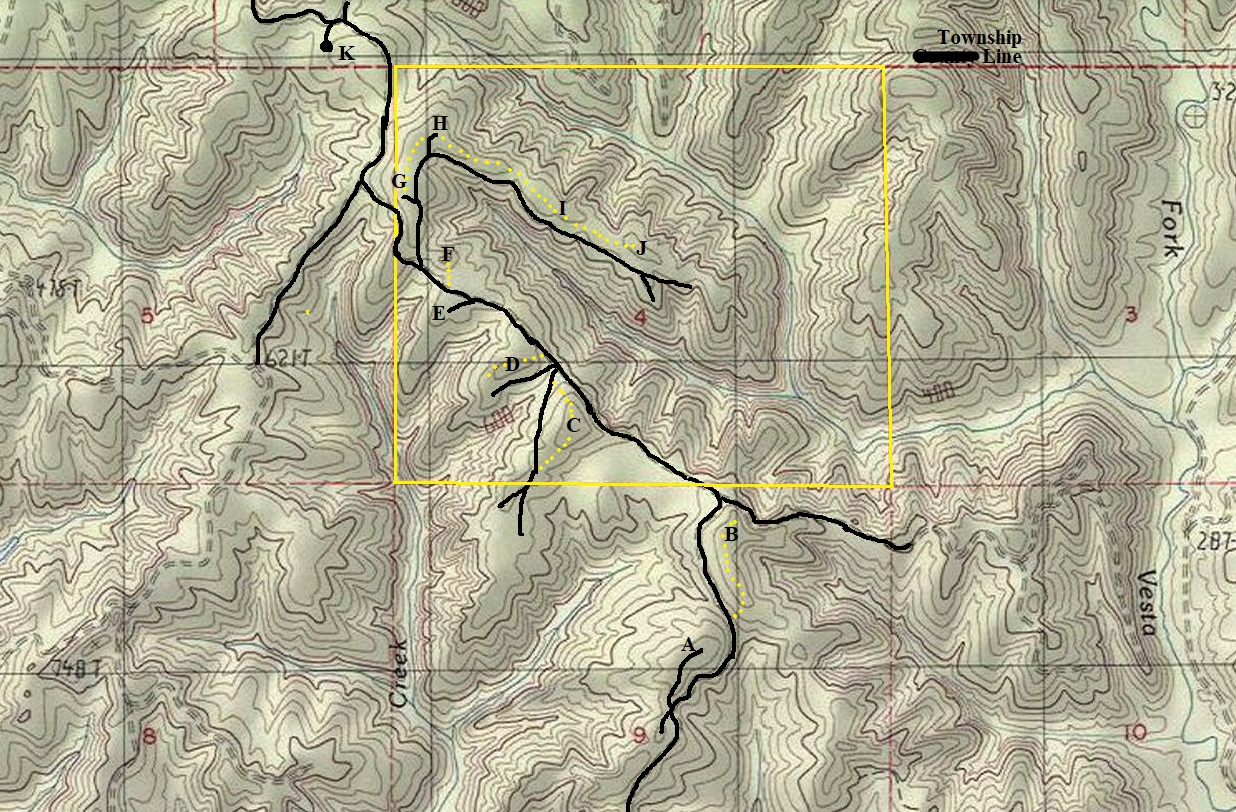
Showing section 4. I visited locations A to J. Based on the maps, G and H should be the location. Both locations have since been used as logging landings.
