Timberwolf Lookout Site
WillhiteWeb.com
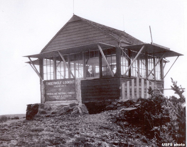
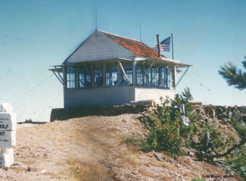
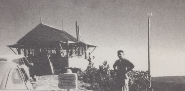
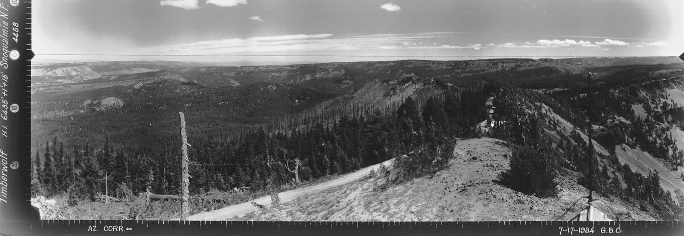
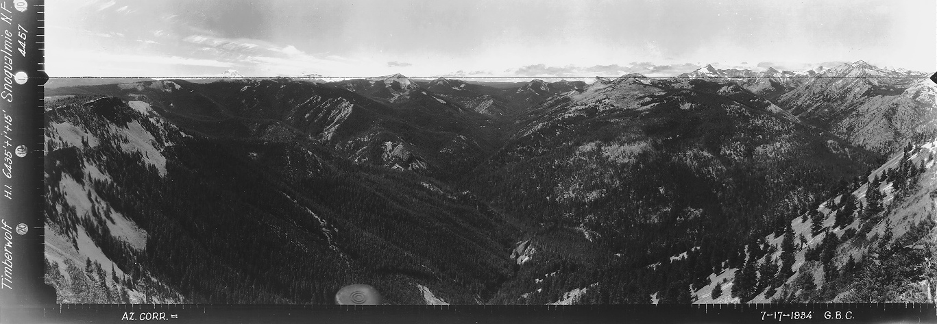
Built in 1931 this was an L-4 cab resting on the ground. Panoramics were taken from the roof in 1934. There was vehicle access at that time and a considerable amount of timber had to be cut to get the north view. The USGS placed a benchmark in 1938 as TIMBERWOLF MTN LOH. They also visited in 1966 referencing the lookout. The lookout was removed in 1975.
Lookout Elevation: 6,391 feet
Hiking Distance: Drive-up or 2 mile hike
Elevation Gain: Drive-up or 1,000 gain
Access: High-clearance needed
Prominence: 1,111 feet
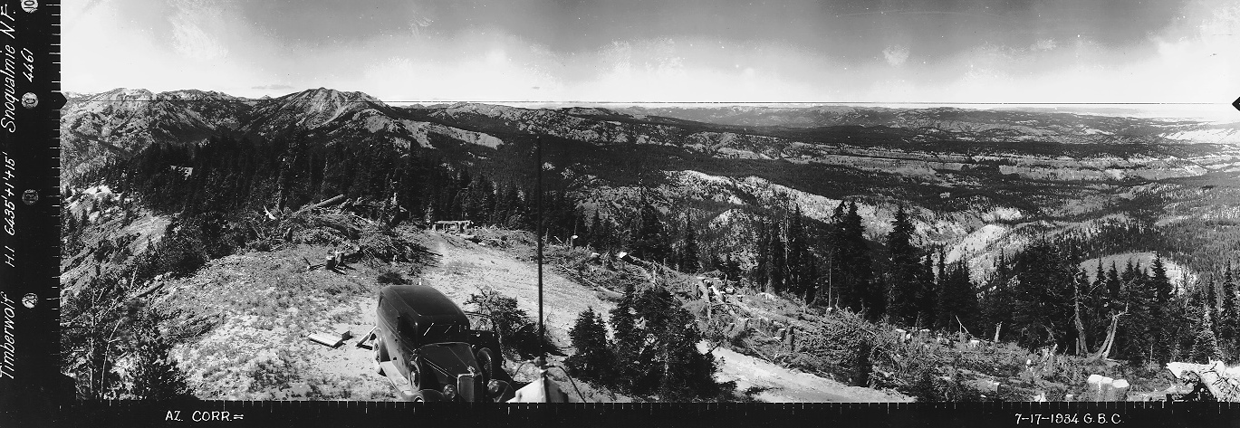
Looking North, July 17, 1934
Looking Southeast, July 17, 1934
Looking Southwest, July 17, 1934
Timberwolf Lookout
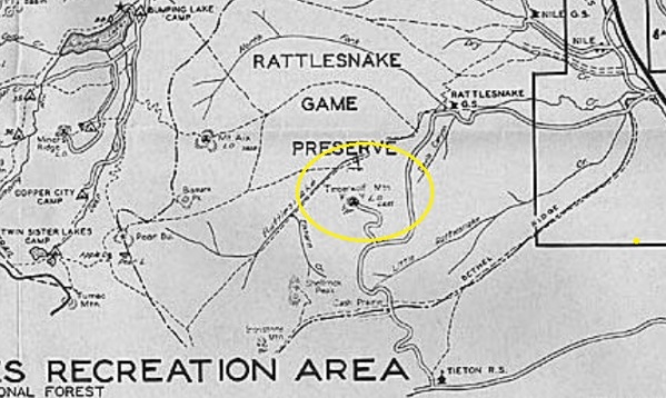
1937 Recreation Map
Timberwolf Lookout
Timberwolf Lookout 1957
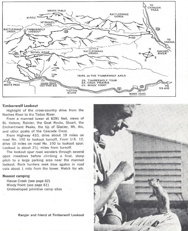



1970s Hiking Book
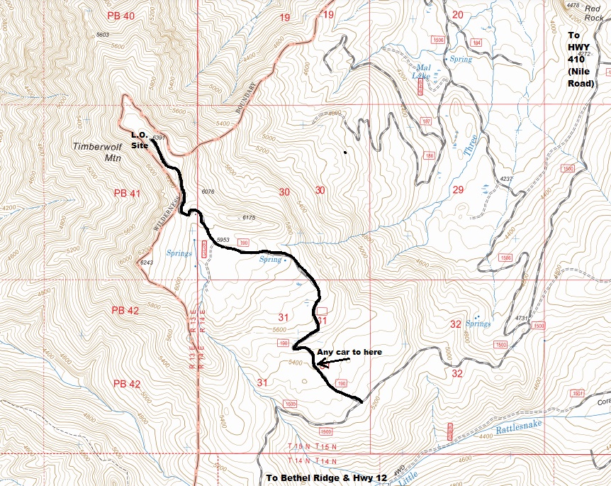
Access:
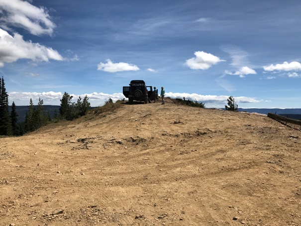
You can still drive to the top with any vehicle with clearance. If not, park where the road gets rough and hike the road.
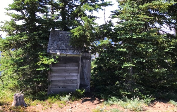
Outhouse still there in 2020
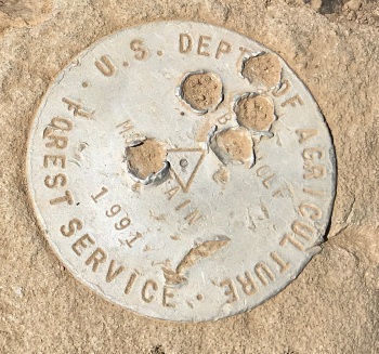
A new benchmark placed in 1991

Parking area at the summit
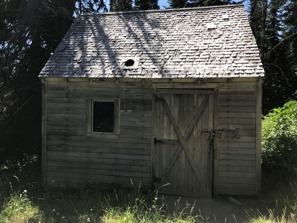
A cabin not far below the summit
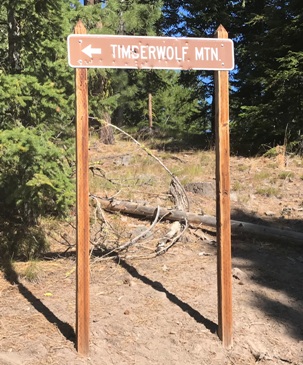
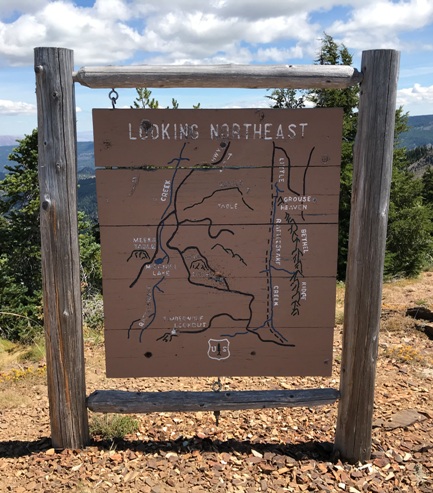
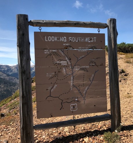
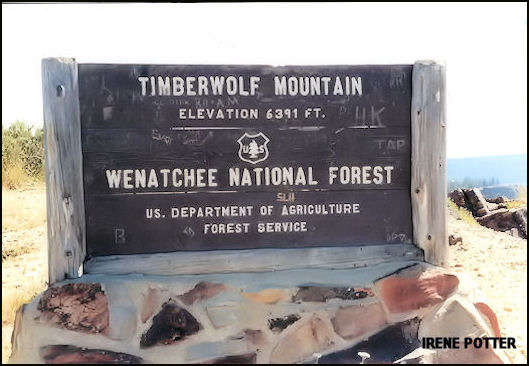
Timberwolf sign
Timberwolf Lookout sign in 2020
Tourist signs at the summit
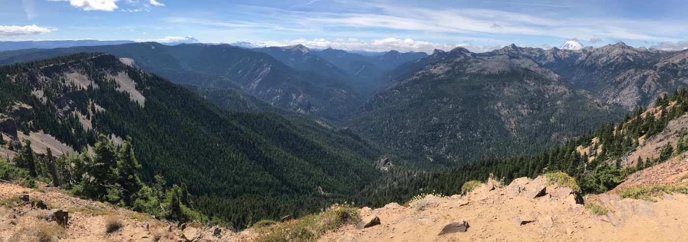
Rattlesnake Creek Valley to the west
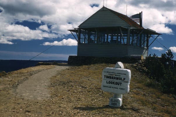
Timberwolf Lookout in 1959


