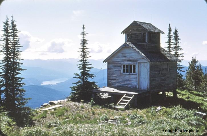
Thunder Mountain Fire Lookout in 1950s
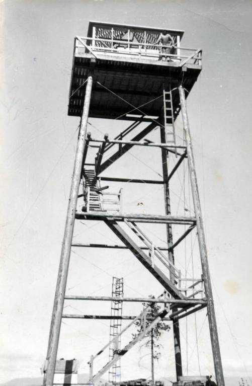
Thunder Mountain Lookout Site
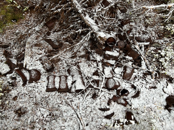
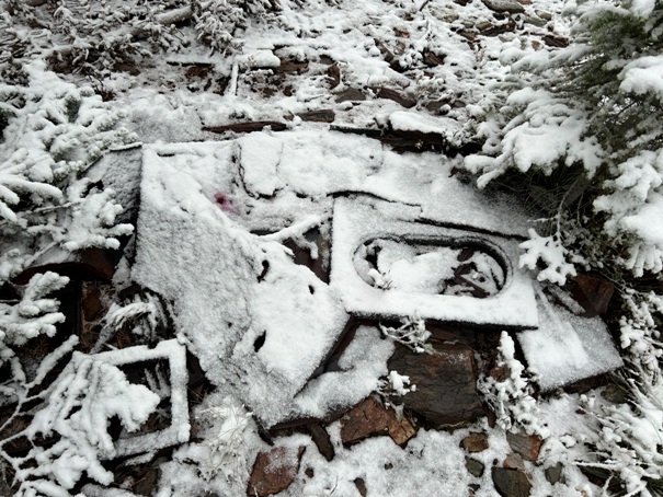
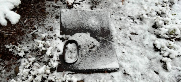
Located in the Salmo-Priest Wilderness is this difficult to reach summit. The area is known for some large old-growth forests although recent wildfires may have affected this. There were two lookouts on the summit about 100 yards apart. Between the two are what looks like the remains of a cabin site, or possibly just the garbage pit and bathroom.
In 1926, a cupola cabin was built at the southern site. The lookout person was Mark Cook who was struck by lightning in his cabin. Luckily, he suffered only minor burns of the hands, feet, and buttocks. The cabin, however, was struck again and destroyed a few years later.
In 1934, a 50-foot wooden tower with L-4 cab was built at the northern site.
Both coexisted until they were removed in the 1950s.
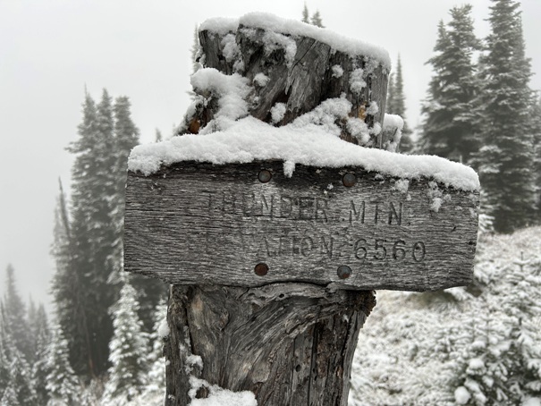
Summit and Lookout Elevation: 6,560 feet
Hiking Distance: 14 miles round-trip (from Thunder Creek TH)
Elevation Gain: 2,400 feet
County: Pend Oreille
WillhiteWeb.com
Thunder Mountain Fire Lookout
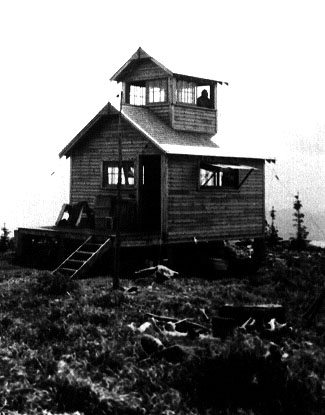
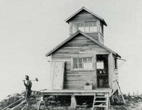
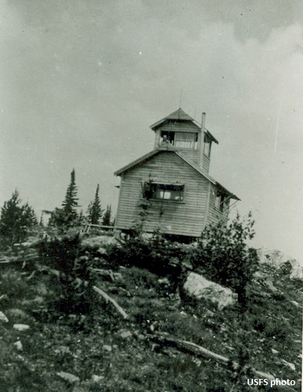
Thunder Mountain Fire Lookout in 1930
Thunder Mountain Fire Lookout in 1930
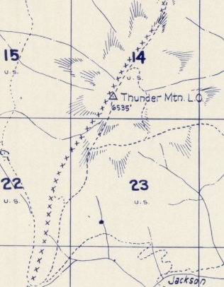
Thunder Mountain Fire Lookout
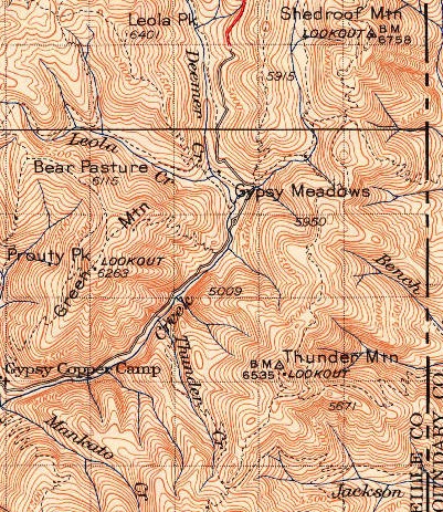
1942 USGS, 1958 update
1957 Metsker map
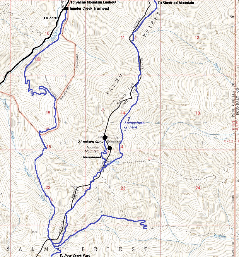
Access trails
Route:
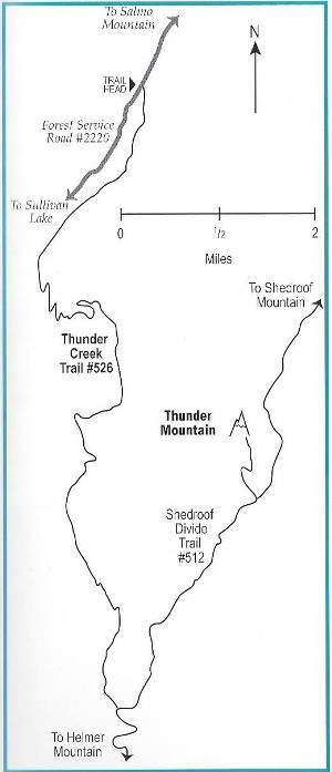
There are several trails that can get you to the summit. The most common would be from the Thunder Creek Trailhead to the west. But the Shedroof Divide Trail that traverses right over the mountain is common for those on longer backpacking trips. I hiked from the south on the Shedroof Divide Trail from Pass Creek Pass. Also note that the final spur trail up the south slope of Thunder Mountain is abandoned and not maintained or signed. Look for it when the main trail just about begins to descend. The spur trail will take you to the north summit where the footings of the former 50-foot tower are located. You will need to find the cabin site and cupola site on your own, following the ridge south.
Access:
From Lake Sullivan, follow Forest Service Road 22 and 2220 to the Thunder Creek Trailhead.
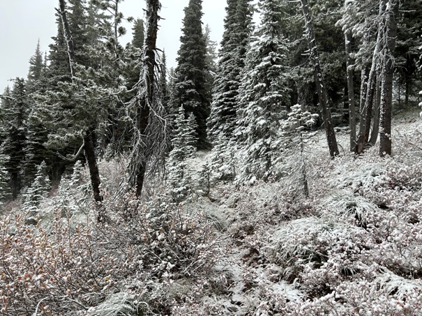
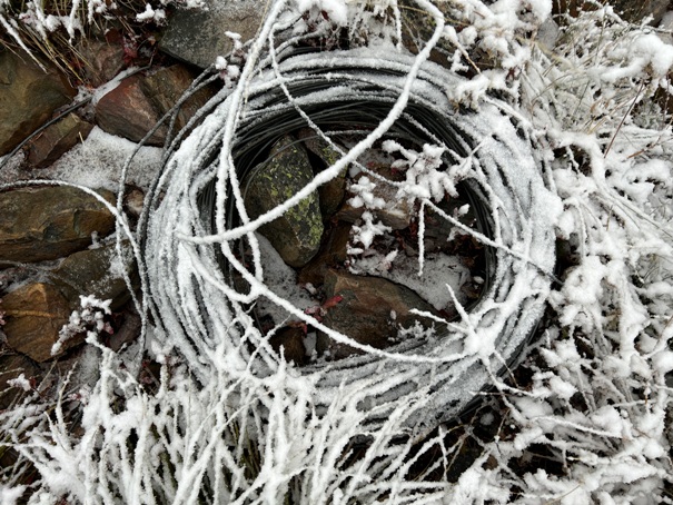
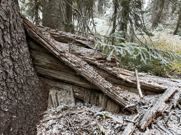
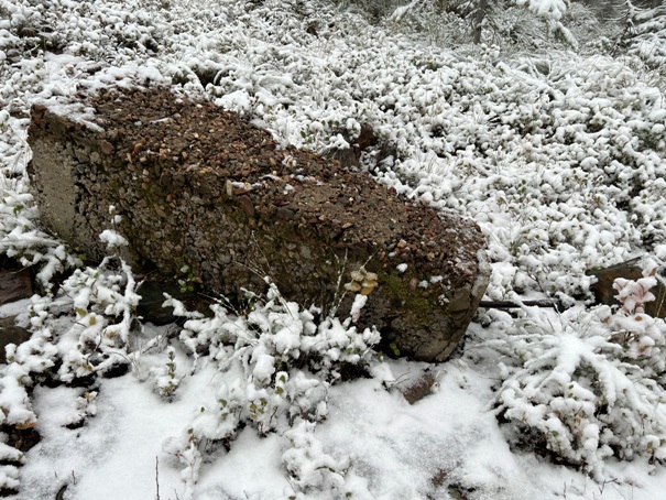
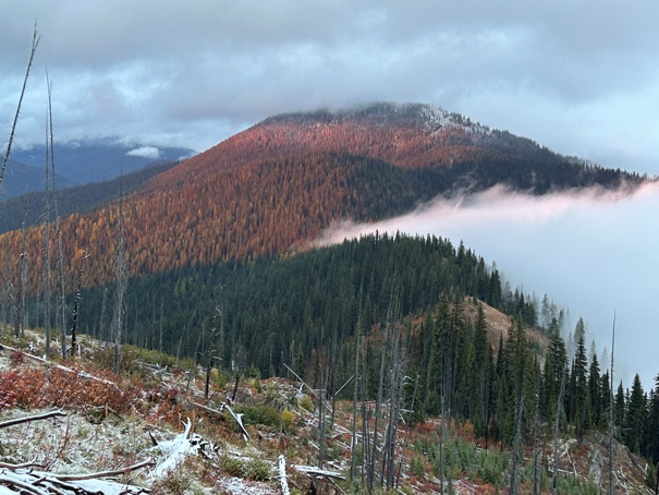
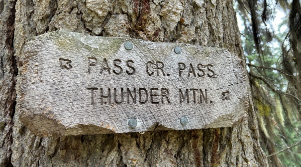
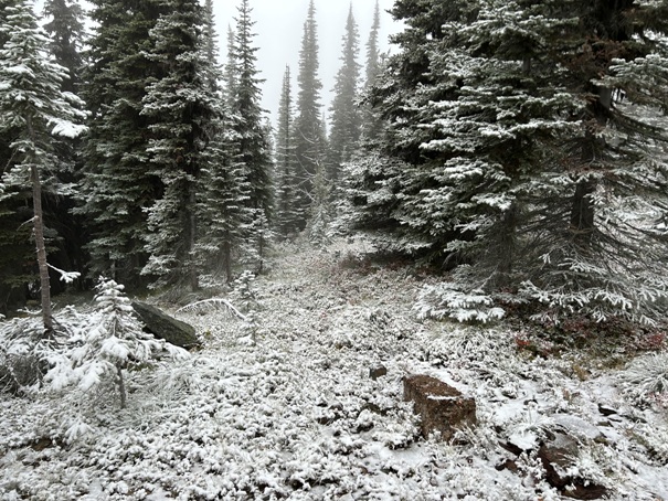
Approaching Thunder Mountain from the south coming down Helmer Mountain.
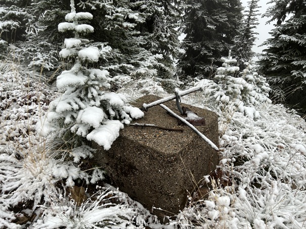
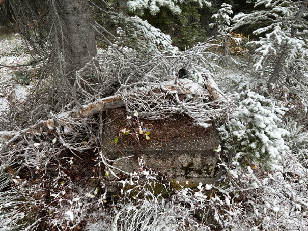
North site footing
North site footing
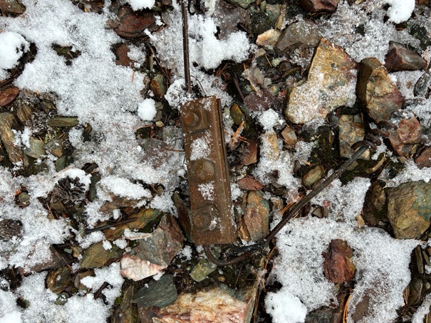
Phone line
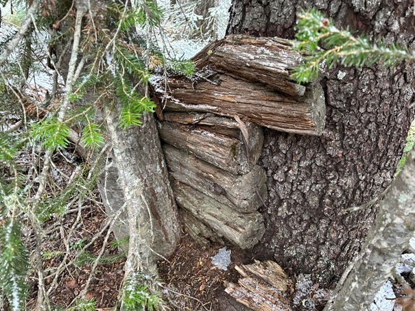
Cable anchors
Summit sign at the north site
At the location between the two sites.
At the location between the two sites.
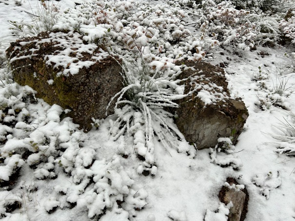
Footing at the south cupola site.
Footings at the south cupola site.
Stove parts at the cupola site
At the gap south of Thunder Mountain.
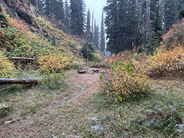
Hiking up Thunder Mountain.
At the gap south of Thunder Mountain.
At the south cupola site.
Footing at the north site
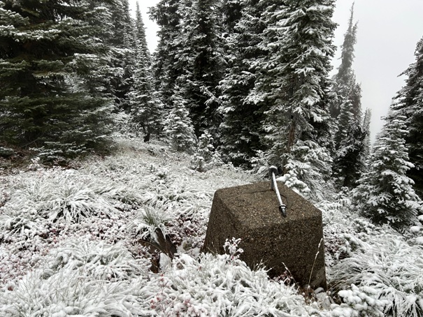
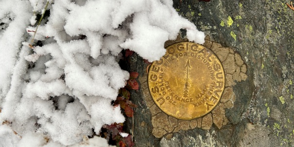
Directional benchmark at the north site (summit).
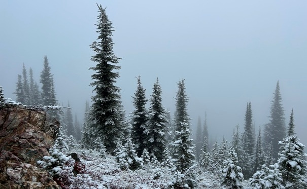
A view still exists at the south site.
Garbage dump at the midway point between the two sites.


