Three Brothers Lookout Site
WillhiteWeb.com
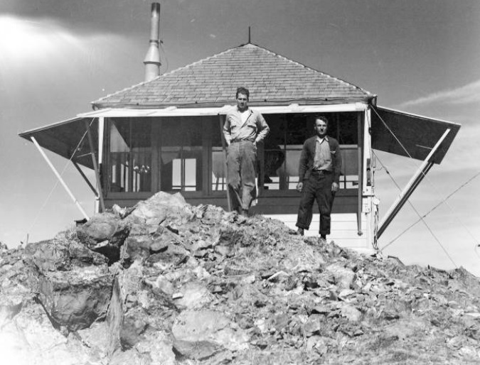
In 1934, an L-4 cab was constructed.
July 13, 1934: “Lookout Trub on Three Brothers and Kuntz on Mission Peak reported a small smoke in the head of Schaser Creek Tuesday evening. A crew of CCC boys were called out headed by A.K. Pilgeram and Fremont McComb. After a thorough investigation the smoke was decided to be sheep dust.” (The Leavenworth Echo)
August 10, 1934: “Marooned on Three Brothers lookout, Ernest E. Trub told us last week of his witnessing through field glasses two mountaineers making the ascent of Mount Stuart, 9470 feet above sea level and the highest point on the forest. For two afternoons these pigmies toiled up the steep cliffs and glaciers apparently on the wrong location for making the ascent. Mr. Trub did not believe the men reached the top. Only a lookout can appreciate how humanly interesting witnessing such an incident can be.” (The Leavenworth Echo)
August 29, 1934: Ernest Trub, lookout on Three Brothers, also had troubles to tell Anderson. He had been raided from the air. Trub had cached his bacon supply in a snowbank near the lookout station and had watched it fade away into the distance, in the claws of a huge eagle.” (The Wenatchee Daily World)
On October 7, 1934, panorama photos were taken (shown below).
July 17, 1937: “Mr. and Mrs. Russell Lee, Miss Ethel Bersing, and Louis Wagoner hiked to Three Brothers lookout station Sunday to spend the day with Everett Wagoner.” (The Wenatchee Daily World)
In 1941 the lookout was Ben Bryant.
In 1966, the cab was destroyed.
Lookout Elevation: 7,169
Elevation Gain: 5,000 likely
Hiking Distance: From 6 to 9 miles one-way
County: Chelan
Access: Good gravel road to Stafford Creek Trailhead


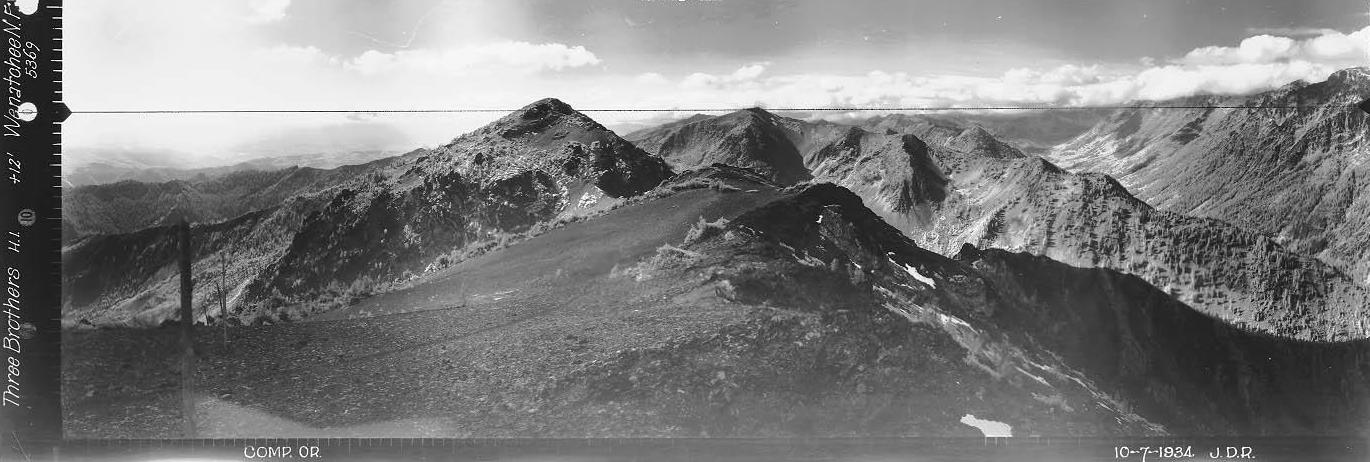
Looking North, October 7, 1934
Looking Southeast, October 7, 1934
Looking Southwest, October 7, 1934
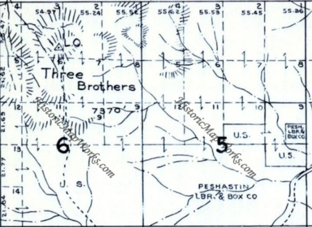
1956 Metsker map
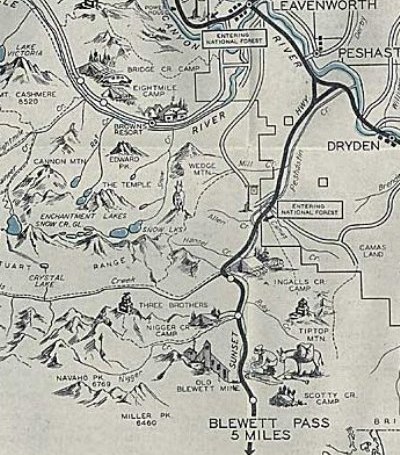
1937 Recreation Map
Three Brothers Lookout July 4, 1939
Lookout History (stories fround by Ron Kemnow)
Three Brothers is now a remote former lookout site to visit due to inaccessible roads at the old trailhead. Private mining claims and property has blocked access to the old trailhead. Most climbers visit the higher west peak via the Teanaway but few venture over to visit the middle peak where the lookout was at.
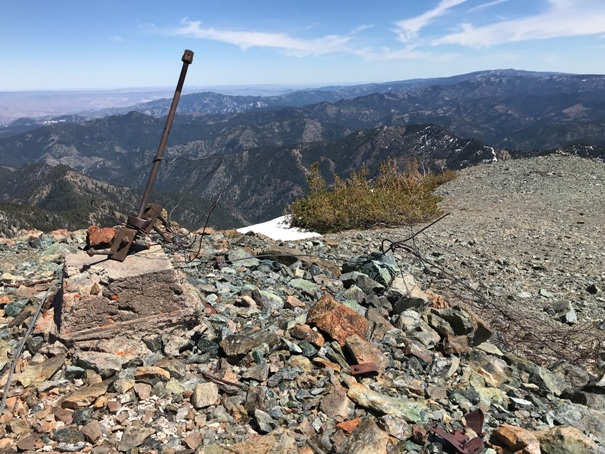
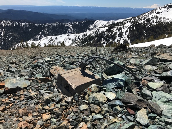
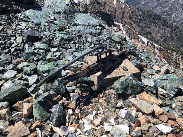

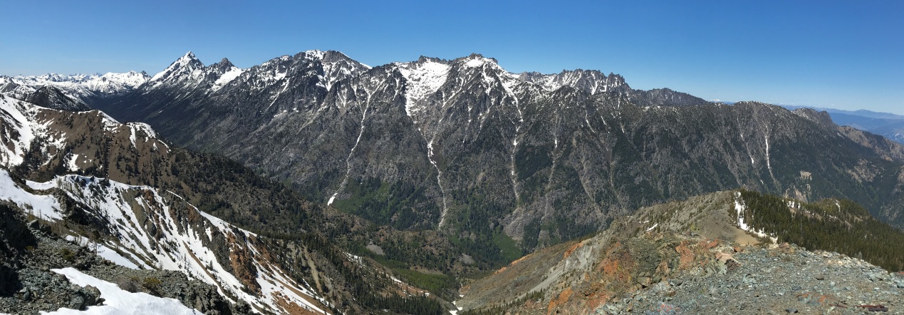

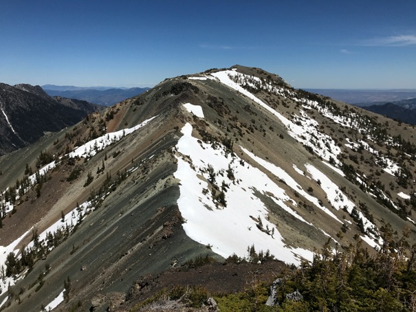
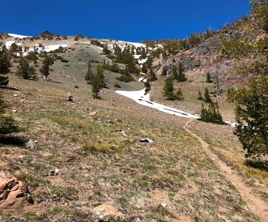
Gold Creek Basin and the old trail
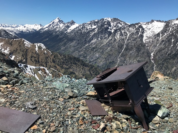
Old stove on the summit and Mt. Stuart in the distance
Middle Brother (the lookout site) from the slopes of the West Brother
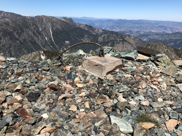
Footing 4 with some burned wood still attached
Footing 2
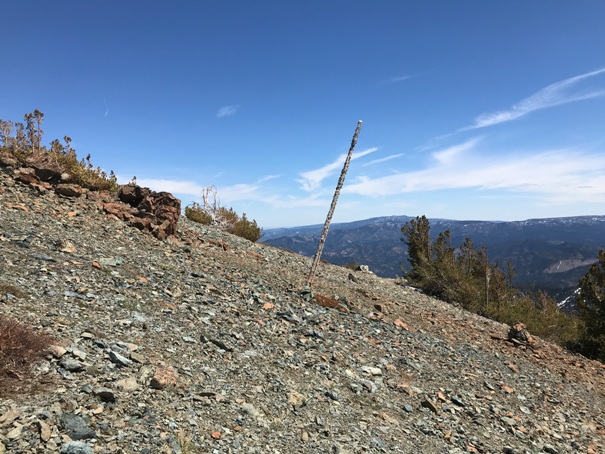
Just below the summit is a phone line pole still standing
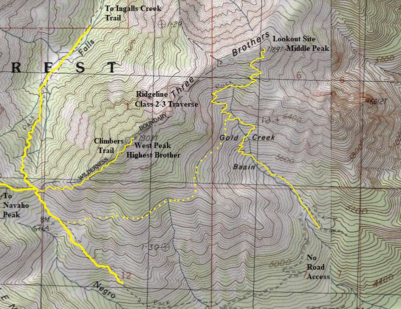
Yellow lines are trails or climbing routes, yellow dots are off-trail route
Looking North, 2021
Looking East, 2021
Looking Southeast, 2021
West Brother
West Brother
I hiked in via Stafford Creek, traversed below Navajo Peak, dropped down to the saddle, climbed the highest Brother at 7303 feet, then scrambled the ridgeline over to the lookout site. The ridgeline is a class 2-3 scramble. Upon return, I dropped down the old trail below some cliffs, then traversed around the west peak of Three Brothers back to the saddle.
Access/Route:


