Thrapp Mountain Lookout Site
WillhiteWeb.com
In 1932, the lookout was Ted Healam.
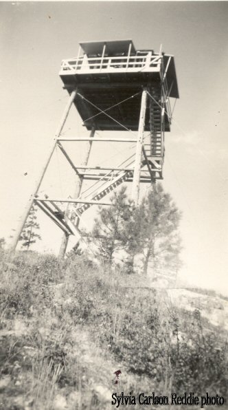
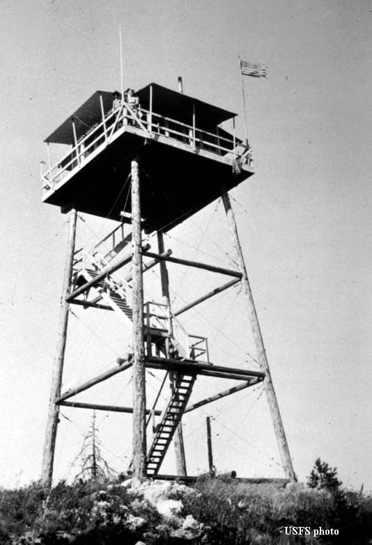
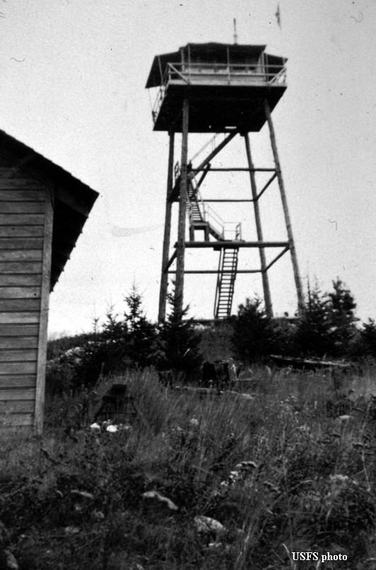
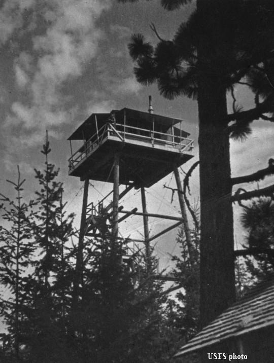
In 1933, a 40 foot pole tower with L-4 cab on top was built.
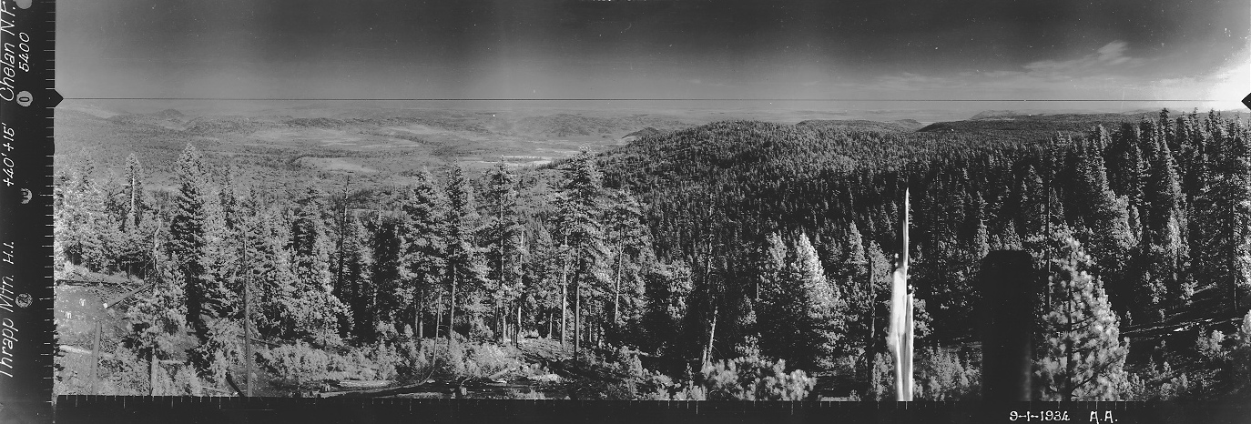
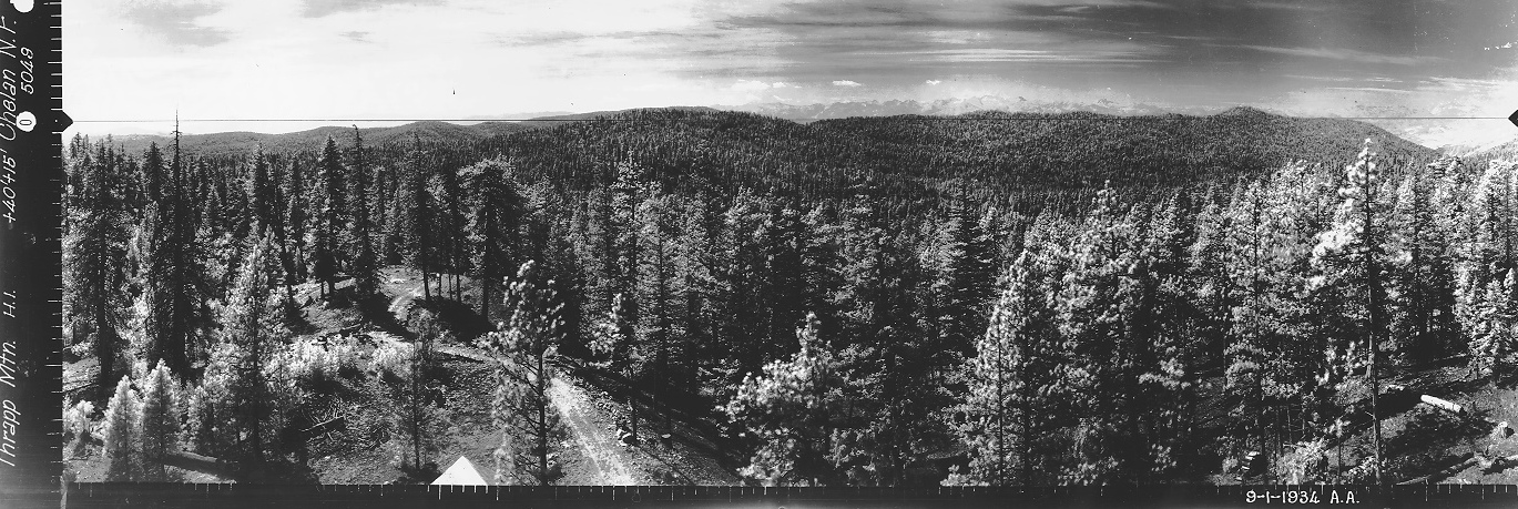
In 1934, panorama photos were taken at 40+15 feet. A road went to the top.
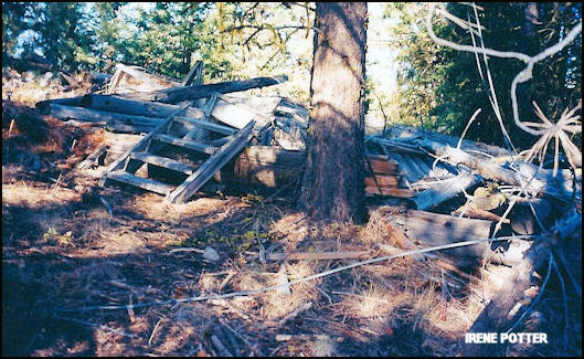
In 1958, the tower was destroyed.
Lookout Elevation 4,266 feet
Hiking Distance: 0.5 to 1.5 miles depending on fallen trees
Elevation Gain: 500 to 1,300 feet depending on fallen trees
County: Okanogan
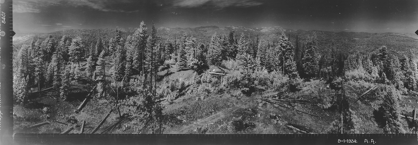
Looking North 1934
Looking Southeast 1934
Looking Southwest 1934
Photos from other visitors in 1999 and 2000
Thrapp in 1949
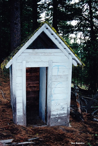
Outhouse in 1999
Thrapp in 1945
Thrapp Mountain Lookout
Thrapp Mountain Lookout
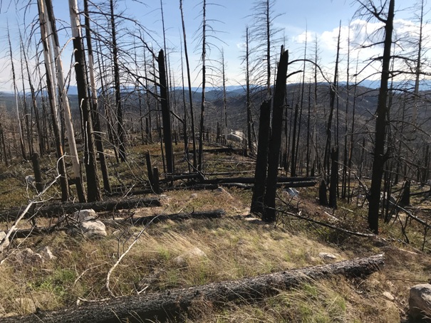
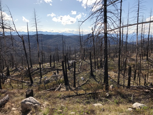
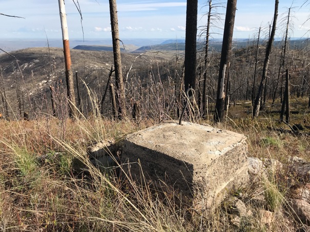
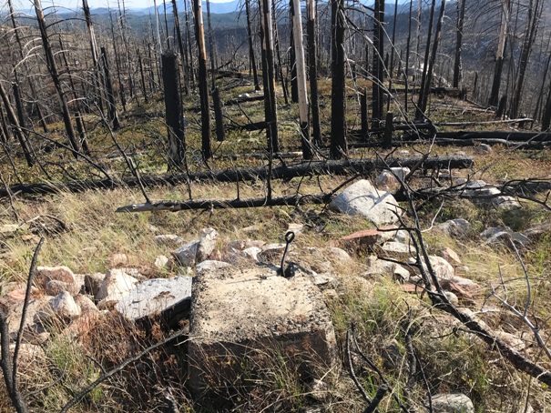
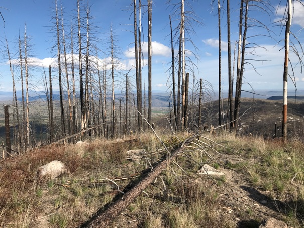
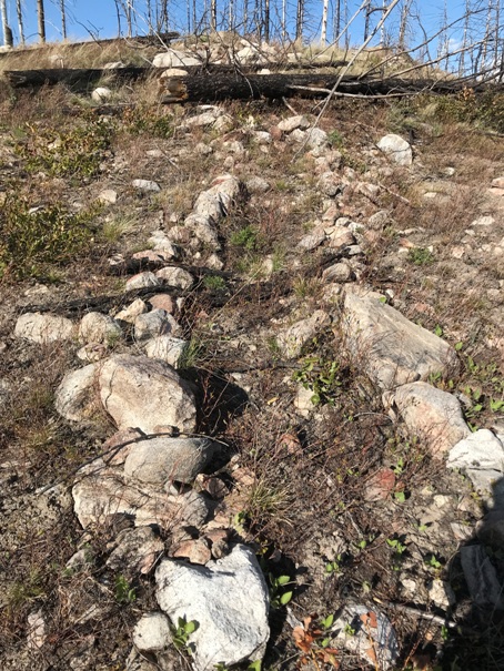
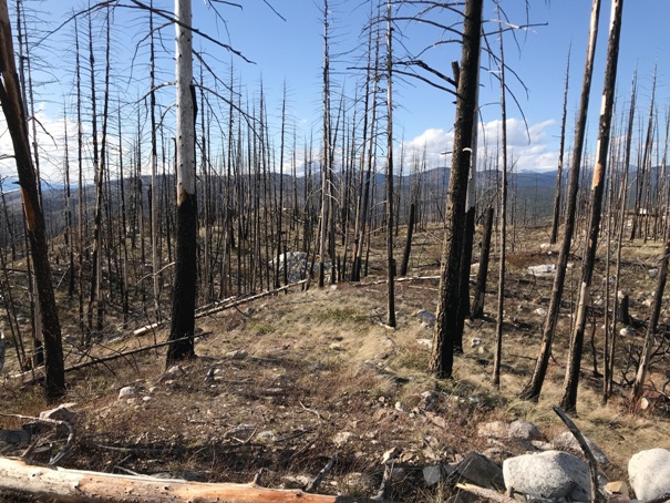
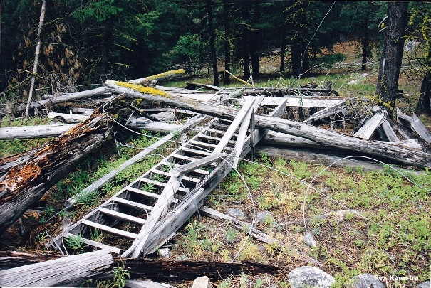
Walkway up to the lookout site
Footing and looking South
Footing and looking southeast
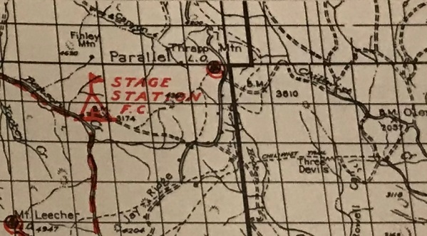
Thrapp Mountain Lookout on an old Forest Service map
Looking west
Looking Northwest
(Access & Route at bottom of page)
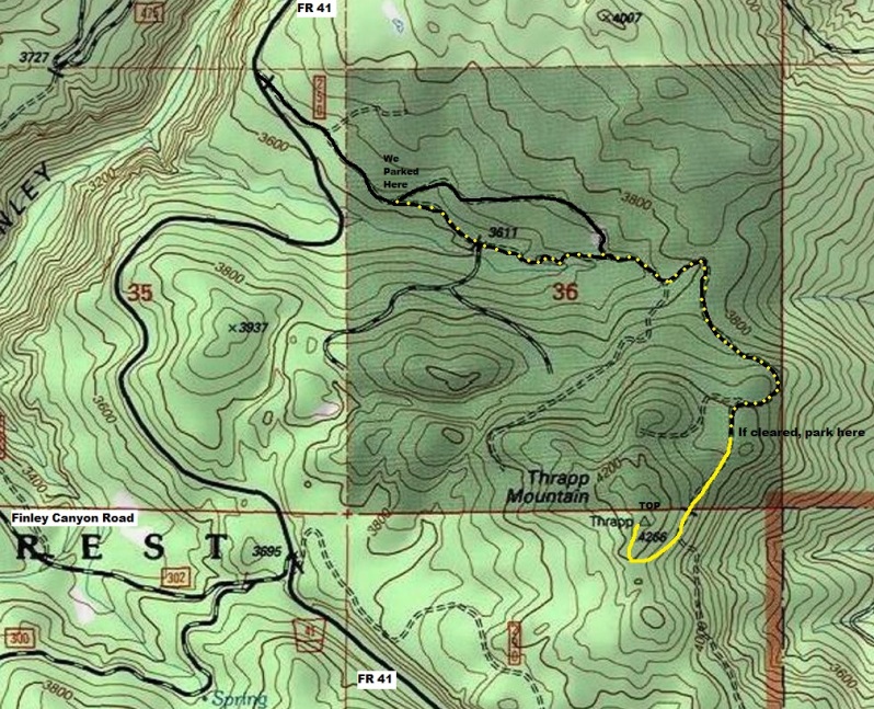
Forest Road 41 (running north and south) is paved for around 20 miles. You can also come in from Finley Canyon to the West. There is a good dirt/gravel road on the north side of Thrapp Mountain. Deadfall from trees is the only issue that will stop you from reaching high on the north side. Just hike from as far as you can drive, the walking is easy around the fallen trees. The last quarter mile might be easier to just go directly to the summit.
Access & Route:
April 2020
April 2020


