Termination Point/Peak Lookout Site
WillhiteWeb.com
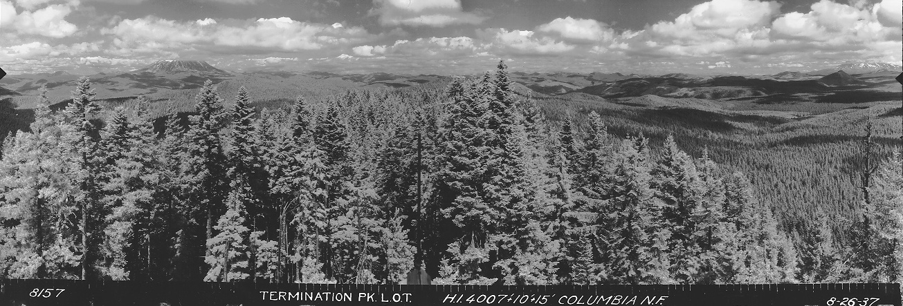
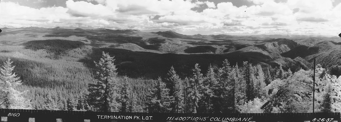
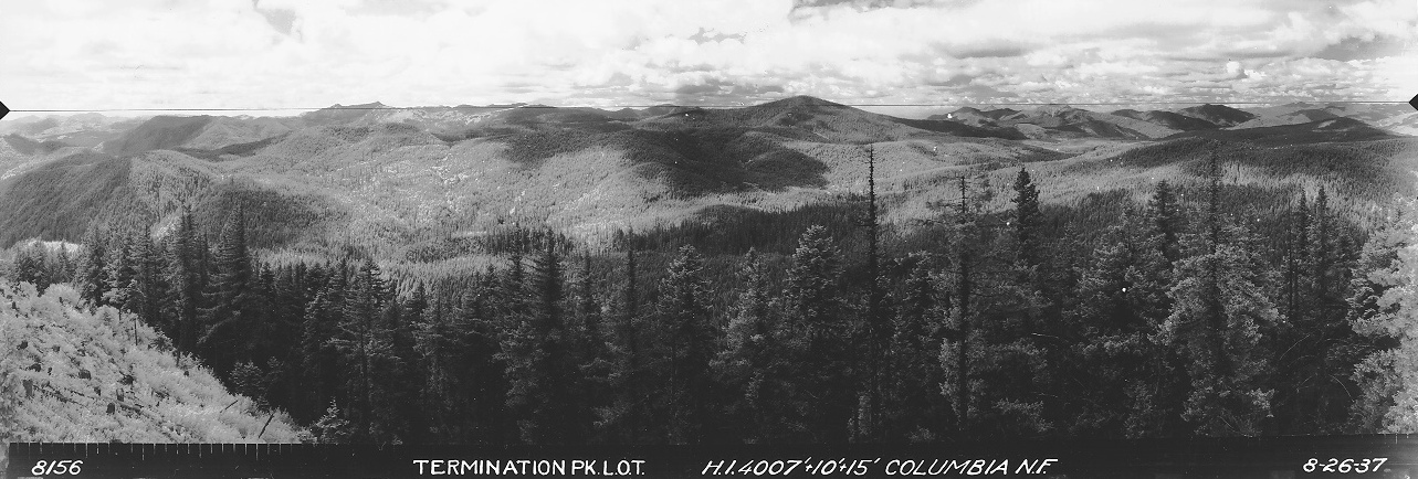
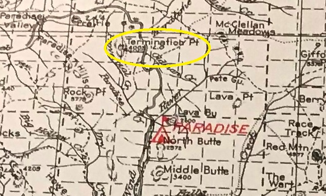
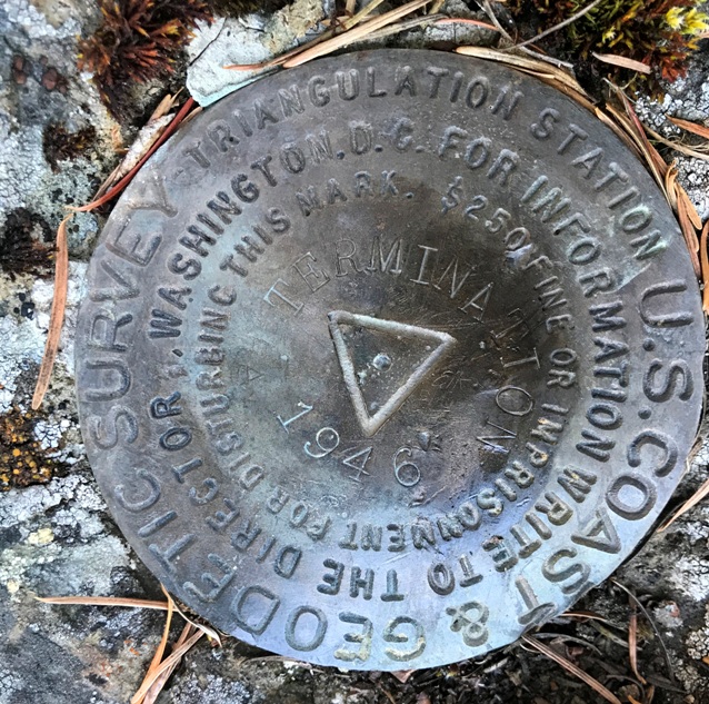
The lookout inventory says there was a cabin in the 1930s. A lookout is labeled on the 1932 Columbia National Forest map. From the photo survey panoramics taken on August 26, 1937, we see the photos were taken at 25 feet above ground, and they call it a lookout tower. The 1937 recreation map also shows a structure. In 1946, a USGS party said there was a Forest Service Lookout called Termination Point. When they revisited in 1953, they said the Forest Service lookout had been dismantled.
Looking Southwest August 26, 1937
Looking Southeast August 26, 1937
Looking North August 26, 1937
Elevation: 3,996 feet (4,007 on panoramics)
Hiking Distance: Under quarter mile from end of roads
Elevation Gain: 120 feet
Access: Good gravel to last spur road
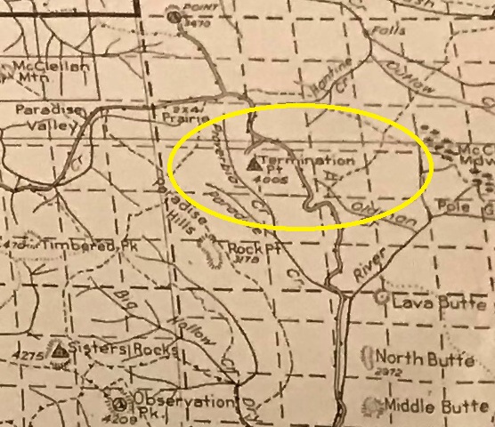
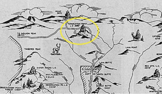
1937 recreation map
Columbia National Forest 1932
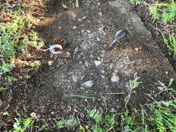
Footing at the summit
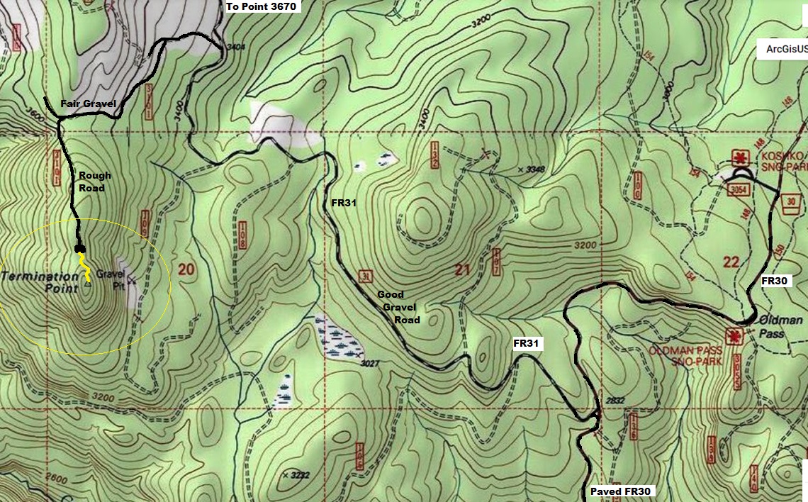
Columbia National Forest 1940
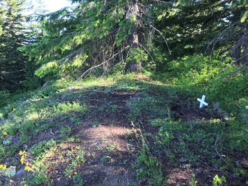
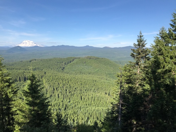
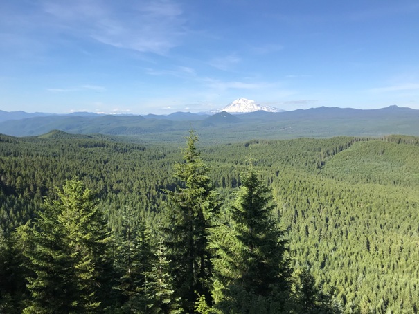
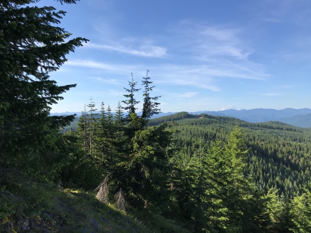
View in 2020, Rainier and Adams in view
Lookout location in 2020
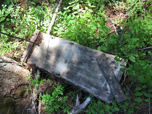
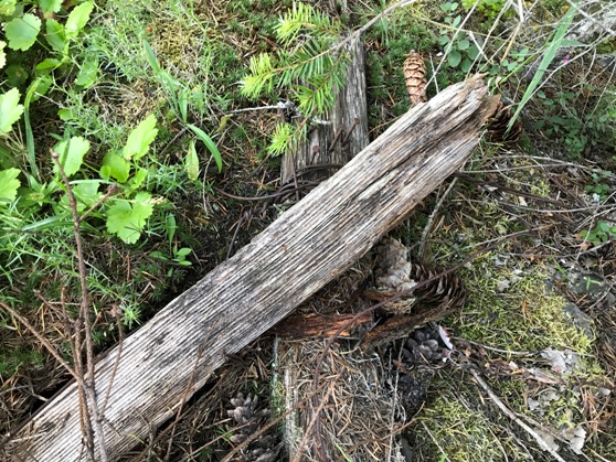
Some wood down the hillside
Wood and wire at the summit
Termination Benchmark


