Stafford Creek Lookout Site
WillhiteWeb.com
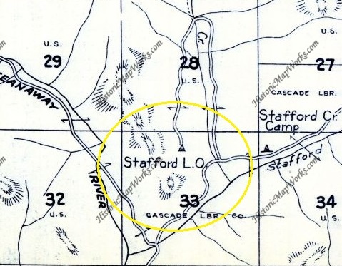
In 1933, B. D. March was the Stafford Creek lookout-fireman, according to a Leavenworth newspaper article. This was a camp unless a prior unknown structure existed.
In 1934, panoramas were taken from the ground. Trees had been cut to make a view and there was an outhouse. The photos were taken from ground level.
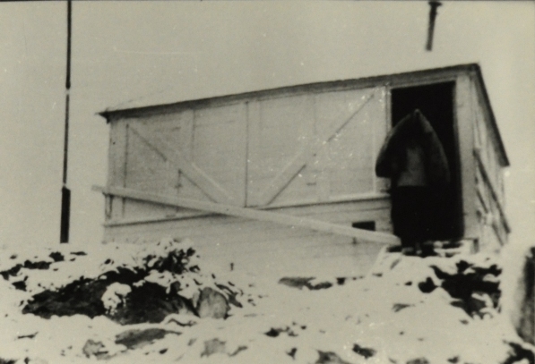
In 1935, an L-4 cab was built.
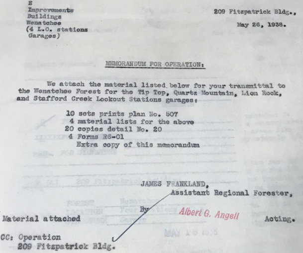
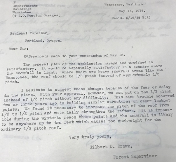
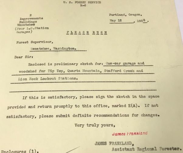
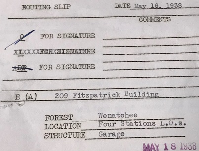
In 1938, the Forest Service was building a combination garage and woodshed.
In or around 1966, everything was abandoned.
The access road is along Standup Creek, and some inventories have mistakenly called this site Standup Ridge Lookout.
Lookout Elevation: 3,784 feet
Hiking Distance: One mile one-way
Elevation Gain: 700 feet
Access: High clearance best (walk road if not)
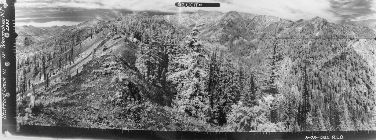

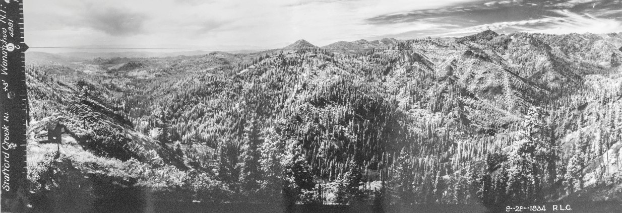
Looking North, August 28, 1934
Looking Southeast, August 28, 1934
Looking Southwest, August 28, 1934
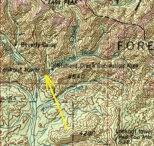
Stafford Creek Lookout shown on older map
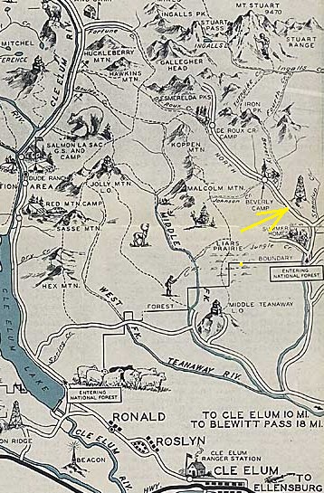
Cle Elum Recreation Map
1956 Metsker Map

Stafford Lookout 1955 (R. Johnson Collection)
Documents for the comnination garage and woodshed.
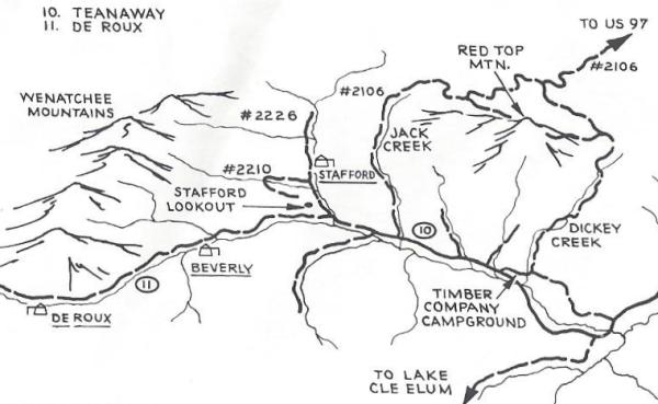
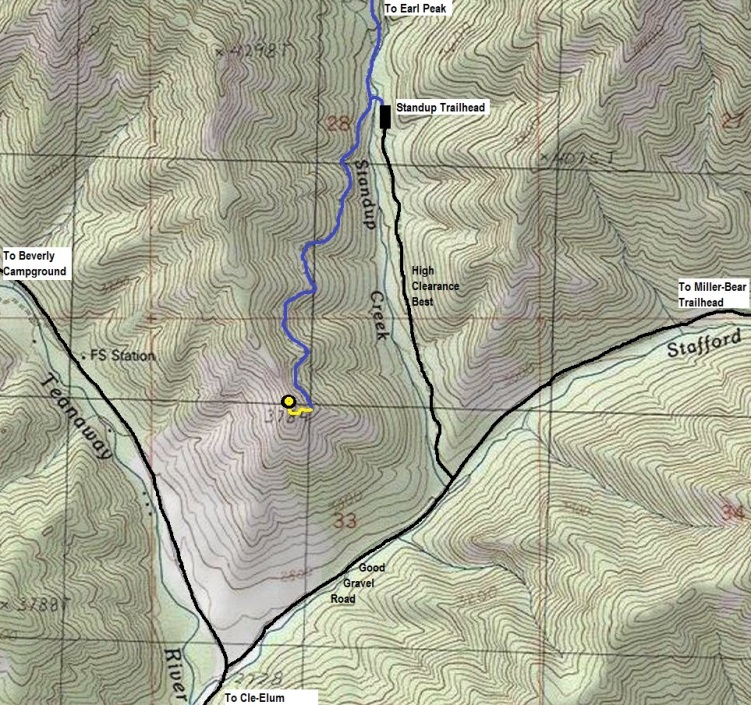
Take the North Fork Teanaway Road to the Stafford Creek Road (9703). Follow the Stafford Creek Road under a mile to the Startup Creek Road on the left. The Startup Creek Road is best with higher clearance cars. Some just park and walk the road.
Access:
Take the North Fork Teanaway Road to the Stafford Creek Road (9703). Follow the Stafford Creek Road under a mile to the Startup Creek Road on the left. The Startup Creek Road is best with higher clearance cars. Some just park and walk the road.
Route:

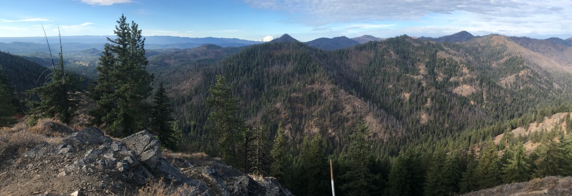
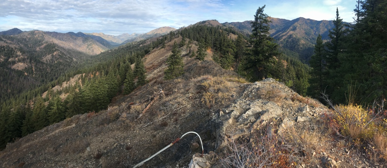
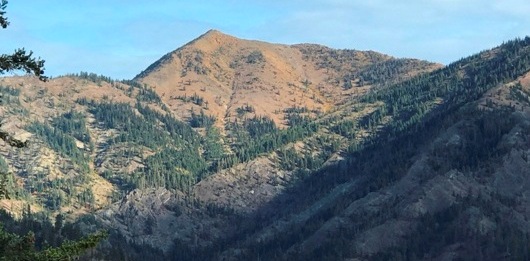
Looking North, October 2, 2021
Looking Southwest, October 2, 2021
Looking Southeast, October 2, 2021
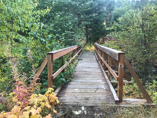
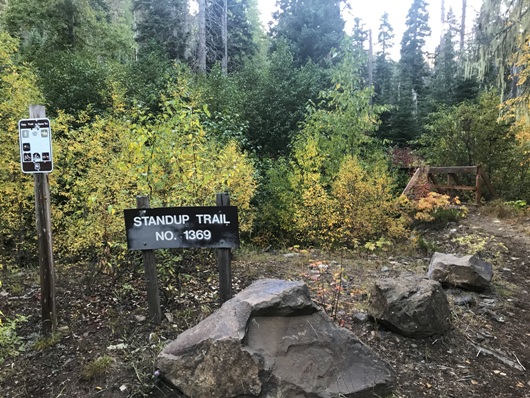

Start at the Standup Trail
Bride at the start of the trail
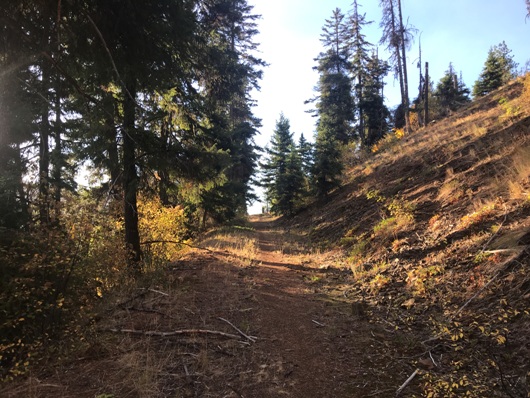
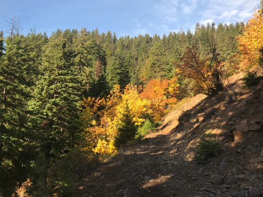
Hiking up the old road
Hiking up the old road
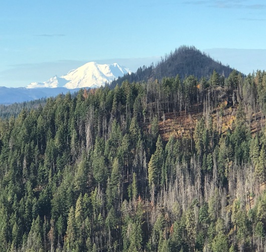
Tarzan Butte and Mt. Rainier
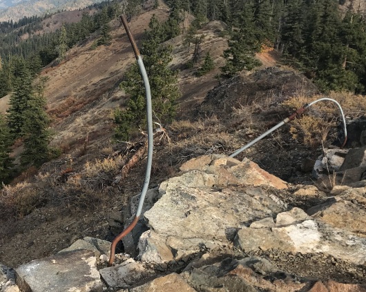
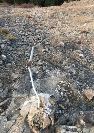
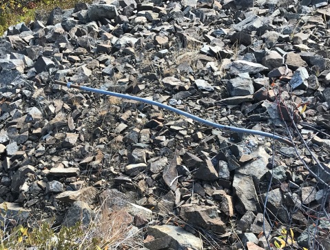
Footings and anchors
Earl Peak
Red Top Mountain Lookout in the distance
The lookout in an old Footsore book
Footing with a long anchor attached
Another anchor


