Squaw Valley Lookout Site
In the 1930s, an 80-foot crow's nest was built.
It was abandoned in 1940.
It was still there 1980s.
Location I show on maps below is based on Kresek inventory, not my knowledge.
Lookout Elevation: 2,920
Hiking Distance: Have not visited yet
Elevation Gain: Have not visited yet
County: Pend Oreille
WillhiteWeb.com
1936 USGS shows trail near but not to the point
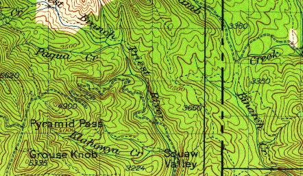
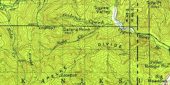
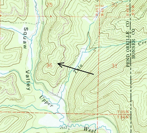
1934 USGS showing trail on ridge north of the point
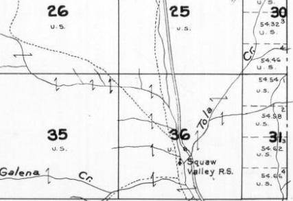
1941 Metsker map shows a ranger station in the valley just below lookout site
Said to be the location of the Squaw Valley Lookout Site
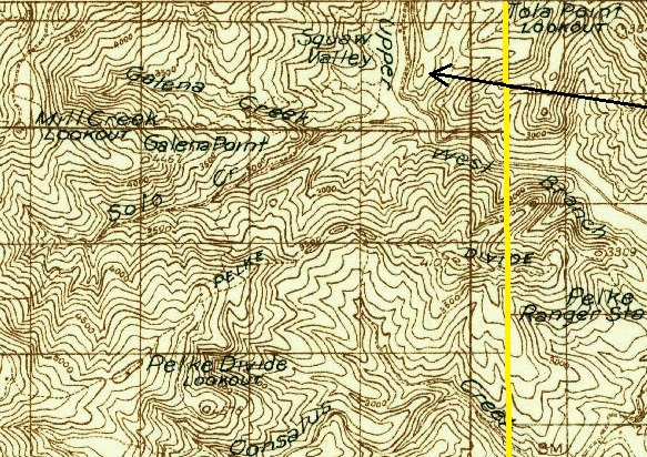
1936 Forest Service map. Yellow line is the state line.


