Spruce Lookout/Geodetic Hill
Lookout Elevation: 3,018 feet
Hiking Distance: One mile each way
Elevation Gain: Under 500 round-trip
Access: Good gravel, steep in places
WillhiteWeb.com
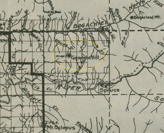
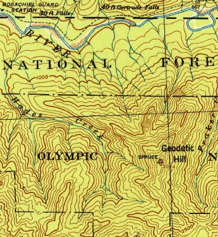
This location was first monumented as SPRUCE by a Coast and Geodetic Survey party in 1913. They probably gave the name Geodetic Hill, and got it labeled on the map by 1915. This place later had the names Spruce Lookout and Geodetic Hill. Both were used on AWS documents. Spruce was a community in the valley to the SE of the hill and monuments were commonly named after local towns.
Lookout History
According to the Kresek inventory, a cabin was built in the 1930s.
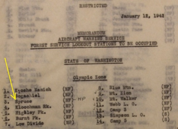
In January of 1942, a list of Forest Service and National Park lookouts was given to the Aircraft Warning Service. Spruce Mountain was listed in this list. This is the only item I have found showing that the location existed as a fire lookout. After the AWS opted to utilize the site, whatever was on the summit was not good enough because the AWS built a 10 x 20 foot cabin built with native material. No mention is made of a prior cabin. AWS documents say the site was 12 miles from a road. The AWS nor the Park Service make any mention of cutting all the old-growth timber at the summit so it seems likely the trees had already been removed. The memorandum below would probably have mentioned the removal of trees.
In a July 31, 1942 memorandum from the National Park Superintendent Preston Macy:
In connection with the operation of our Aircraft Warning Service for the U.S. Army we have been instructed to establish a station on Geodetic Hill for yearlong occupancy which involves the erection of a small shake cabin which will cost approximately $700.00. It will also be necessary for us to build a few short access trails and stub telephone lines. Later on, it may be necessary to erect additional stations. The total expenditures will no doubt far exceed $1,500.00. The demands made upon this office by the Aircraft Warning Service are attaining serious proportions and the situation is such that we must act with considerable speed in order to afford the Army the service required (NARS:RG 79 1942b, 31 July).
After the war, the cabin was set for abandonment in place.
In 1954 a USGS party described the cabin. The cabin is a wooden structure which is 12 by 20 feet in dimension and 15 feet in height.
In 1974 another USGS party visited and said the Geodetic Hill cabin was completely burned by the Park Service around 1972
Notes:
A photo collection of Carsten Liens at the UW Historic Collections may have an image of the cabin. I plan to visit and take a photo of the photo.
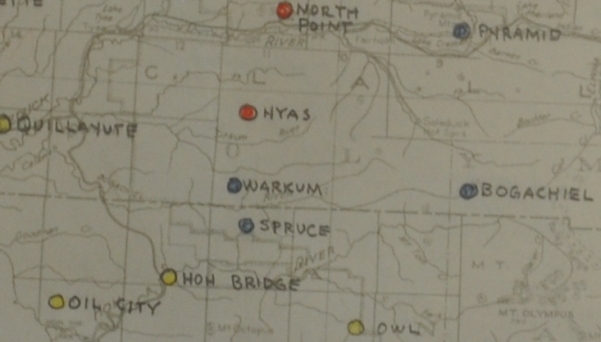


AWS map showing Spruce
AWS observers at Spruce Lookout
1915 map showing Geodetic Hill
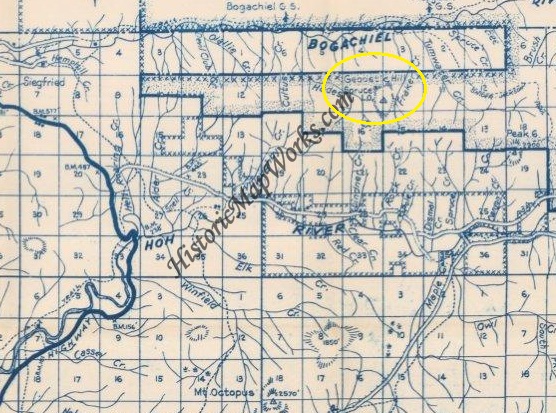
1950 Metsker map showing both Spruce L.O. and Geodetic Hill
On the AWS list of what to do with after the war, it shows Spruce as newly constructed 10x20 cabin built with native materials, to be abandoned in place.
Access:
Route:
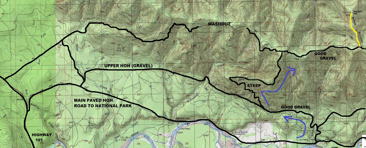
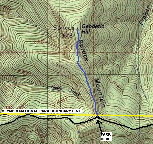
In 2020, the road had been cleared and was accessible to the National Park Boundary on the ridge. See my map for access, a washout has blocked the most direct driving route.
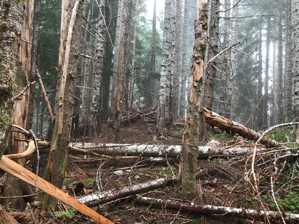
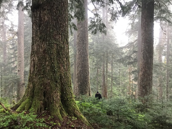
The one-mile hike on the ridge is in an awesome old-growth forest. There are open sections of forest and some brushy sections to brushbash. Some game trails exist but mostly cross-country. The old trail came from the other side.


AWS map with dates
The Forest Service suggested there was something at Spruce before the AWS picked the sites to be used. Shown as National Forest managed but National Park is hand written off to the side.
A cleaned up version of the list.
July 20, 1942
The hike is the blue line
USGS 1943
Access routes
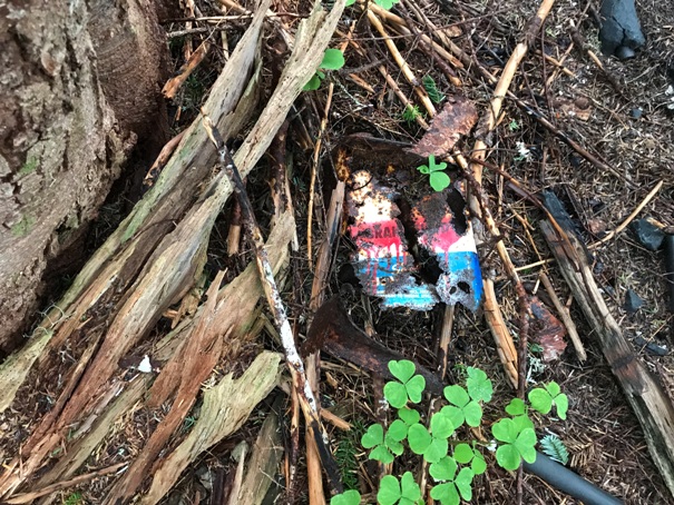
Old can
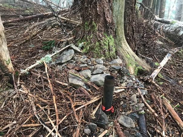
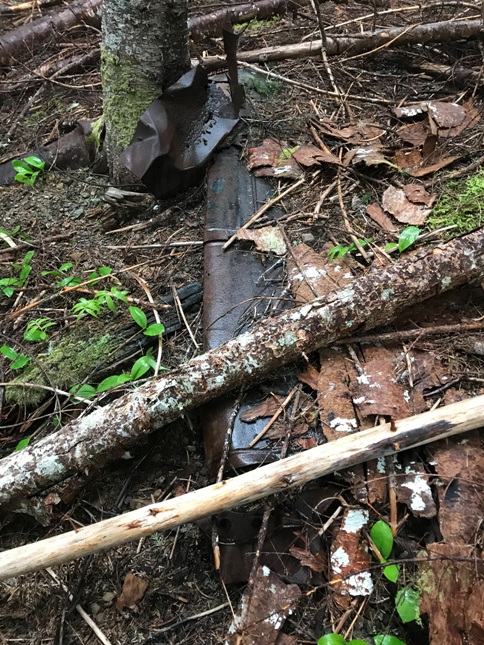
The stovepipe
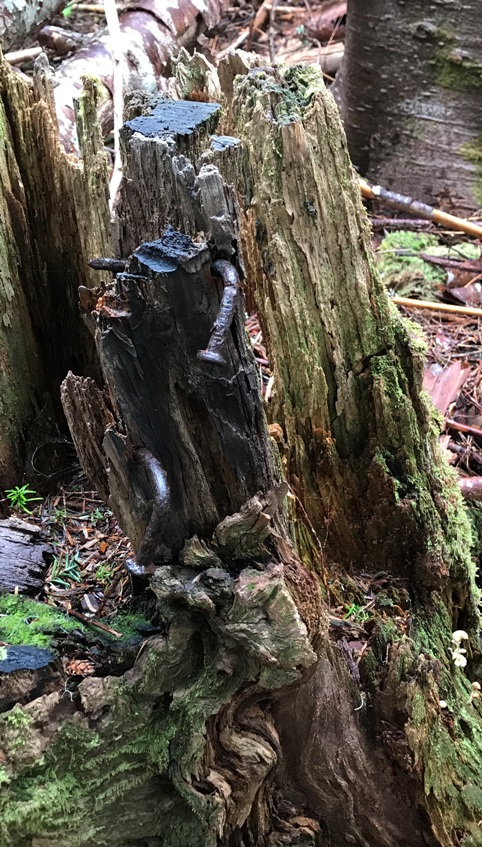
Two large nails in a stump
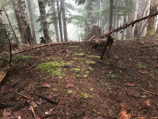
Younger trees around the lookout site
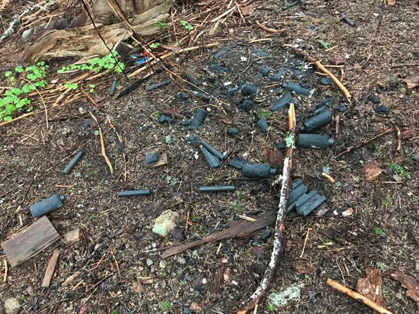
Battery dump
Flat area where the cabin was located
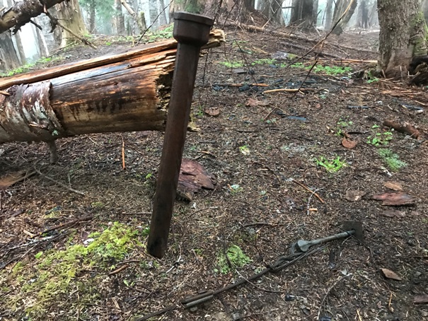
Unknown pipe
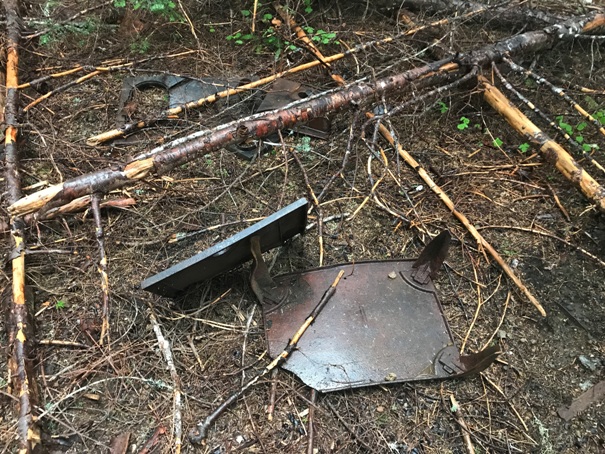
Stove parts
Pipe in the ground
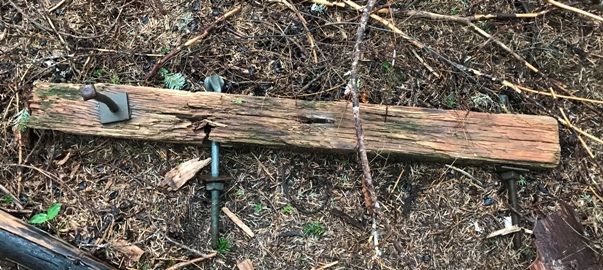
Wood and bolts
Trekking across the ridge to the site


