Smith Creek Butte Lookout Site
WillhiteWeb.com
In 1932, the Smith Creek Butte was a lookout station. We do not know the starting date but the site shows up on the 1932 USFS map. It was a 12-foot wooden tower with L-4 cab.
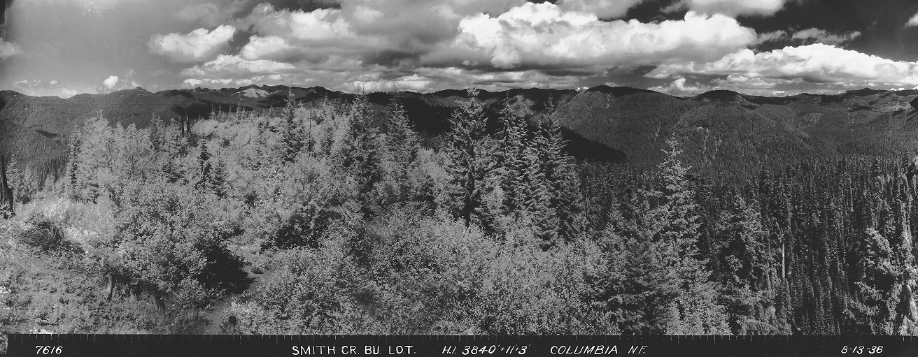
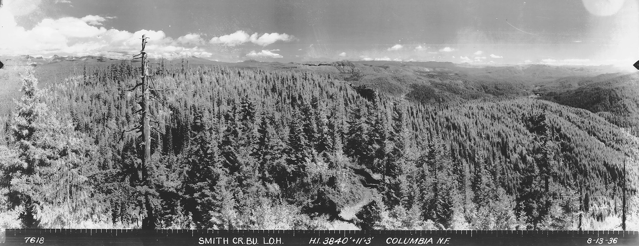
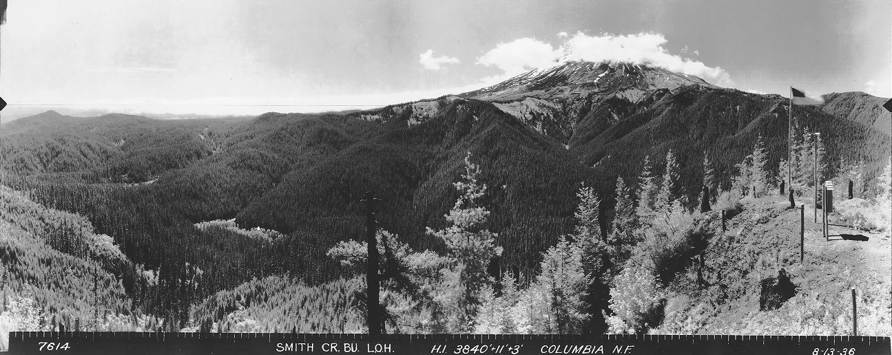
In 1936, panorama photos were taken from 11 feet above ground, plus three more feet for the tripod. A visitor kiosk is visible next to the flag pole.
In 1937, the USGS placed a station mark on the lookout tower.
In 1946, the first lookout was dismantled and rebuilt about 30 feet North of the original position. The new tower was a 20-foot timber tower with an L-4 cab on top.
In 1947, an article written in THE FOREST LOG gives us the following history about Smith Creek Butte Lookout: K.P. Cecil, supervisor of the Columbia national forest, states that a recent experiment in transporting building materials by airplanes to the site of a lookout was so successful that it is likely to be used throughout the northwest where such contemplated improvements are in isolated sections of the country. The total weight of the lumber and other materials was placed at 4,000 pounds and it had to be transported to an isolated butte six miles east of Mount St. Helens. The airplane performed the work in short order and all the bundles were recovered. It would have required 25 pack horse loads to transport the material overland.
In 1953, the USGS visited, noted the change in location, so they then gave the new lookout the station mark SMITH CREEK LOH 2 as the original station mark they set in 1937 on the first lookout structure was now gone.
In 1964, the USGS checked their station mark by helicopter. No mention of structure removal.
In 1968, the second tower and cab was removed or destroyed.
Lookout Elevation: 3,809 feet (historic 3,840 feet)
Hiking/Biking Distance Each Way: 8 miles biking, 1/2 mile hiking (North Route)
Elevation Gain: 800 on way in, 800 on return
County: Skamania
Access: Paved Road (visited 2023)
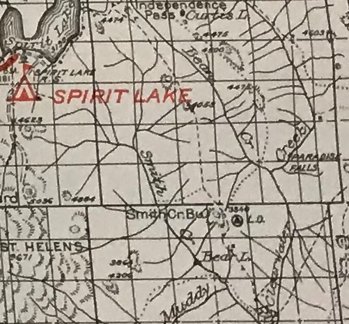
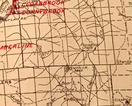
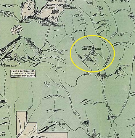
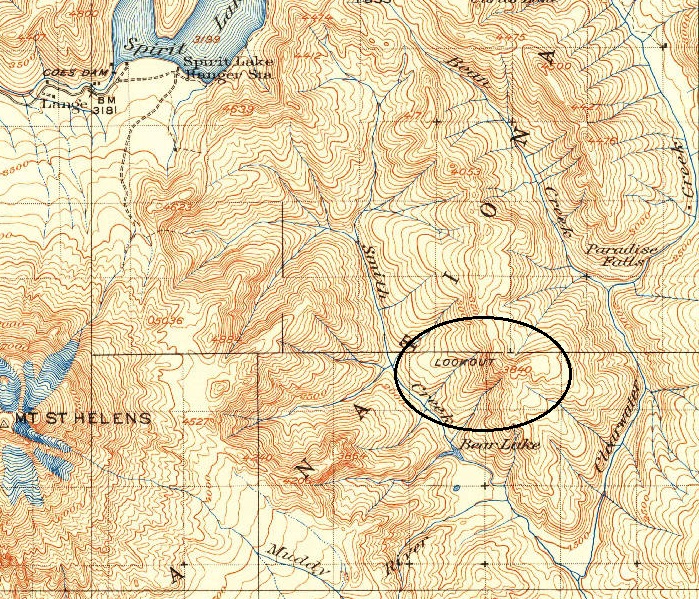
1936 recreation guide
1943 USGS
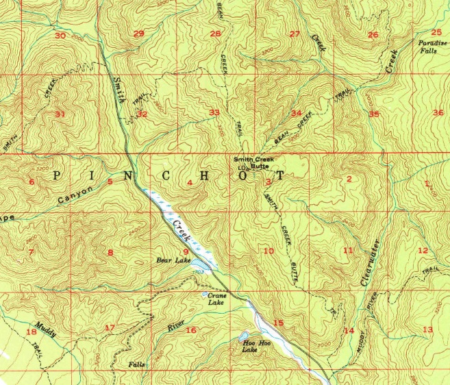
1958 USGS, 1968 updated. Shows three different trails to reach the lookout
1940 Columbia National Forest Map
1932 Columbia National Forest Map
Looking North, August 13, 1936
Looking Southeast, August 13, 1936
Looking Southwest, August 13, 1936
Visitor kiosk and flag pole.
Lookout History:
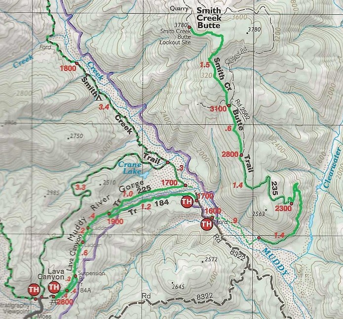
There are two ways to access. Biking from the North on a gated road is around 8 miles with a short bushwhack once you hit a quarry. Scramble up the quarry to the top where an overgrown old road leads over a bump to the higher summit bump. From the South, starting at the Smith Creek Butte Trailhead, you would have to ford Muddy River but then the Smith Creek Butte Trail should exist going 5 miles to the lookout site. The last half mile definitely exists.
Access:
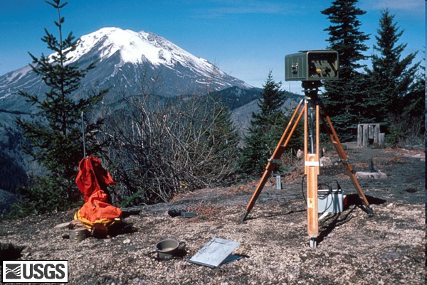
USGS Geodimeter station (EDM) set up at the Smith Creek Butte Lookout site just before the eruption. Photograph taken on April 25, 1980, by Peter Lipman.
Located at the edge of the blast zone, the summit area of Smith Creek Butte survived the destructive blast that leveled the forest. Approaching from the North, the entire bike ride is in newly growing forest but you can see many hillsides still struggling to grow anything. This is mostly a bike trip with many good views of Mt. St. Helens in an area that has few visitors.
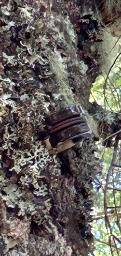
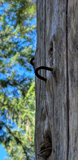
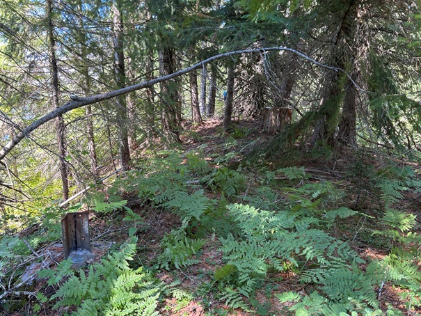
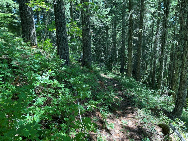

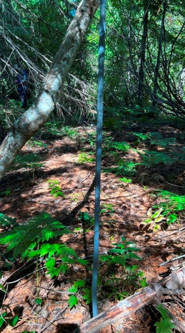
Phone insulator on the old trail
Nails in tree for phone line
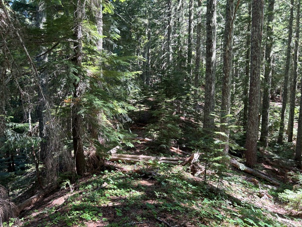
Trail on the ridge in route to the lookout
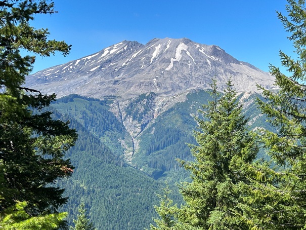
St. Helens from the rock outcrop visible in the 1936 Southeast Panoramic (see bottom).
Looking West from second tower site toward flagpole area on panoramics
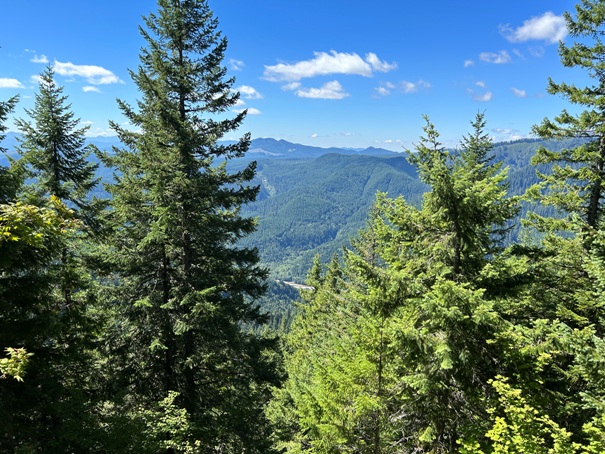
The only view left at the lookout site, down a hill about 10 feet
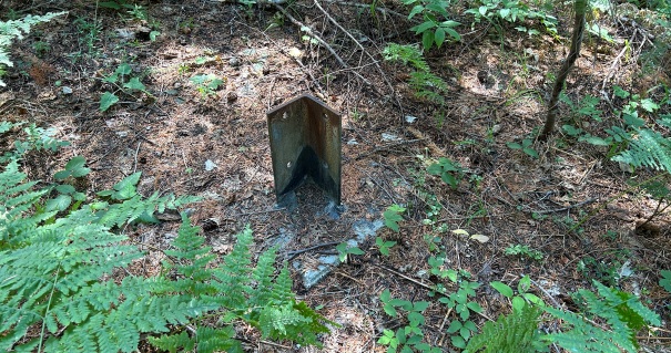
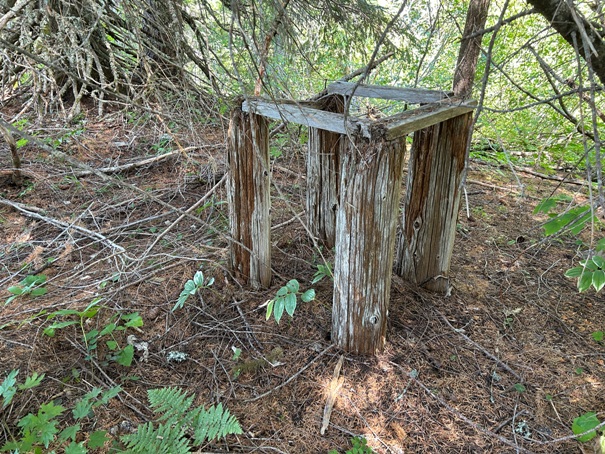
Remaining stand of some kind at the site
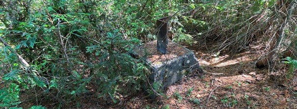
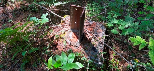
Eyebolt
From the top of the quarry looking North
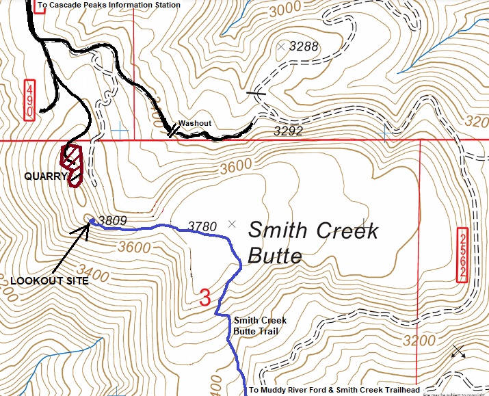
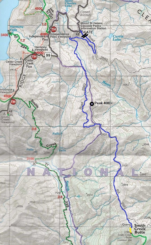
Access from the North
Location of lookout site
Access from the south route requiring a ford over the Muddy River.


