WillhiteWeb.com
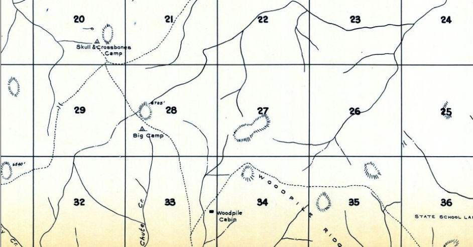
Skull and Crossbones Ridge was reportedly the site of a short battle between sheepherders and cattlemen in the early 1900s. The fire lookout constructed in the 1930s is what the ridge is most known for now. This location started with the Skull and Crossbones Camp at the north end of the ridge, about a tenth mile north of where the cab was eventually built. The camp was used in conjunction with Big Camp about a mile to the Southeast. Although Big Camp (also known as Big Hill/Woodpile) was higher, the lookout structure was built on Skull & Crossbones, probably because of road access.
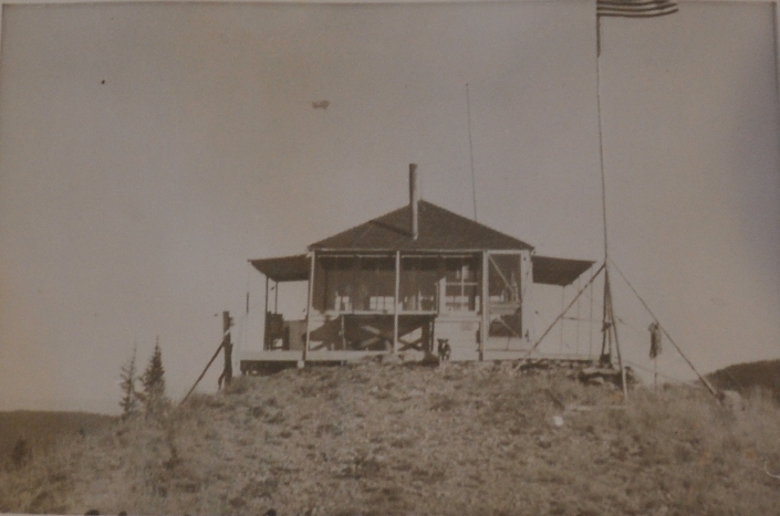
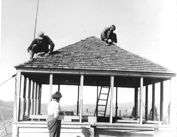
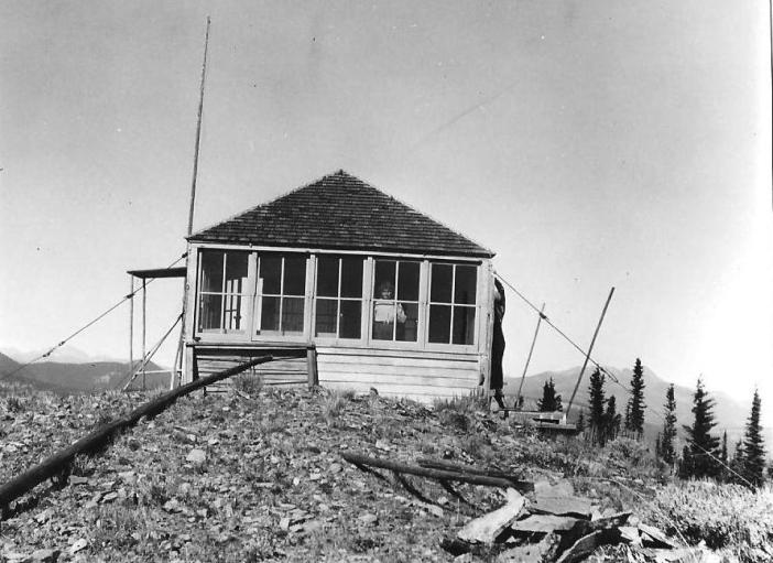
In 1932, the ground L-4 cab was constructed. In an article in the Wenatchee Daily World on August 15, 1932, we read “Having completed construction of a number of lookout houses, including one on Skull and Crossbones above Loomis, E.W. Allen and Raymond Johnson are spending a few days in town."
In 1933 the lookout was Dick Loudon. An article in the newspaper said he and the Aeneas lookout had left for training camp in June.
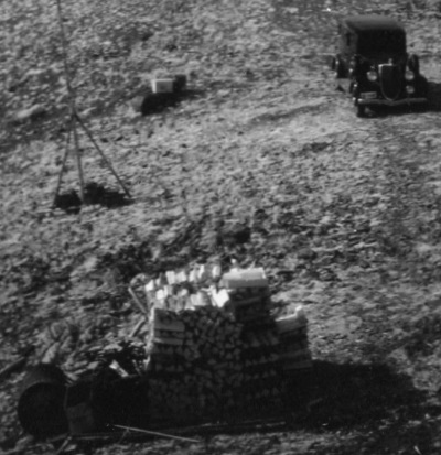
In 1934, panoramic images were taken at 15 feet above ground from the roof of the lookout. A vehicle is seen in the images. The lookout was M.F. Gadberry in 1934 and 1935.
In 1953 the lookout was sold and moved by helicopter to Horseshoe Basin.
Lookout Elevation: 6,500 feet
Hiking Distance: Half mile or less
County: Okanogan
Access: Fair roads to the last 1.5 miles.
Skull & Crossbones Lookout Site
Skull & Crossbones Lookout in 1942

Looking North 1934

Looking Southeast 1934

Looking Southwest 1934
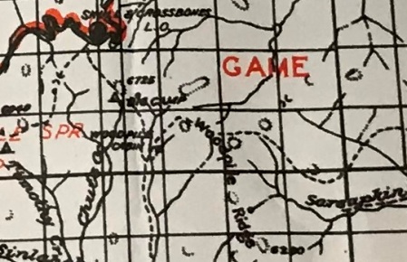
This 1934 Metsker map shows both camps. These maps tend to not show the camp symbol (or trails) right on the summit knob symbols.
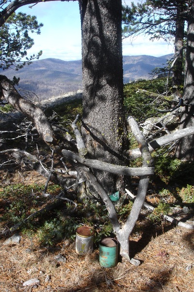
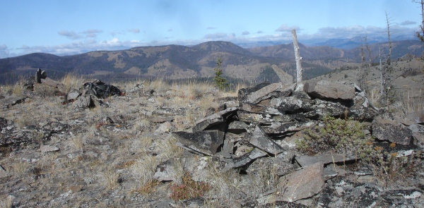
Woodpile in the North pano
Right edge of the SW pano
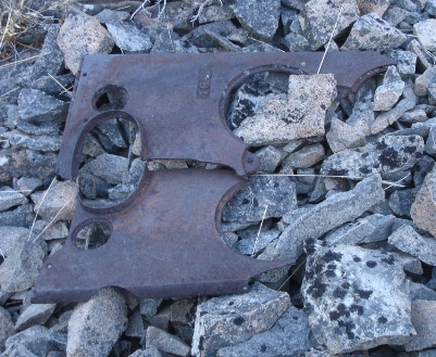
Stove parts and cans
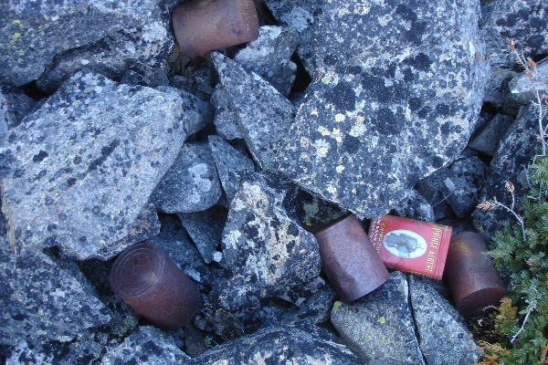
Cans. The tobacco can still had tobacco inside
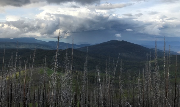
Storm to the north
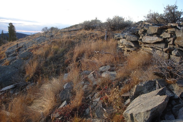
Lookout site wall still standing
1938 Conconcully area map showing Skull & Crossbones LO, and Big Camp
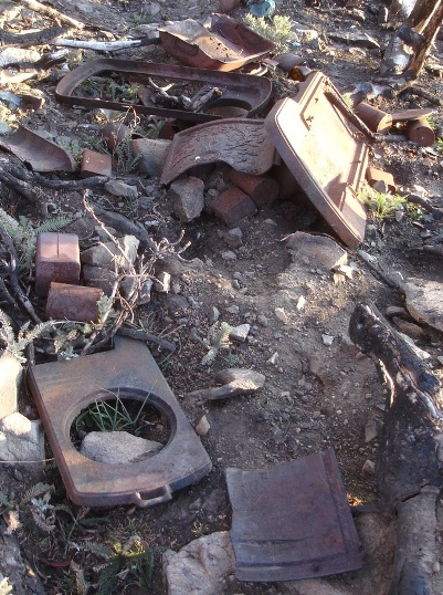
More stove
Cans and wood

Access:
Route:
A long 20-mile approach through the Loomis State Forest is required to reach this site. Roads are constantly changing, being abandoned, and washing out. In general, the approach uses the South Fork Toats Coulee from the north, then west. Use aerial photos to plan your route, all maps are out of date for this area. If using the approach from the road that drops down from Forest Road 39, it was in bad shape in 2020, only high clearance should do it.
The final road the climbs the mountain to the summit is abandoned and not drivable near the top. You can easily hike the road or hike the hillside on the east side at the road highpoint. Even hiking from the base would only add 1.5 miles.
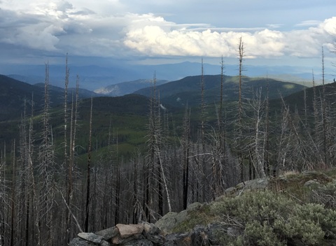
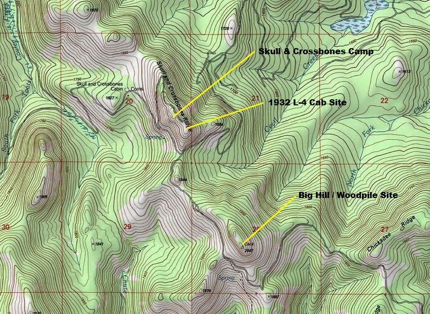
Near the camp area further west
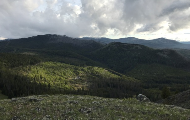
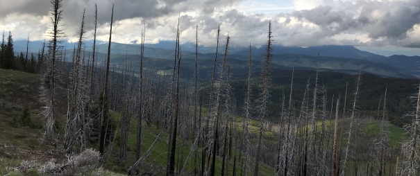
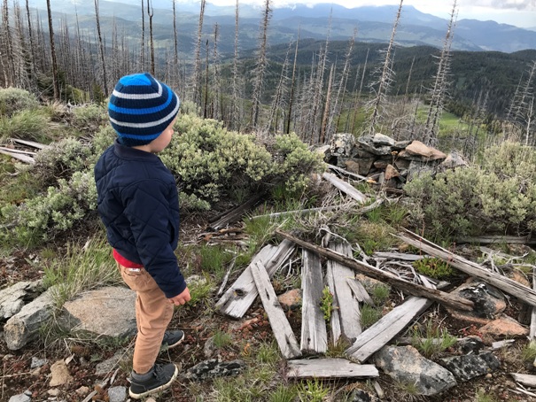
Wood and rock wall at lookout site
Looking Northwest
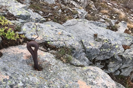
Anchor point
Looking East toward Big Hill/Woodpile
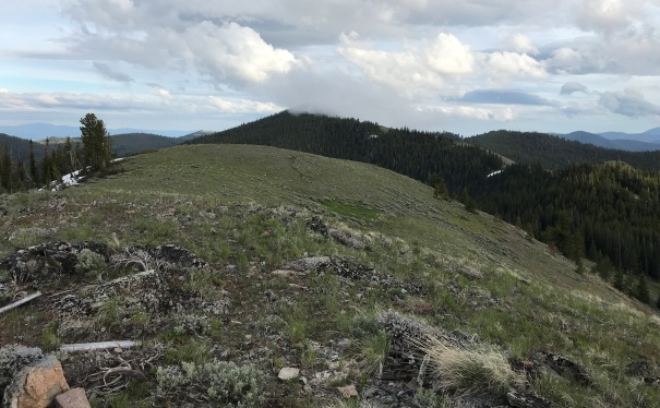
Skull and Crossbones Ridge
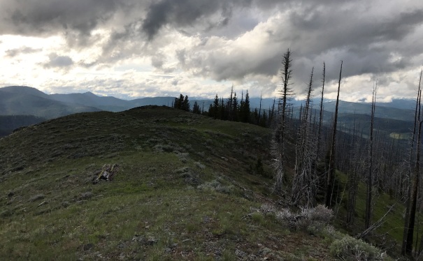
Looking NE
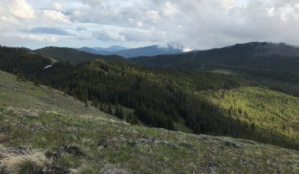
Looking South
Looking Southeast
Purchased August 8, 1953


