Skookum Peak Lookout Site
In 1937, a 10-foot pole tower with a L-4 cab was built. The tower was abandoned in the 1950s.
Lookout Elevation: 3,261 feet
Hiking Distance: 0.4 miles
Elevation Gain: 900 feet
County: Pend Oreille
WillhiteWeb.com
1936 USGS (1956 update)
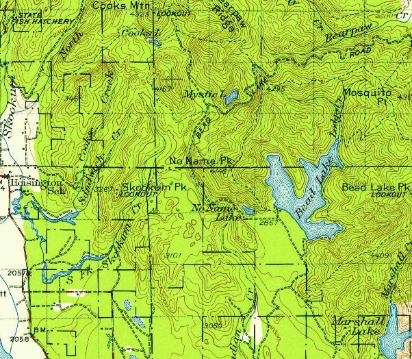
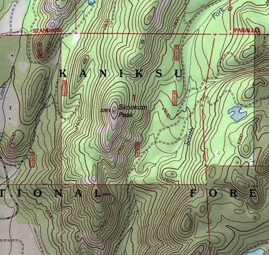
The access is tricky as private property is scattered around the mountain, but the mountain itself is public land. The road from Bead Lake Road passes through private parcels and is blocked by a gate and some trespass signs. But from the south, the Forest Service has some non-promoted access through a sketchy section of private homes…that was how I got to the base. I will leave it vague since I will inevitably get a nasty email from a homeowner.
Access & Route:
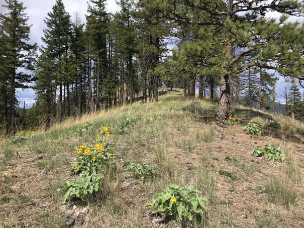

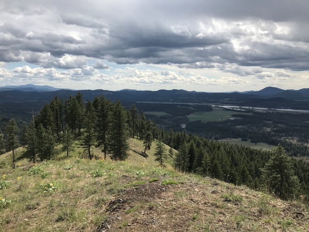
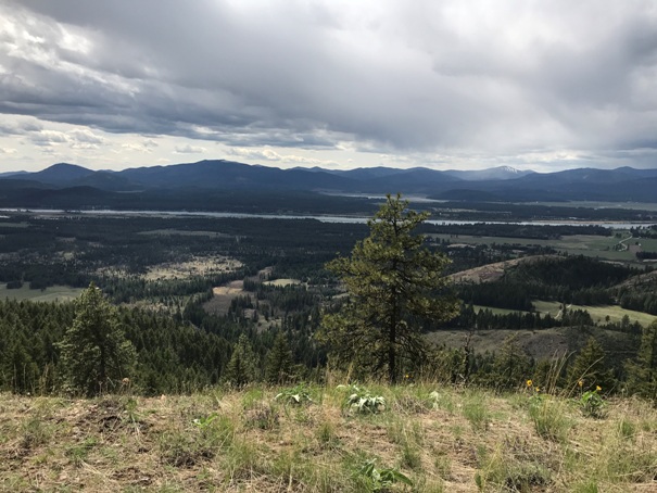
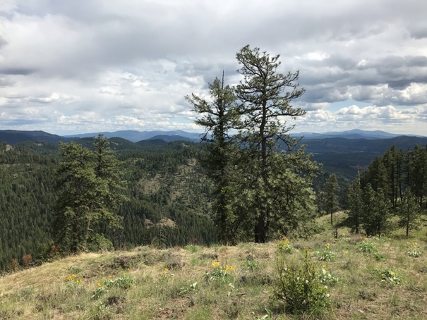

On the ridge nearing the summit
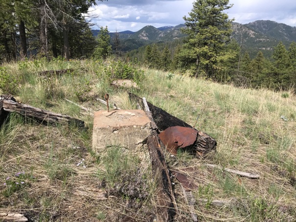
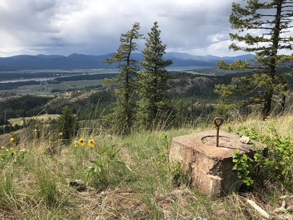
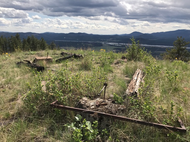
Footings with view
Footings with view
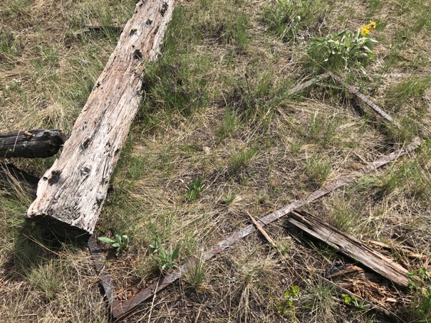
Footing and bed frame one
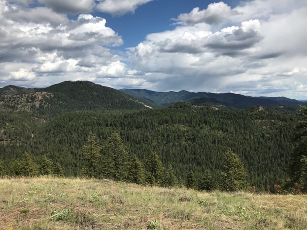
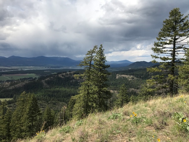
View south with Mount Spokane in distance on left
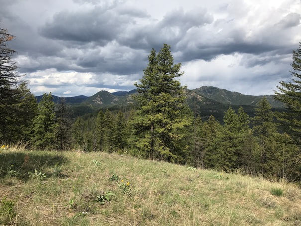
Looking Northwest
Looking Northeast
Looking East
Looking Southwest
Looking Southeast
Bed frame two
Maybe the stovepipe
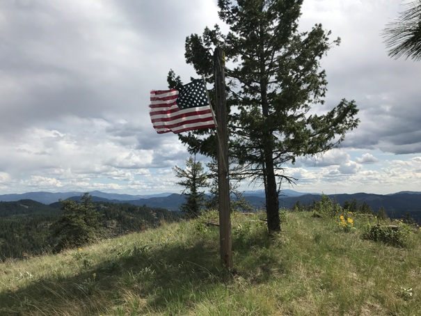
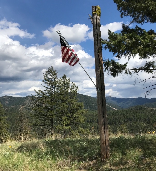
Flagpole or telephone pole still standing
New improvement was added
I found the flag blown on the ground but quickly grabbed the pole and put it back in place
USGS with Skookum, sorry no route to show as not to cause issues with neighbors


