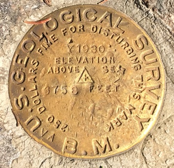
Shedroof Mountain Lookout Site
In 1915 there was a camp.
In 1918, a log cabin was added just south of the summit.
In 1926, a cupola cabin was built on the summit.
In 1938, a 30-foot pole tower with L-4 cab was built. Removed in the 1950's.
Lookout Elevation: 6,764 feet
Hiking Distance: 4 miles (from north trailhead)
Elevation Gain: 1,100 feet
County: Pend Oreille
Visited: 2022
WillhiteWeb.com
Shedroof Mountain Lookout
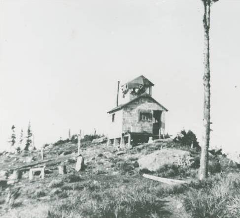
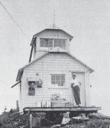
From: Fire Lookouts of the Northwest (Kresek)
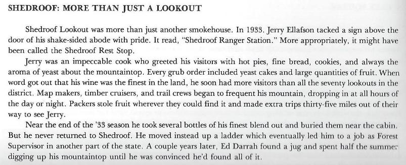
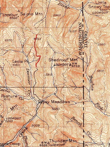
1942 USGS, 1958 update
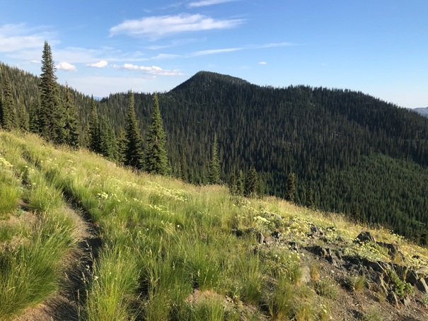
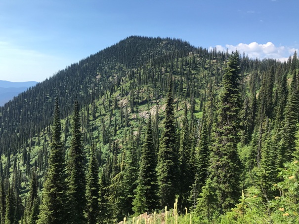
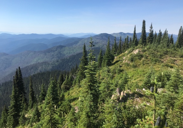
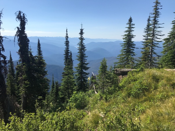
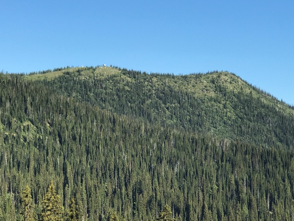
Your first view of Shedroof Mountain when coming from the north
Shedroof from the PNT on the Idaho/Washington boundary
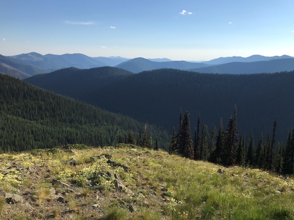
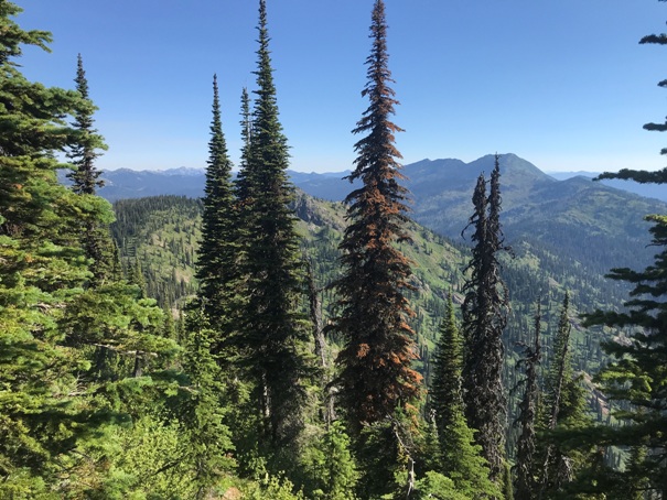
Looking to Snowy Top Mountain from Shedroof (I hiked to that summit on this trip)
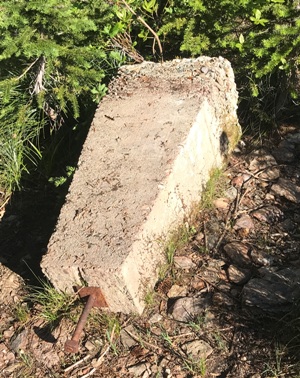
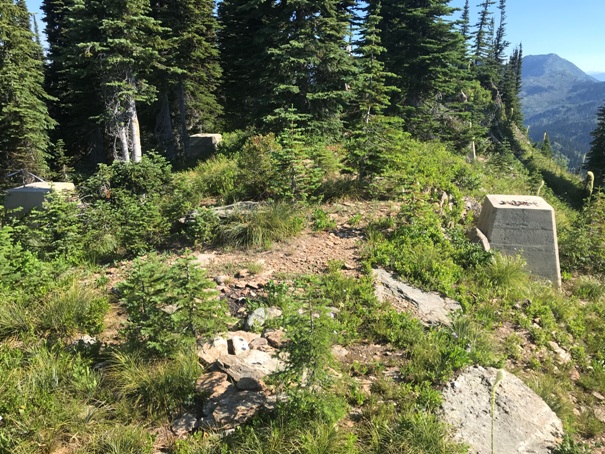
The four footings from the 1938 pole tower lookout
Looking East from the summit
Looking SE
Looking South
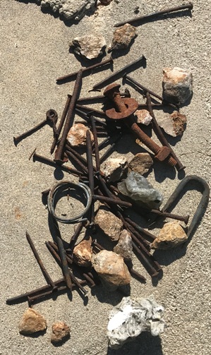
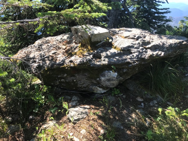
Footing from the 1926 cupola cab
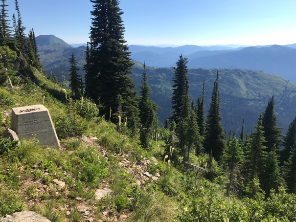
Summit Benchmark
One of the cupola footings in a rock
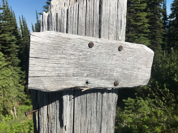
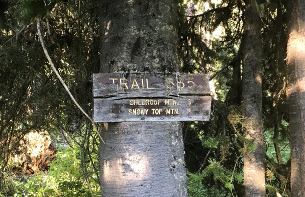
Old trail sign showing Shedroof Mountain 3 miles, Snowy Top Mountain 8 miles
Old summit sign giving the elevation
In route to Shedroof Mountain
Near the start, you can look up at Salmo Mountain and the standing lookout on the left point
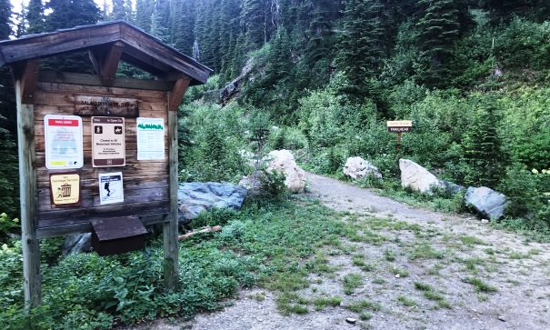
The trailhead. The first mile beyond this sign is the old road, now the trail.
Access:
From Metaline Falls, drive north on Highway 31 for 2.1 miles to Sullivan Lake Road. Turn right and drive 4.9 miles to FR #22. Take FR22 for half a mile to a three-way fork. Take Road #2220 for 13 miles to end.
Route:
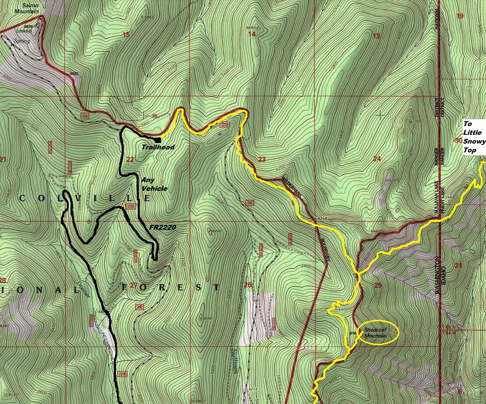
See map below. Trail the whole way. Final spur trail is not signed.


