
Scar Hill Lookout Site
WillhiteWeb.com
Said to be a tower in the 1930s and abandoned in the 1940s. Lookout site not on the Kresek Inventory or in Fish/Spring book, but on firelookout.com. Unknown source. Unknown where the lookout was specifically at but the summit is not too large. There is a benchmark on the summit but it was placed well after the lookout years.
Lookout Elevation: Around 933 feet
Hiking/Biking Distance: 2 miles one-way
Elevation Gain: 800 feet
Access: Paved road, Weyerhaeuser Aberdeen Permit
Access:
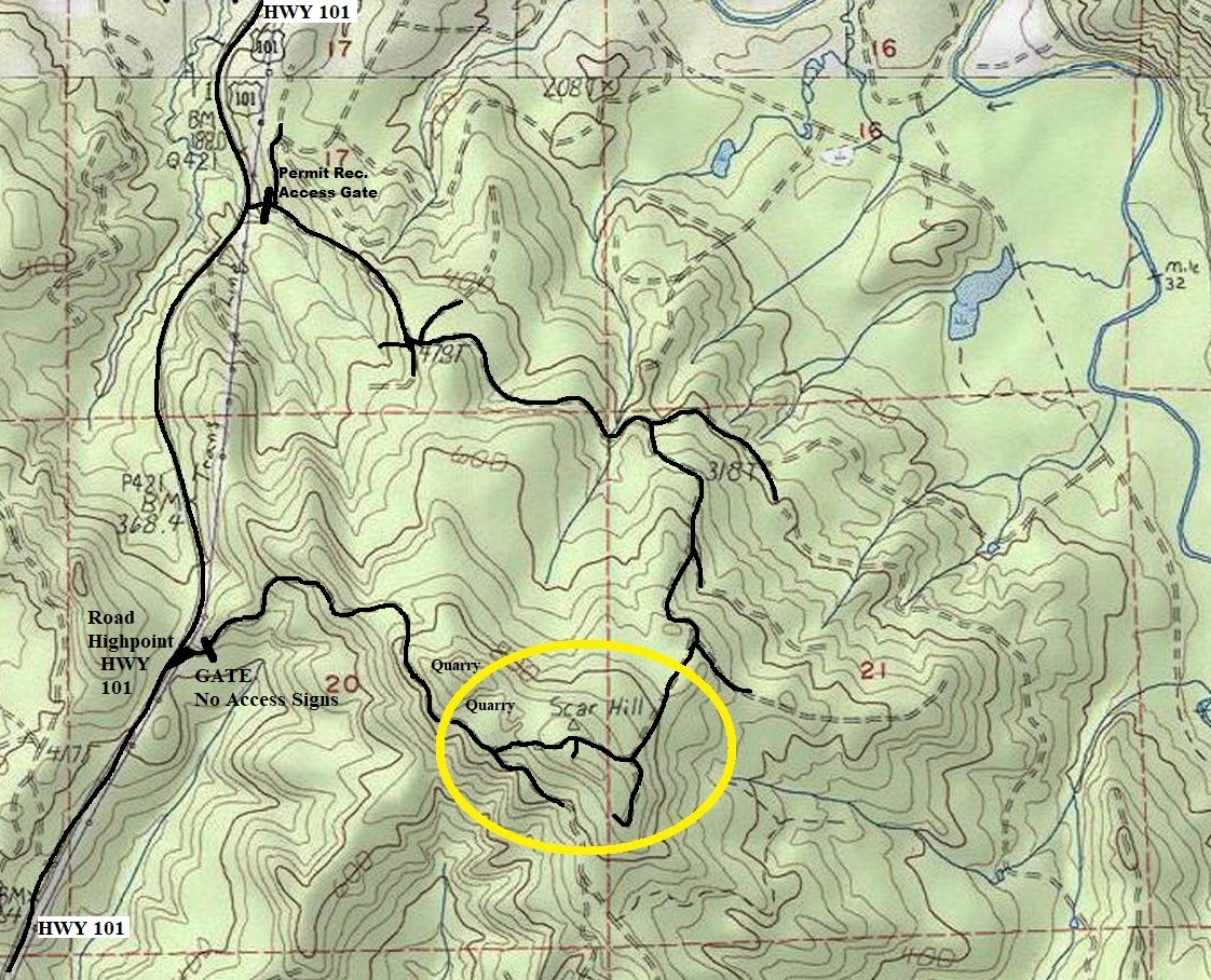
The most direct route right off the highway is heavily signed No Trespassing, even for permit holders, due to an active quarry. The recreational access point with a permit is a gate to the north.
Use map. Good roads, sometimes quite steep, take you to the top.
Route:
Scar Hill as you approach the old Hobi Lookout Site
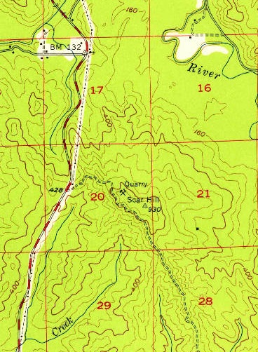
1955 USGS shows quarry and benchmark
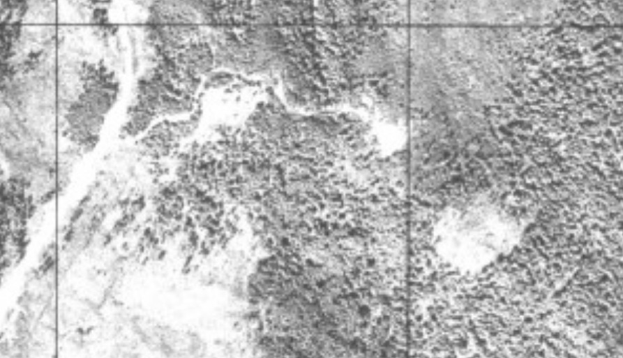
1944 aerial view over Scar Hill. Shows road from the highway going to the quarry area.
Use the northern access shown on this map.
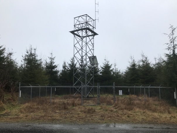
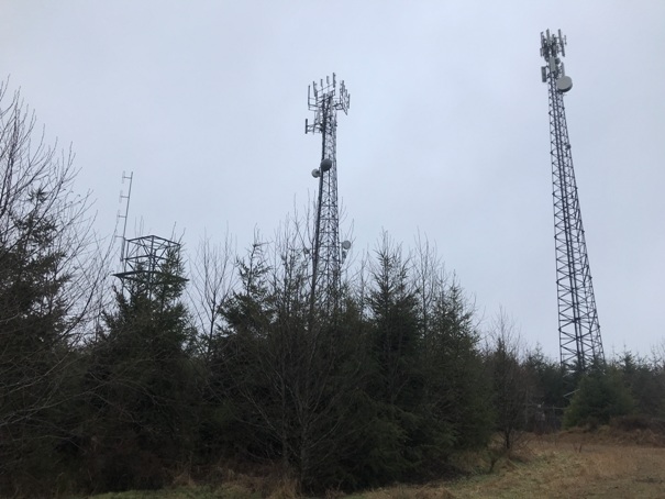
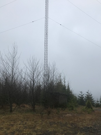
Summit benchmark area in February 2021 with 3 communication structures.
Tower on the south side of the summit area
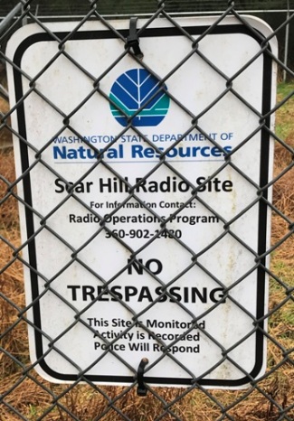
DNR Scar Hill Radio Site
DNR Scar Hill Radio Site sign
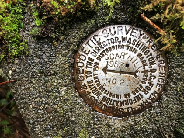
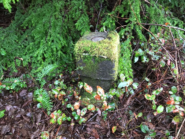
I found the directional No 2 BM but missed the main station benchmark.
No. 2 directional benchmark


