Rogers Mountain Lookout Site
In 1933, a USGS party noted that the Forest Service was improving the roads and looking to cut a trail to the top of the mountain. There was no structure during their visit.
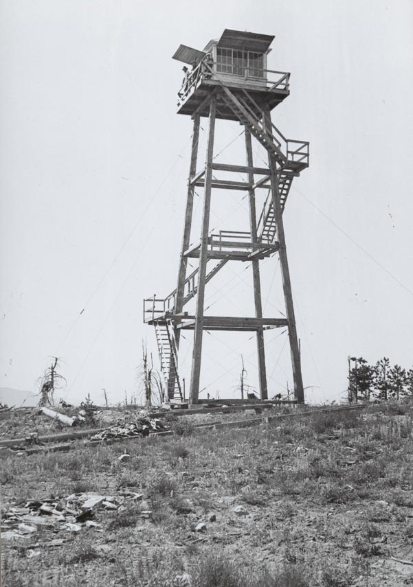
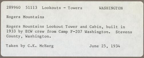
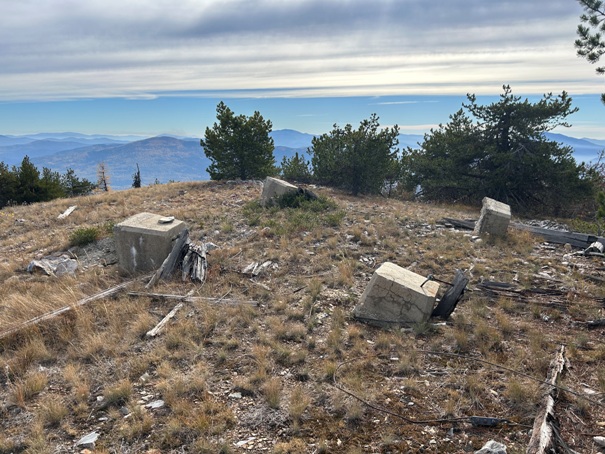
In 1934, a 45-foot pole tower with L-6 cab was built. Early in the season, the Colville Examiner reported that “Work has started on establishment of a spike camp on Rogers Mountain. A look-out is being established on this peak and there is considerable trail building to be done.” The work was done by Forest Service and CCC.
In 1936, a USGS survey party recorded the Mt. Rogers Lookout at the end of the road.
In 1947, a USGS survey party recorded the end of the road was a ranger cabin and the benchmark was at the highest part of the hill near the Rogers Mountain Lookout.
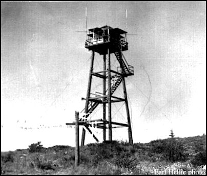
In 1950, the lookouts were Mr. & Mrs. Vern Hellie.
In 1951, the lookouts were Mr. & Mrs. Earl Hellie.
In 1952, the lookouts were Mr. & Mrs. Z. Heilman.
In 1953, the lookouts were Mr. & Mrs. Glen Goddard.
In 1954, the lookouts were Mr. & Mrs. Robert Dewey.
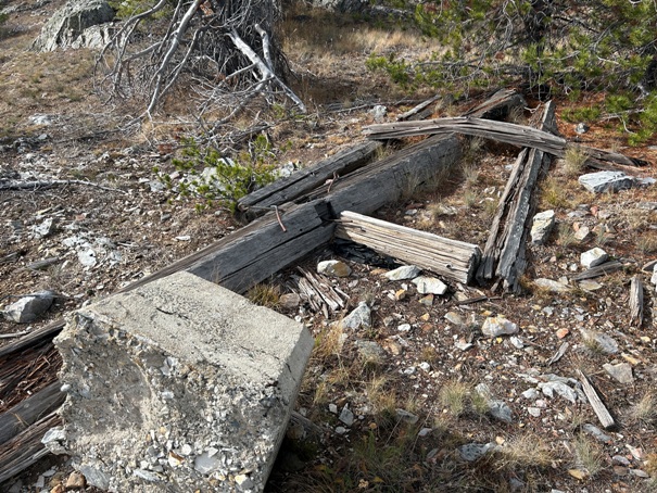
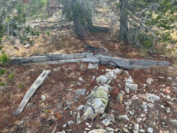
In 1959, the Rogers Mountain lookout blew down. It stood above the Van Stone mine.
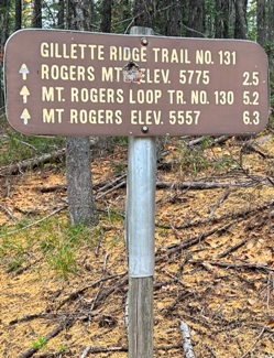
Summit Elevation: 5,775 feet
Hiking Distance: 2.5 miles each way
Elevation Gain: 1,166 feet
Prominence 3,015 feet
County: Stevens
WillhiteWeb.com
Rogers Mountain in 1950
Lookout History
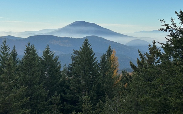
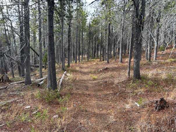
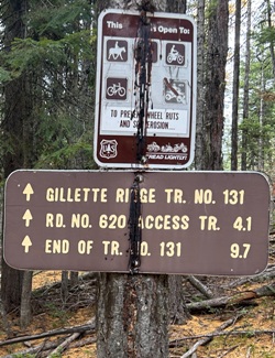
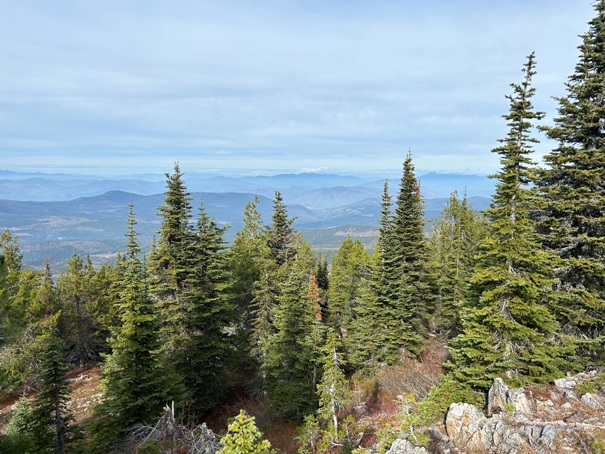
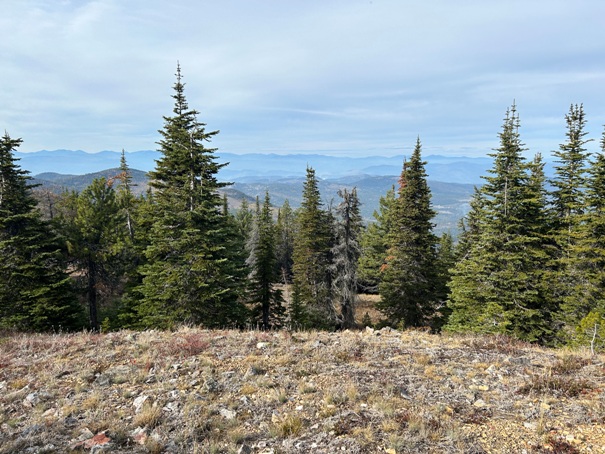
In a region with few hiking trails, Rogers Mountain offers some fairly long multi-use trails. If you are like most people I know, your goal is the top of the mountain. To reach the highest point, start at the official Mt. Rogers Trailhead. There are some really good views on the way up whereas the summit only has views in certain directions.
Access
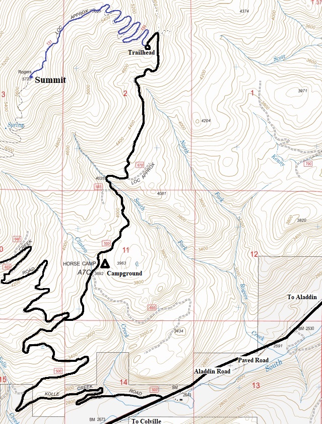
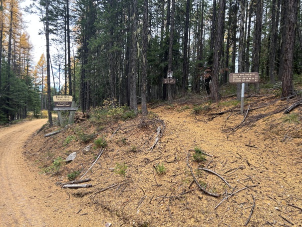
From Colville, take the Aladdin Road to the Kolle Creek Road (FR 500). This is a decent forest road that winds its way up to the trailhead. Take a right at the only major Y intersection and go past the campground. The road now ends at the trailhead. At one time, it went all the way to the summit. The trail even crosses the old road near the summit.


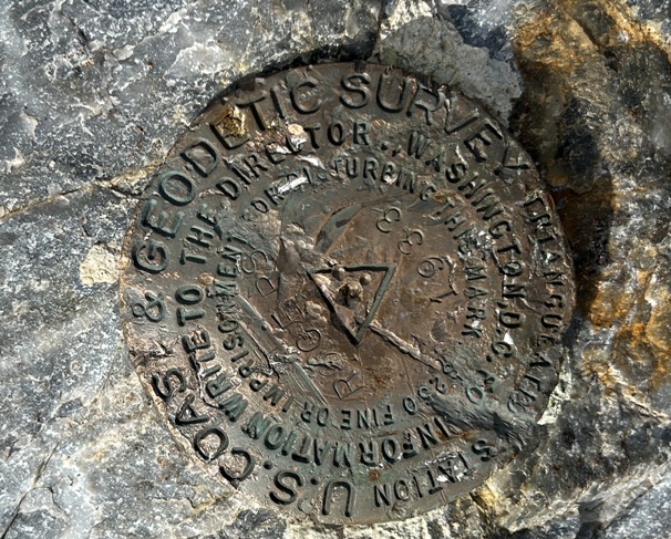
Rogers Benchmark 1933
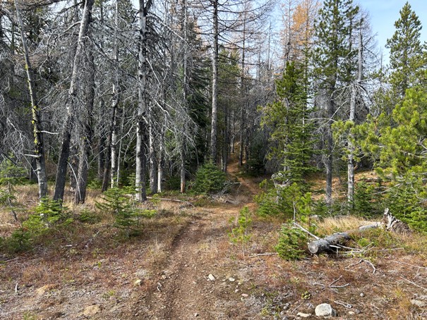
Rogers Mountain Trail
Rogers Mountain Trail
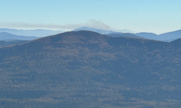
Late season fire
Footings at the summit
Looking NW
Looking north
Trailhead with larch needles covering road and trail
Some of the tower is still up there
More tower parts


