Getting Permission
Route:
The Pysht Tree Farm, located on the North Olympic Peninsula and purchased in 1886, is the oldest tree farm in Washington State still operated by its original owners.
Pysht Lookout Site
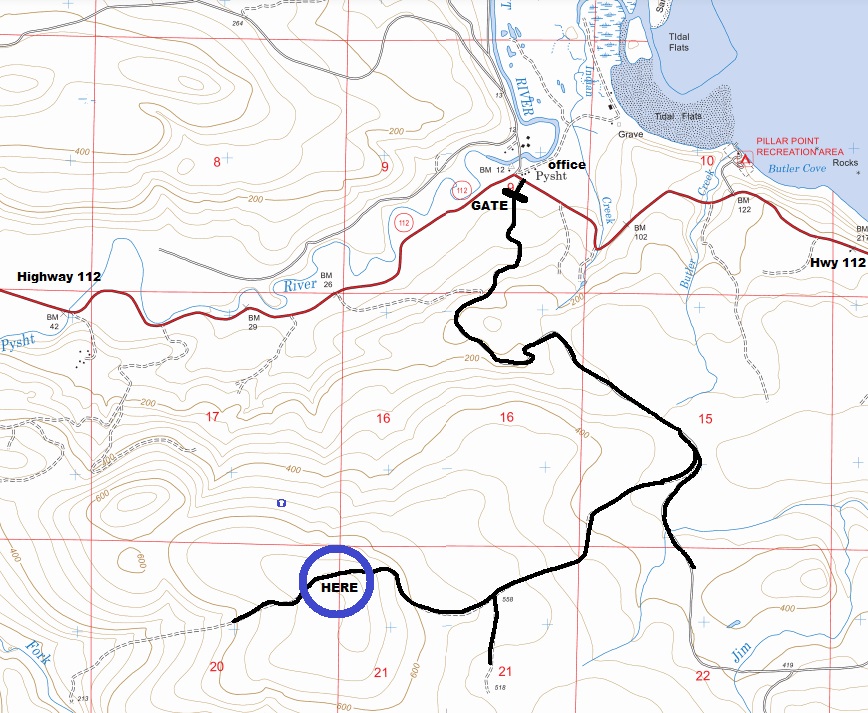
There is a gated maintenance entrance at the community of Pysht. Signs at the gate say to sign in at the office on the north side of the street. At the office, on the front porch was a sign-in box. It was hard to tell but I think you need a hunting permit to have official access. If the office is open, I would guess they would give you permission to walk or bike inside the gate if you asked.
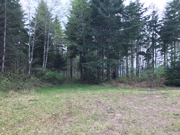
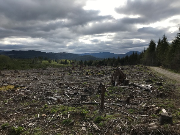
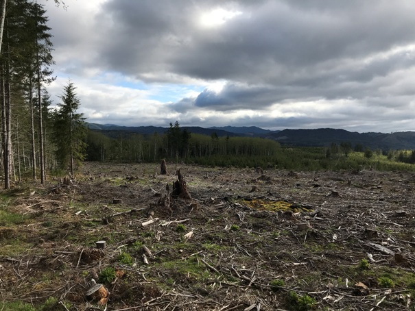
Roads will take you all the way to the site. On both sides of the summit area, recent harvests allow for some great views. At the summit is a large open area where nothing is growing. A previous lookout group was given a tour of this area and told this is where the buildings resided.
Lookout Elevation: 730 feet
Hiking/Biking Distance: 4 miles one-way
Elevation Gain: 700 feet
Access: Permission needed but paved to gate
WillhiteWeb.com
Lookout History
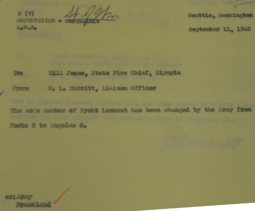
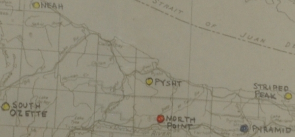
In 1942, on a list of State lookouts, Pysht Lookout is listed as a Cowan Type with a 20-inch firefinder. A Cowen type is a 2-story 10x10 cabin that Kresek often calls a “smokehouse”. By September of 1942, Pysht was used by the Aircraft Warning Service. AWS documents confirm it utilized an existing structure owned by the State of Washington. The AWS did construct a 14 x 32 cabin, the standard sleeping quarters kept separate from the lookout tower. At the end of service, the AWS structure was retained by the State.

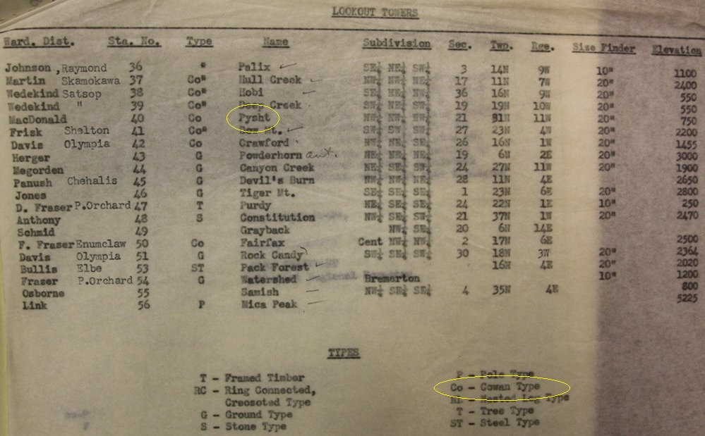


List of DNR lookouts in 1942
AWS document
AWS Map
Pysht State State Existing Station Retain after war for the State of Washington 14x32 cabin built with AWS
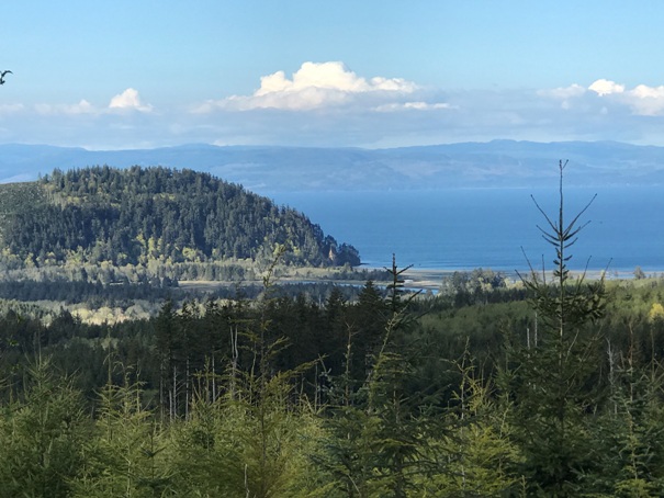
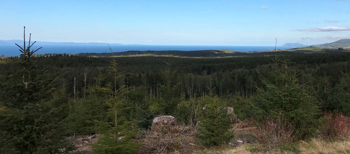
Pillar Point
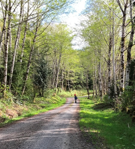
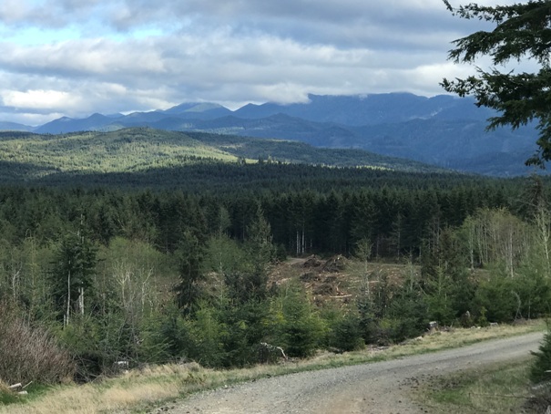
Walking the road
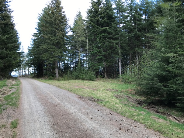
Looking East from just before the top
Mt. Muller area
Open area at the summit
Open area at the summit
Clearcut on West side of the summit
Clearcut on West side of the summit
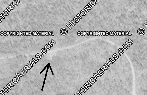
1952 aerial shows the open area at the summit
Map of roads taken to reach the top from the office


