WillhiteWeb.com
The Kresek Inventory lists Oval Peak as having an L-4 cab in 1940 that was destroyed in 1950.
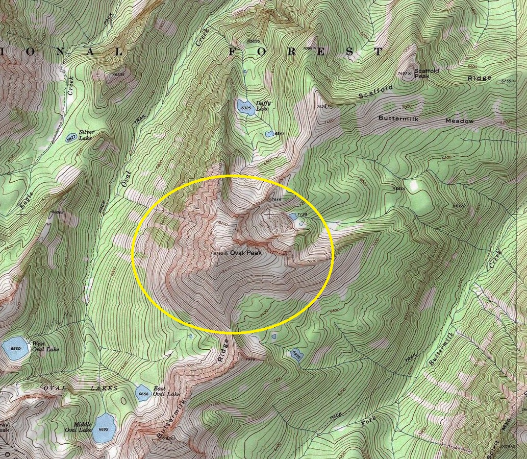
I have not found one map showing a lookout or a trail to the top of Oval Peak.
I am suspect of the structure ever being there but I have no doubt the Forest Service could have sent someone stationed up on top at one point or another.
Elevation 8,798 feet
Hiking Distance: TBD
Elevation Gain: TBD
County: Okanogan
Oval Peak Lookout Site
Location of Oval Peak
Looking North
Looking Southeast
Looking Southwest

