No Name Peak Lookout Site
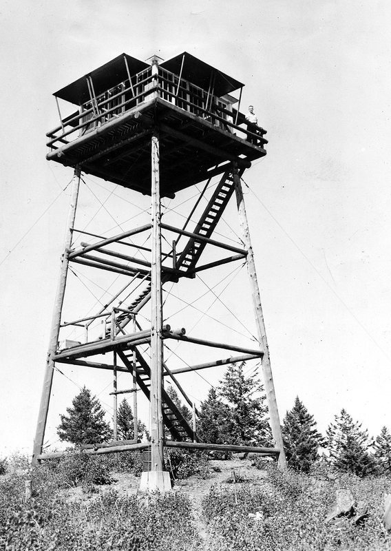
In 1935, a 40-foot pole tower with an L-4 cab was built.
In 1955 the tower was destroyed.
Elevation: 4,142 feet
Hiking Distance: 1.8 miles one-way
Elevation Gain: 1,200 feet
Prominence: 222 feet
Access: Any vehicle
WillhiteWeb.com
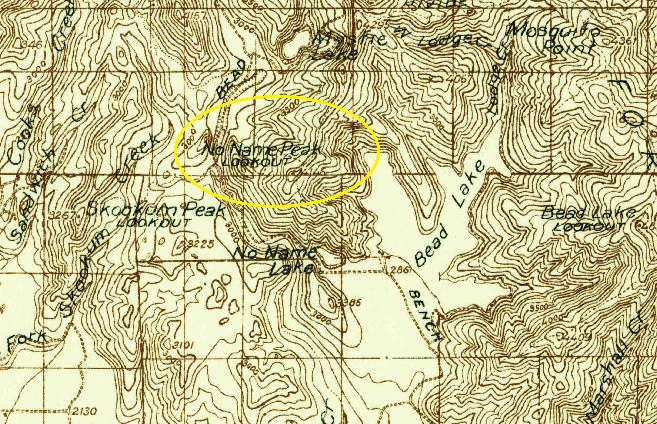
1936 USFS map
No Name Peak Lookout in 1940
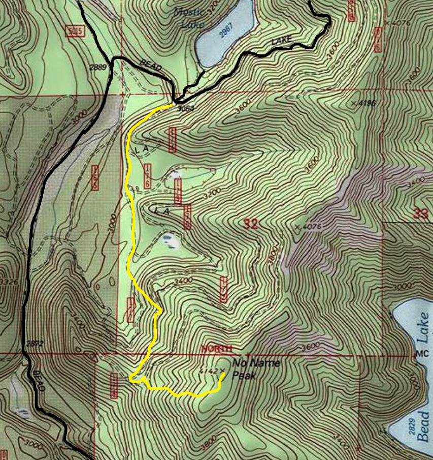
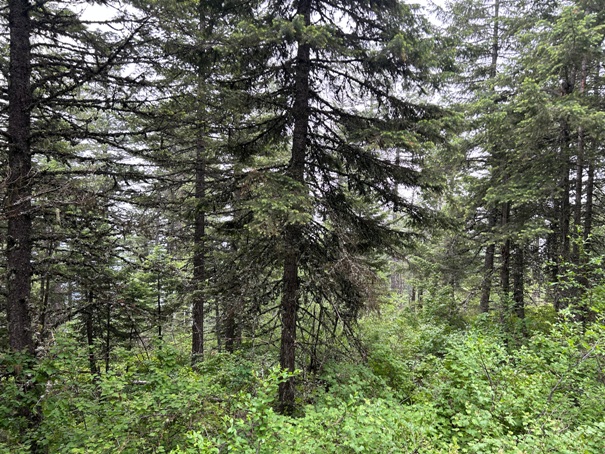
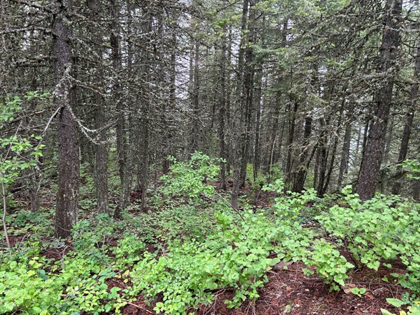
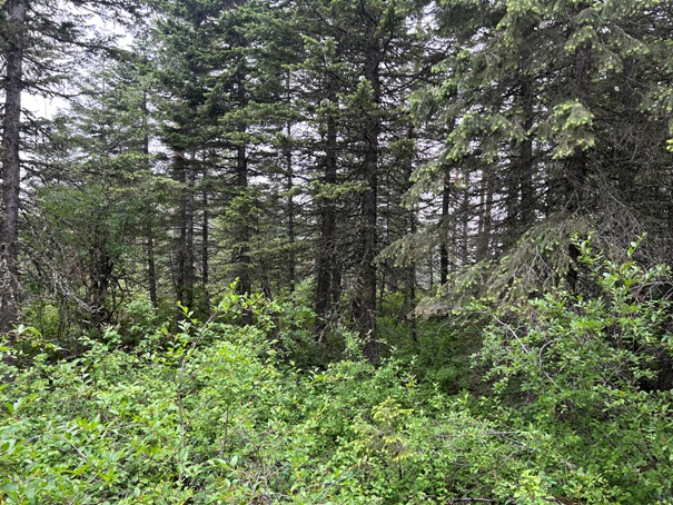
The route I took was from Mystic Lake. An old abandoned and overgrowing road leaves across from the entrance to the lake. Follow the old road around a few ridges to a open forest good for climbing. If you hit a home site backyard, you went too far and might get shot. Up the hillside, hit an old road and take up to a ridge, then a fairly good open forest ridgeline to the summit. Some patches of brush along the way. Other routes possible, good luck. My map shows the general idea of the route I took.
Route and Site Information:
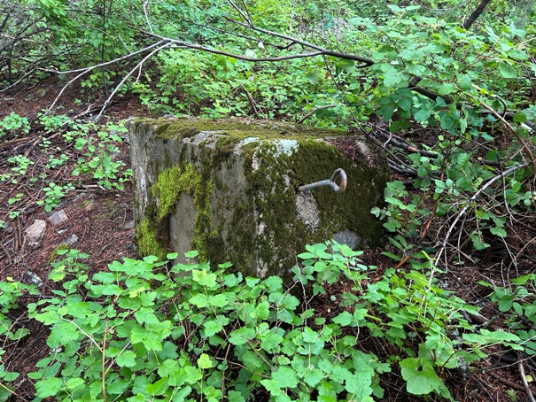
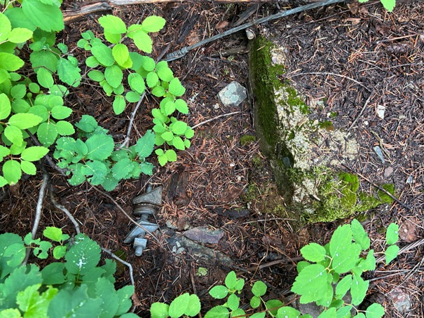
Footing on its side
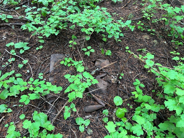
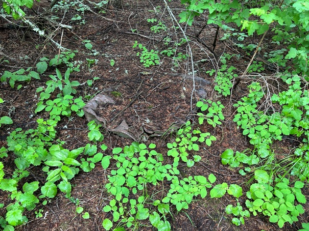
Bucket or something
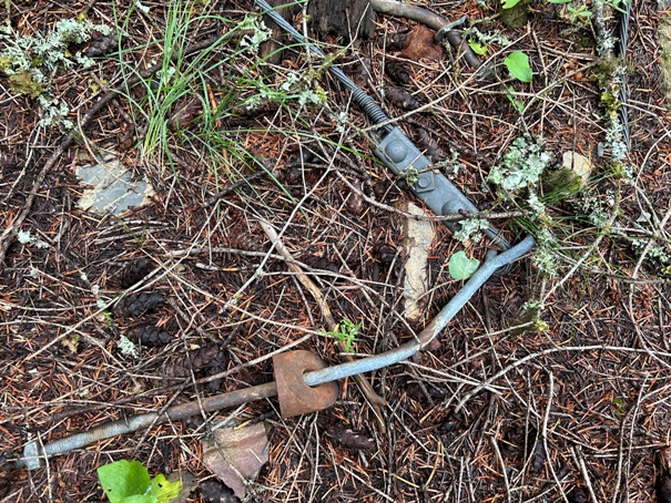
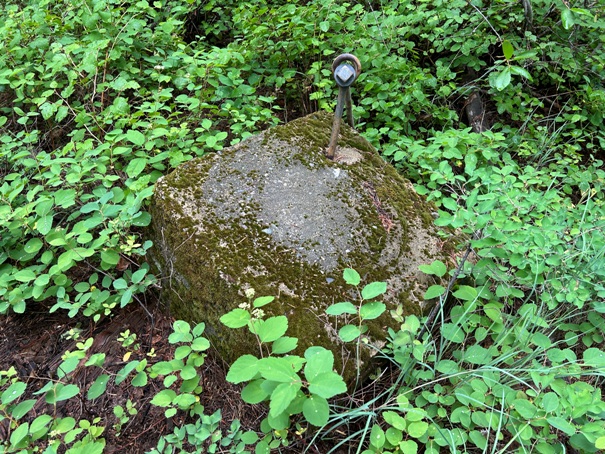
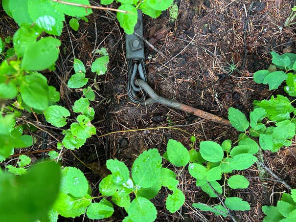
Anchor
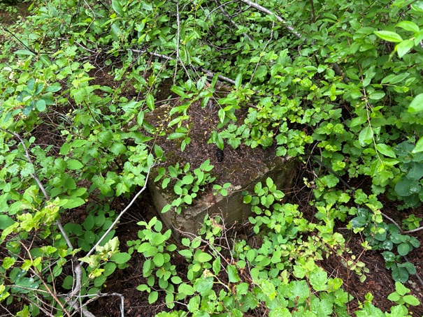
Footing
Anchor
No views at the summit in 2023
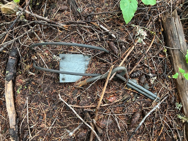
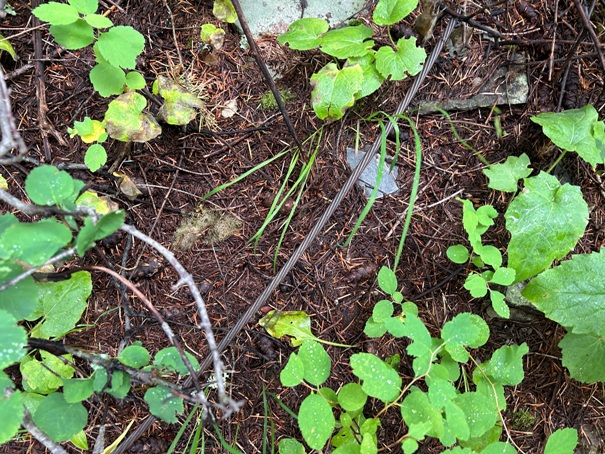
Cable and glass


