

WillhiteWeb.com
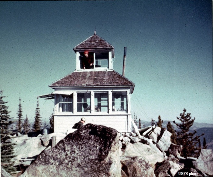
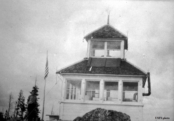
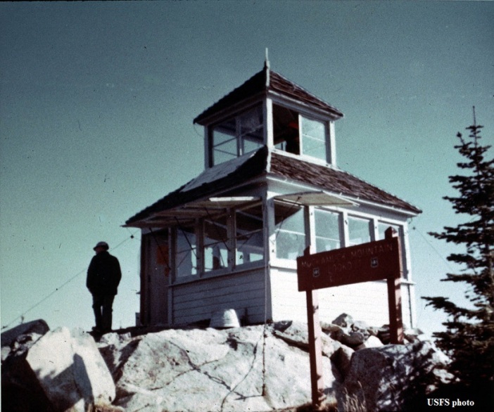
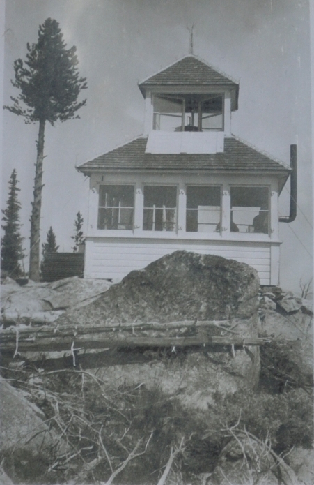
In 1922, a D-6 cupola was built.
In 1924, the lookout was Bert Julian. A newpaper says he was able to pick up wireless messages on his radio set from as far east as Maryland and west to the Philippines.
In 1930, panoramic images were taken from the cupola second story windows.
In 1974, the D-6 cab was destroyed after 52 years.
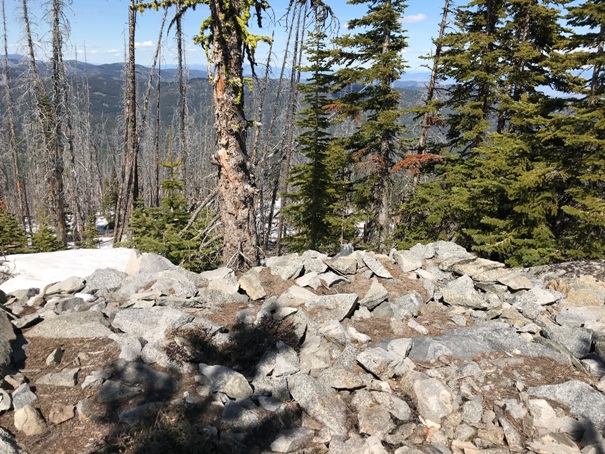
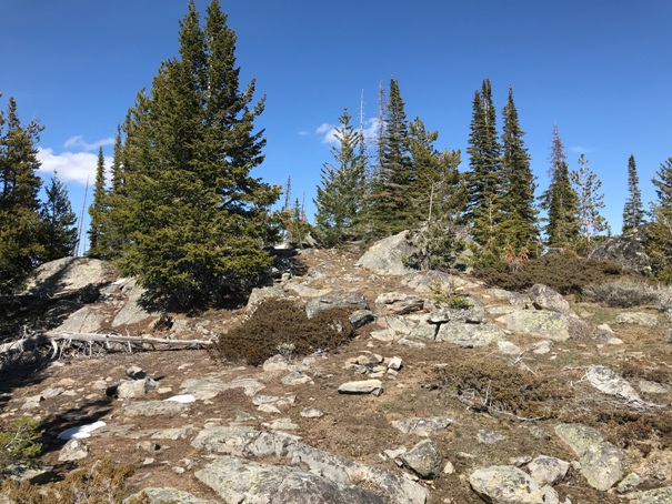
In 2020, nothing much was left but wire and nails. Much of the timber has grown back but views can be found by moving around the summit area. Cattle roam the mountain with random paths everywhere.
Lookout Elevation: 6,370 feet
Hiking Distance: 1.6 miles one-way
Elevation Gain: 1,200 feet
County Okanogan
Muckamuck Mountain Lookout Site
Looking Southwest 1930
Looking North 1930
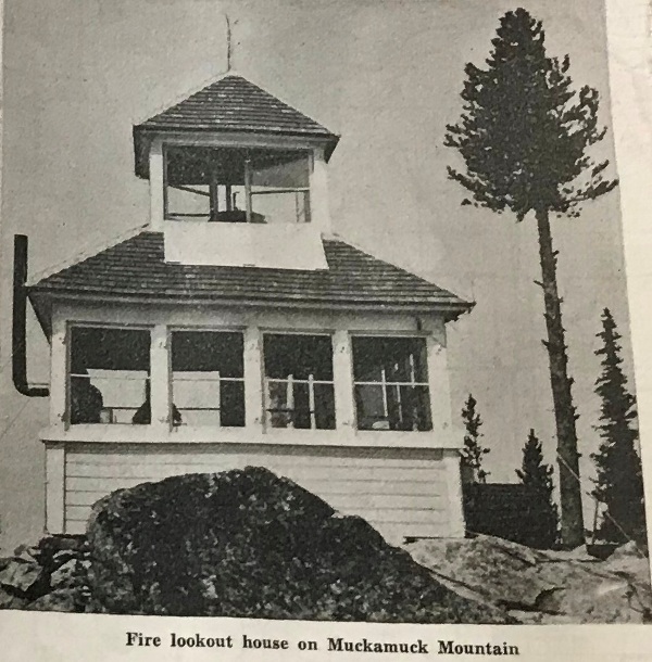

Looking Southeast 1930
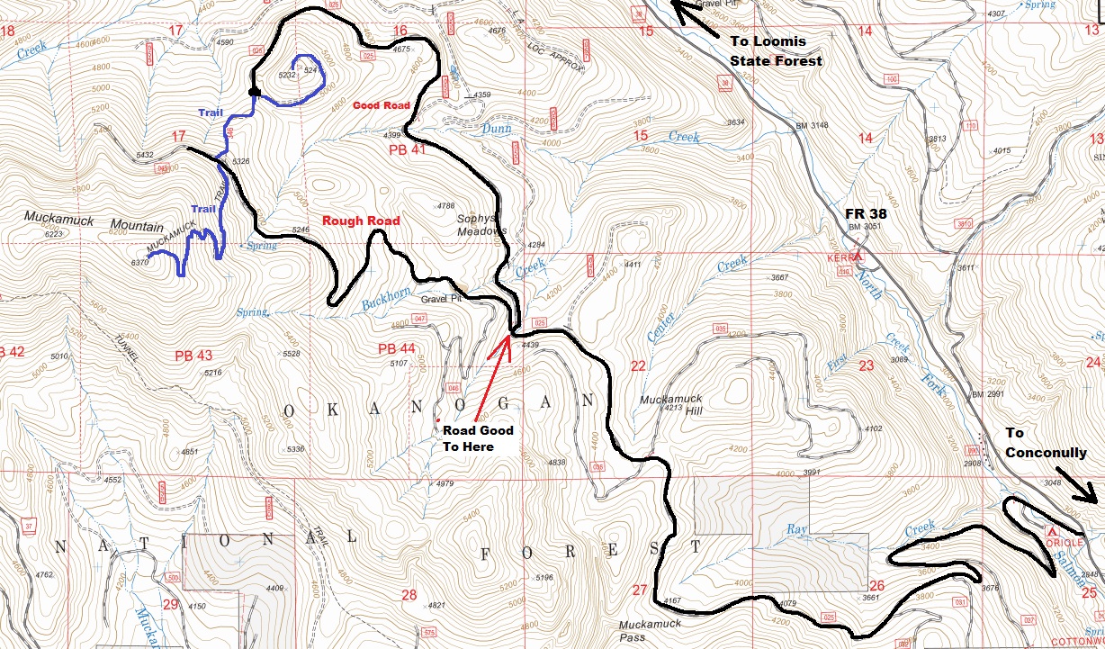
From Conconcully, drive north on County road #2361 which turns into Forest Service Road #38 at the Forest Service boundary. Continue on Forest Service Road #38 for 3 miles to Forest Service Road #3825. Drive up Forest Service Road #3825 for 6 miles to start of the trail. The trail is not signed but near the end of the road. The last few miles of the road gets steep and rough. Park when your car says mercy.
Access:
Just follow the trail to the summit. We hit snow the last half mile and just hiked steeply directly to the summit. Visited in May of 2020.
Route:
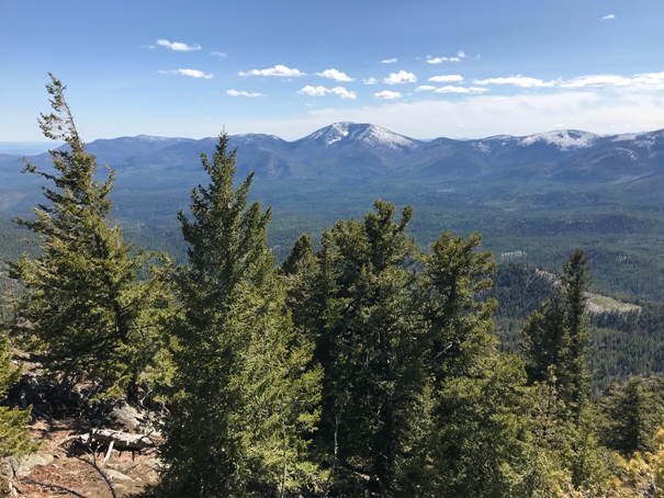
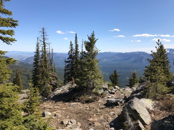

Looking SE from the lookout site
Looking South to Granite Mountain
Lookout site
Looking up at the lookout site
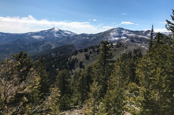
Old Baldy and Mount McCay
Looking North from the lookout site


