Mt. Lincoln Lookout Site
WillhiteWeb.com
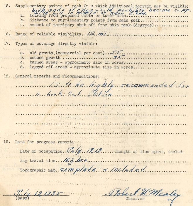
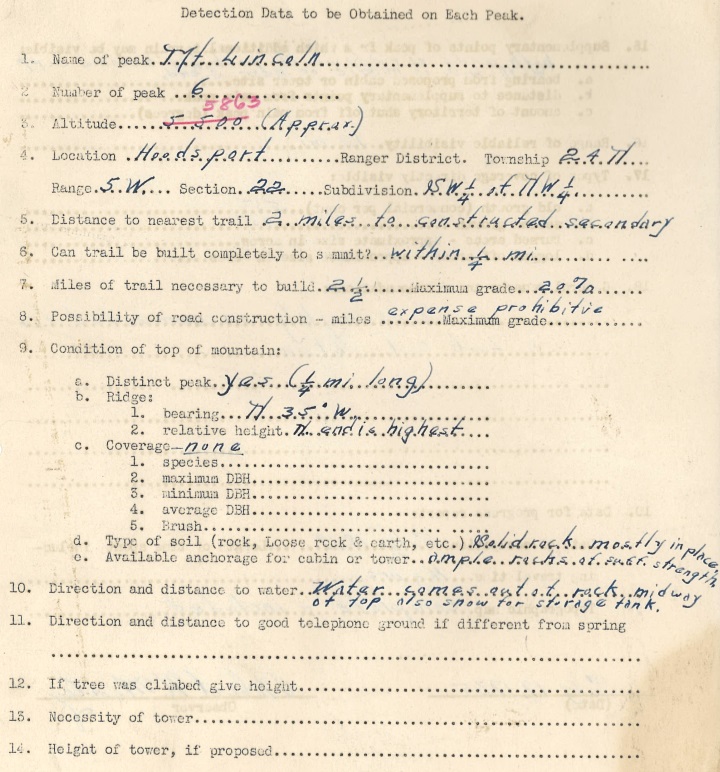
On July 18, 1935, Robert H. Mealey packed an overnight bag and climbed Mt. Lincoln on a 16.5 hour trip to the summit and back. At the top, he took notes and drew a topographic map. Robert was evaluating if Mt. Lincoln would be a fire lookout. Some of the highlights from his report said, "is to be highly recommended for a Lookout Station with supplementary points at both ends of the ridgeline with the lookout in the middle or near the South end. Within view was 55 percent old growth timber and 45 percent second growth timber. Range of reliable visibility was 12 miles. There would be 2.5 miles of trail to build at a maximum grade of 20 percent. The north end of the summit is highest, and water comes out of the rocks midway at the top."
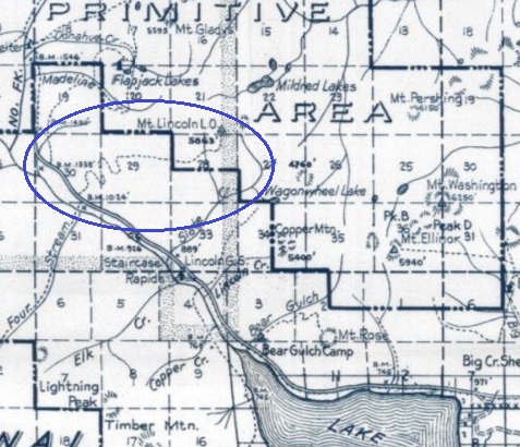
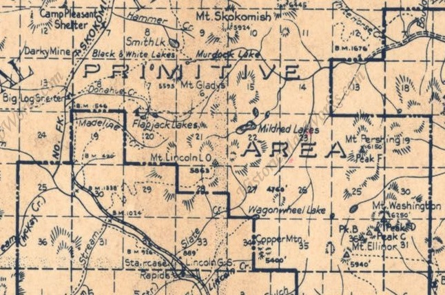
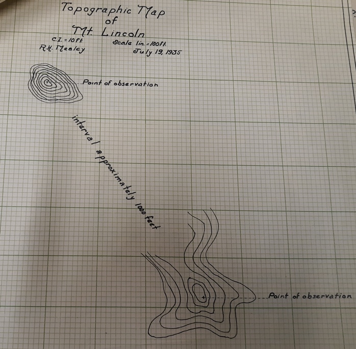
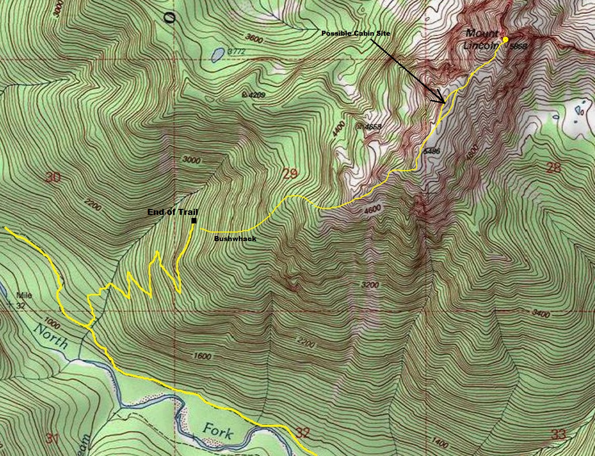
We donít know when or if a lookout was built but the evaluation was done in 1935 and the lookout appears on maps in 1938. So, construction date (if built) was around 1936 or 1937. The Kresek lookout inventory says there was a cabin in the 1930s. If so, this cabin was built of native materials found on site. Although park maps do show a trail climbing from the valley floor to the summit, no trail was ever build on the upper mountain (my observation). The Mt. Lincoln trail does exist down low, definitely built with a very gentle grade to handle stock. BUT, the trail abruptly ends at 2,650 feet. In my opinion, the trail construction was stopped here, for whatever reason. The only location on the mountain that hinted of a possible cabin site was the highpoint between the north and south summits. This would match what Robert Mealey was suggesting in his observations and suggestions. I did not find any evidence at this point between the summits other than a flat area that looked altered in some fashon. (I marked the area on the topo map below).
Lookout Elevation: Summit at 5,868 feet, lookout site unknown.
Hiking Distance: 5.5 miles one-way
Elevation Gain: 5,500 feet
Road Access: Paved
County: Mason
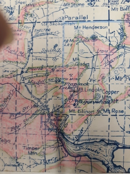
1938 Olympic National Forest Map
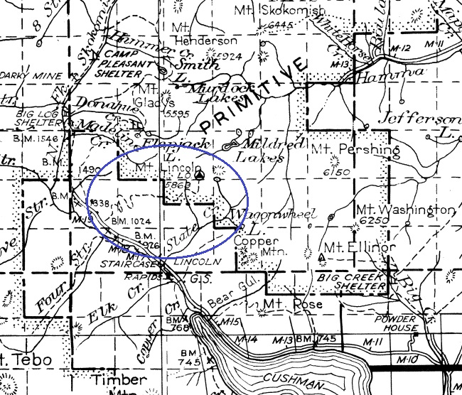
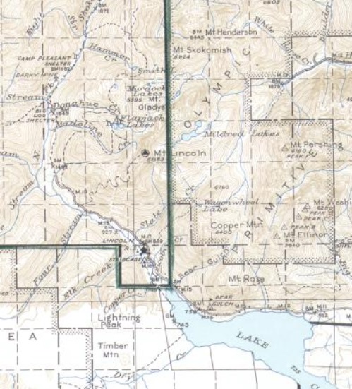
1941 National Park Map
1955 Metsker
1947 Metsker map
Topographic made on July 19, 1935 by observer Robert H. Mealey.
Mt. Lincoln visibility map
Mt. Lincoln 1935 survey (page 1)
Access:
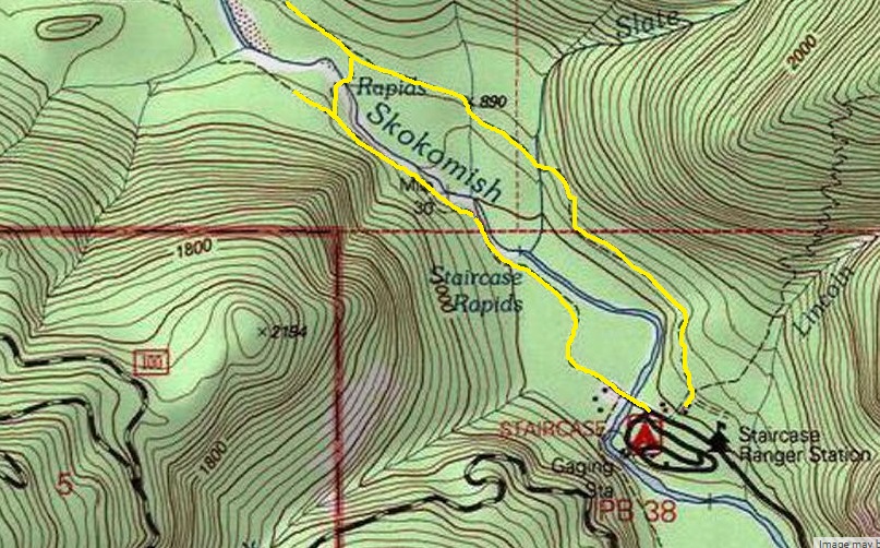
Start at the Staircase Ranger Station in Olympic National Park. Hike about 2.5 miles up the Skykomish River trail (taking either river trail). The Mt. Lincoln trail is unsigned but is obvious to the right in a wide spot along the trail. Most of the route is in the Beaver Burn area that is slowly regrowing.
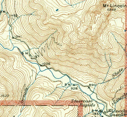
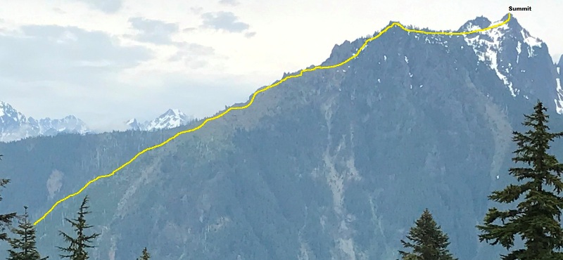
1950 USGS shows trail going to 3,200 feet. If that last switchback was there, I crossed it twice without noticing it.
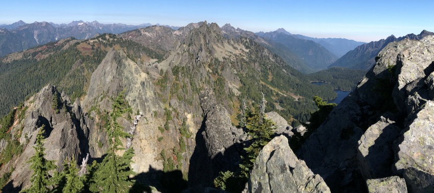
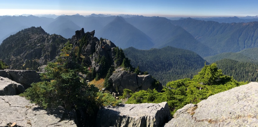
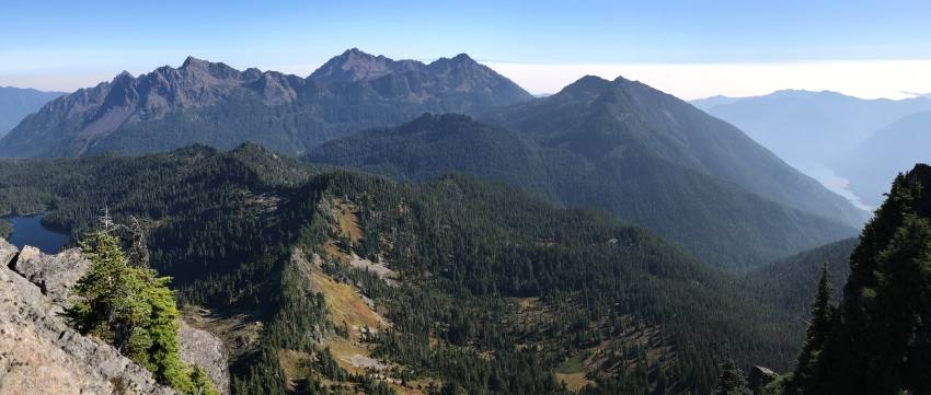
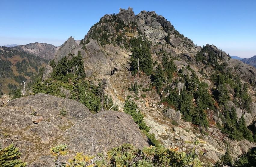
From Lightning Peak with route shown
Mt. Lincoln 1935 survey (page 2)
Looking at the SW summit of Mt. Lincoln and spires near Mt. Tebo in distance
Approaching the summit of Mt. Lincoln
View north along Sawtooth Ridge from the summit of Mt. Lincoln
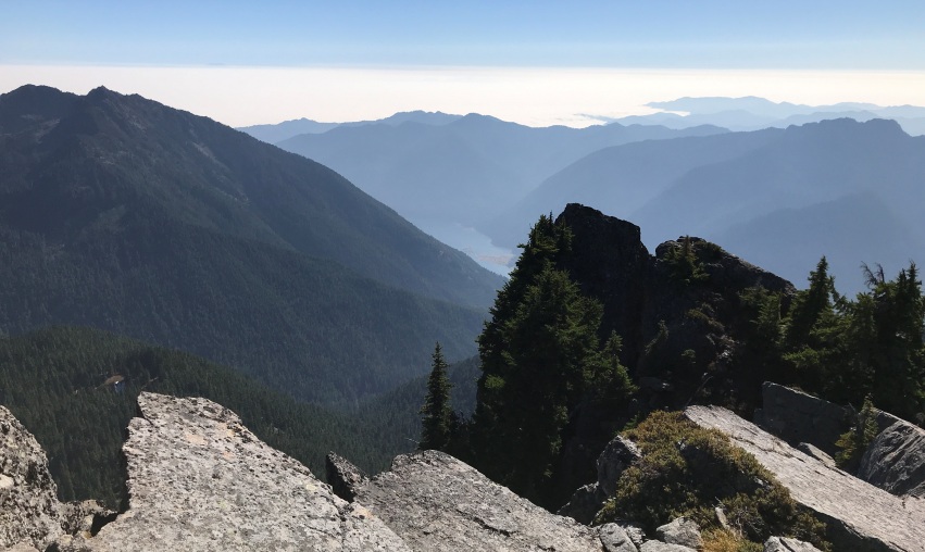
View SW from the summit of Mt. Lincoln with Four, Five and Six Stream Valleys
Panoramic South and East. Mildred Lakes on left, then Pershing, Washington, Ellinor, Copper, and Lake Cushman down on right.
Copper Mountain on left, Lake Cushman below and a fog/smoke layer over Puget Sound.
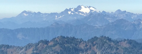
Mount Olympus
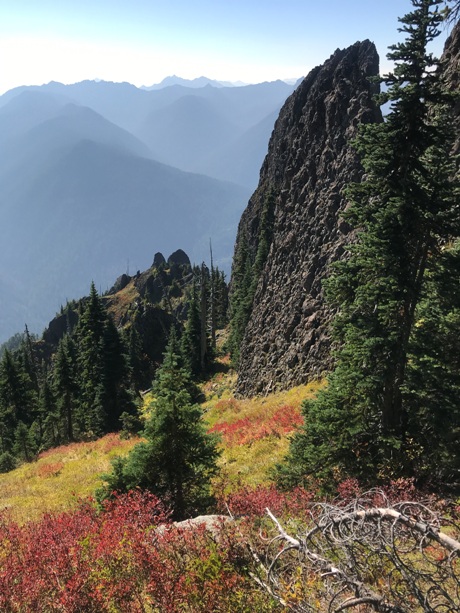
Rock spires on the SW ridge in route up
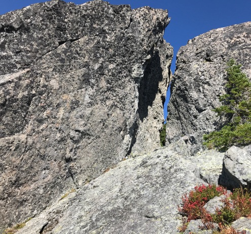
The key slot through the summit rocks that only appears when you get close
Route:
Once the trail ends, the next 1,400 feet you are on your own for a bushwhack nightmare through young trees on super steep terrain with fallen snags everywhere. Only attempt if you have good off-trail skills or you might find yourself crying. At 4,000 feet the SW ridge opens and becomes tree free but the hillside is still steep with nothing but the occasional climbers trail in places. Weaving and climbing up through numerous rock spires, eventually you reach the summit ridge. The final 0.6 miles beyond is a Rock Garden with parts that will get you humming the Lord of the Rings theme song. The final scramble to the top is magical. You will never think you can make it without rope but around every corner, the way appears, including a secret slot wall that puts you safely on the summit. Note that the route on the summit block does not start at the highest pass adjacent to the summit block.
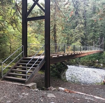
Bridge over the Skokomish River at the top of the loop trail.


