Mount Margaret Lookout Camp
WillhiteWeb.com
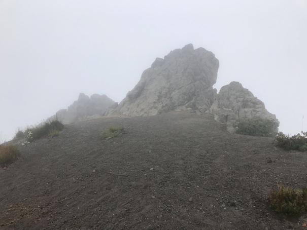
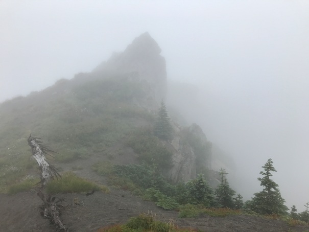
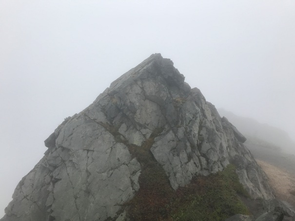
Information in the Kresek Inventory says Mount Margaret was a 1930s camp beneath summit. I have not come across any pictures or maps. Note that there was a Mount Margaret camp near Snoqualmie Pass that was not in the inventory. I do not know the inventory source that Kresek used. The summit area certainly has several flattish areas that a camp could be placed. An old style USGS marker is on the highest rock, placed in 1906. The USGS designation is LEN and in 1946, the summit was 6 hours ride by horse. This is one of the best viewpoints for looking into the crater and Spirit Lake together. Unfortunately, as my pictures show, the clouds did not lift as forecasted during my visit. I will be returning.
Lookout Elevation: 5,858 feet
Hiking Distance: 6 miles one-way
Elevation Gain: 2,800 feet
County: Skamania
Access: Paved Road
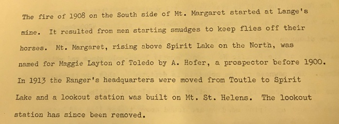
Just some history about a fire on Mt. Margaret. The lookout discussed is talking about Mt. St. Helens lookout.
Access:
Route:
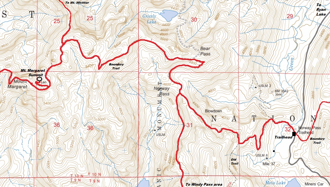
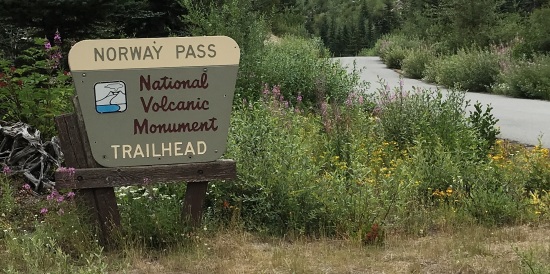
Take FR 25 to FR 99 into the Windy Ridge access to the Mt. St. Helens Monument. At 8.9 miles from the junction turn right on Ryan Lake Road. In one mile reach the Norway Pass Trailhead, elevation 3600 feet.
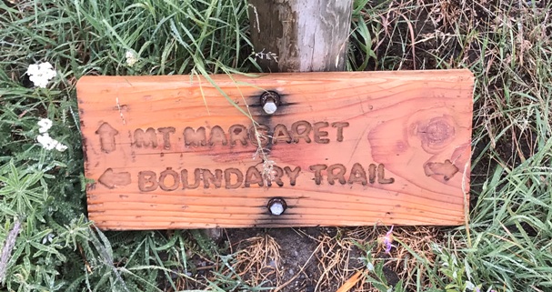
The trail meanders a bit, then climbs easy switchbacks above Meta Lake, turns a corner and climbs up to Norway Pass at 2 miles in. From there, the trail works up a higher ridge gaining better views as it traverses ridges and hillsides. Signs say there is no drinking water but I noticed a few spots even in a dry summer August. A short side trail off the Boundary Trail takes you to the hikers summit of Mount Margaret.
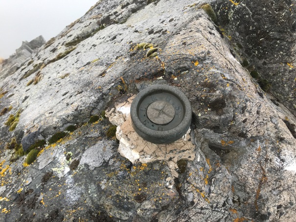
USGS marker LEN, first placed in 1906
South summit rocks
North summit rocks
The short spur trail sign to the summit


