Mosquito Point Lookout Site
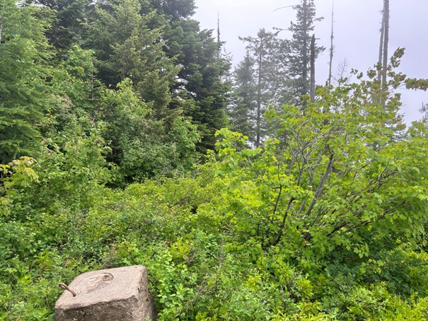
The lookout inventory says this site was a patrol point for Bead Lake Peak Lookout that is 2 miles to the south. This site has tower footings and anchors so I would guess this was more of a full patrol tower lookout site, not just a standard patrol point. We do not know the size of the tower.
Elevation: 4,362 feet
Hiking Distance: 0.2 miles
Elevation Gain: 200 feet
Prominence: 162 feet
Access: Most vehicles can make it but some clearance best

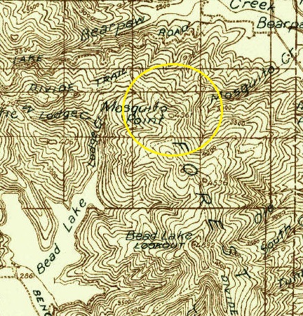
WillhiteWeb.com
1936 Forest Service
1936 USGS
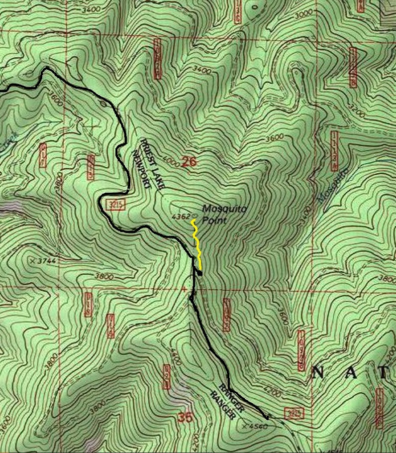
The road passes under Mosquito Point so several options are possible. I went up the south ridge but in time, the brush will get much worse. Every route appears to be a bushwhack. The summit had little evidence of long term living use (toilet, cab parts, garbage dump) so that supports the patrol point theory. Footings at a patrol point are rare but some patrol points did have towers, but usually more rudimentary ones.
Route and Site Information:



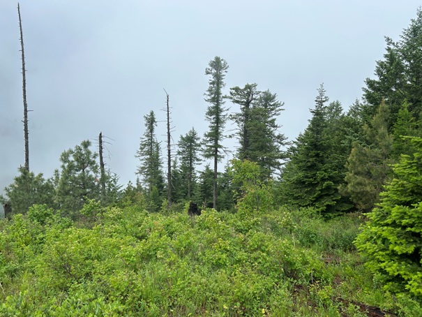
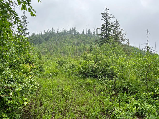
Looking up at Mosquito Point from the south ridge
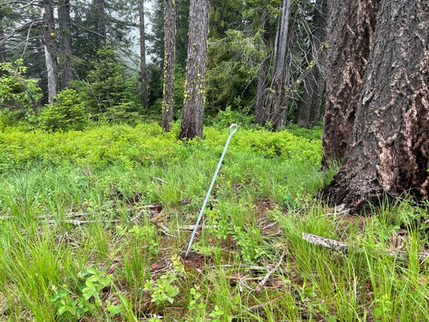
Footings at the summit
Anchor point at the summit


