Moon Hill Lookout Site
WillhiteWeb.com
In 1929 there was a crow's nest. It was abandoned in the 1930s.
Lookout Elevation: 3,945 feet
Hiking Distance: 1.5 miles
Elevation Gain: 1,000 feet
County: Pend Oreille
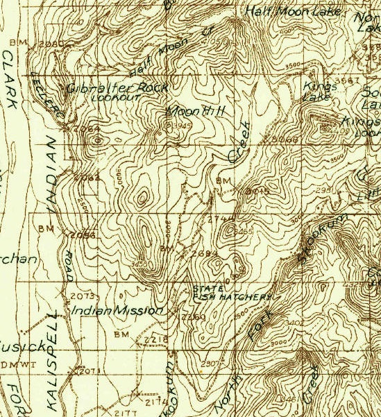
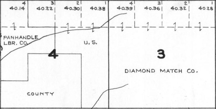
Nothing on the 1941 Metsker
1936 Forest Service, some kind of trail up the south slope
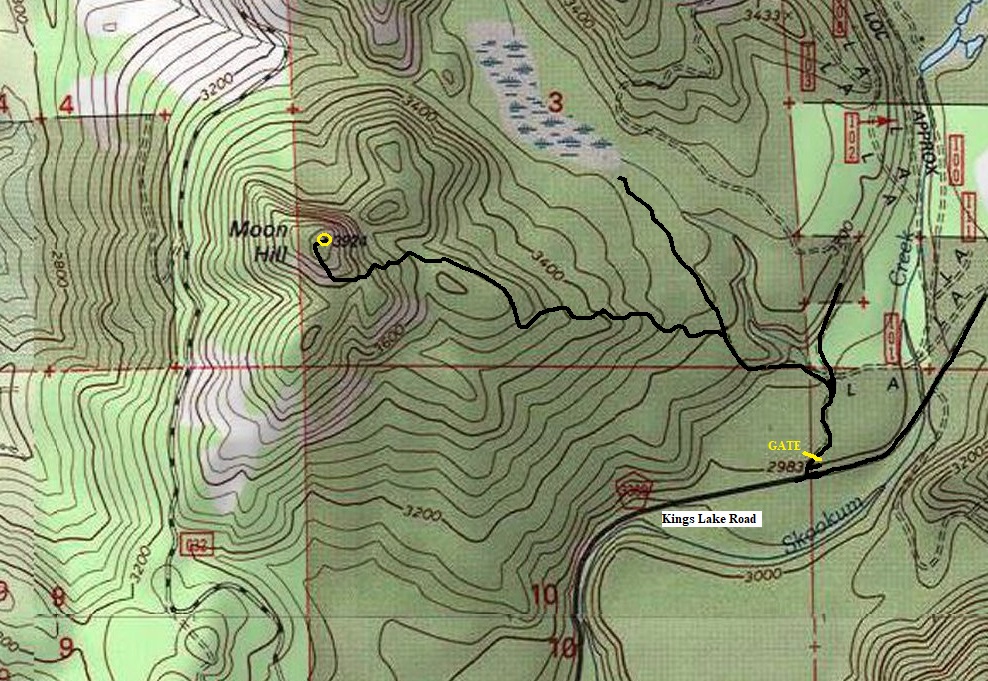
This is private timber company land but in 2021 there were no signs on gates, so no issue with you wandering up the road to the summit. The road hike is easy but in 2 places, the road is pretty darn steep. There are a few Y intersections so use the map provided. There is a small communication site at the top and the highpoint is just a minute walk from the end of the road.
Access:
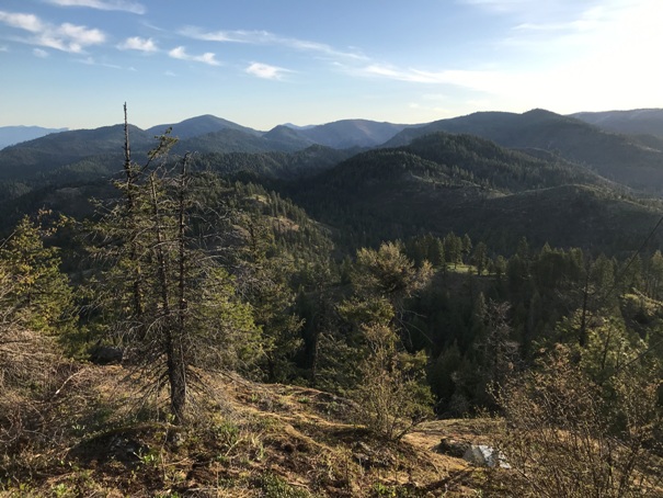
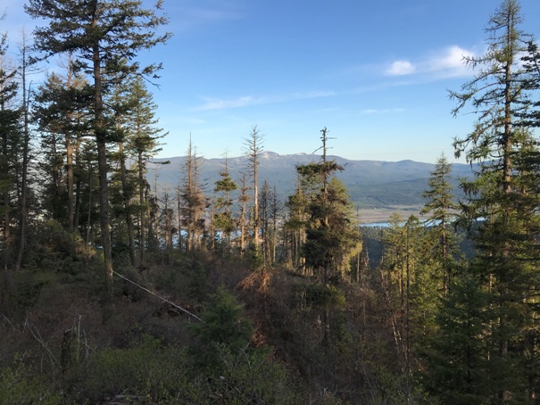
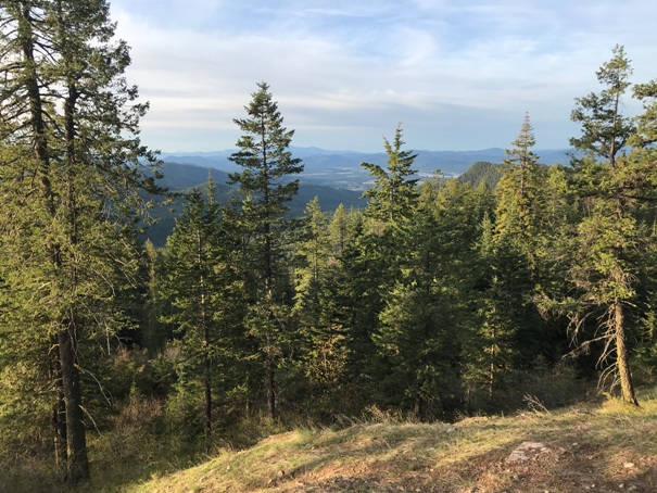
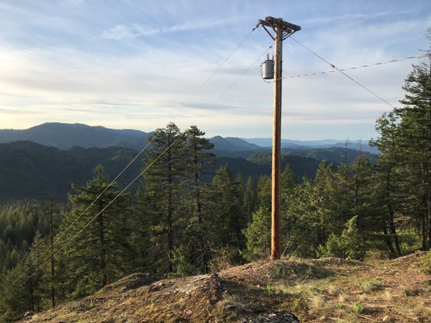
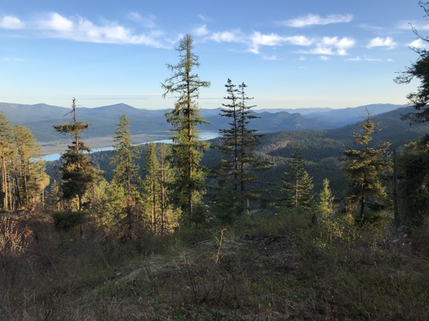
Looking south from near the top
Looking northeast
Looking northwest
Looking north
Looking southeast
Approximate road to the top


