

WillhiteWeb.com
Located between the forks of Wolf Creek, this lookout site is still high and isolated from any maintained trail.
Lookout Elevation: 7,152 feet
Hiking Distance: 10 miles one-way
Elevation Gain: 5,000 feet
County: Okanogan
Visited: 2022
Milton Mountain Lookout Site
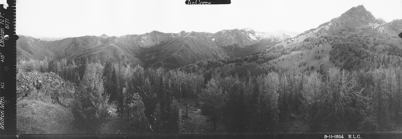
Looking North 1934
Looking Southeast 1934
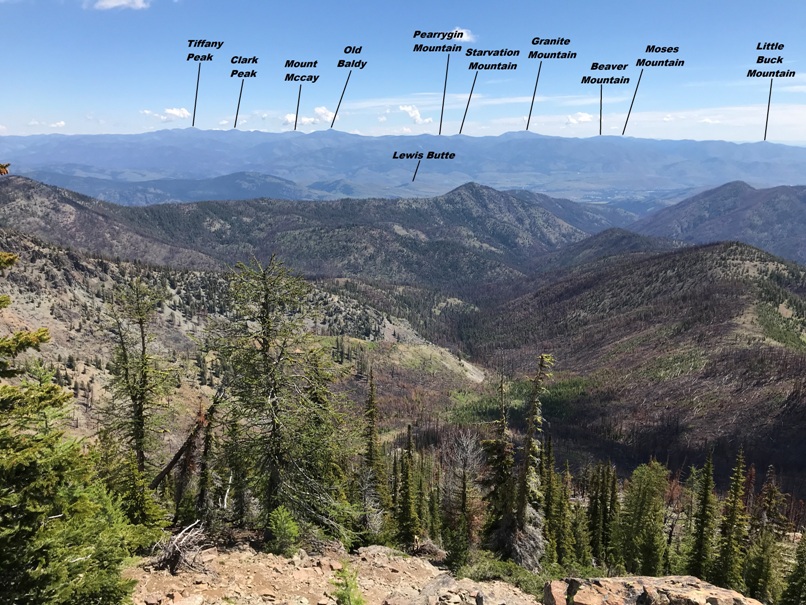
Looking Southwest 1934
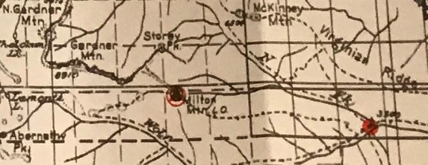
Early 1901 map with a 1951 update


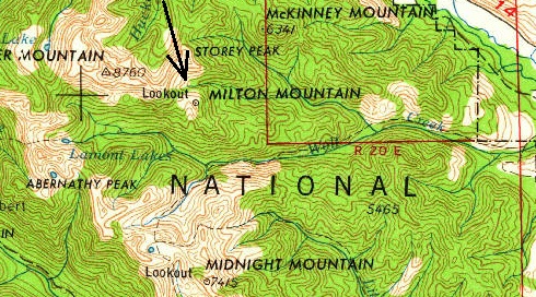
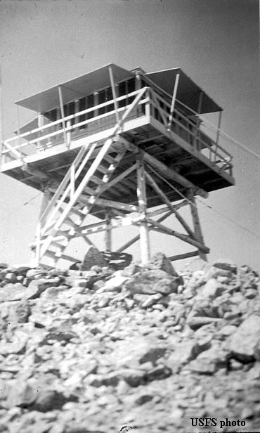
Milton Mountain Lookout
1938 National Forest Map
1938 National Forest North Cascades Map
1958 USGS
Just south of Winthrop on Highway 20, shortly after crossing a small bridge, turn right onto Twin Lakes Road. After 1.3 miles, turn right onto Wolf Creek Road. After 2.8 miles on Wolf Creek Road, turn left onto Left Fork Wolf Creek Road. After 3.8 miles, the road forks. Veer left at the fork, continuing another 0.6 miles to the Wolf Creek Trailhead and large parking area.
In 1932 the lookout was George Haase. His fire season started on July 15 that year. Plans were to construct structure this year. In the fall, materials for the L-4 cab and pole tower were packed up by Foss Creveling and George Miller.
In 1933, the lookout was under construction in September by E.W. Allen and Jenks Boyer. The Wenatchee Daily World reported “they were building the standard lookout house 14 by 14 feet on the top of a 20 foot tower on Milton mountain.”
In 1934, panoramic images were taken 15 feet above the ground. You can see the catwalk railing in two photos.
In 1951, the cab was sold for $1.00 and removed.
Access:
History:
Follow the trail for nearly 5 miles. The abandoned trail leaves the main trail shortly after the major slide area that looks like the moon (dark dirt with no vegetation, with steep slopes down to the river far below). The abandoned trail can be roughly followed in many places but in other places seems to have faded out. Use map and basic navigation skills to get up on the ridge and to the mountain. The terrain is mostly open so travel is easy.
Route:
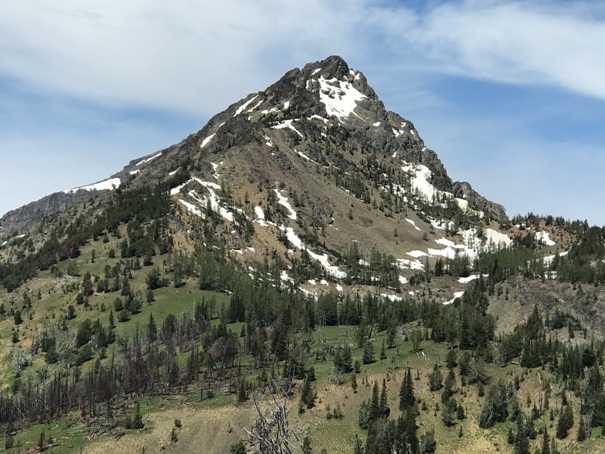
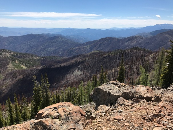
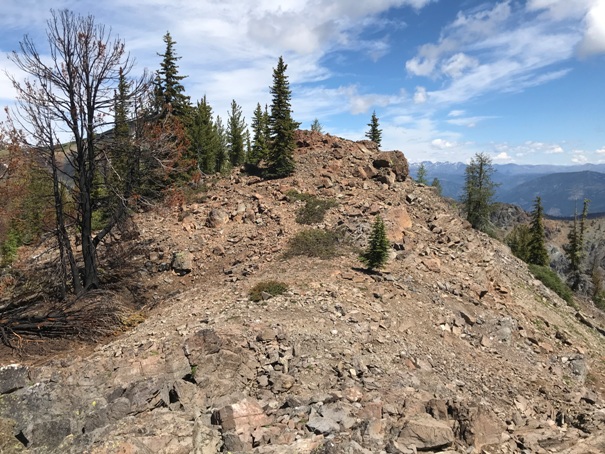
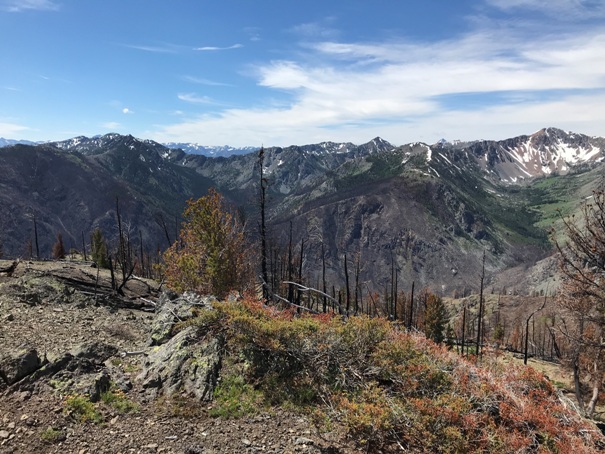

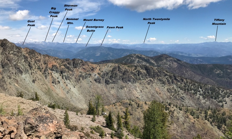


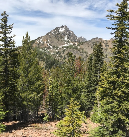

Storey Peak from the summit
East ridge of Gardner Mountain
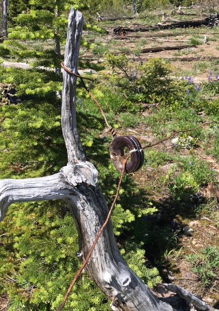
Fire burned most the line and insulators onto the ground, I raised this one.
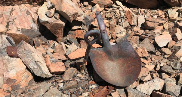
A few relics still remain
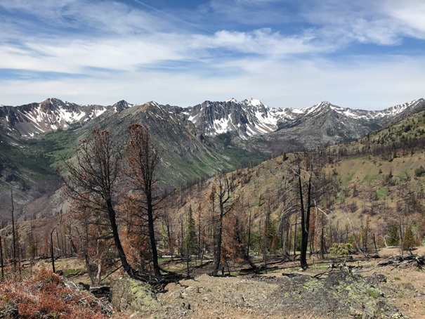
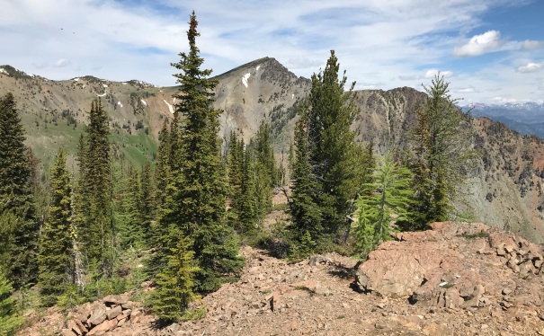
Looking Southeast
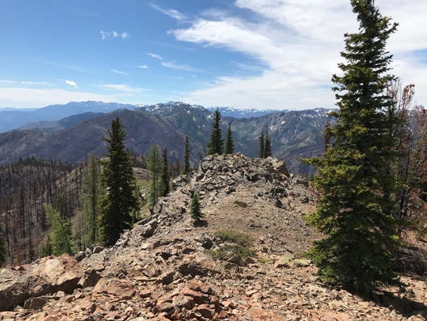
The summit of Milton Mountain with no lookout
Looking Southwest
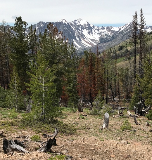
Still some sun dried cut stumps from the lookout days
Gardner Mountain from Milton Mountain summit
An old sign at the summit is broken and too worn to read.
Parts around the ground.
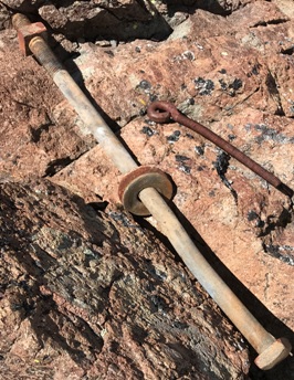
Bolts
On the left side of this image in the rock pile is some kind of celler or emergency shelter location. It still is mostly intact today.


