Mica Peak Lookout Site
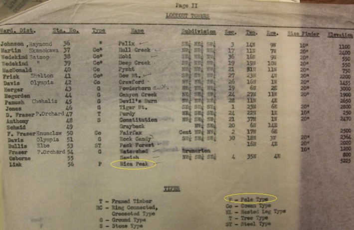
In 1942, a 40-foot wooden pole tower with an 8 x 8-foot cab was built. A cabin was at the base. When it was replaced in 1954, the DNR called this first tower a temporary wartime structure, but I do not believe they were insinuating that it was AWS.
In 1944, Mica Peak Lookout got a short-wave radio linking it to other lookouts in Stevens, Pend Oreille and Spokane counties. The work was completed by Bob Fuller, radio technician for the state division of forestry, and his assistant Max Giverson. Other radio sets went to Stranger, Mt. Spokane and Saddle Mountain.
In 1949 (July 15), the lookout on Mica saw a smoke and radioed the fire fighter crews. A crew went to the scene of the fire and found a Mica resident burning grass and weeds trimmed from his backyard. The smoke was seven miles from the lookout tower.
In 1954, 40-foot wooden DNR tower 14x14 foot cab was built. It was built by Wayne Rieper and Paul Anderson.
In 1955, the Air Force acquired 20 acres and built a radar station on top of the peak. The new tower had to be removed. Rieper had to haul the new tower and cab to Lookout Point north of Spokane where it stands today.
Lookout Elevation: 5,205 feet
Hiking Distance: 4 miles (Belmont Trailhead)
Elevation Gain: 2,700 feet (Belmont Trailhead)
County: Spokane
WillhiteWeb.com
Route
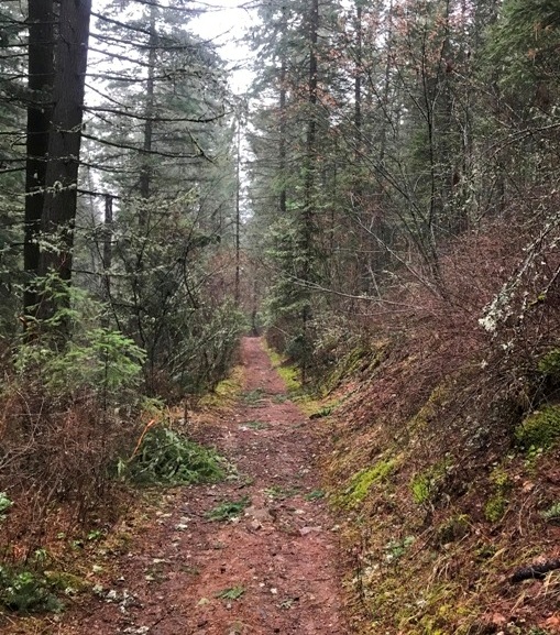
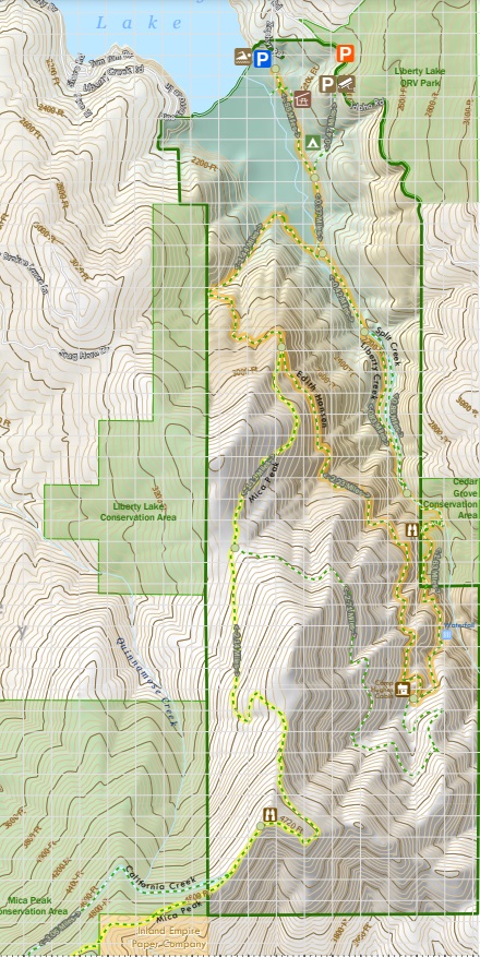
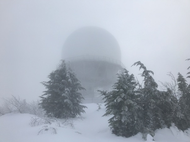
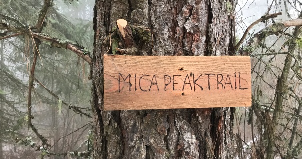
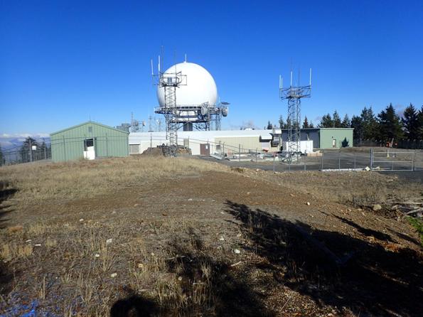
Mica Peak is surrounded by public lands with numerous trails, or even a road to the summit. The summit area has one of the regionís main FAA domes, so the summit is marked off limits on park maps. Still, one can easily pop out of the woods, obtain the summit, and drop back down without causing too much of a stir, especially in winter. I used the Belmont Road Trailhead to access the summit. I then continued north using the Mica Peak Trail access from Liberty Lake. The northern route from Liberty Lake is much nicer, a pleasant, forested hike, but the north route is 2.5 miles longer than the Belmont trails. The Belmont trails are mostly old roads and not very interesting. So the entire traverse was around 10.5 miles. My pickup ride was late so I was even able to walk to the I-90 interchange and grab some Taco Bell, an additional 4 miles.
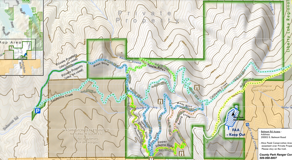
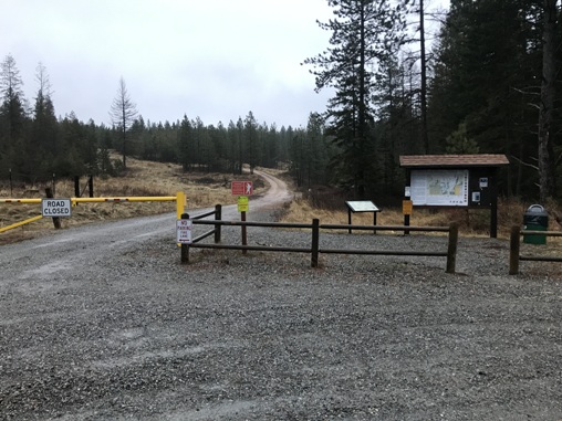
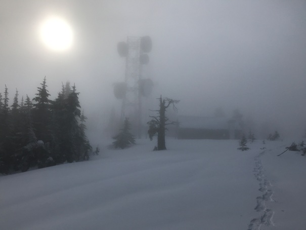
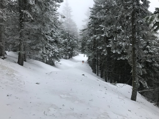
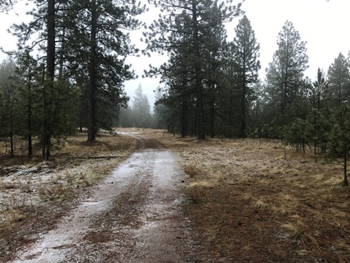
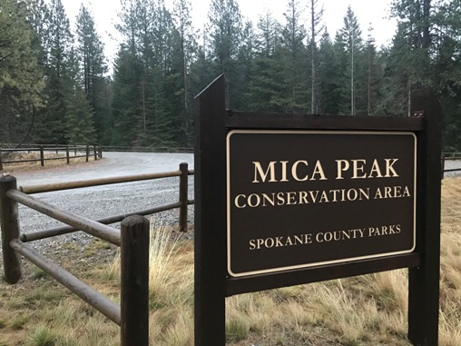
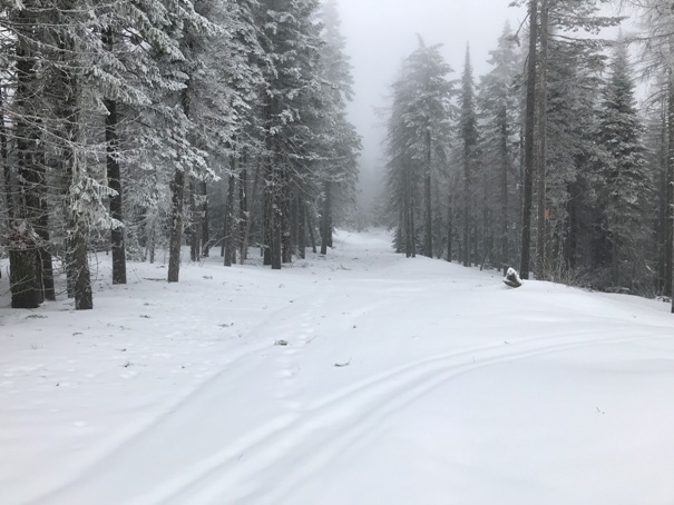
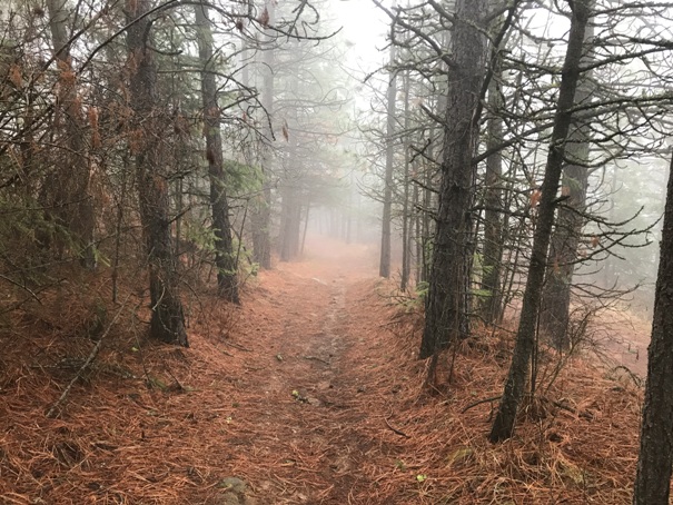
Belmont Road Trailhead
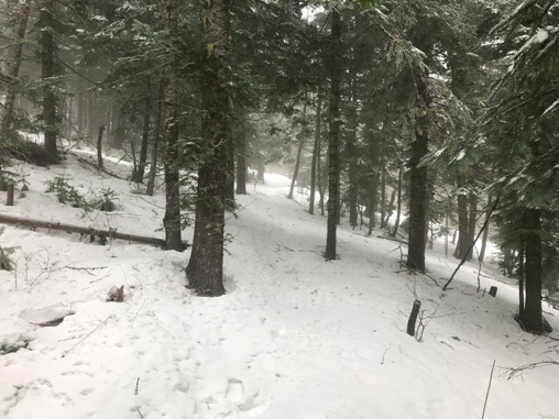
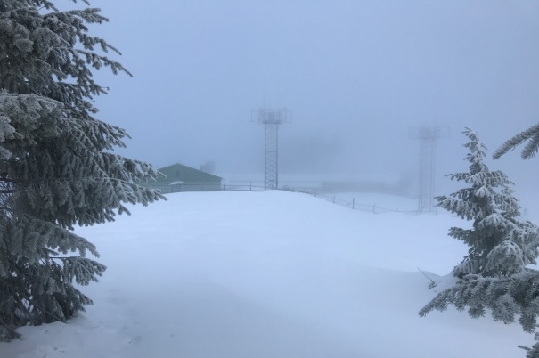
Summit snow on January 17, 2021
FAA Radar
California Creek Trail
California Creek Trail
Moon Shine road walk
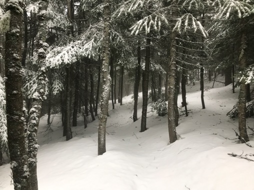
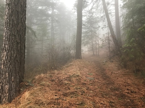
Mica Peak Trail just north of the summit
Mica Peak Trail
Mica Peak Trail
Edith Hanson Trail
Mica Peak on the 1942 list of DNR fire towers
Liberty Lake Regional Park Map
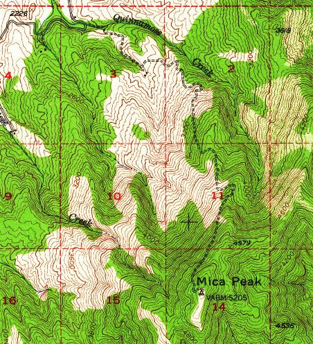
USGS 1949, 1961 update
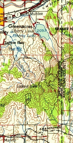
1958 USGS map
Mica Peak Conservation Area Map
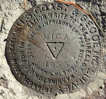
Mica Benchark
Jeff Ruckle
Jeff Ruckle
The summit without snow


