Madcat Meadow Lookout Site
WillhiteWeb.com
Built in 1924, the site was built to serve as a lookout post on the southwest face of Mt. Adams. It was reported as a wooden frame platform on the rocky outcropping to put the firefinder on. Just below the rocky observation site was a cabin. A 1924 newspaper article calls it a cabin but it may have just been the storage shed. The site was abandoned in 1941. It is unknown if a camp was even here. This site was probably used most by the patrolman at Gotchen Creek Guard Station. He rode horseback around the area to check up on sheepherders in the Mt. Adams area. There were many of them, and according to Keith McCoy, they built out the Round-the-mountain Trail.
Lookout Elevation: 5,800 feet
Hiking Distance: 4.5 miles one-way
Elevation Gain: 1,700 feet
Access: Good Gravel Road
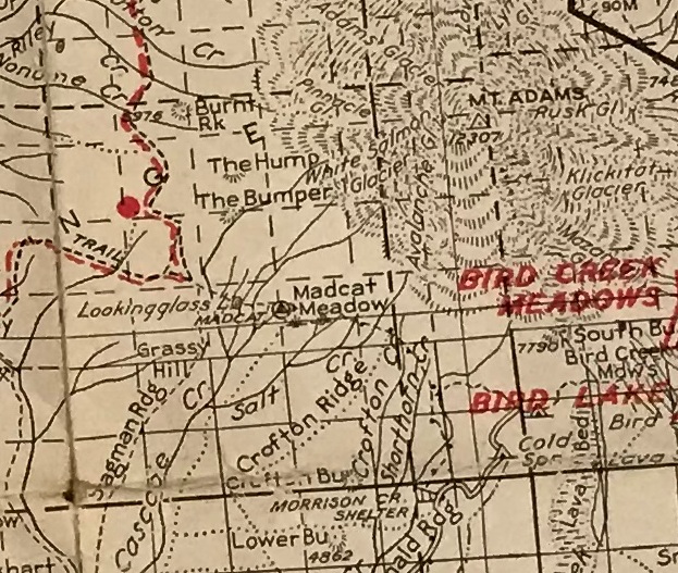
1940 Columbia National Forest map

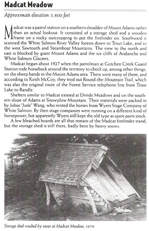
1927: tent, shed. Abandoned 1941. (Kresek)
From book: Fire Lookouts Of Mules and Men (La Vaughn Vanderburg Kemnow) 2017
From book: Lookouts, Firewatchers of the Cascades and Olympics (Ira Spring and Byron Fish)
Access:
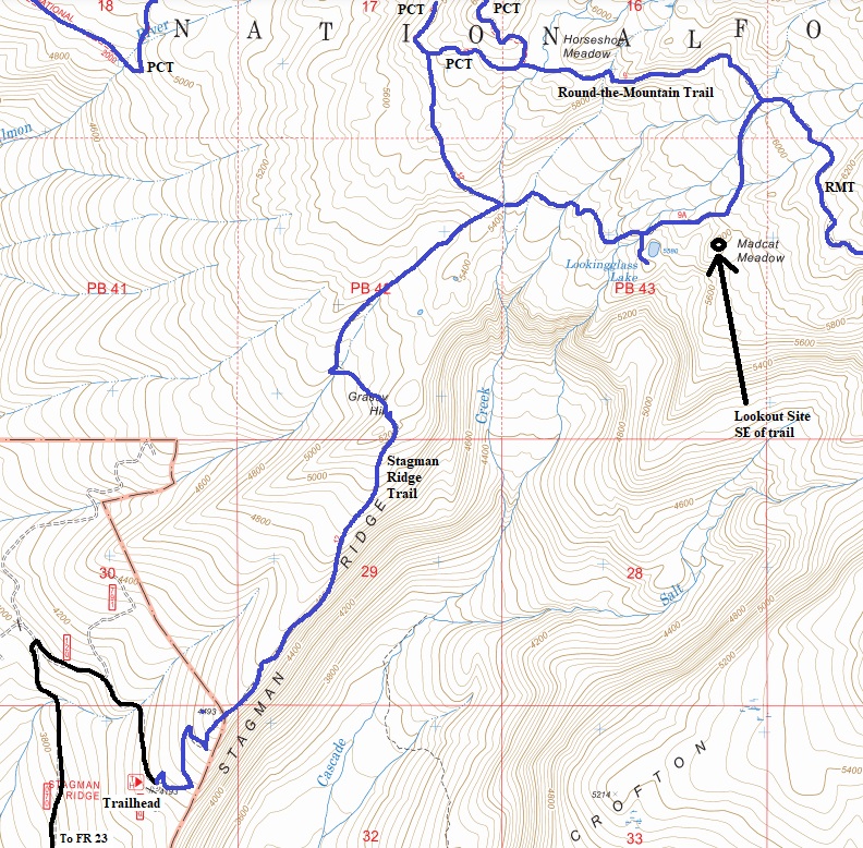
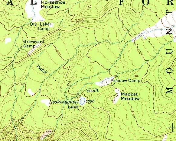
The closest access is from the Stagman Ridge Trailhead. Hike up the ridge trail around 3.5 miles to a intersection, then a side trail (Graveyard Camp Trail) to Lookingglass Lake, then up that trail a short distance to the short cross-country section through Madcat Meadows to the lookout site. The short side trail to the lookout site has long overgrown.
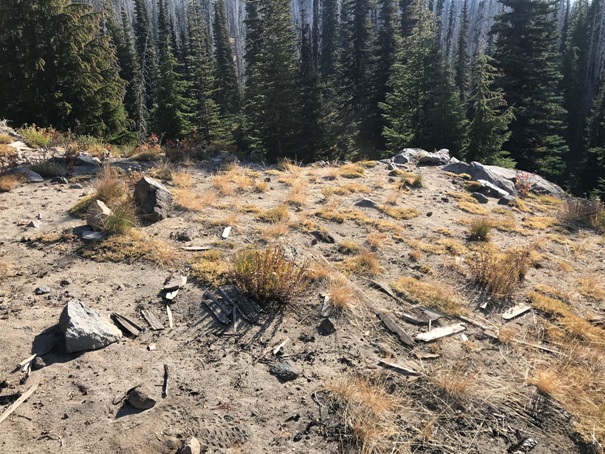

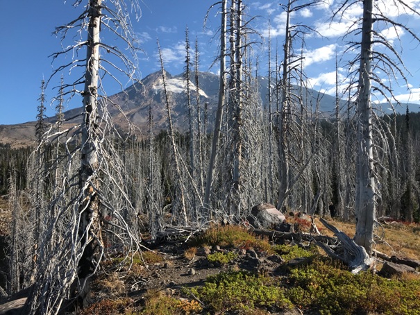

Mt. Adams from the Madcat Meadow Lookout Site. A higher ridge blocked views to the North.
Madcat Meadow Lookout Site from the Lookingglass Lake Trail
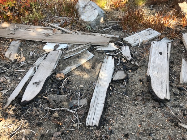
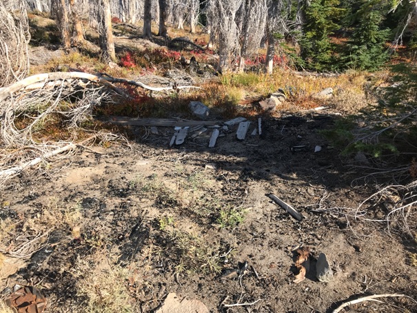
Cabin site with burned base wood in the ground
A few boards survived the 2012 Cascade Creek Fire
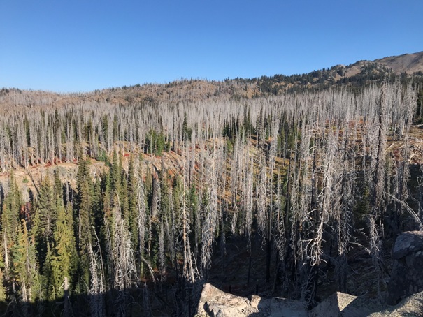
The Cascade Creek Fire was started by a lightning strike on the lower end of Crofton Ridge on the night of Sept. 8, 2012. Strong winds spread the fire east into the insect-damaged forest of Morrison Creek basin. The next day, 40 hikers had to be evacuated from the area and four were airlifted out by helicopter. Those evacuated on foot were forced to leave their vehicles behind. More than 20,000 acres burned on the southwest side of Mount Adams.
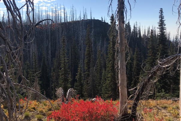
Burn Area
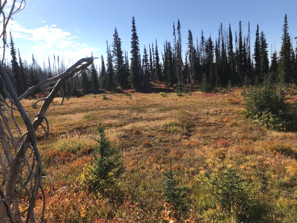
Between the trail and the lookout site is Madcat Meadow that must be crossed.
Located not too far off the Lookingglass Lake Trail
USGS 1970
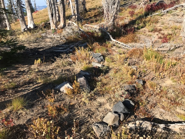
This rock lined trail went to a door of the cabin
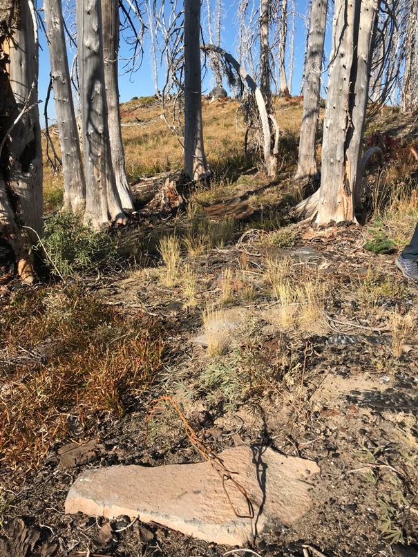
Hard to see in the picture but there are 3 foundation stones in a row with wires. This is the cabin site with the observation point above.
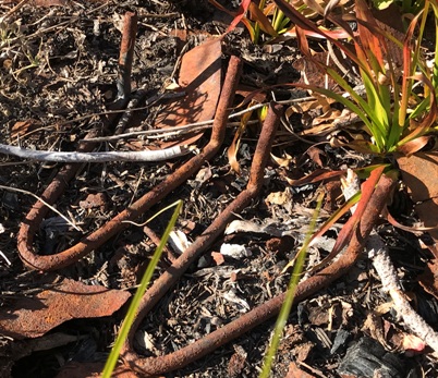
Some sort of L brackets
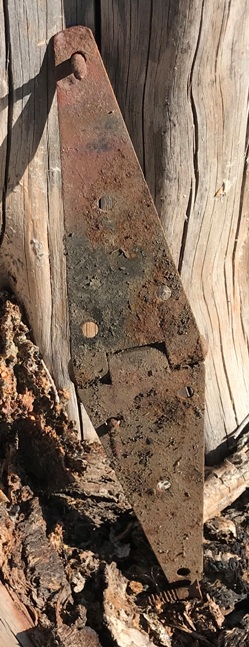
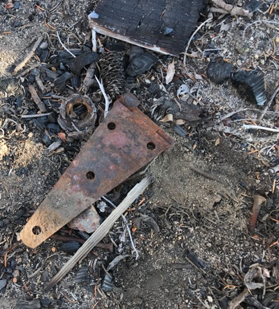
There were several door hinges
Hinge, nails, screws
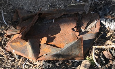
Gas can
The summit did have nails but also a more recent fire pit that likely burned all the wood.
Cabin site area
This is the view, mostly South and West.
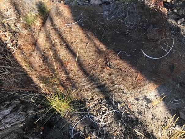
There was several of these wire mesh things


