Lorraine Point Lookout Site
WillhiteWeb.com
Lookout Elevation: 5,451 feet
Hiking Distance: 10 miles one-way
Elevation Gain: 3,000 feet
Access: Any vehicle
County: Chelan
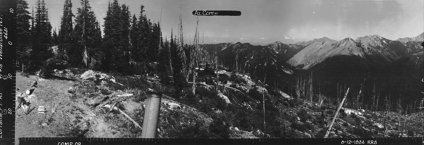

Looking North, August 12, 1934
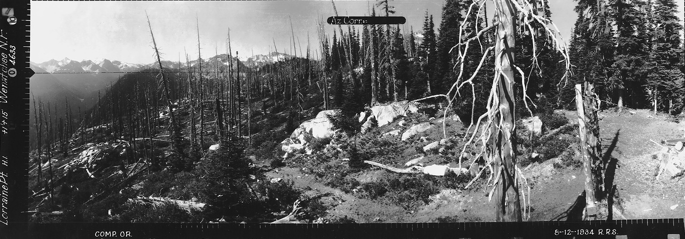
Looking Southeast, August 12, 1934
Looking Southwest, August 12, 1934
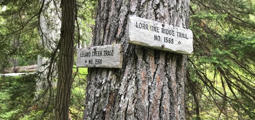
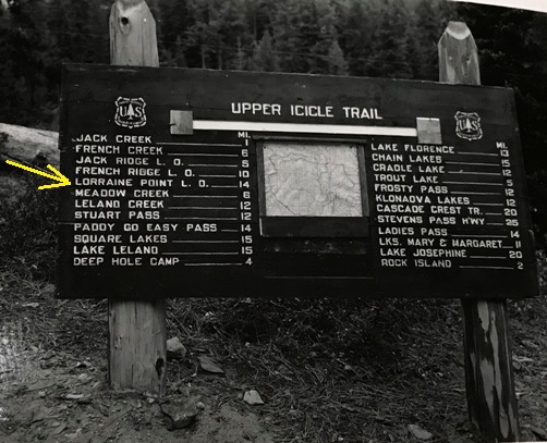
14 mile trail from the Icicle Creek Trail (unknown date for trail sign)
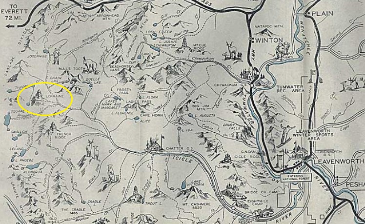
Leavenworth Recreation Map
Access:
In 1931, an L-4 cab was built.
In 1933, William Hansen was the Lorraine Point lookout fireman.
In 1934 we have panoramic photos from the roof of the cab, 16 feet above the ground.
In 1941 this lookout was abandoned.
The site is fairly deep in the Alpine Lakes Wilderness. You can come in from several different trailheads, but the Icicle Creek Trail would be the easiest. From Leavenworth, take the Icicle Creek Road to the end where there is the trailhead.
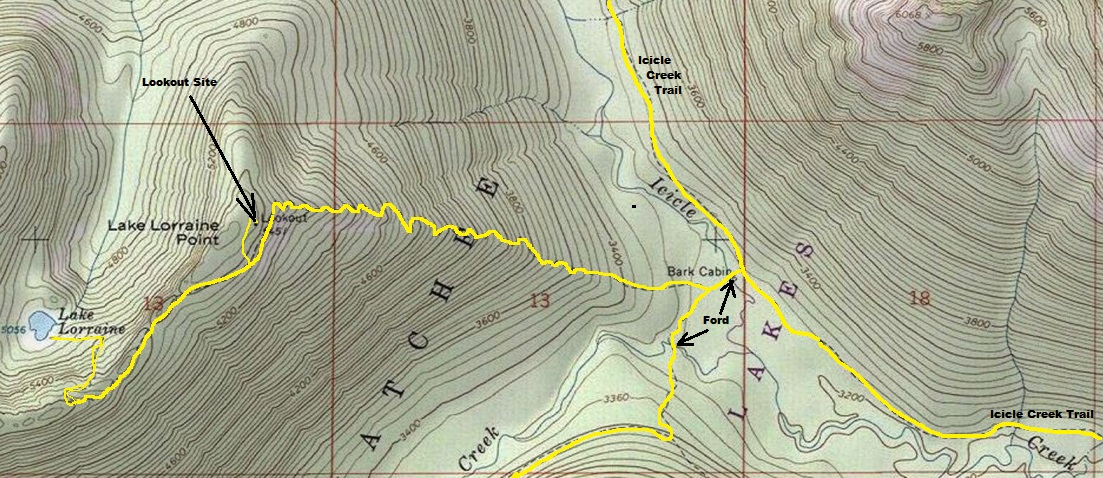
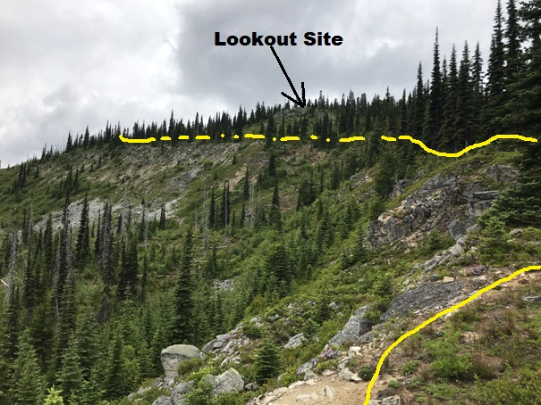
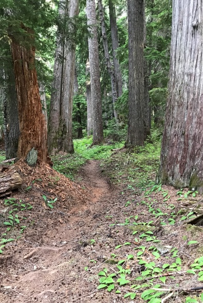
From the Icicle Creek Trail, take the Leland Creek Trail down to a crossing of Icicle Creek. This is a great campsite at the creek, hidden down the hillside from the Icicle Creek Trail, located at the Leland Creek Trail crossing. Older maps show this as Bark Cabin. You have to ford the creek. This is probably only an issue in Spring and early Summer. Once over the creek, a short hike will get you to the signed turn for the Lake Lorraine Trail. Just follow this trail as it climbs the hillside up to near the ridge top. The trail near the ridgetop has been used as a fire break (probably for the Square Lake Fire in 2003), views are really nice. Once the trail starts traversing toward the lake, the lookout site is directly above the trail. Hike a few hundred yards and find a small cairn in the grass. This is the old trail to the lookout. Just follow this trail the best you can and eventually you should find the site of the old lookout.
Route:



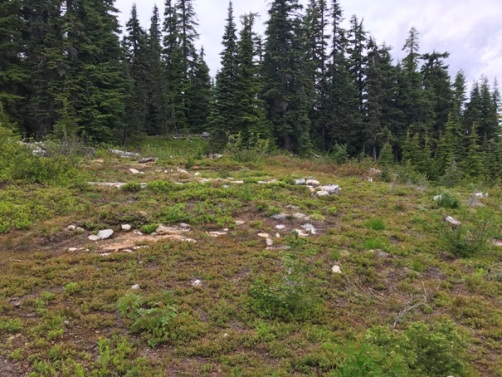
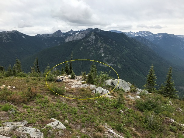

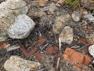
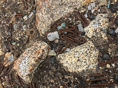
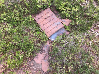
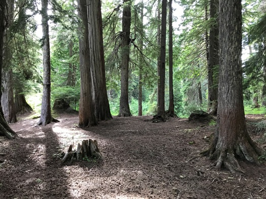
Open lookout site
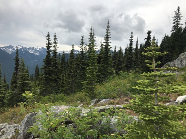
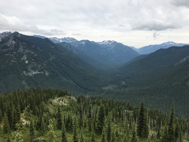
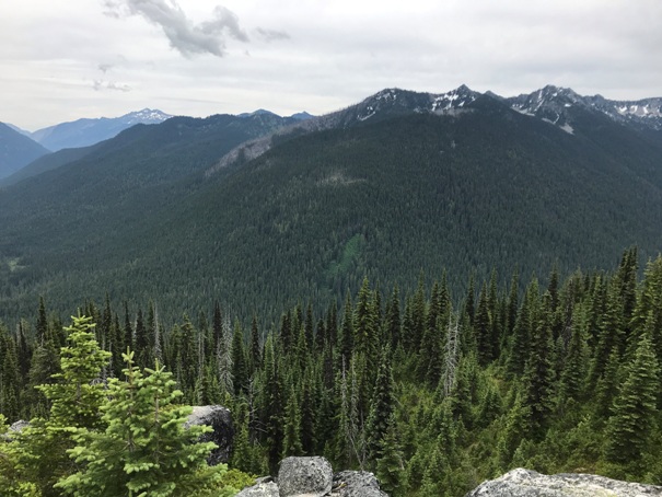
Looking SW from the lookout site, Granite Mountain and Mack Peak mixed in trees on the right
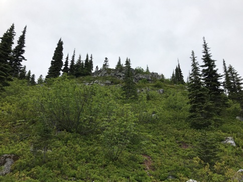
As you get close, the lookout site comes into view above the trail route
French Ridge
Looking NE from the lookout site
Lots of room behind where the lookout was standing
Icicle Creek Trail
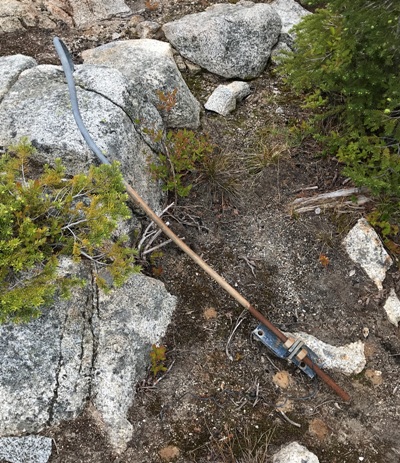
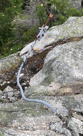
Anchor
Anchor
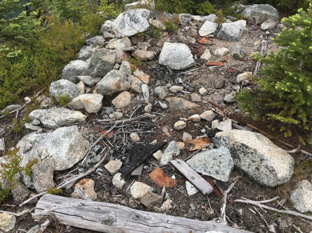
Foundation
From the trail looking up to the site
Some of the Bark Cabin camping site on east side of Icicle Creek


