Lookout Mountain Site (Longmire)
WillhiteWeb.com
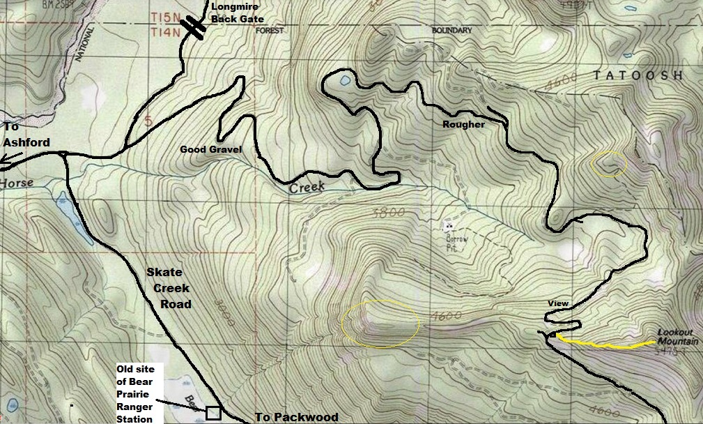
The Kresek Lookout Inventory says this Lookout Mountain had a 10-foot wooden tower with an L-4 cab in 1932, destroyed in 1968. If true, there really should be some kind of evidence. Unfortunately, no evidence on site has been found that this lookout existed. Several lookout enthusiasts have been to the highpoint and we all doubt an L-4 cab was located there, especially so recently. Another possibility is that the site was not on the summit, although the inventory does give the summit elevation. I have circled 2 locations on the map that could be interesting to check.
Elevation: Said to be at 5,475 feet
Hiking Distance: About a half-mile one-way
Elevation Gain: 500 feet from road highpoint
Access: Gravel road, high-clearance needed
Map in 1924 shows Lookout Mountain above Bear Prairie Ranger Station
This area has significant history:
1861 James Longmire built trail from Yelm to Bear Prairie.
It is said that Bear Prairie was a site named by pioneers James Longmire and William Packwood, who killed a bear here as they were exploring possible routes for the railroads in the 1860s.
In 1870, when Hazard Stevens, P.B. Van Trump, and Edmund Coleman set out to make the first documented climb of Mount Rainier, they enlisted Longmire to guide them as far as Bear Prairie, based on his knowledge of the landscape. The group camped in a drier part of this meadow that August, surrounded by the charred remnants of a recent forest fire, and suffered a near-fatal blow to their campaign when, as they were sitting around their campfire eating dinner, one of the dead trees came crashing down right through the middle of their camp. Fortunately no one was injured, and the following day Longmire and Stevens trekked down through Skate Creek Canyon to the Cowlitz River, where they found and hired an Indian guide named Sluiskin to take the climbers the rest of the way to Takhoma. Longmire set out for home alone as Sluiskin guided the three climbers up into the Tatoosh Range from Bear Prairie, deciding, surmised Van Trump, that since he was being paid a dollar a day, there was no point in taking them the easier way up the Nisqually River. Still, Stevens and Van Trump kept up easily, but Coleman, a decade older and suffering from a minor ailment, fell behind, and finally returned to Bear Prairie, where he waited until the others had returned from successfully climbing the mountain, all but Sluiskin, that is, who refused to climb higher than the snow line.
1883 Longmire discovered mineral springs by the Nisqually River on his return from the third successful climb of the mountain.
1884 The first trail was constructed to Longmire Springs by the Longmires. Longmire began development of his claim and constructed first building.
1885 Mrs. Elcaine Longmire named Paradise on her first trip to the area.
1906 Bear Prairie on Skate Creek had a Ranger Station that was seasonally occupied.
1947 the Skate Creek Road was built.
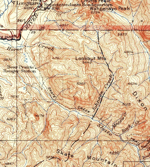
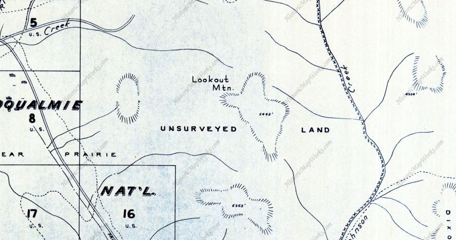
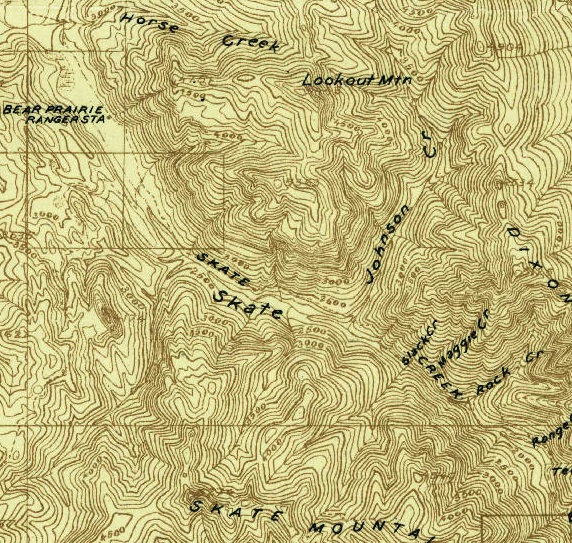
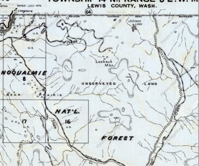
1928 map
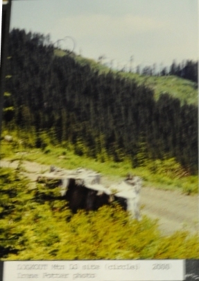
This image was in a Kresek photo album. Taken by Irene Potter in 2000. The picture did not say which Lookout Mountain it is but the picture was in a folder around other pictures in this area. Circle marks the location which is not on the summit. Terrain and types of clearcuts match the area.
1948 Metsker with no roads on Lookout Mountain
1975 showing roads going up north side of Lookout Mountain.
Access:
The access road goes almost to 4,800 feet, a rare treat in Western Washington. I believe the road was constructed in the 1970ís. The road is in good shape in many places but a few spots in the upper portion are getting rough. A high-clearance vehicle is probably best. This access road is right off the Skate Creek Road that cuts between Ashford and Packwood. Turn off the Skate Creek Road where the very nice gravel road veers off that goes to the workers secret entrance to Longmire. The road has several camping sites where people stay if camping in the National Park is full.
Route:
There is a climber trail up the west ridge but it is faint and was definitely created with boots and not tools. Just stay on the ridge to the summit. There are 2 bumps along the way, the first one almost feels like it could have had a building on it.
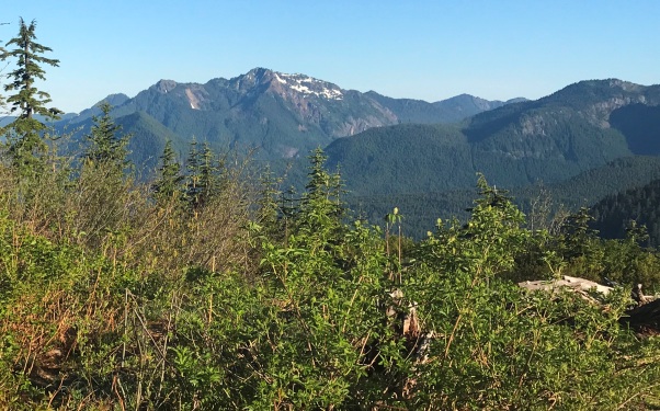
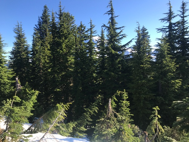
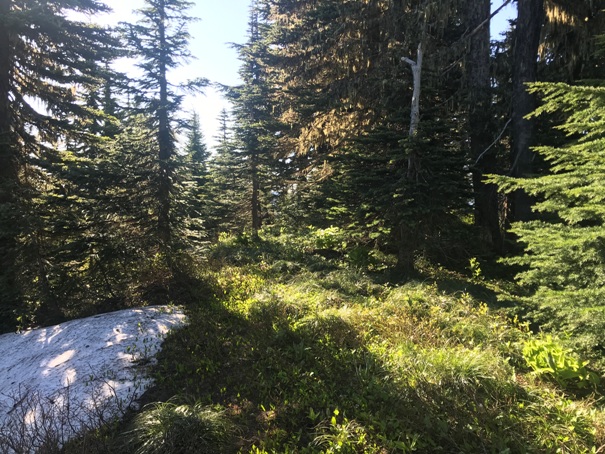
Point 4,751 which shows up on the 1924 map (shown below) overlooking Bear Prairie Ranger Station. I can see the ranger station having an emergency lookout directly above the Ranger Station that overlooks the valley. I believe this promontory was bald of trees during that time. The other location is just a hunch.
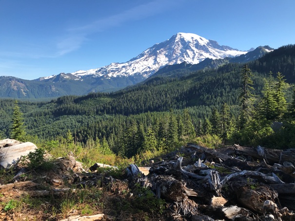
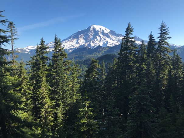
Mount Rainier from the road near the start of the route
Mount Wow from the road
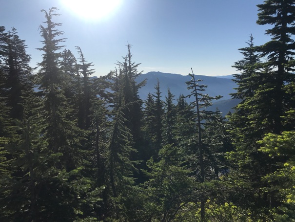
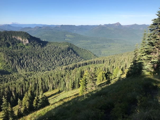
Southwest from the summit
Mount Rainier from the ridge, below the summit in route.
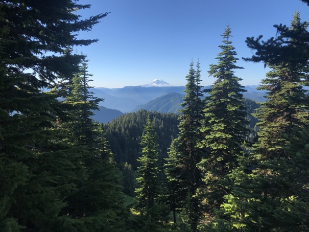
Southeast from the summit to Mt. Adams
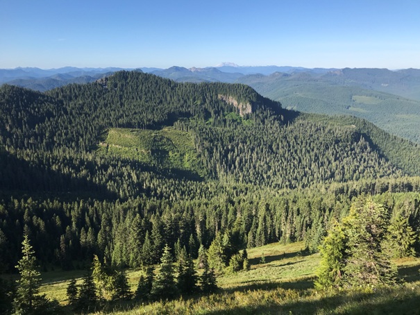
South from the summit to Mt. St. Helens
Mt. Rainier from the summit now has trees
Summit area is pretty flat but nothing has been found
Looking East from the summit


