Lone Mountain Lookout Site
Lookout Elevation: 1,178 feet
Hiking Distance: 1.3 miles one-way
Elevation Gain: 700 feet
Access: Paved, possibly restricted, permit needed.
WillhiteWeb.com
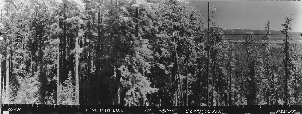
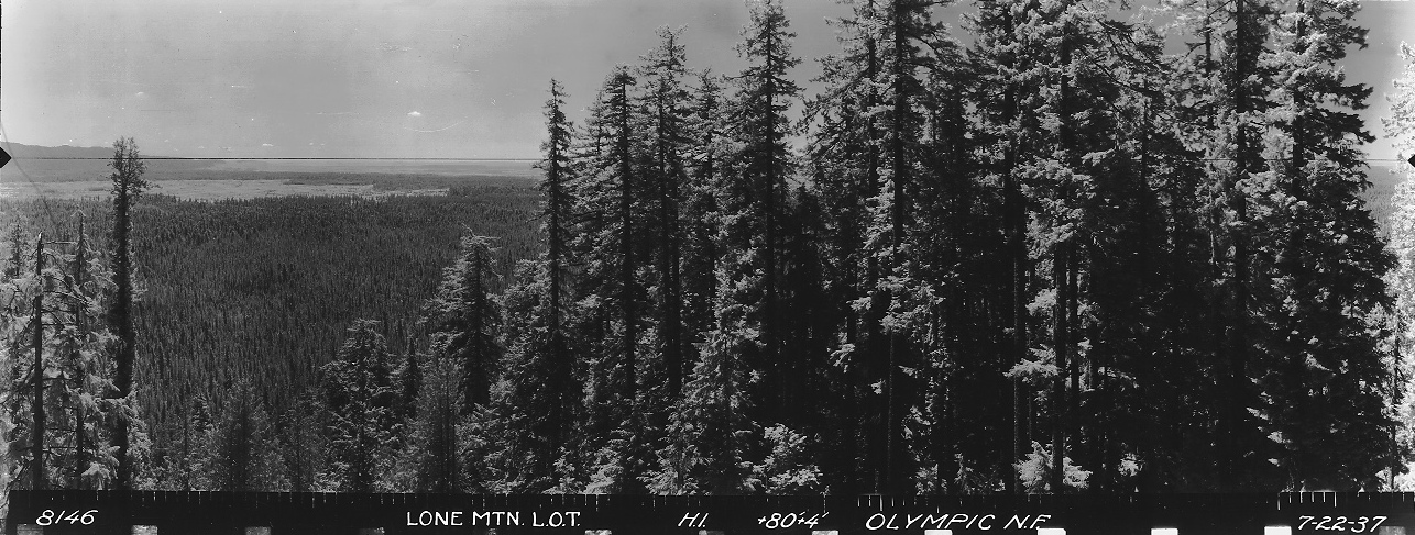
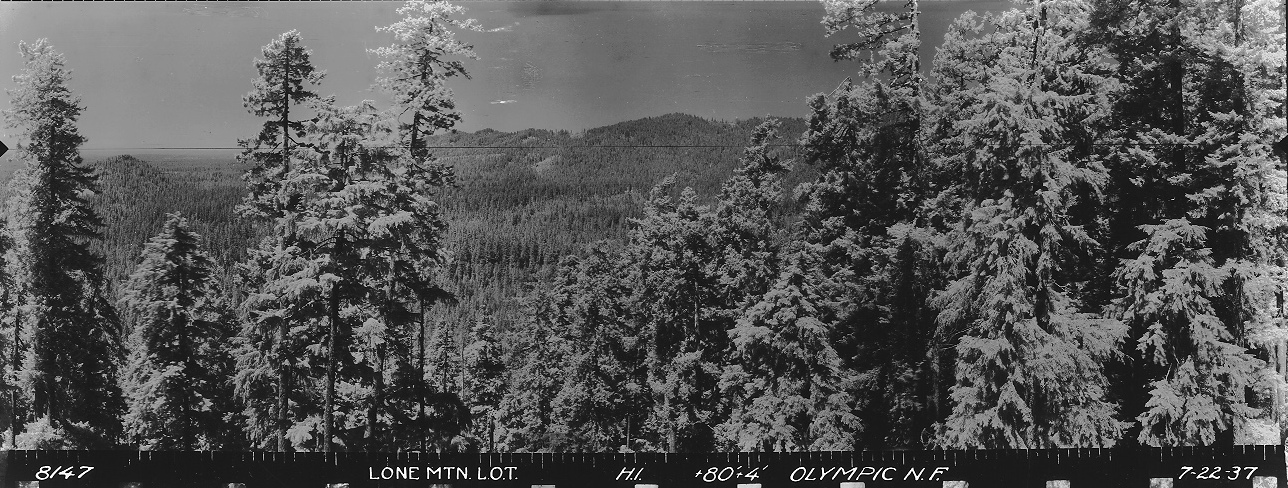
Take a look at the panoramic shot on July 22, 1937 and you see peek-a-boo views between the trees. Images shot 80 feet above ground plus 4 feet for the tripod. Surely the lookout must be new that year, and so luck would have it, we have a quote from earlier that spring confirming it.
May 10, 1937: "Carrying 10 tons of sand, gravel, concrete and steel up a mountain peak by pack horses for construction of a steel lookout tower is the feat accomplished by R.E. Voorhies. The job took 12 days of patience and hard work. Pack horses were the only possible means of carrying the material up the steep trail to Lone mountain where soon will rise an 80 foot tower. When completed the station will command a clear vision over the entire Quinault area. Lone Mountain is about five miles west of the lower end of Lake Quinault and about a mile south of the Olympic highway."
No more information is available until a USGS party visits in 1954. They call it the Lone Mountain Forest Service Lookout Tower, saying it was an elevated steel structure, supported on four legs, which is 90 feet in height. (I have found they often guessed the heights wrong with lookouts….which is ironic).
In 2011, the tower was taken down and sold for scrap.
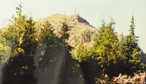
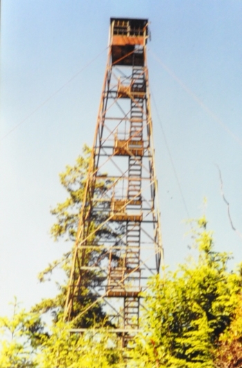
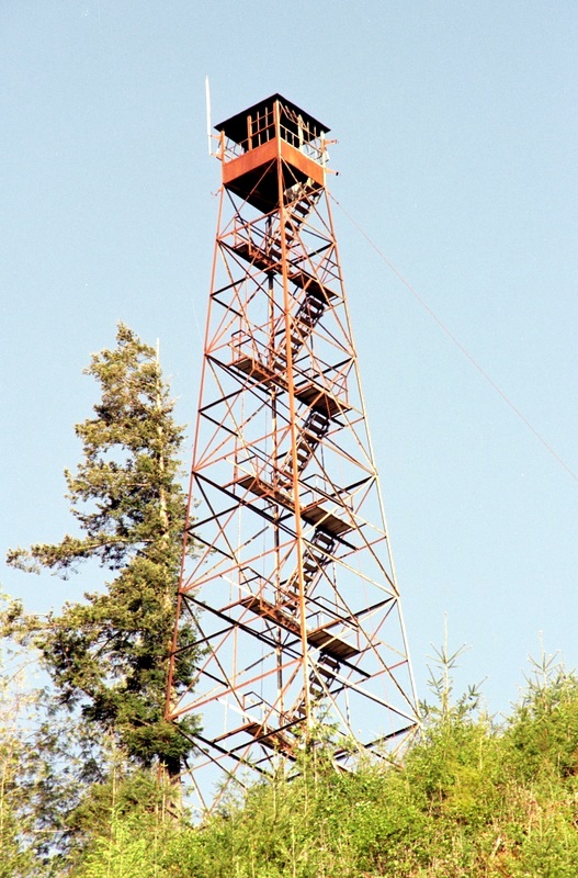
Tower in 2003, photo by Irene Potter
Tower on top of Lone Mountain in 1996, Ray Kresek photo
Photo by Tammy M.
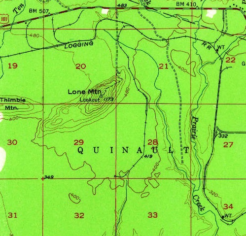
1955 USGS, 1963 update
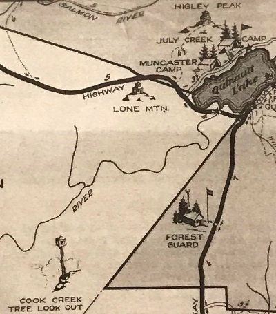
Old Quinault Lake Recreation Area map
Looking Southwest
Looking Southeast
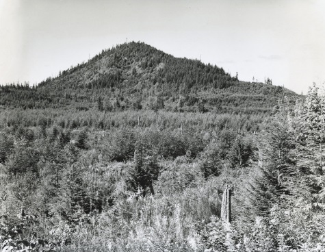
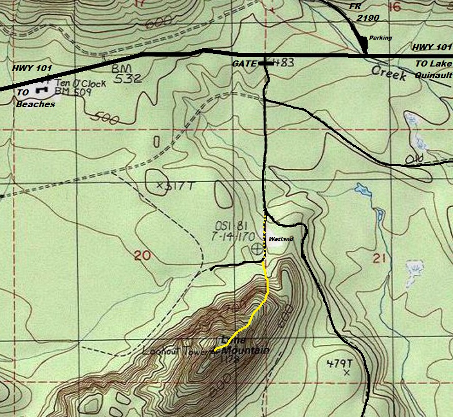
Lone Mountain is on the Quinault Tribe Lands. Respect any signs if up. Access permits are available some years.
Harold Weaver, taken on September 24, 1964
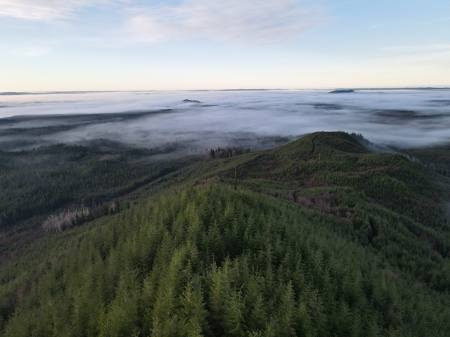
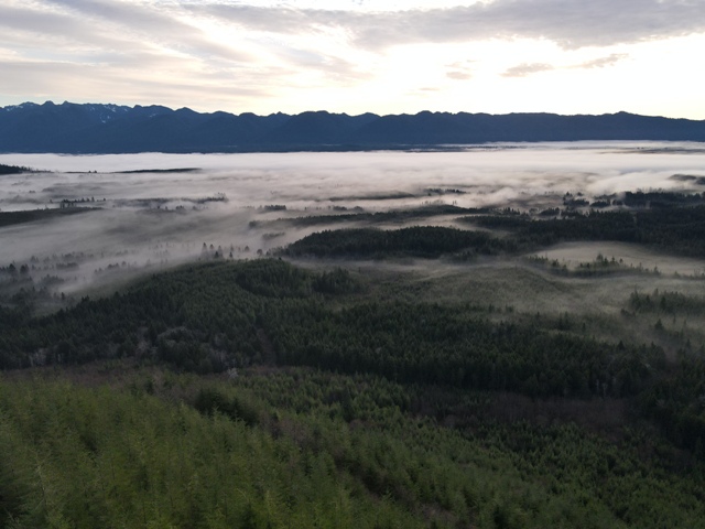
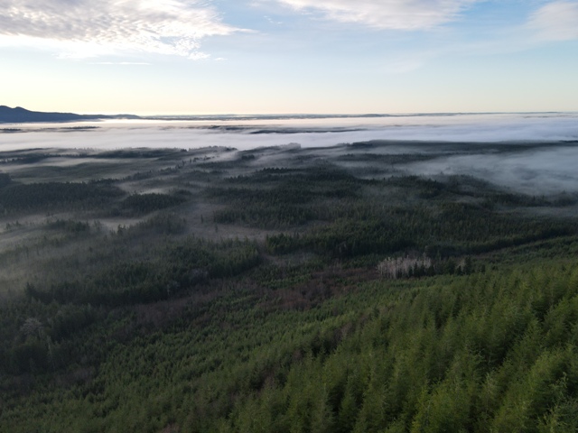
Looking North
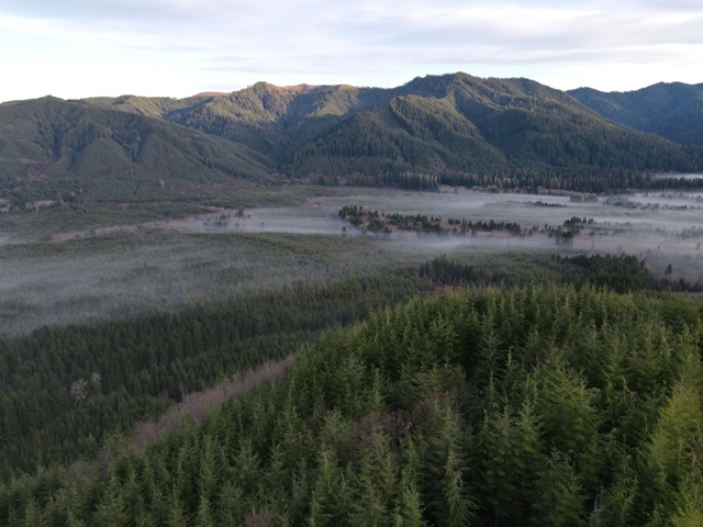
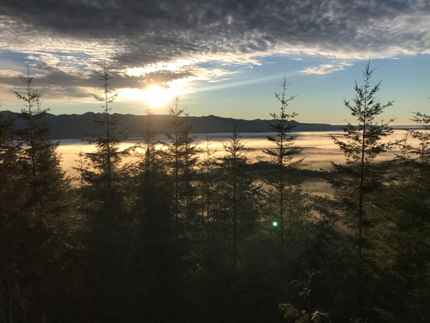
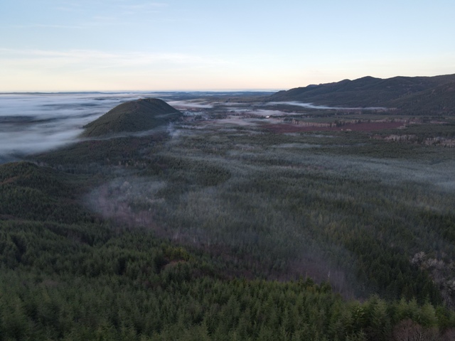
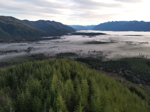
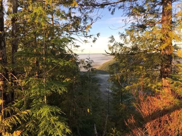
Looking West at Thimble Mountain. (drone at 80 feet)
Looking East over a foggy Lake Quinault, Amanda Park and Neilton. (drone at 80 feet)
Looking up the Quinault River Valley (drone at 80 feet)
Looking North to Salmon Creek Ridge (drone at 80 feet)
Looking South Southeast (drone at 80 feet)
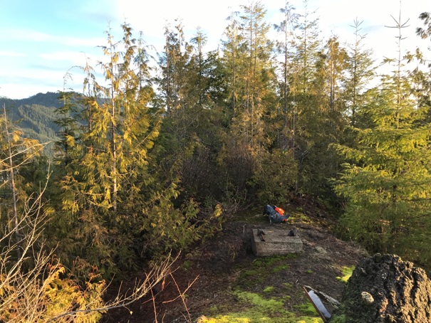
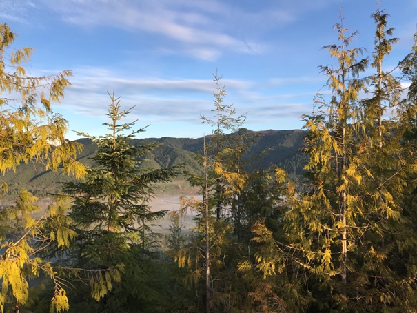
Lookout site in 2022
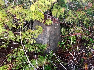
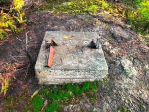
Footings
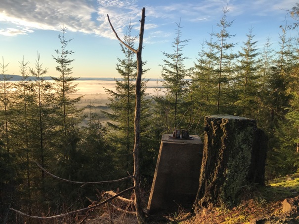
SW view in 2022
East view in 2022
North view in 2022
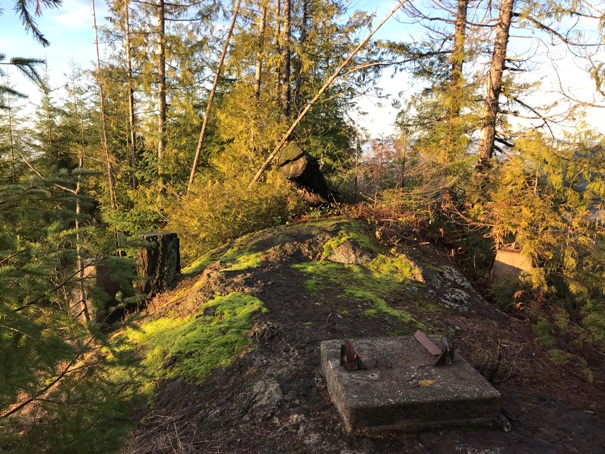
Lookout site in 2022
Footing and some view
Lone Mountain Road sign on Hwy 101
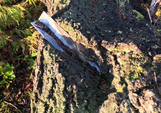
On top, a tree has some anchors right through the center.


