Little Jack Mountain
WillhiteWeb.com
Hike this high vantage point right above the highway for total solitude even on the most busy of weekends. With the low elevation approach and endless elevation gain, most people keep driving or hiking right past the trailhead. The occasional hiker does venture up the trail, as do mountain climbers climbing Jack Mountain, this being one of three popular approaches to big Jack.
Lookout Elevation: 6,745 feet
Hiking Distance: 8 miles each-way
Elevation Gain: 5,300 feet
County: Whatcom
Access: Paved
Access and route:
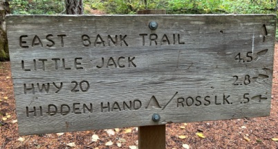
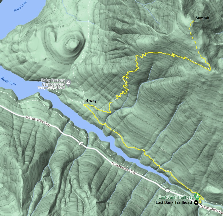
Take Highway 20 to the East Bank Trailhead. Drop down the trail, cross the river on bridge and turn left. This next section of trail is an old mining road built for the 1880 Ruby Creek Gold Rush. Go a total of 2.7 miles from the car to the Little Jack Mountain Trail starting point. This is at a 4 way trail intersection. Follow the trail up until you loose it, at which point the open meadows make going obvious the rest of the way.
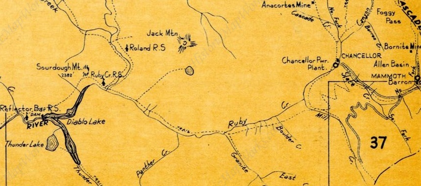
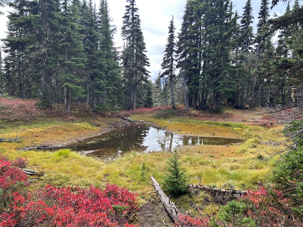
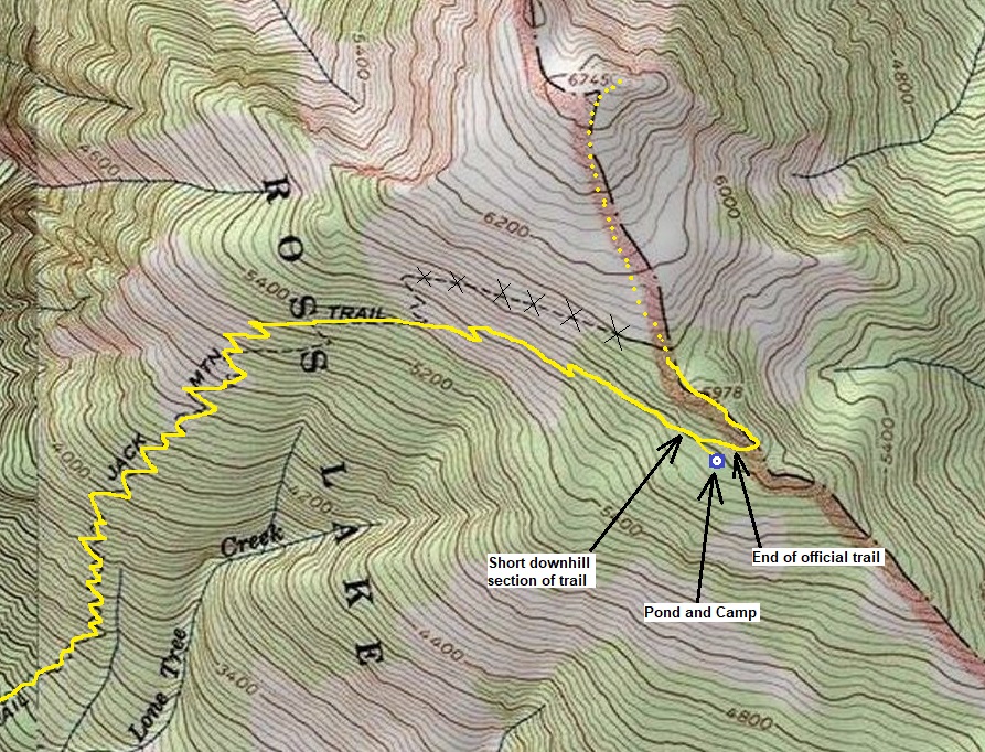
In the early 1900s, the Forest Service built the Little Jack Trail for the purpose of grazing pack animals on the large meadows of Little Jack Mountain. It is a well built trail and at the time of construction would have been easy for stock animals to carry supplies. Why the trail just ends was mysterious until I visited. The trail during the last mile stops climbing directly up the mountain but does a slow rising traverse across of the mountain, even dropping downhill slightly near the end of the trail. At this point where the trail drops, at the lowest point, keep an eye out for a pond about 200 feet below the trail. Overgrown trails lead down to this pond where signs of an old camp exist. The main trail from this point above the pond is more of a climbers trail and was not built by the original trail crew. The original trail had this pond as a destination at 5,800 feet, something confirmed by the 1942 metsker map below. I would guess this pond is where the shepards camp existed, in the protection of the trees at this water source. Regarding the emergency lookout, the camp may have been used by a fire lookout person, who would then hike the meadows up to the summit each day to do the observation. Although, the 1931 trip report does seem to indicate the camp was at the summit
Lookout History:
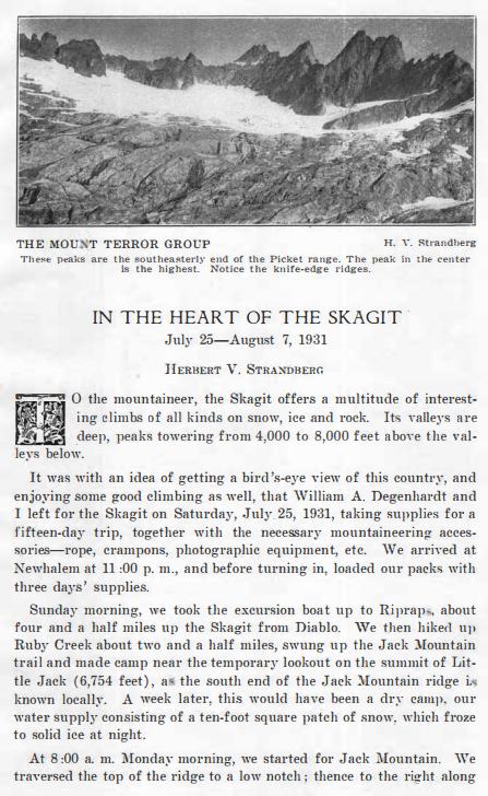
In a 1931, there is a climbing trip report in the Mountaineer magazine where the author makes mention of a temporary lookout at the summit of Little Jack Mountain. This is the only knowledge we have of this lookout site.
Trail History:
Lookout Communication:
I saw no evidence of a phone line on the trail or in the meadows. A line did run along the base of the mountain on the East Bank Trail. I would guess observers would need to run down the trail to report. This was the case during this same time period for Crater Mountain next door, the lookout on Crater had to drop 7.5 miles down to the Guard Station and same phone line at the bottom of the valley.
Trail Today:
For the most part, this is still a good trail to hike. In a few places the trail is overgrown and other places have some ground slumping wrecking the trail. There is some deadfall over the trail but nothing to time consuming. I would guess maintenance on the trail is irregular at best. The final 600 feet once all the trails are faded out are meadows with no official trail, although small way trails exist in places.


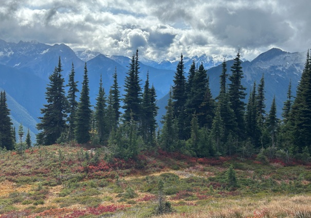
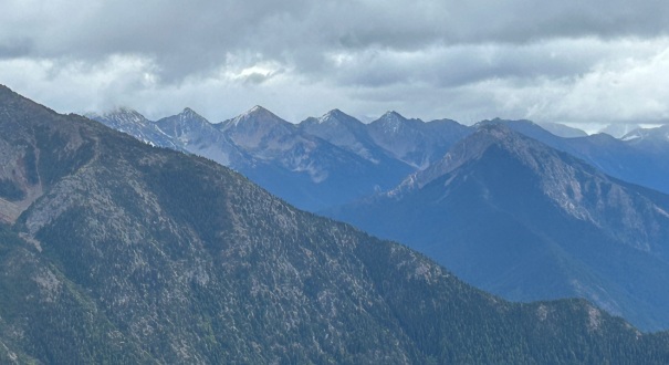
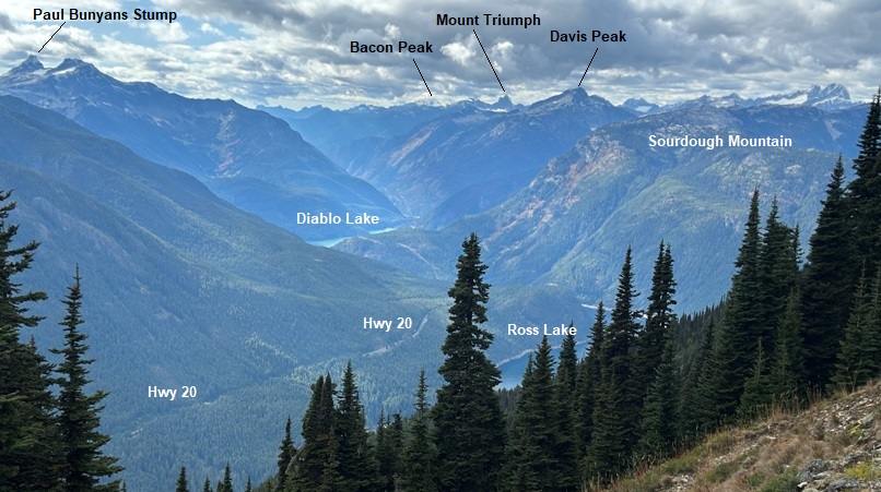
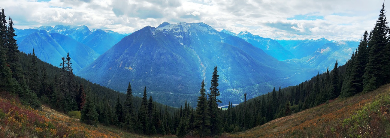
Shots on the way up the mountain
Ruby Mountain in the center
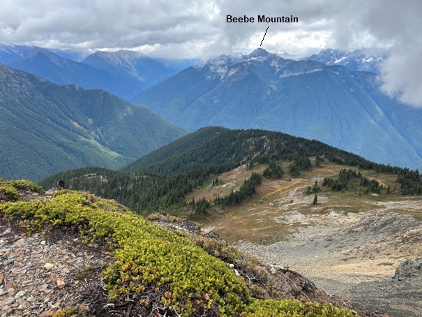
Little Jack Mountain on far left, Jack Mountain in center left and Crater Mountain on right.
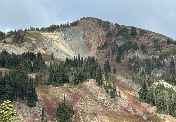
Upper slopes of Little Jack Mountain
Hiking in the meadows
Looking West and Northwest from the summit
Looking up the Granite Creek Valley (route of Hwy 20)
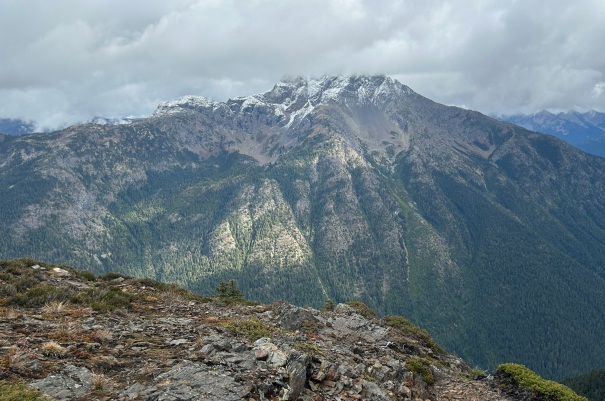
Crater Mountain
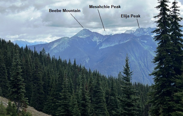
Peaks to the East over the shoulder of Crater Mountain
1942 Metsker map showing the Jack Mountain Trail going to the pond at 5,800 feet. The Ruby Creek Ranger Station and bridge over the Skagit River are now under Ross Lake.
The pond at 5,800 feet at the end of summer on September 30th, 2023. The pond would be much higher and deeper during the summer months. I believe the sheep camp was to the right of the pond.
Trail starts quite tame for 2.7 miles before kicking into gear.
1931 Mountaineers Trip Report
Sign at the 4 way intersection


