Lightning Peak
WillhiteWeb.com
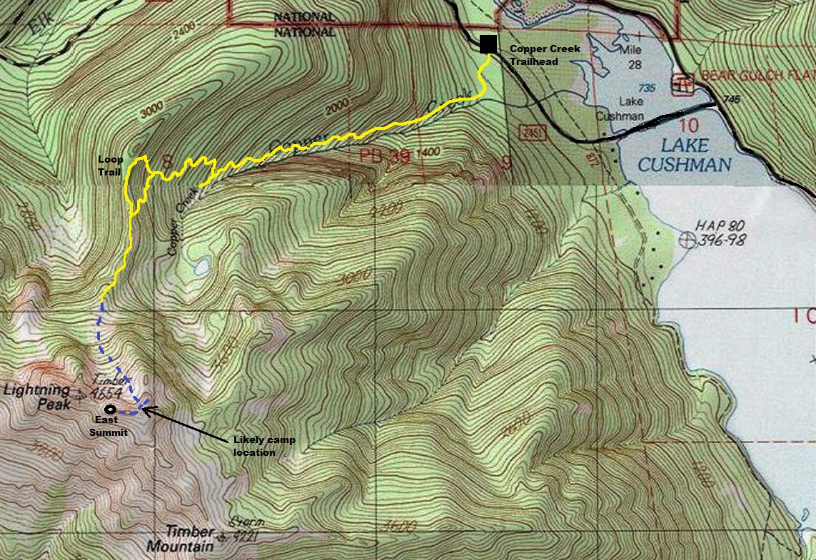
The Kresek inventory says there was a camp in the 1940s on Lightning Peak. Also, for many years now, the Olympia Branch of the Mountaineers have had Lightning Peak as one of 20 lookout points to earn the Lookout 24 patch. After visiting the summit area, I am fairly confident the lookout was not on the actual 4,654 foot west summit. The East summit is where most hikers stop and even this summit seems unlikely for a camp. The most realistic location is some flat areas just East of the east summit where the current route first hits the ridge, where the lookout would have the best views into the Skokomish Valley. Time will tell I guess.
Lookout Elevation: 4,600+ feet
Hiking Distance: 3 miles give or take a mile
Elevation Gain: 4,000 feet
County: Mason
Take US101 to Hoodsport. Turn onto SR 119, drive 9 miles to the junction with FS Road 24. Turn left, continue 6 miles to FS Road 2451. Turn left and cross the causeway. The trailhead is a half mile on this road located on the left. No permits needed to park.
Access:
Yellow is trail, blue is more like a route from the boulder field.
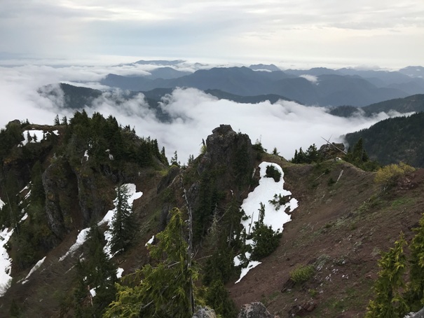
The trail is an old mine access route that dates prior to 1915. The ore extracted was moderate grade manganese with some copper. The trail starts through classic old-growth forest with large big-leaf maple, hemlock, cedar and douglas-fir. At 0.2 miles the trail passes the Brown Mule mine site, then it goes into the canyon and becomes a classic mining trail, steep and rugged. At 1.3 miles the trail splits. Go right, left is the abandoned Apex Mine site. At 1.9 miles the trail branches again. This is a loop. If climbing Lightning Peak, the fastest route is left, climbing to the ridge. Once at the ridge, find the unmarked way trail leading south on the ridge. Follow the way trail. There is one short scramble along the way up a forested rock face. The trail hits a drainage at a boulder field. Follow this drainage up in snow or if no snow following cairns. It will veer left below cliffs until you reach the ridgetop and amazing views. Follow remaining open ridge to the summit on rocky, slightly exposed rock. The East Peak is where most people stop but 20 minutes further (with some exposed scrambling) is the highest point of Lightning Peak.
Route:
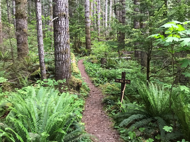
Trailhead (Trail No 876)
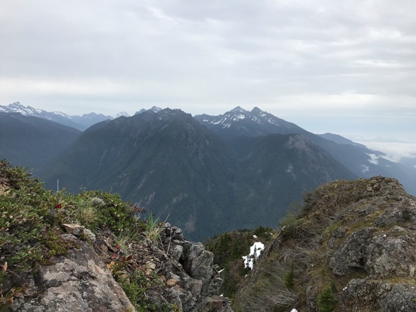
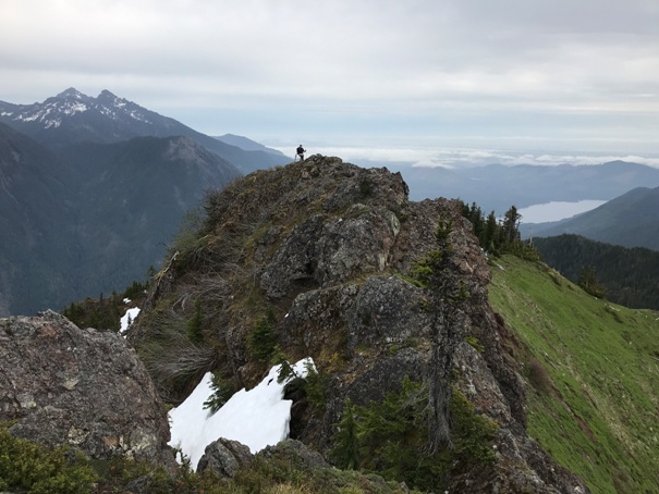
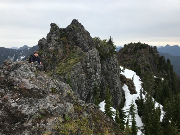
On the final ridgetop traverse
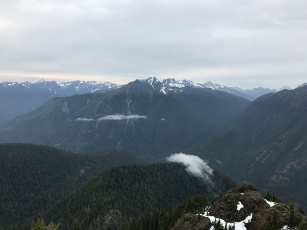
Copper, Elinor and Rose
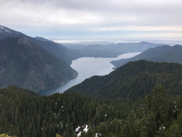
Lake Cushman
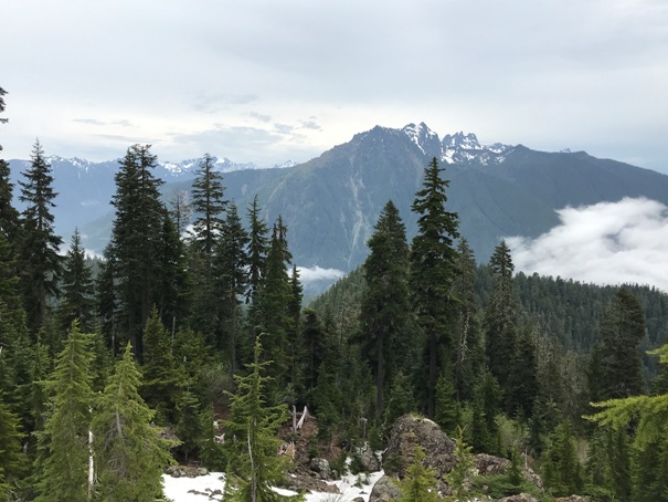
Mount Lincoln from the boulder field
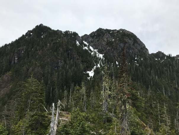
On the ridge climbers trail heading to the gully full of snow
Mount Lincoln from the summit
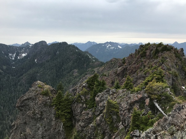
East summit on left, true summit on right
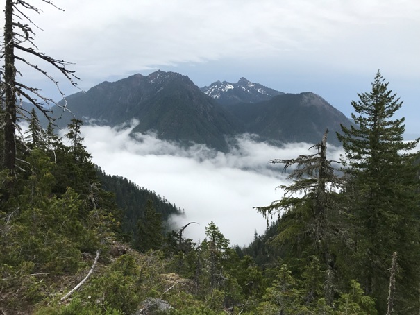
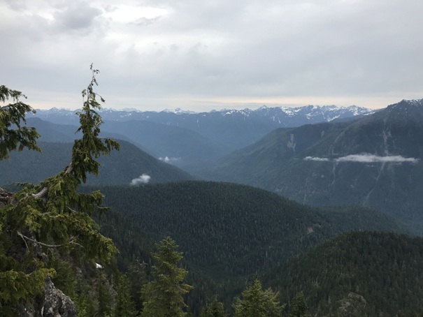
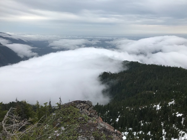
Looking up the Skokomish
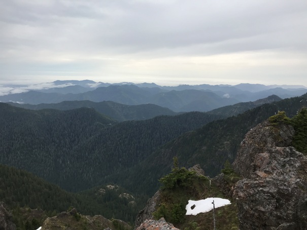
Looking South
Looking Southeast
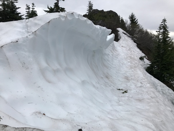
Snow wave
Looking East
Copper, Elinor, Rose and Washington from the summit
Looking West to the true summit and beyond


