Lakeview Mountain Lookout Site
WillhiteWeb.com
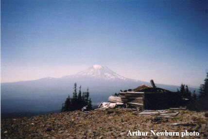
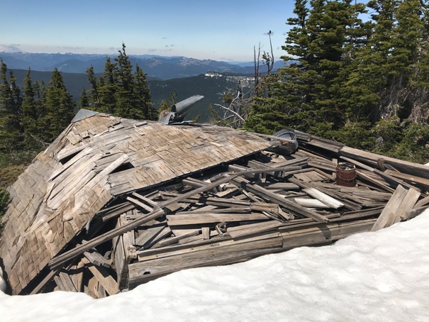
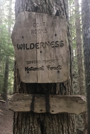
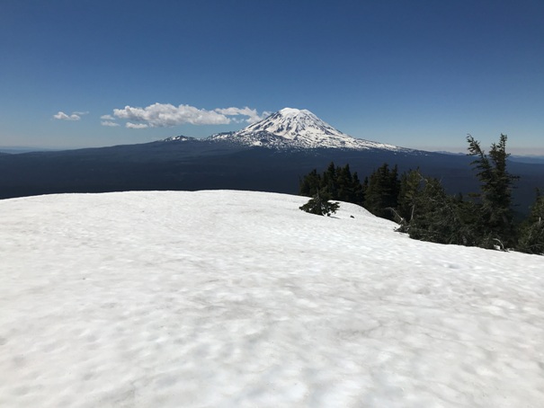
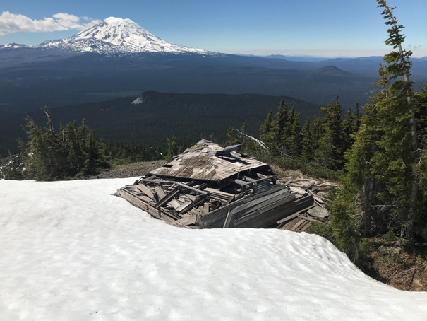
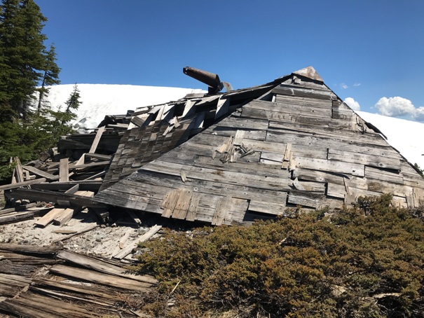
The North half of Lakeview Mountain is in the Goat Rocks Wilderness, while the South side is inside the Yakama Nation. The L-4 cab was built in 1935, then abandoned just 10 years later in 1945. For many years, the lookout sat alone, rotting away and finally it collapsed. There currently is a significant about of debris remaining. The mountain has 1,380 feet of prominence and with a fairly open summit, the views still remain, and they are vast.
Lookout Elevation: 6,660 feet
Hiking Distance: 6.5 miles
Elevation Gain: 3,000 feet
Access: Good Gravel Road (paved at end) to Walupt Lake
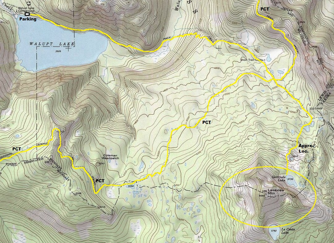
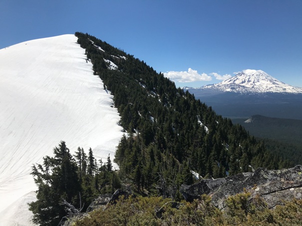
From Walupt Lake, it is about 6.5 miles to the summit. The Pacific Crest Trail traverses the slopes but you just cross over it. A small trail continues up to the ridgecrest, then turns south to get to Gertrude Lake near the top. The last half mile is an off-trail scramble. Look for the lookout house about 60 yards south of the summit. In early season, with snow from the PCT, it was just an easy snow hike up to the north ridge. I then climbed up the north ridge, over a false summit.
Route:
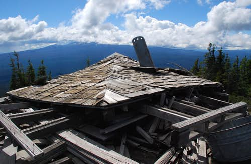
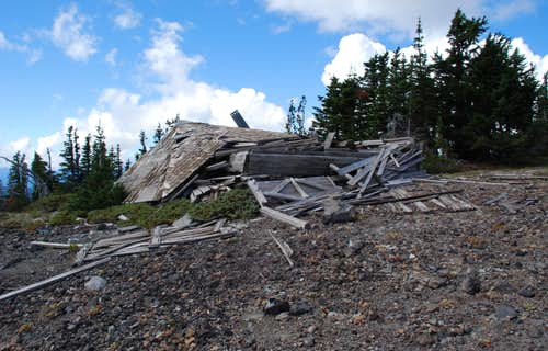
Lakeview Mountain Lookout in 2006
Lakeview Mountain Lookout in 2016 (Klenke)
Lakeview Mountain Lookout in 2016 (Klenke)
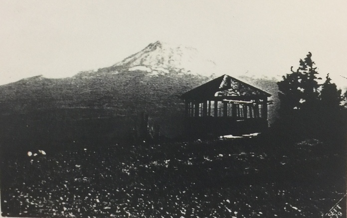
Lakeview Mountain Lookout, date unknown
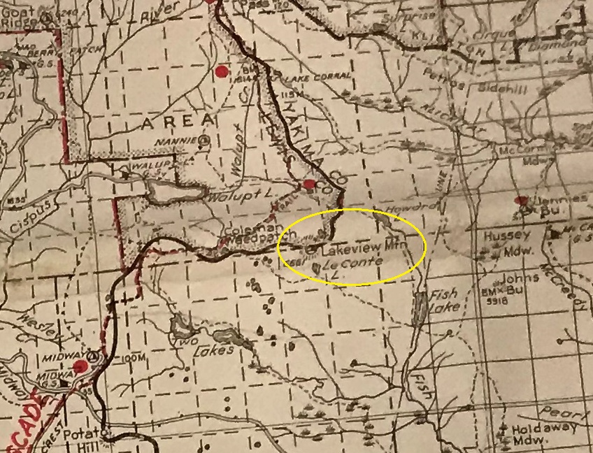
1940 Columbia National Forest
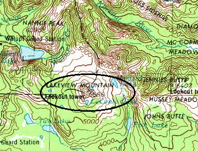
1958 USGS, 1974 update
Trail portion of the route up Lakeview. With snow, just choose your own adventure from the PCT.

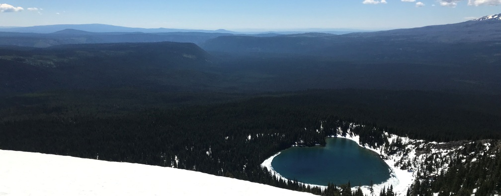

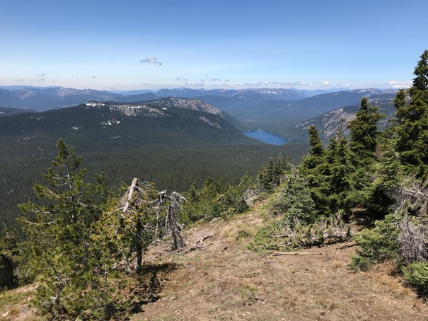

Looking SE over Le Conte Lake
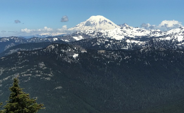
Looking North to Mt. Rainier and the Goat Rocks
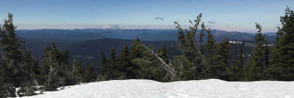
Looking West to Mt. St. Helens
Looking NE to Jennies Butte
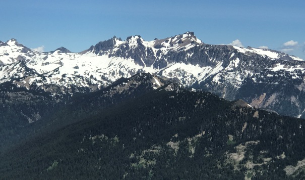
Looking North to the Goat Rocks
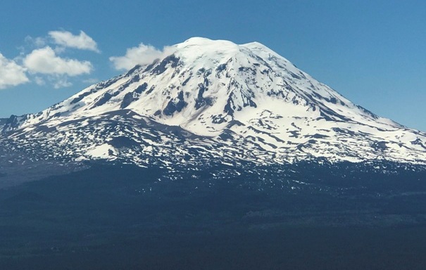
Rainier may be taller but Mt. Adams is bigger
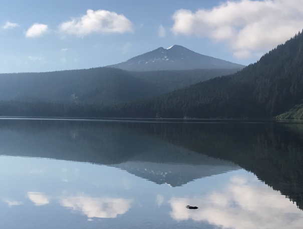
Lakeview Mountain with its dominate view over Walupt Lake
The abandoned lookout
A well built roof
From the summit, the lookout site is just down the snow in the center of the picture
Gilbert Peak, the highest peak in the Goat Rocks
A distant Mt. Rainier
The summit from the north ridge
Walupt Lake from the summit of Lakeview Mountain


