Kodak Peak Lookout Camp
WillhiteWeb.com
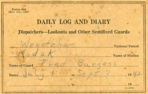
In 1934 this location was a camp. On August 25, 1934, panorama photos were taken. In 1935, the Wenatchee Daily World reported that short wave radio sets were being used on remote points without telephone connection and one was on Kodak Peak. In 1942 the lookout was Fred Burgess, according to a 1942 Daily Log and Diary that turned up. His communications were with lookouts on David, Carne, Rock, and Poe Mountains. It is thought the lookout site was abandoned in the early 1940s. In the mid-1960s, Dick Bryant told me he and his brother were hiking to the summit and found a string of heavy gauged telephone wire and deduced at the time it had to have gone to a past lookout there.
Lookout Elevation: 6,121 feet
Hiking Distance: Over 10 miles one-way from any direction
Elevation Gain: Over 5,000 feet from any direction
County: Snohomish and Chelan
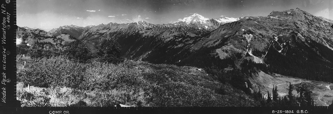


Looking North, August 25, 1934
Looking Southeast, August 25, 1934
Looking Southwest, August 25, 1934
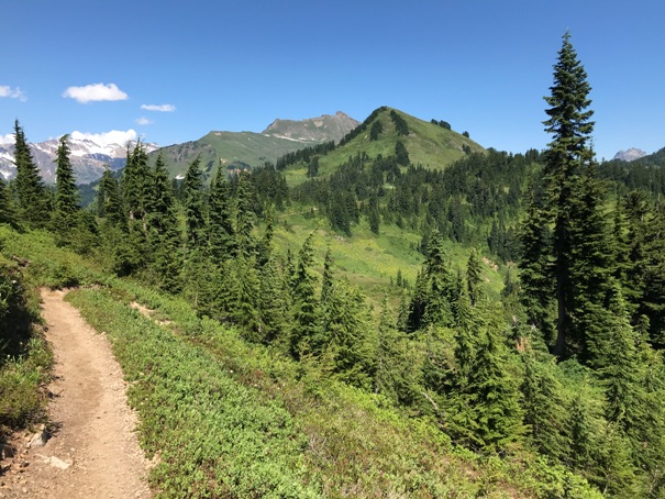
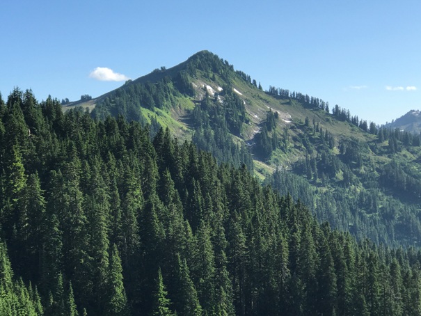
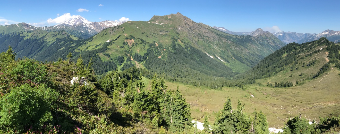
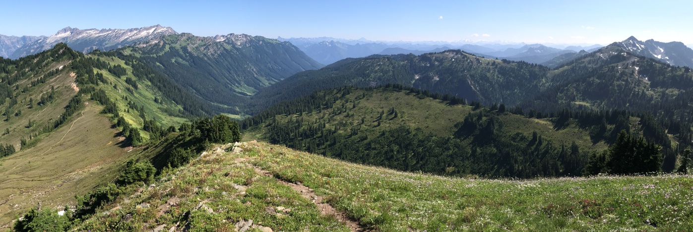
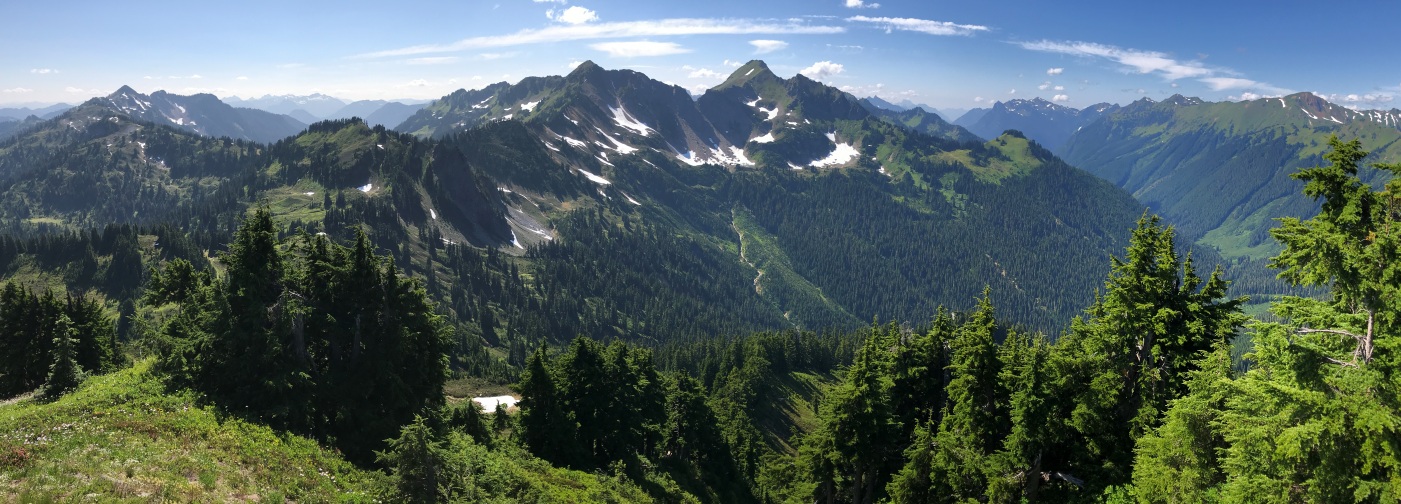
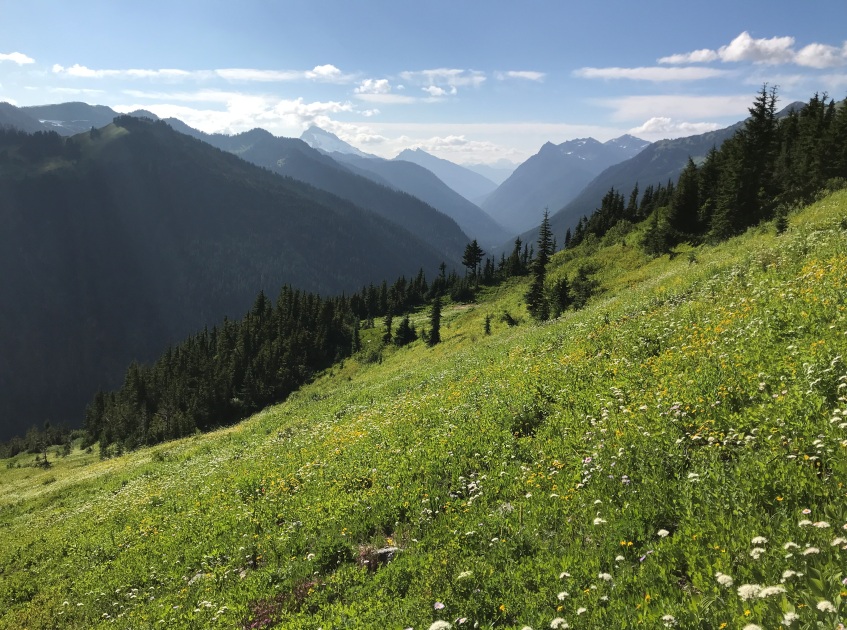

Approaching Kodak from the south on the PCT
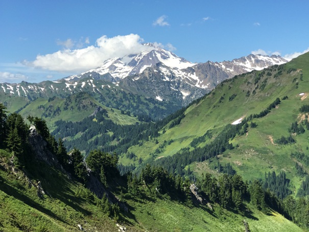
Glacier Peak
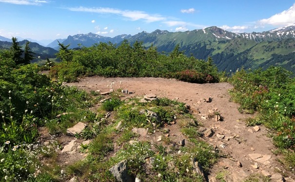
Approaching Kodak from the North on the PCT
Lookout site on the summit of Kodak Peak (above and left images)
North to Indian Head Peak
Chikamin Fire
Johnson Mountain
Blue Mountain
Skykomish Peak
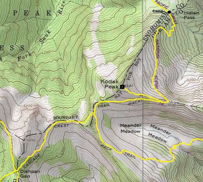
A brief look around the summit did not reveal any relics. Interestingly, the trail up the ridge seemed like a standard climbers trail until just before the summit where a trail switchback was made that no climbers trail would ever have. Definitely a switchback made by a trail crew (or the lookout, as the log suggests he worked on the trail during down time).
2020 Visit
