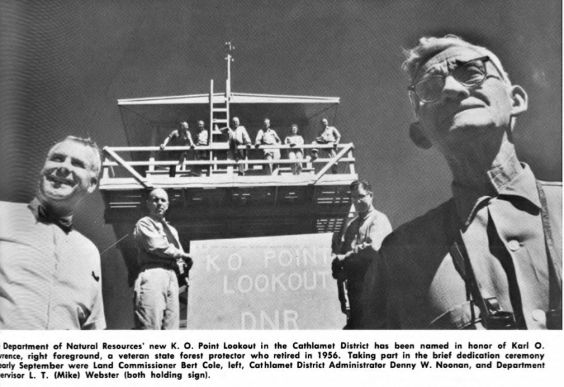
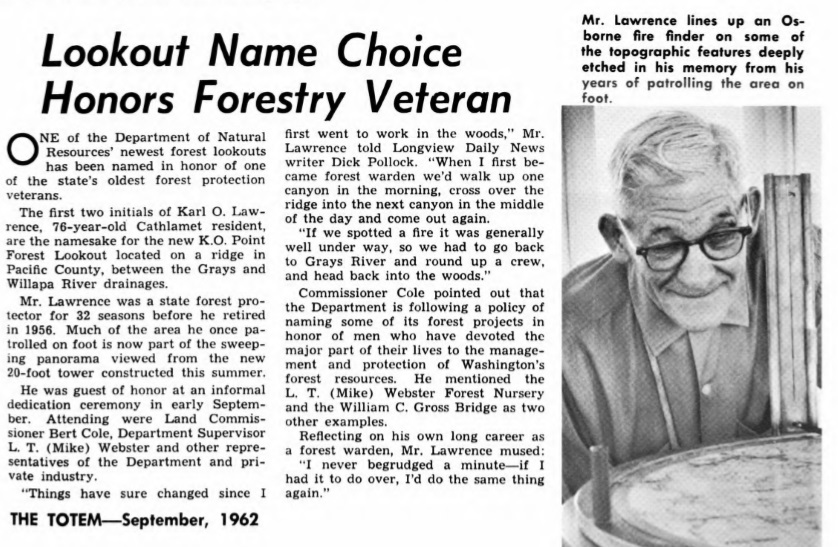
KO Peak is located on the Willapa and Columbia River Divide. KO stands for Karl O. Lawrence, a former DNR 32-year employee. A cabin was reported at this point in the 1940s. In 1962, a 20-foot wooden DNR live-in tower was built by DNR carpentry crews for roughly $8,000. During the dedication in September 1962, Karl O. Lawrence was the guest of honor at the informal dedication ceremony. Also attending the ceremony was Bert Cole, commissioner of public lands, and other officials from the DNR, Weyerhaeuser, and Crown Zellerbach Corp. The lookout tower covered a protection area covering Pacific and Wahkiakum counties and a small part of Oregon coastline forests. This lookout replaced the old Hull lookout which was at a lower elevation on the next ridge south. The new location on KO gave sweeping views in every direction and eliminated some blind spots which made the old lookout less effective, said L.T. Webster (a DNR supervisor).
A newspaper reported on June 10, 1968 that "With aerial detection of forest fires proving more effective, only one lookout will be in service in the county this year. Miss Karin Johnson, of Willapa, will be on duty at the KO Point lookout located near the Pacific-Wahkiakum county line in the Green River area."
K.O. Point served until it was closed in 1975.
K.O. Point Lookout
Lookout Elevation: 2,900 feet
Hiking/Biking Distance: 8.5 miles each way
Elevation Gain: 2,900 feet
Access: Good Gravel to Gate. Access permit needed.
County: Pacific
WillhiteWeb.com
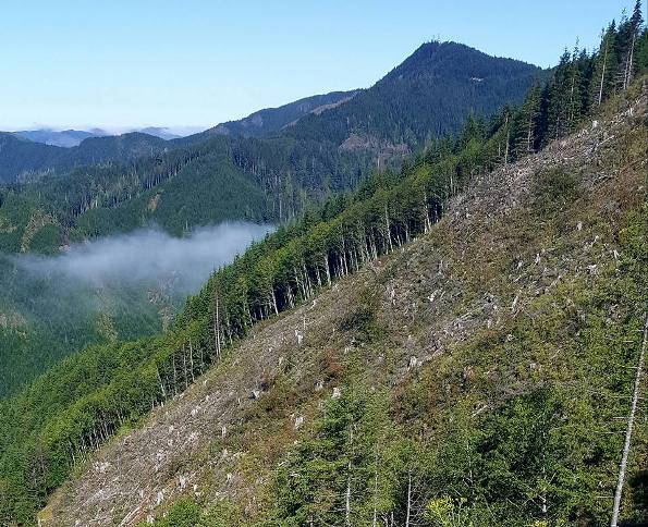
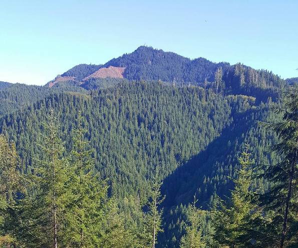
View up to KO Point

KO Point in distance
Photos by Klenke
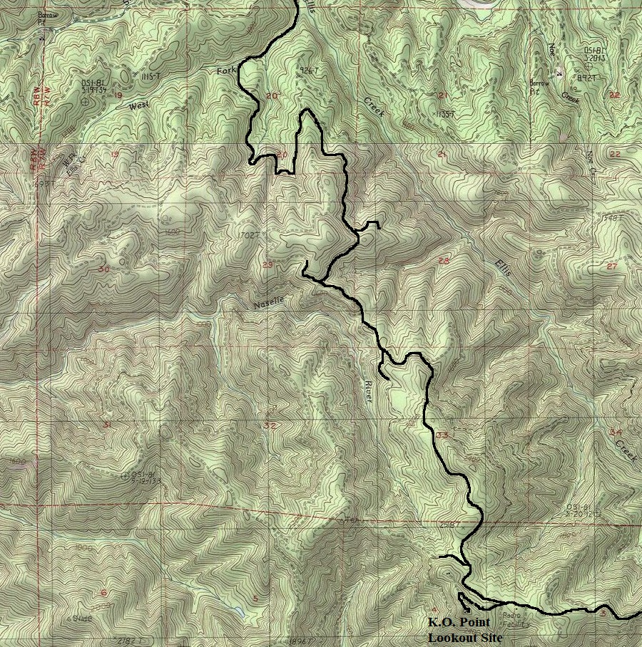
Access & Route:
I chose to bike logging roads since I had a Weyerhaeuser, non-motorized South Pe Ell Permit. There is some other routes from the south using State Lands, but some cross-country travel is required. Using logging roads from the north is a long bike ride but offers few complications as long as you keep to the proper roads. There are many road splits and active logging is always a potential problem. Use map below for a general idea of the route I took. Splits and side roads not shown.
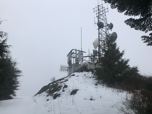
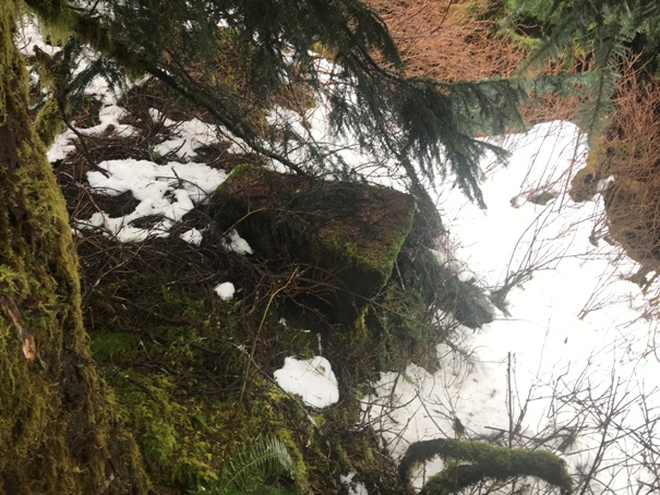
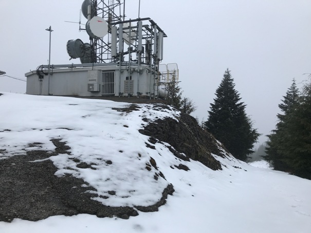
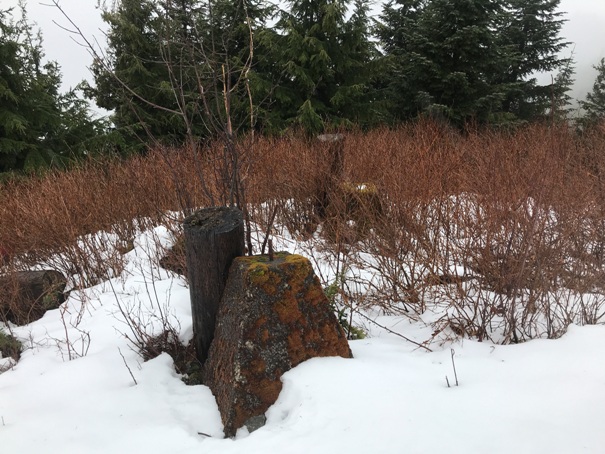
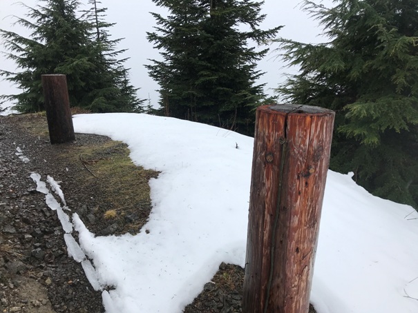
Photo by Klenke
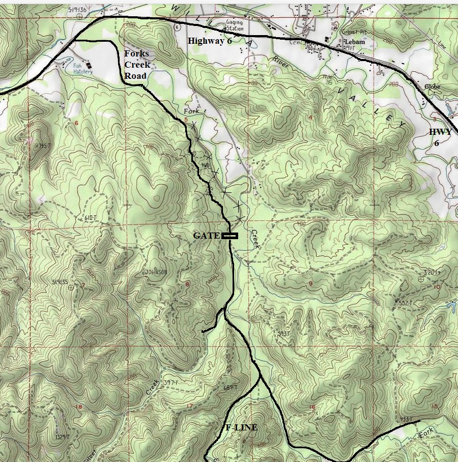
Around a 8.5 mile bike ride up the road unless you purchase a vehicle permit, then you can drive.
Two footings at the summit
One footing tossed down the hillside
Unknown purpose
Communication building at the summit
Communication building at the summit (February 2021)


