
WillhiteWeb.com
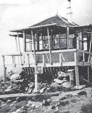
Built in 1931, Klone was an L-5 cab built at the highest point of Klone.
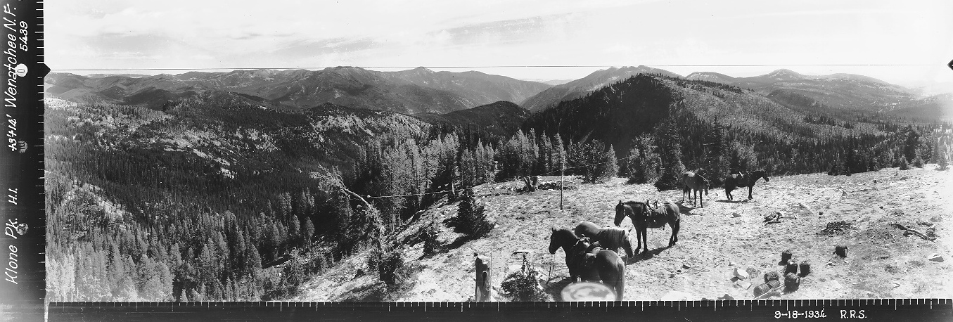
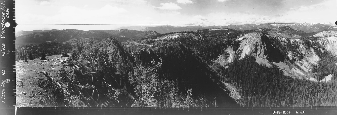
On September 18, 1934 panorama photos taken at 14+3 feet. We even have a photo of the camera man taking the pictures.
In 1963 the cab was destroyed.
Lookout Elevation: 6,820 feet
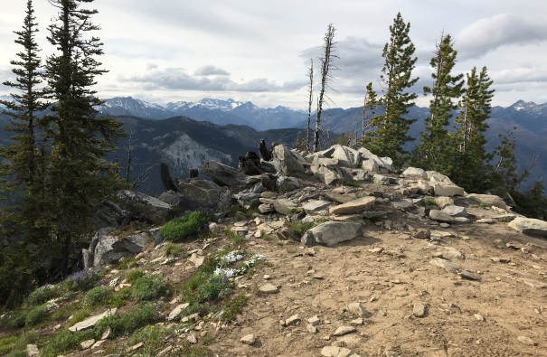
Klone Peak Lookout Site
Looking North 1934
Looking Southeast 1934
Looking Southwest 1934
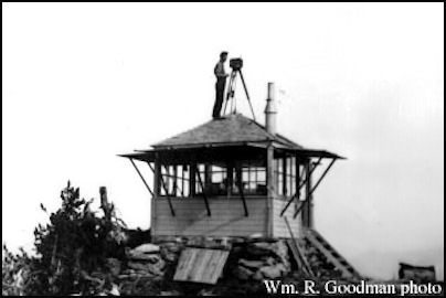
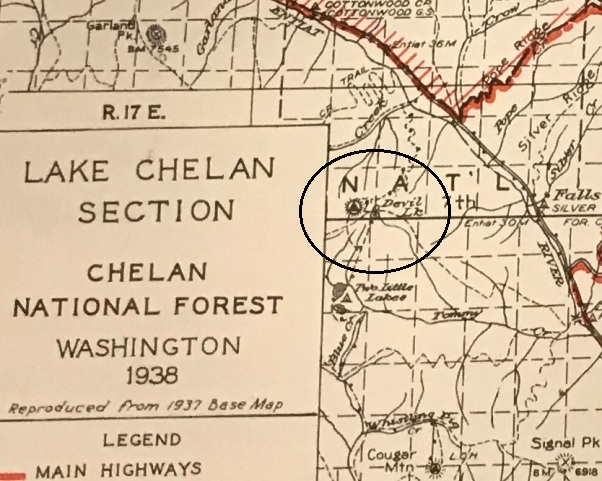
Chelan National Forest 1938
Klone Peak Lookout in 1934
Klone Peak Lookout
Access and Route:
There are many access points, I do not have a suggestion for this hike. I came in from Maverick Saddle, something like 12 hiking miles distant. I believe there are shorter trails out of the Entiat Valley. Just follow trails to the summit, no issues. The trail near the summit is interesting as it was used as a firebreak for some nearby fire. For long sections adjacent to the trail, a 30-foot fire break was cleared. Brush was removed and all trees were limbed up 10 feet. The upper Mad River Trails have a seasonal closure in late spring/early summer to everyone but hikers. This is the best time to visit.
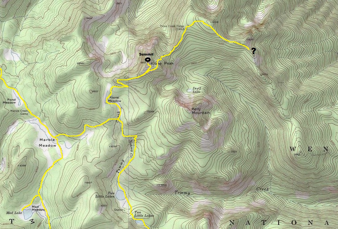
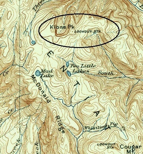
1904 map, 1934 version
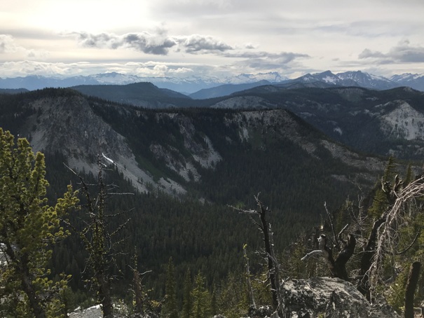
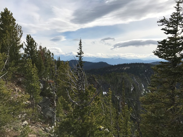
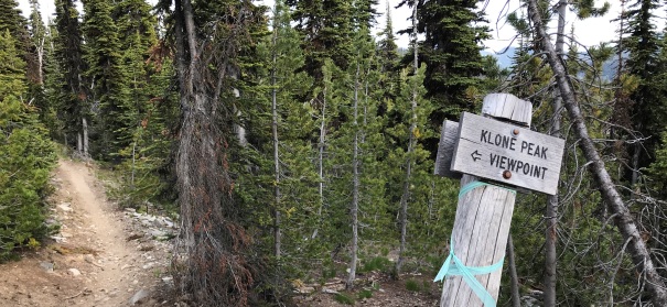

Chiwawa Ridge
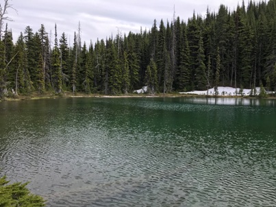
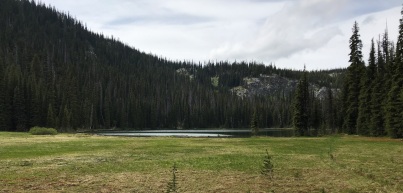
Lake Ann and Two Little Lakes are nearby
Trails near Klone Peak
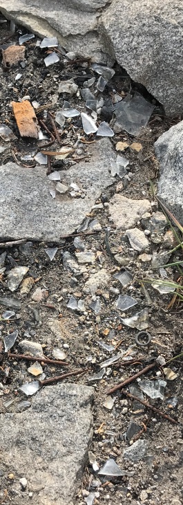
Assortment of little items at the summit
Looking NW
Looking SW
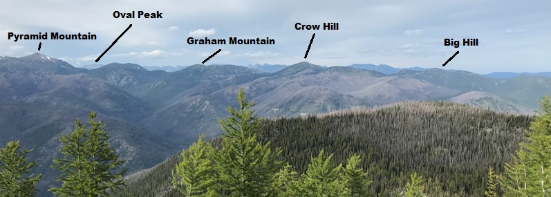
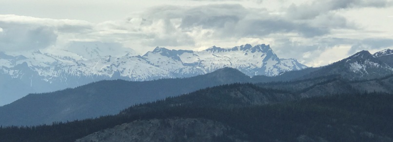
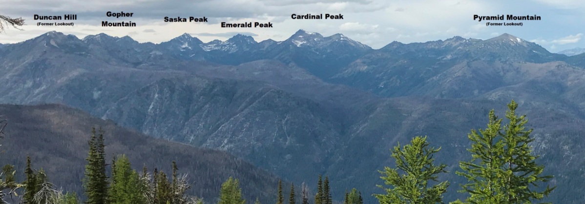
Chelan Mountains to the North
Buck Mountain and Glacier Peak in the clouds
Lookout Site
Chelan Mountains


