Johnson Mountain Lookout Site
WillhiteWeb.com
Johnson Mountain is the most southern mountain inside the Glacier Peak Wilderness. Johnson is also the tallest uplift of this extremely gorgeous area around Blue Lake, with 1,241 feet of prominence. The mountain is often done during a multi-day backpacking trip called the North Fork Sauk Loop.
Lookout Elevation: 6,721 feet
Hiking Distance: 9.5 miles one-way
Elevation Gain: 5,700 feet
County: Snohomish
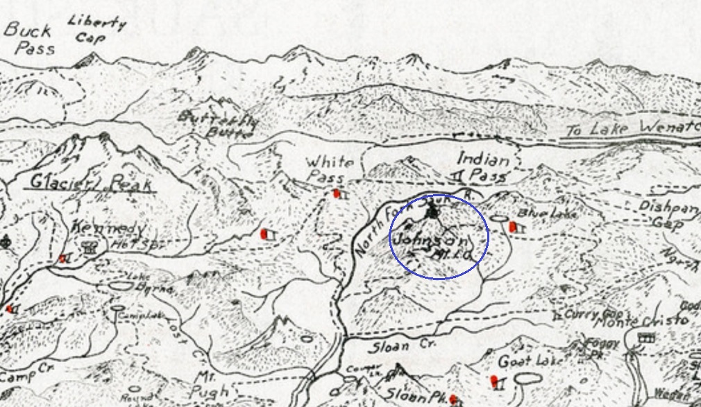
Early Darrington region sketch map
In 1938 an L-4 cab was built. The site was abandoned in 1959. Very little information about this site.
Lookout History
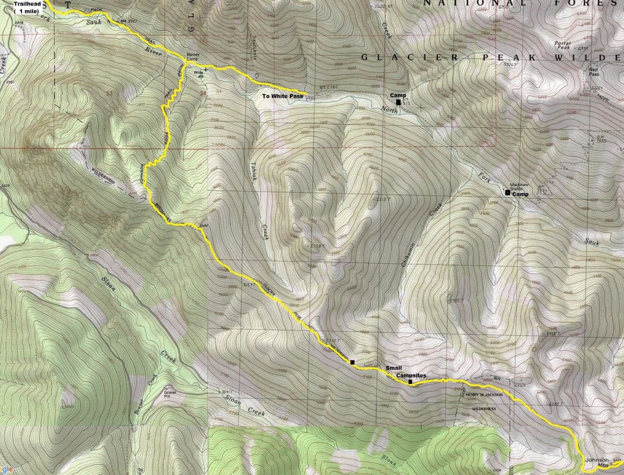
The best route is probably the North Fork Sauk River Trailhead. The popular trailhead is via a gravel road that any vehicle can reach. Walk up the trail about 2 miles, turn right on the Pilot Ridge Trail. Trail drops to river, crosses on a log, then climbs steeply to the top of Pilot Ridge. Follow Pilot ridge trail with several ups and downs to the SW ridge of Johnson Mountain. The former lookout trail climbs a half mile up the mountain from this point.
Access & Route:


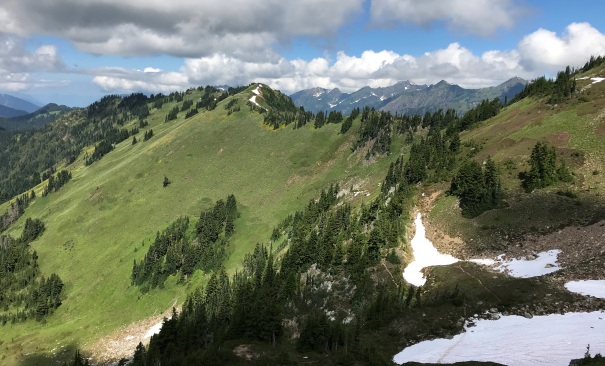
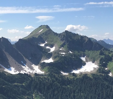
Johnson Mountain from Kodak Peak
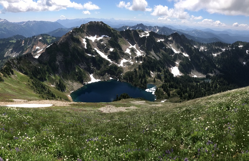
First view of Blue Lake
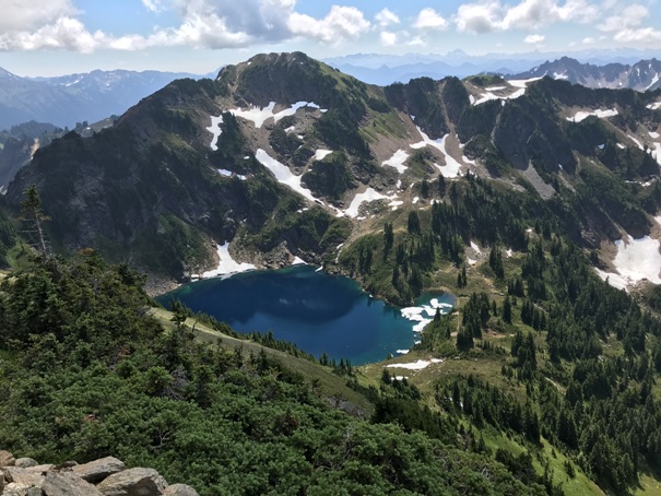
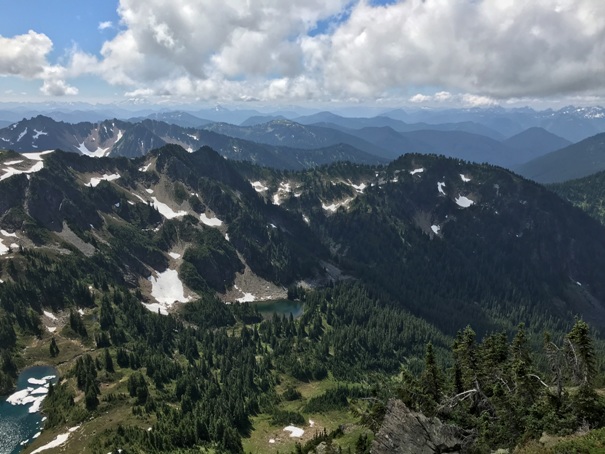
Blue Lake on bottom left and Little Blue Lake in center
Blue Lake and Peak 6,562 (aka Blue Mountain, 522 feet prominence)
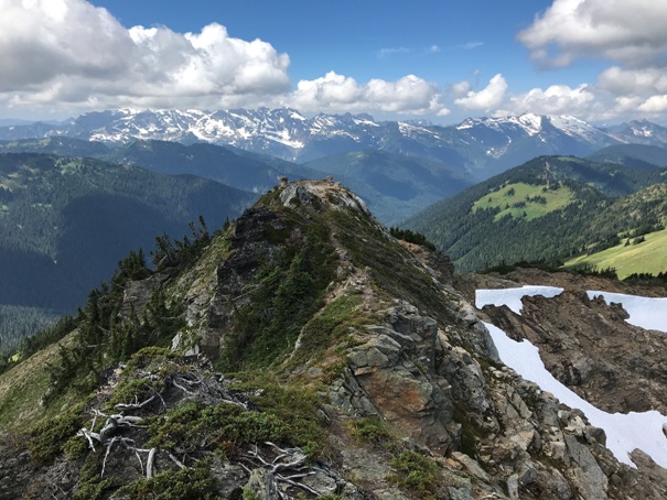
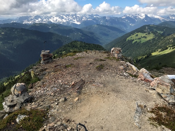
Lookout site and footings
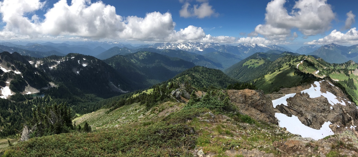
From the summit, looking down the ridge to the lookout site
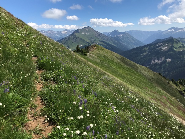
Flower show and a distant Sloan Peak in the clouds with Bedal to the right. Pugh just sticking up over the ridge.
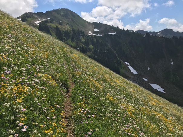
Johnson Mountain Trail with Indian Head Peak and Mt. Saul in the distance (center).
Traversing Pilot Ridge with Johnson Mountain getting closer and closer.
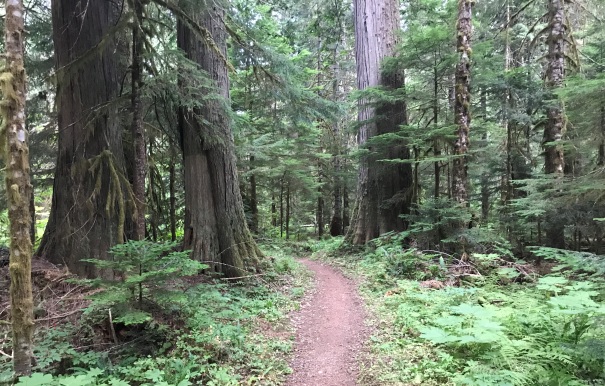
Trail starts among huge old-growth timber
Looking back at Pilot Ridge
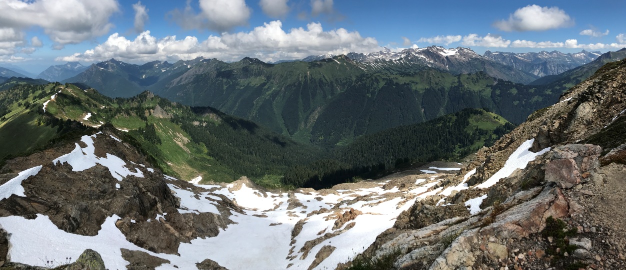
View north from Johnson Mountain
View west from Johnson Mountain


