Jack Ridge Lookout Site
WillhiteWeb.com
Built in 1931 was an L-4 cab on a 15 foot tower.
In 1932 the patrol man was �E.S. Gaines is leaving Monday for Jack Ridge where he will serve the U.S. Forestry Service as lookout and patrolman.� (Leavenworth Echo)
In 1933, Richard Siders was the Jack Ridge lookout fireman.
In 1934 we have panoramic photos from the roof of the cab, 30 feet above the ground.
In 1967 the lookout was removed or burned (evidence on ground of burn).
Lookout Elevation: 6,120 feet
Hiking Distance: Around 13 mile loop
Elevation Gain: Around 3,500 feet
Access: Excellent gravel road
County: Chelan


Looking North, August 14, 1934
Looking Southeast, August 14, 1934
Looking Southwest, August 14, 1934
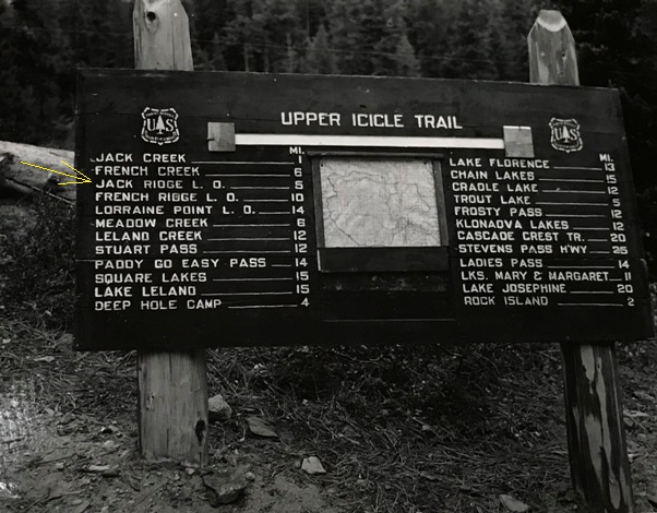
5 mile trail from the Icicle Creek Trail (unknown date for trail sign)
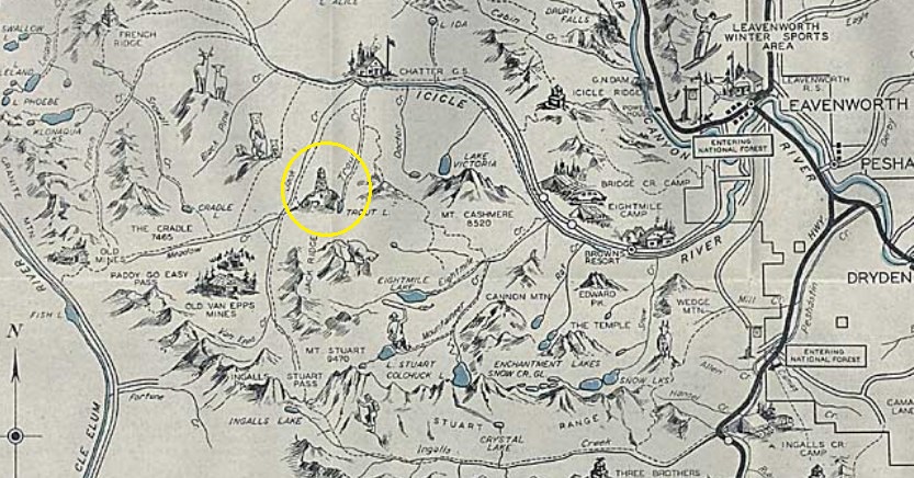
Leavenworth Recreation Map
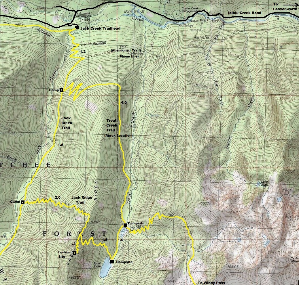
Take the Icicle River Road from Leavenworth up to Rock Island Campground. Shortly after the camp and bridge crossing of Icicle Creek, a signed road to the left says Jack Creek Trailhead.
Access:
This hike is a perfect loop starting at the 1.5 mile mark. Hiking the Jack Creek Trail first follows the old phone line on the west side where the original trail accessed the lookout. After 3.5 miles on the Jack Creek Trail, take the Jack Ridge trail. In 2020, the trail was overgrown but the first 2,000 feet had been logged out. Horse groups were in the process of getting this trail back into operation. The higher you hike, the better the trail gets. Once on the ridge, the trail follows the ridge a short distance before dropping down to Trout Lake. The lookout trail continues south on Jack Ridge climbing to the first knob where the lookout was located. This trail needs some work but can easily be followed. After the lookout, drop down the trail to Trout Lake. This section of trail is in good condition but was overgrown near the lake. This will probably be fixed soon. The lake has a few camps, but the shoreline is not great for enjoying the water. Hiking back on the Trout Creek trail, horse groups have been doing trail improvement to the lake making for easy travel. In time, they should get the whole loop cleared. Note that the only views are up near the lookout site, most of this hike is forested.
Route:
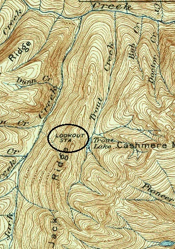
1904 map with 1934 update
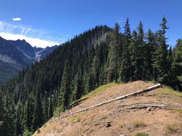
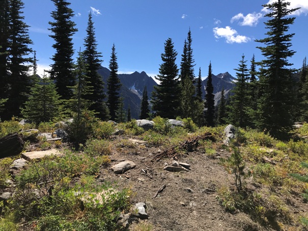
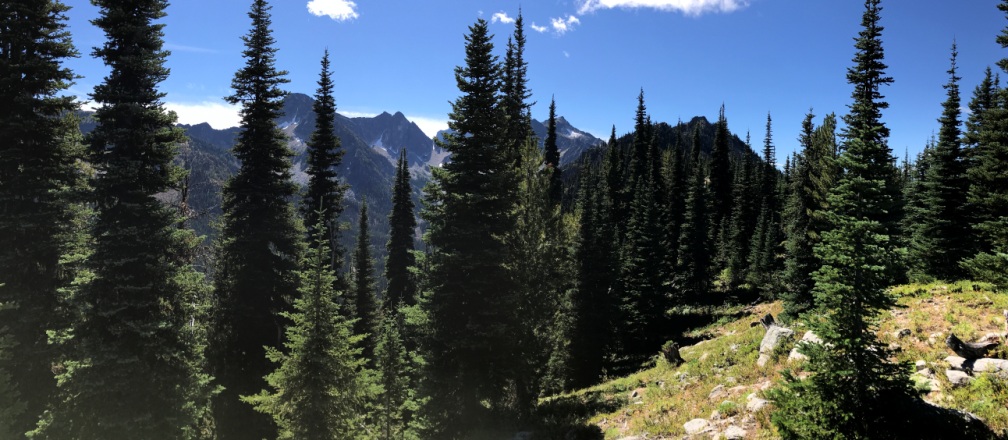
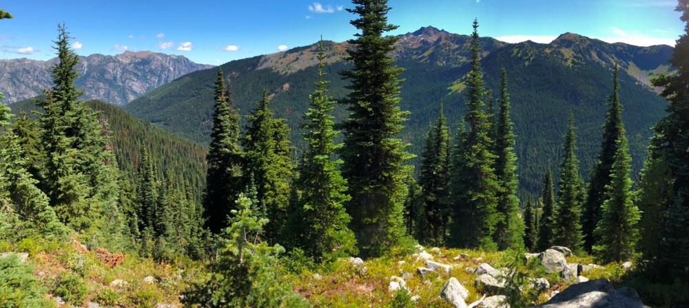

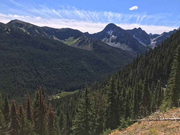
From the highpoint of the loop trail. Lookout site up next knob in image.
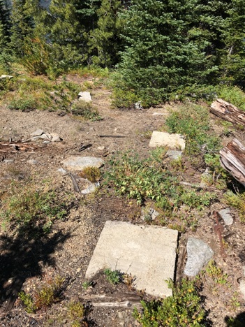
Area of lookout site
Looking down to Trout lake from the highpoint of the loop trail.
Two footings
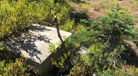
Footing with anchor bolt
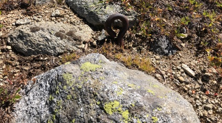
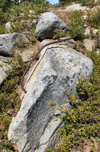
Several tie down eye bolts in the area
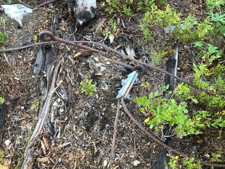
Tie down wire
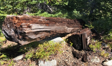
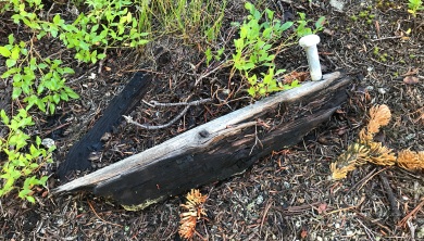
Burned tower posts
South view in 2020
Looking East to Cashmere Mountain
Anchor bolt


